
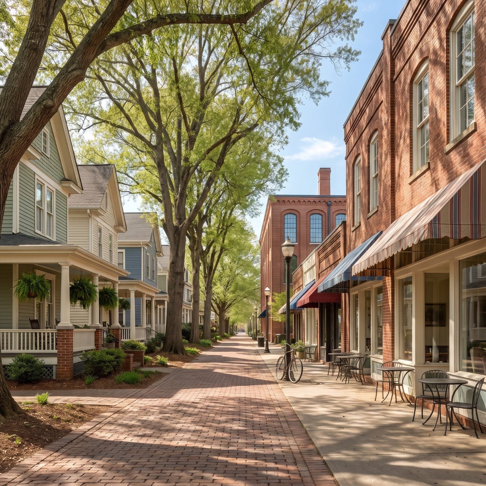
Most of North Carolina scores low for walkability. Charlotte as a whole lands at 26. You need a car to buy milk, and everybody knows it. But then there are the pockets that never gave up the sidewalk: old streetcar suburbs, mill villages that outlived the mill, dense downtown edges where the car can sit untouched for a week straight. We pulled the ones that top CoreLogic’s neighborhood characteristics, March 2025 dataset (scores 0-100, 100 = strongest match on their measure), and walked you through each by street, by landmark, by whatever earns it the spot.
11. Fourth Ward North, Charlotte (Walk Score 91.9)
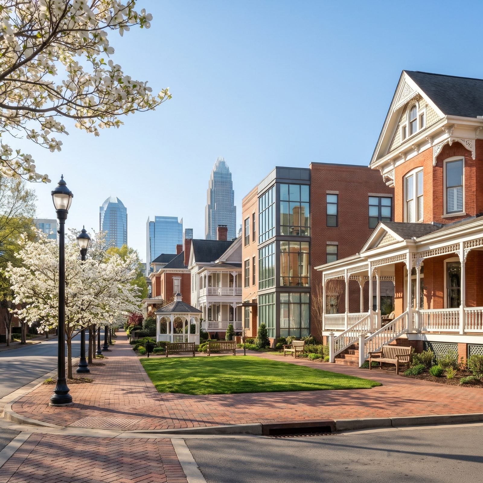
Top of the list, and it earns it. Fourth Ward North posts a 91.9 — the strongest walk score here — and you can feel why standing at the corner of N. Poplar, where grand 1800s Victorians share the block with glass condo towers and Uptown’s business center waits a few minutes away on foot.
In order to come up with the very specific design ideas, we create most designs with the assistance of state-of-the-art AI interior design software. Also, assume links that take you off the site are affiliate links such as links to Amazon. this means we may earn a commission if you buy something.
Fourth Ward Park, three acres run by Mecklenburg County at 301 N. Poplar St., anchors everything. The neighborhood came back from the brink after a Junior League and NCNB restoration push that kicked off in 1976. Discovery Place sits right in the ward too.
10. Boylan Heights, Raleigh (Walk Score 91.2)
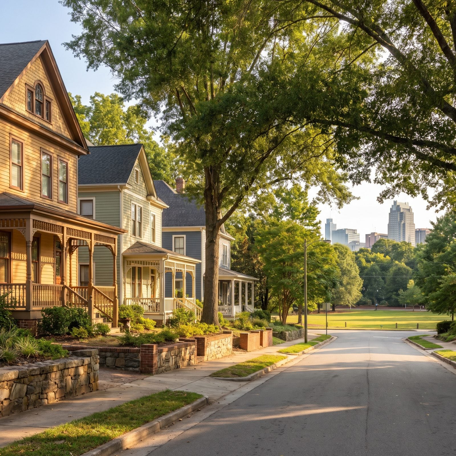
Right on the edge of downtown Raleigh, Boylan Heights packs more than 250 Queen Anne and Colonial Revival buildings into a walkable historic district. It landed on the National Register in 1985, and the 91.2 score confirms what the sidewalks already tell you.
Dorothea Dix Park, Raleigh’s largest, sits just across the road. The annual ArtWalk draws crowds, breweries and restaurants are an easy stroll, and this is the kind of block where you leave the keys in the bowl all weekend.
9. Golden Belt, Durham (Walk Score 90.5)
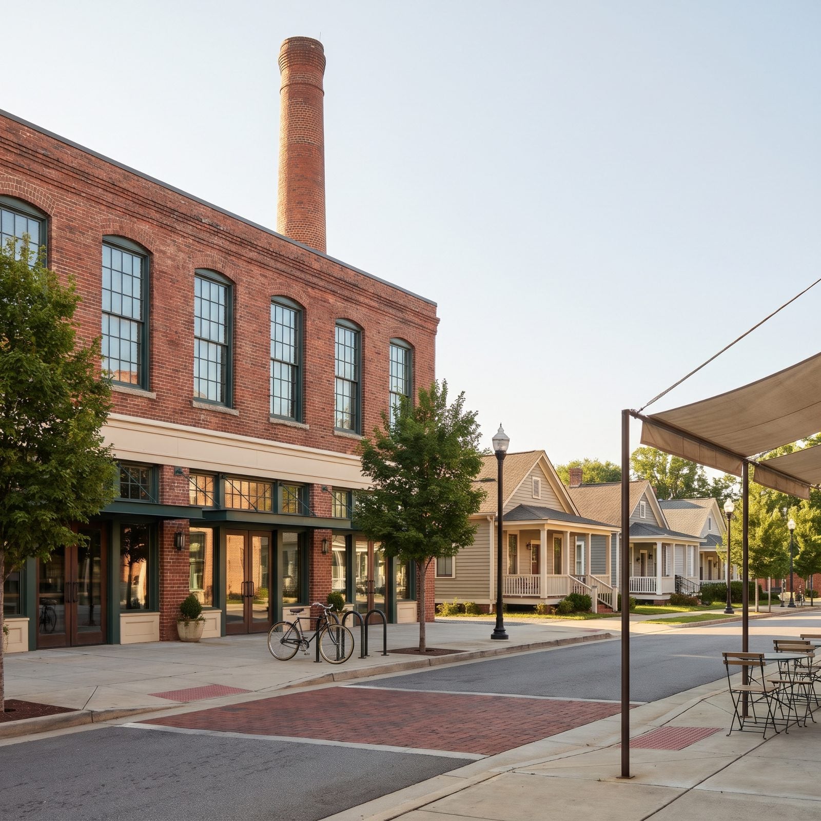
Industrialist Julian S. Carr built Golden Belt as a mill and housing complex rolled into one, east of downtown Durham on East Main. The 1901 mill is now the Golden Belt Campus — renovated in 2008 and again in 2018 — holding offices, live/work apartments, artist studios, Hi-Wire Brewing, and the Mill Stage.
A 90.5 walk score, and the whole village fans out from that brick. Most houses are early-1900s single-family homes built for Golden Belt Manufacturing workers. The studios run Third Friday events every month, 6 to 9 p.m. Worth timing a visit around.
8. North Boylan, Raleigh (Walk Score 88.5)
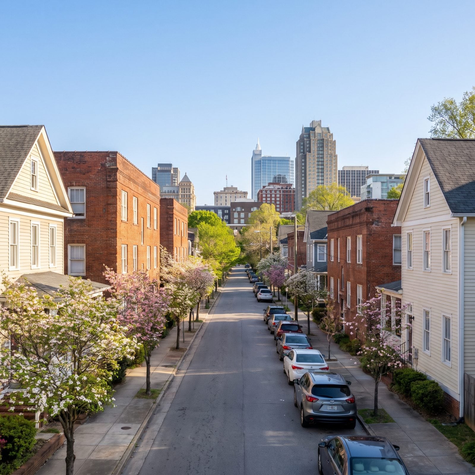
Small doesn’t begin to cover it. North Boylan runs about 0.04 square miles on the west edge of downtown Raleigh — basically N. Boylan Ave., Willard Pl., W. Jones St., and a short stretch of Glenwood.
City-Data puts the population near 238, which works out to roughly 5,730 people per square mile. That’s about a third denser than Raleigh overall, and households here keep an average of 1.3 vehicles against the city’s 2.0. Dense enough to walk, small enough to know everyone. The 88.5 reflects a place where leaving the car home is just normal, not noble.
7. Old West Durham, Durham (Walk Score 88.3)
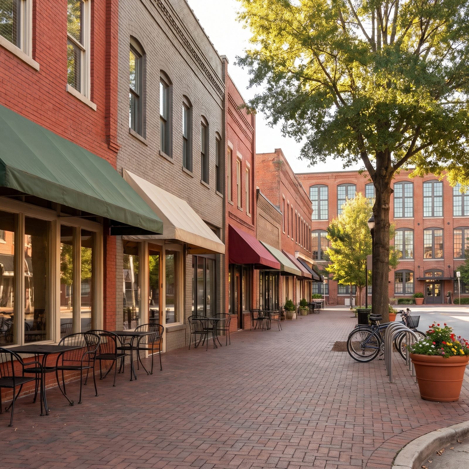
Ninth Street is the heart of it. This historic mill neighborhood sits next to Duke’s East Campus, and Erwin Mill on Ninth has been turned into shops and apartments. The building at 700 to 702 Ninth St., put up between 1907 and 1913, was one of West Durham’s first brick commercial buildings.
Hillsborough Road adds Cocoa Cinnamon and Vin Rouge. Food Lion, Harris Teeter, and Whole Foods all sit in the neighborhood — that’s how a place earns an 88.3. Ninth Street was a streetcar route once, and honestly it still moves like one.
6. Brice Street Area, Greensboro (Walk Score 87.6)
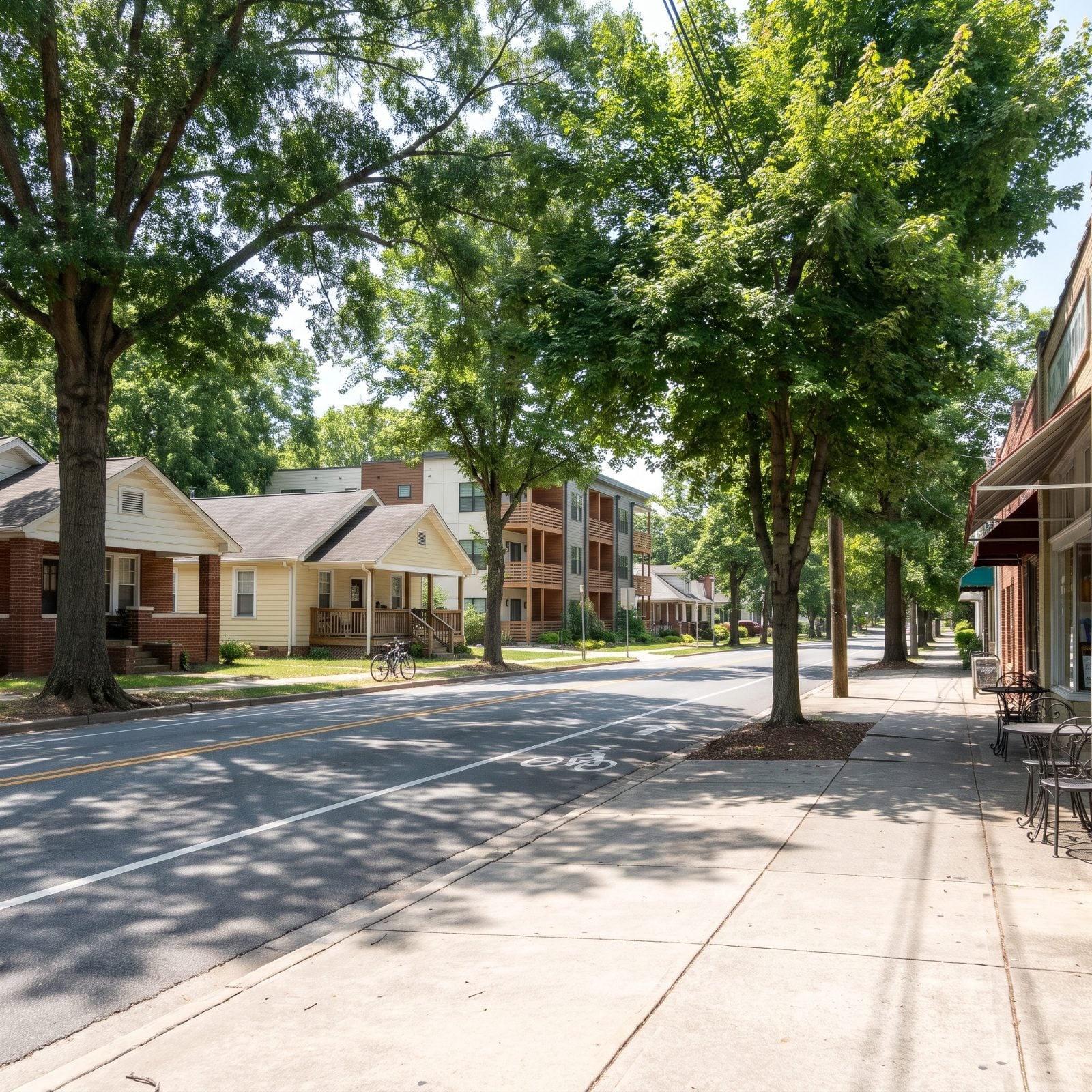
Directly west of the UNC Greensboro campus, the Brice Street area runs wooded and walkable, with housing that swings from student rentals to tidy bungalows to modern apartments. It ranks among Greensboro’s most walkable neighborhoods.
Shops and restaurants sit within walking distance along Spring Garden Street, Walker Avenue, and S. Aycock Street, including the Four Corners dining and nightlife intersection at Walker and S. Elam. The neighborhood shares a few traditions with nearby Sunset Hills — the December Christmas-ball lights and the Running of the Balls 5K among them.
5. Plaza Midwood West, Charlotte (Walk Score 86.6)
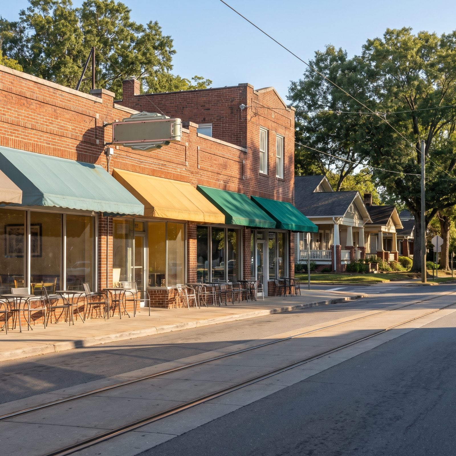
Less than two miles east of Uptown, Plaza Midwood West draws Hawthorne Lane as its western edge and Central Avenue as its southern. The Plaza and Central are where you walk — coffee, bars, services, the works. CoreLogic puts it at 86.6.
Established in 1910 and known for its 1920s Craftsman bungalows, this is where you’d hunt for walnut living room designs, with built-in cabinetry, a gray sofa and leather armchairs, to suit a sunlit bungalow interior. The CityLYNX Gold Line streetcar runs along Hawthorne Lane on the western edge, with a stop at Sunnyside Avenue, so even the car-free can roam.
4. High Point University Area, High Point (Walk Score 85.7)
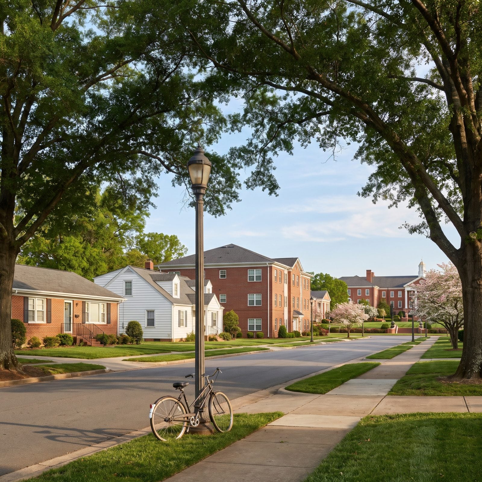
Context matters here. The High Point University area posts an 85.7 on CoreLogic and ranks as the most walkable neighborhood in High Point, home to about 1,754 residents.
Fair warning, though. By Walk Score’s own measure it still rates as car-dependent, meaning most errands need wheels. It stands out because the citywide number is a dismal 23. So this is walkable for High Point — a real distinction, just not the same thing as walkable for Charlotte. We’d rather tell you straight than oversell a block.
3. Asheboro Community, Greensboro (Walk Score 85.2)
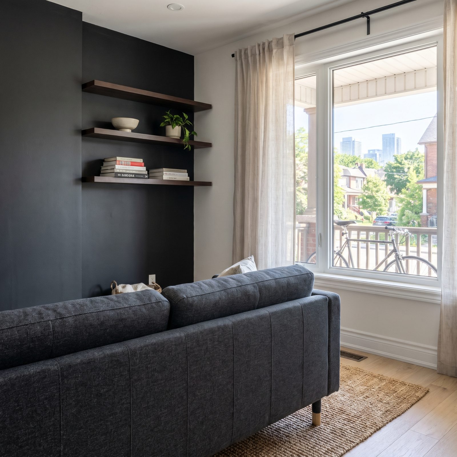
Just south of downtown Greensboro in ZIP 27406, the Asheboro Community covers about 0.37 square miles with roughly 1,389 residents. A few minutes’ walk from downtown, mixing small and large single-family homes with plenty of renovations underway.
It takes its name from the old Asheboro Street corridor, since renamed Martin Luther King Jr. Drive — a street once lined with some of Greensboro’s grandest homes. Tied with West End at 85.2, it’s a neighborhood actively finding its footing again.
2. Downtown Winston-Salem: Fourth Street Dinners and Trade Street Murals on Foot
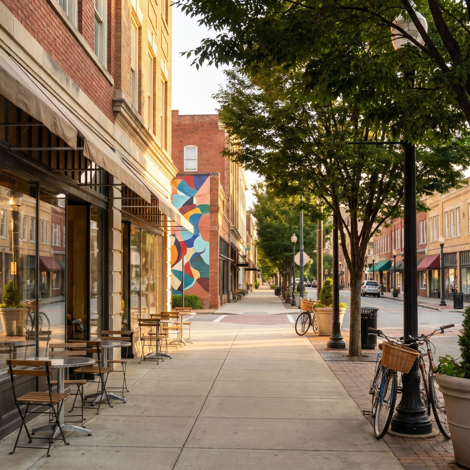
Most downtowns make you drive between the good parts. This one doesn’t. Fourth Street, the stretch locals call Restaurant Row, runs right into Trade Street and the Arts District, so dinner and a gallery crawl happen on the same pair of shoes.
CoreLogic’s March 2025 dataset hands this downtown tract an 85.2 for walkability (scores run 0-100, 100 being the strongest match on their measure). What the number can’t tell you is the feel of the place — brick storefronts crowding the curb, generously wide sidewalks, the scatter of independent galleries and murals along Trade. Back in 2023, the city adopted the Downtown Winston-Salem Plan, which lays out recommendations for the Arts District, Theater District, Twin City Quarter and Wake Forest Innovation Quarter.
1. Carolina Place, Wilmington: Wilmington’s First Streetcar Suburb, Still Built for Walking
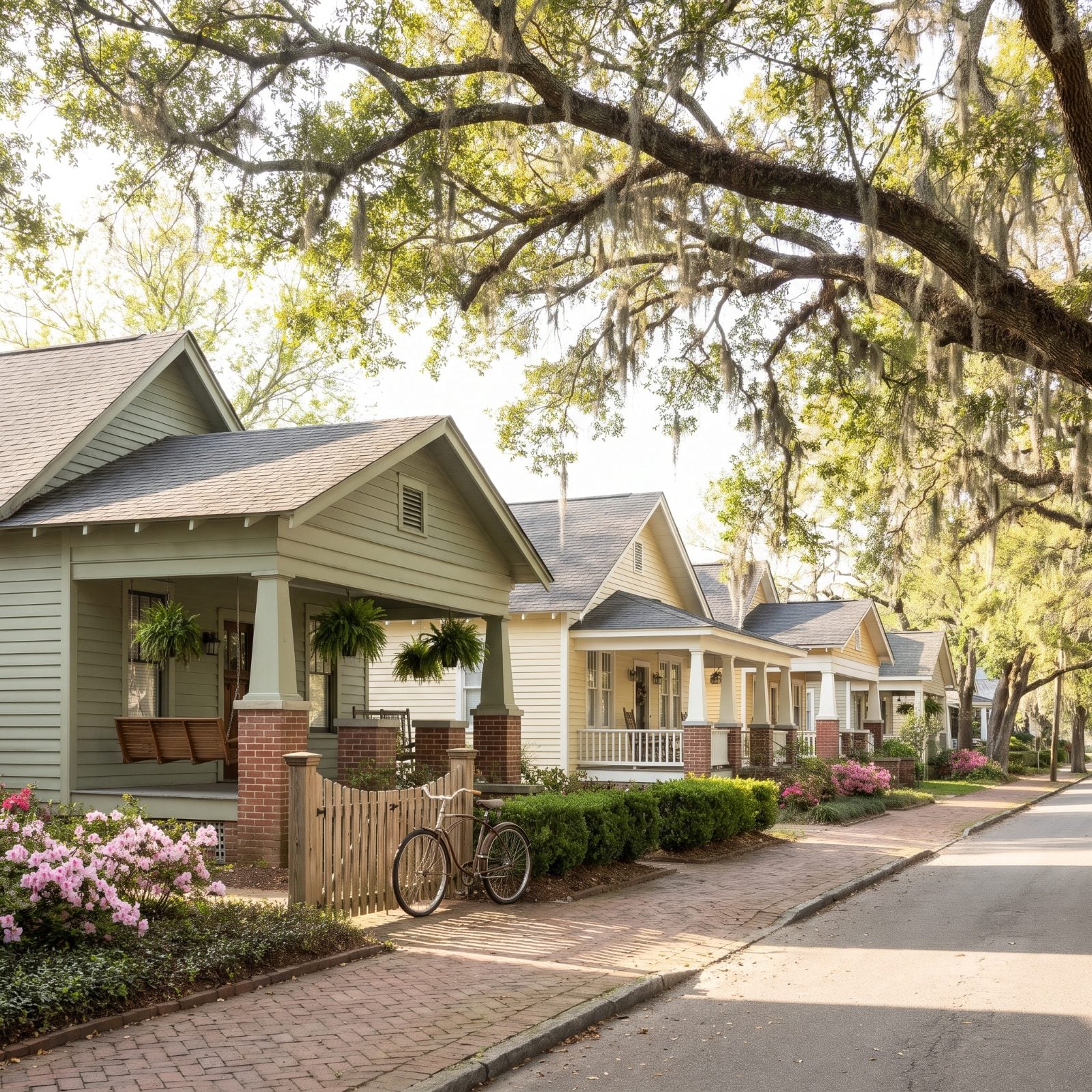
Built somewhere between 1906 and 1941, Carolina Place was Wilmington’s first planned streetcar suburb, and the bones still give it away. Sidewalks run unbroken, oaks lean over the street, and the porches sit close enough to the walk that you could carry on a conversation with someone strolling past.
CoreLogic’s March 2025 dataset puts this tract at 85 for walkability, and honestly, the layout earns every point. We’re talking about a 46-acre historic district with 337 contributing buildings, bounded roughly by Market Street, Wallace Park, Gibson Avenue, Wrightsville Avenue and S. 18th Street, and added to the National Register in 1992. Bungalows run the show here. Queen Anne and Colonial Revival fill in around them, all a short stroll beyond downtown.
Those deep porches aren’t just a pretty detail — they’re what a street looks like when it’s designed before cars took over everything. If that unhurried, grounded feeling appeals to you, the same instinct turns up indoors in brown bed designs that lean warm and lived-in.