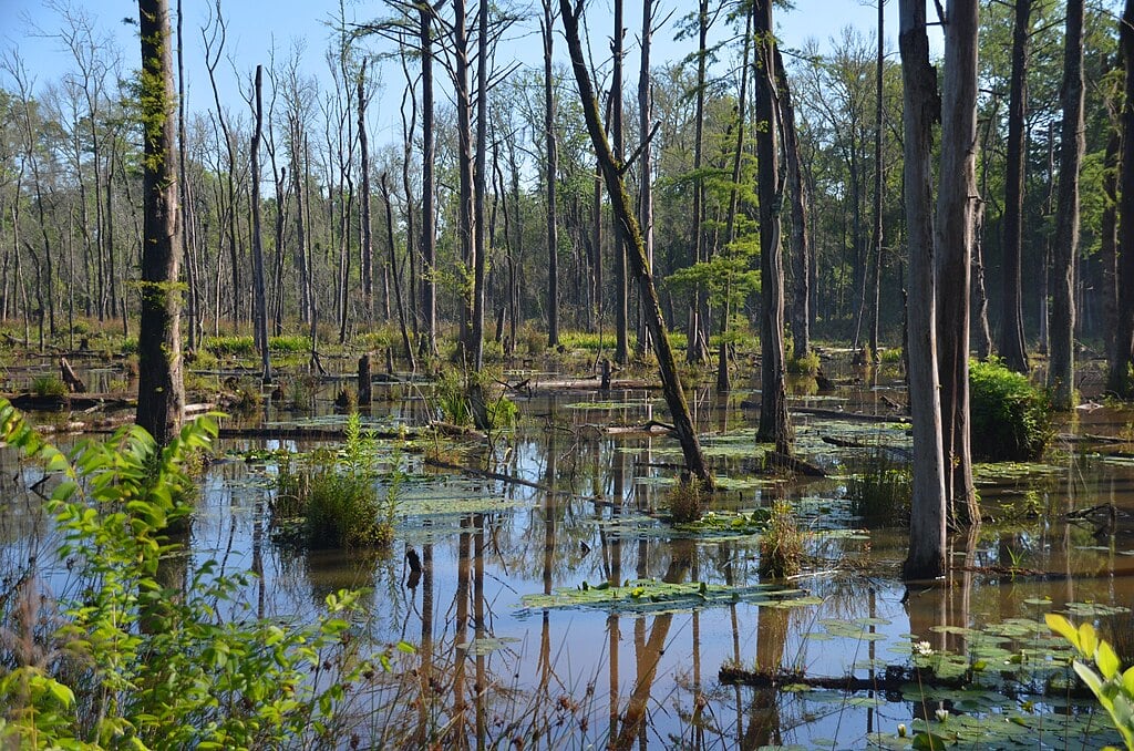
From the Appalachian foothills to the storm-lashed Gulf Coast, Alabama’s varied terrain shapes one of the wettest climates in the Southeast. Warm, moisture-rich air from the Gulf collides with northern mountain slopes and settles into river valleys, driving annual rainfall from around 50 inches in some inland areas to over 70 inches along the coast.
Rankings are based on average annual rainfall from NOAA’s 1991–2020 Climate Normals, supplemented by regional climate summaries and local station data. Tie-breakers include warm-season rainfall and average sunny days.
In order to come up with the very specific design ideas, we create most designs with the assistance of state-of-the-art AI interior design software. Also, assume links that take you off the site are affiliate links such as links to Amazon. this means we may earn a commission if you buy something.
30. Anniston, AL

Sits in the Appalachian foothills where spring storms crash into rising terrain. Average annual rainfall: 52–54 inches. Average sunny days: ~210. Mountains enhance both severe weather and gentle frontal rains, with occasional winter ice storms.
29. Gadsden, AL

The Coosa River valley funnels thunderstorms into this northeast Alabama city. Average annual rainfall: 54–58 inches. Average sunny days: ~208. Terrain boosts storm activity, with secondary rainfall peaks when winter systems track through the Tennessee Valley.
28. Alexander City, AL

Sits beside Lake Martin where lake breezes trigger explosive afternoon storms. Average annual rainfall: 56–58 inches. Average sunny days: ~212. The lake’s thermal boundaries fire summer thunderstorms while spring fronts bring severe weather.
27. Jasper, AL

Walker County’s rolling hills provide just enough lift to boost rainfall totals. Average annual rainfall: 58–62 inches. Average sunny days: ~205. Spring squall lines frequently target this area while summer storm clusters drift slowly overhead.
26. Wetumpka, AL

Where two rivers meet, atmospheric boundaries collide with dramatic results. Average annual rainfall: 55–57 inches. Average sunny days: ~213. Storm outflow boundaries focus over the river junction, with tropical remnants occasionally delivering heavy rains.
25. Bay Minette, AL

Baldwin County’s gateway experiences full Gulf Coast weather without coastal moderation. Average annual rainfall: 64–66 inches. Average sunny days: ~218. Sea-breeze collisions regularly trigger towering storms, while tropical systems can dump extreme daily totals.
24. Robertsdale, AL
This inland Baldwin County town sits under slow-moving summer storm systems. Average annual rainfall: 65–67 inches. Average sunny days: ~218. Training thunderstorm bands create repetitive downpours, while tropical events stall and soak the coastal plain.
23. Loxley, AL
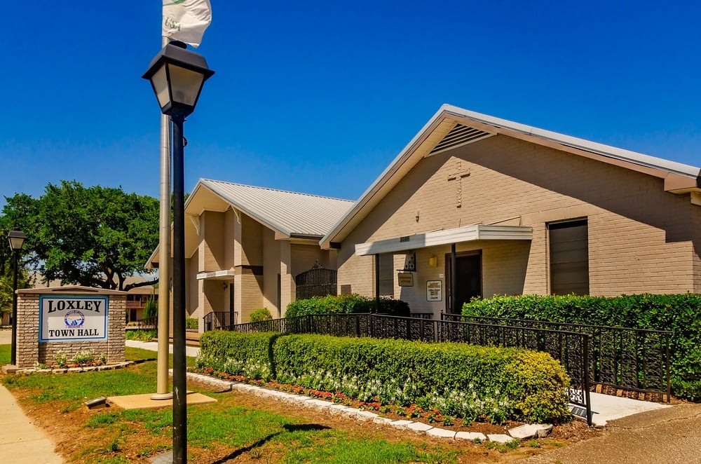
Daily sea and land breeze cycles create a meteorological hot zone here. Average annual rainfall: 65–67 inches. Average sunny days: ~218. Frequent lightning displays mark summer evenings, with tropical rain shields that linger for days.
22. Summerdale, AL
Afternoon storm activity peaks reliably over this Gulf Coast community. Average annual rainfall: 66–68 inches. Average sunny days: ~218. Coastal moisture feeds daily thunderstorm development, while tropical setups trigger freshwater flooding.
21. Elberta, AL

Near Weeks Bay, this community sees Alabama’s most consistent summer convection. Average annual rainfall: 66–69 inches. Average sunny days: ~218. Bay proximity provides perfect storm conditions, while tropical rainbands tend to stall here.
20. Cullman, AL

Northern hill country location puts it in the path of Tennessee Valley severe weather. Average annual rainfall: 61.7 inches. Average sunny days: ~207. Spring brings frequent severe storms and tornadoes, with reliable summer afternoon convection over the hills.
19. Fairhope, AL

This Eastern Shore town experiences the full range of Gulf Coast weather patterns. Average annual rainfall: 69–71 inches. Average sunny days: ~219. Sea-breeze storms fire daily in summer, while tropical systems bring prolonged heavy rain that tests drainage.
18. Dauphin Island, AL

🔥 Would you like to save this?
Alabama’s barrier island faces the Gulf head-on, experiencing weather at full intensity. Average annual rainfall: 61.1 inches. Average sunny days: ~220. Exposed location means intense tropical downpours, with strong sea breezes and elevated storm surge risk.
17. Atmore, AL

Coastal plain location enjoys Gulf moisture with some shelter from direct exposure. Average annual rainfall: 63.6 inches. Average sunny days: ~215. Summer storms thrive in the persistent humidity, while the inland position buffers the most extreme coastal weather.
16. Fairview (Coden area), AL
Deep coastal exposure ensures this Mobile Bay community gets Gulf weather at full strength. Average annual rainfall: 68.7 inches. Average sunny days: ~219. High humidity levels fuel frequent summer storms, with rainfall bursts that intensify during hurricane season.
15. Mobile, AL (suburban areas)

The port city’s suburbs experience classic Gulf Coast weather with sea breezes driving daily patterns. Average annual rainfall: 67.1 inches. Average sunny days: ~218. Gulf proximity ensures frequent summer thunder, while the urban heat island enhances storm activity.
14. Enterprise, AL

Southeast Alabama’s position catches both Gulf moisture and Atlantic tropical influences. Average annual rainfall: 57.9 inches. Average sunny days: ~210. Summer convection thrives in the humid air mass, while late-fall fronts and tropical remnants spread rain year-round.
13. Montgomery, AL (suburban analogs)

The capital’s outlying areas sit in the bullseye of frontal storm complexes. Average annual rainfall: 51.2 inches. Average sunny days: ~215. Spring brings storm clusters along frontal boundaries, while late summer dryness breaks with hurricane remnant rains.
12. Dothan, AL

Deep in Alabama’s southeast corner, blending Gulf moisture with Atlantic influences. Average annual rainfall: 53.9 inches. Average sunny days: ~212. Daily summer afternoon storms are routine, with tropical system remnants common in late summer and fall.
11. Jackson, AL
Southeast hills provide enough terrain interaction to enhance rainfall from passing systems. Average annual rainfall: 60.2 inches. Average sunny days: ~210. Spring severe weather risk is notable, while summer and fall tropical downpours interact with the modest topography.
10. Monroeville, AL

South-central location catches Gulf moisture streams for consistent warm-season rainfall. Average annual rainfall: 62.5 inches. Average sunny days: ~212. Summer storms fire frequently in the humid air mass, while the inland position provides some shelter from extreme coastal weather.
9. Thomasville, AL

This pine belt community sits where abundant Gulf moisture meets subtle terrain features. Average annual rainfall: 61.0 inches. Average sunny days: ~210. Thunderstorms are common from spring through early fall, with hurricane remnants regularly tracking inland.
8. Bayou La Batre, AL

Direct Gulf Coast exposure means weather at its most intense, with little inland buffering. Average annual rainfall: 67–69 inches. Average sunny days: ~219. Summer storms can be particularly fierce due to unlimited Gulf moisture, while tropical storm risk remains high.
7. Foley, AL

Frequent sea-breeze collisions over Baldwin County create a daily thunderstorm factory here. Average annual rainfall: 67.7 inches. Average sunny days: ~218. Opposing air masses regularly trigger violent afternoon storms, while tropical rainfall reaches extreme levels when systems stall.
6. Orange Beach, AL

🔥 Would you like to save this?
This Gulf-front resort experiences Alabama weather at its most tropical intensity. Average annual rainfall: 67–70 inches. Average sunny days: ~219. Immediate Gulf location means storms develop and intensify rapidly, with hurricane vulnerability ensuring occasional extreme rainfall events.
5. Gulf Shores, AL

Alabama’s premier beach destination known for dramatic summer weather patterns. Average annual rainfall: 69.0 inches. Average sunny days: ~219. Frequent heavy downpours punctuate sunny beach days, while the town serves as an unofficial lightning capital of the coast.
4. Magnolia Springs, AL

Near the Magnolia River, this Baldwin County community sits in a natural moisture collection zone. Average annual rainfall: 69–71 inches. Average sunny days: ~218. River valley environment breeds abundant summer storms, while low-lying terrain makes it prone to flooding during tropical systems.
3. Spanish Fort, AL

Overlooks Mobile Bay from the Eastern Shore, experiencing enhanced bay-effect weather patterns. Average annual rainfall: 70–72 inches. Average sunny days: ~218. Sea-breeze driven storms are daily summer occurrences, while the topographical position funnels tropical rainfall for significant flood risk.
2. Daphne, AL

The Eastern Shore’s largest community sits in the heart of Alabama’s wettest region. Average annual rainfall: 71.0 inches. Average sunny days: ~218. Gulf and bay moisture create near-daily summer convection, while tropical systems occasionally produce extreme rainfall that exceeds monthly averages.
1. Mobile Regional Airport area (Mobile, AL)
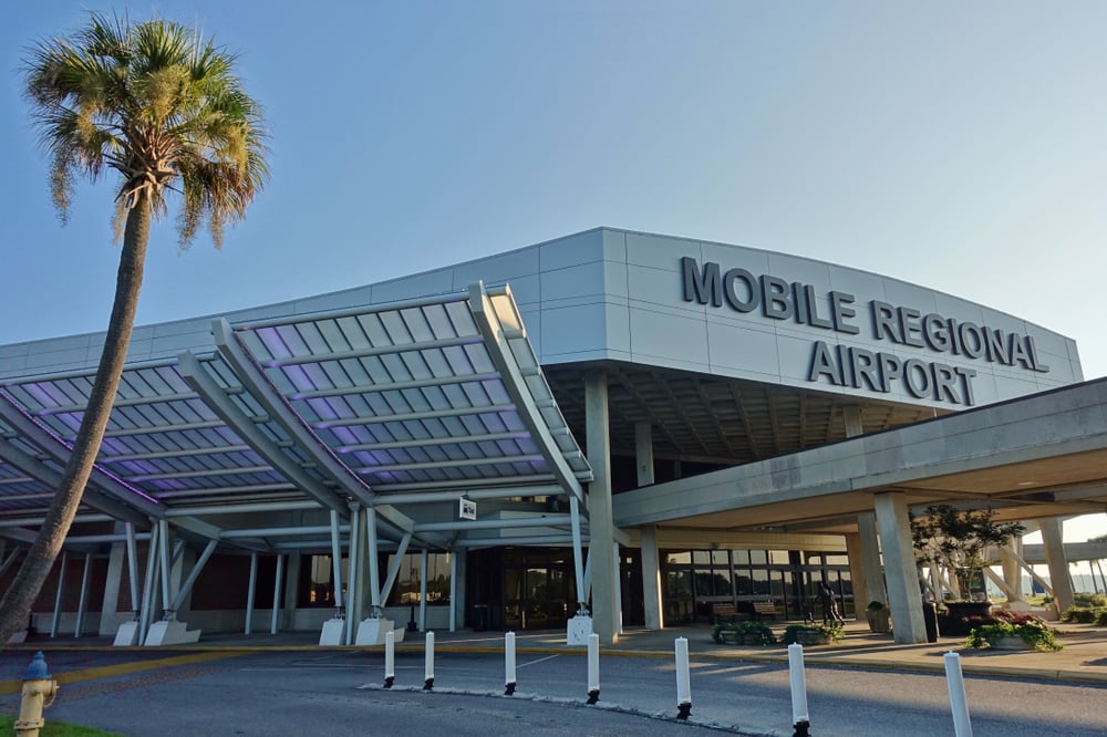
Takes the crown as Alabama’s wettest location and one of the rainiest spots in the continental U.S. Average annual rainfall: 71.6 inches. Average sunny days: ~218. This meteorological hot spot experiences frequent heavy thunderstorms year-round, enhanced by Gulf proximity and urban heat effects.
References
NOAA/NCEI U.S. Climate Normals (1991–2020) – Annual precipitation values from nearest weather stations. https://www.ncei.noaa.gov/access/us-climate-normals/
CurrentResults.com – Alabama annual precipitation summaries (citing NOAA/NCEI). https://www.currentresults.com/Weather/Alabama/average-yearly-precipitation.php
National Weather Service – Mobile/Pensacola, Birmingham, Huntsville – Local climate and weather patterns.
https://www.weather.gov/mob/
https://www.weather.gov/bmx/
https://www.weather.gov/hun/