
🔥 Would you like to save this?
Snow in North Carolina rarely announces itself politely. It arrives like a houseguest who swore they’d stay an hour and then buries the driveway for two weeks. The mountains expect it. The coast does not, which is exactly why a white Christmas in Wilmington lands harder than three feet in Boone.
From thunder cracking over New Bern to cars abandoned on Glenwood Avenue, these are the storms that rewrote the record books and the family stories. The ones below still come up every time the forecast whispers the word.
In order to come up with the very specific design ideas, we create most designs with the assistance of state-of-the-art AI interior design software. Also, assume links that take you off the site are affiliate links such as links to Amazon. this means we may earn a commission if you buy something.
10. The Three Wednesday Snows of March 1960

Three Wednesdays in a row. Snow and ice hit North Carolina on March 2, 9, and 16, 1960, like the sky had booked a standing weekly appointment. The middle one did the real damage: 9.8 inches in Charlotte, 11.1 in Greensboro, and a staggering 14.4 in Asheville.
Then a Friday storm two days later handed the coast its biggest snow of the winter, 7 inches in Wilmington and 9 at Hatteras. Up in the mountains, snow stood three feet deep with drifts reported up to thirty.
9. The Great Southeastern Snowstorm of 1973
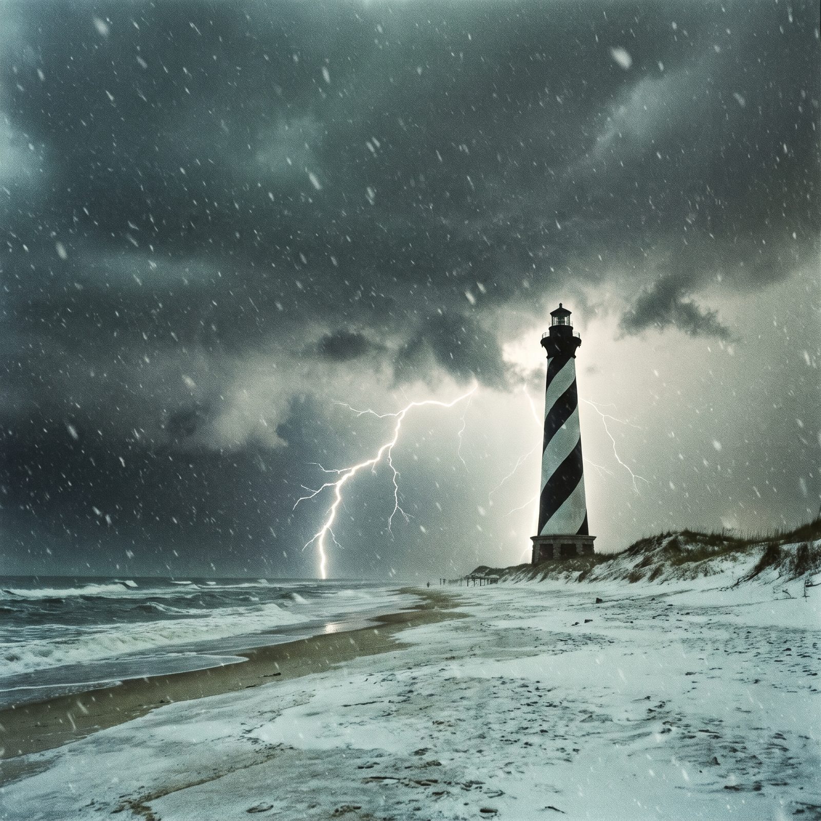
Thunder with snow is the kind of thing coastal North Carolina files under “things that don’t happen here.” On February 10, 1973, it happened anyway. Thundersnow cracked over Wilmington at noon and New Bern by two in the afternoon while the flakes kept piling up.
Whiteville took 16.5 inches. Morehead City got 16, New Bern 13, Wilmington 12.5. Wind gusts over 40 mph dropped visibility to near zero across the east that evening.
The National Weather Service calls it true blizzard conditions in a place that almost never sees snow. Whole communities were cut off for days, which is a lot to ask of a region that panics over a dusting.
8. Eastern North Carolina’s ‘Snowstorm of the Century’ (March 1980)
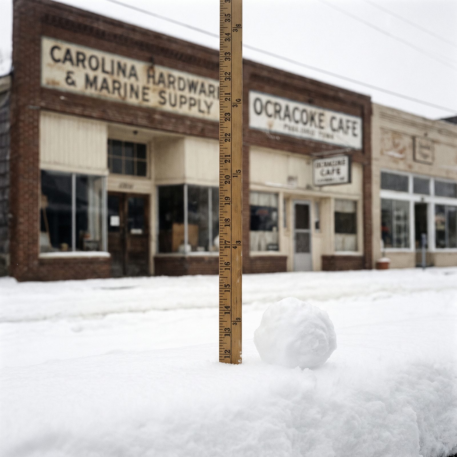
Twenty-five inches on the yardstick. In Elizabeth City. On the coastal plain where a single snowball usually makes the front page.
March 2, 1980 dumped heavy snow across the whole state, with near-blizzard conditions out east. ECU in Greenville canceled classes for two full days after roughly 20 inches, and even Raleigh-Durham logged a little over 11, one of the capital’s bigger storms on record.
7. The Coastal White Christmas of 1989

Picture waking up in Wilmington on Christmas morning, 1989, to its first white Christmas ever recorded there. It happened.
Snow fell December 22 through 24. More than 15 inches piled up across Brunswick County, Wilmington, Jacksonville, and Morehead City, while Cape Hatteras and Nags Head caught a foot or more with drifts four to eight feet high.
Then came the cold, and it was brutal. Christmas morning set all-time record lows: 0°F at the Wilmington airport, minus 3 in Southport, minus 4 in New Bern. The State Climate Office still calls it the most significant snowstorm in recent memory for much of the southern coast. The mountains and Piedmont, meanwhile, got almost nothing, which must have felt deeply unfair from behind a window in Boone.
6. The 1993 Storm of the Century
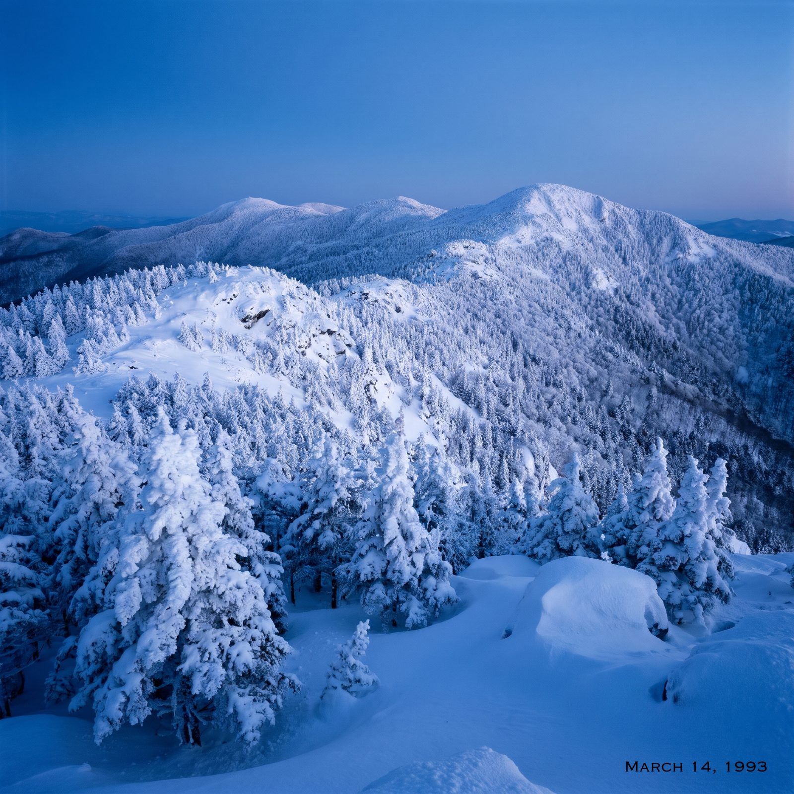
Fifty inches on Mount Mitchell. That’s not a typo, and it’s still the statewide storm-total record.
From March 12 to 14, 1993, the Storm of the Century parked over the mountains and unloaded. Thirty-six inches fell at Mitchell in a single day, the state 24-hour record. Boone and Banner Elk got 30. Blowing Rock, three feet.
And this was no quiet snow. A 101 mph gust tore across Flattop Mountain near Boone. Gusts hit 70 mph in Wilmington and 83 at Cherry Point. Down in Raleigh the air pressure bottomed out at 968.8 mb, lower than when the remnants of Hurricane Hazel rolled through in 1954. The whole state got worked over.
5. Raleigh’s Surprise Record Snow of January 2000
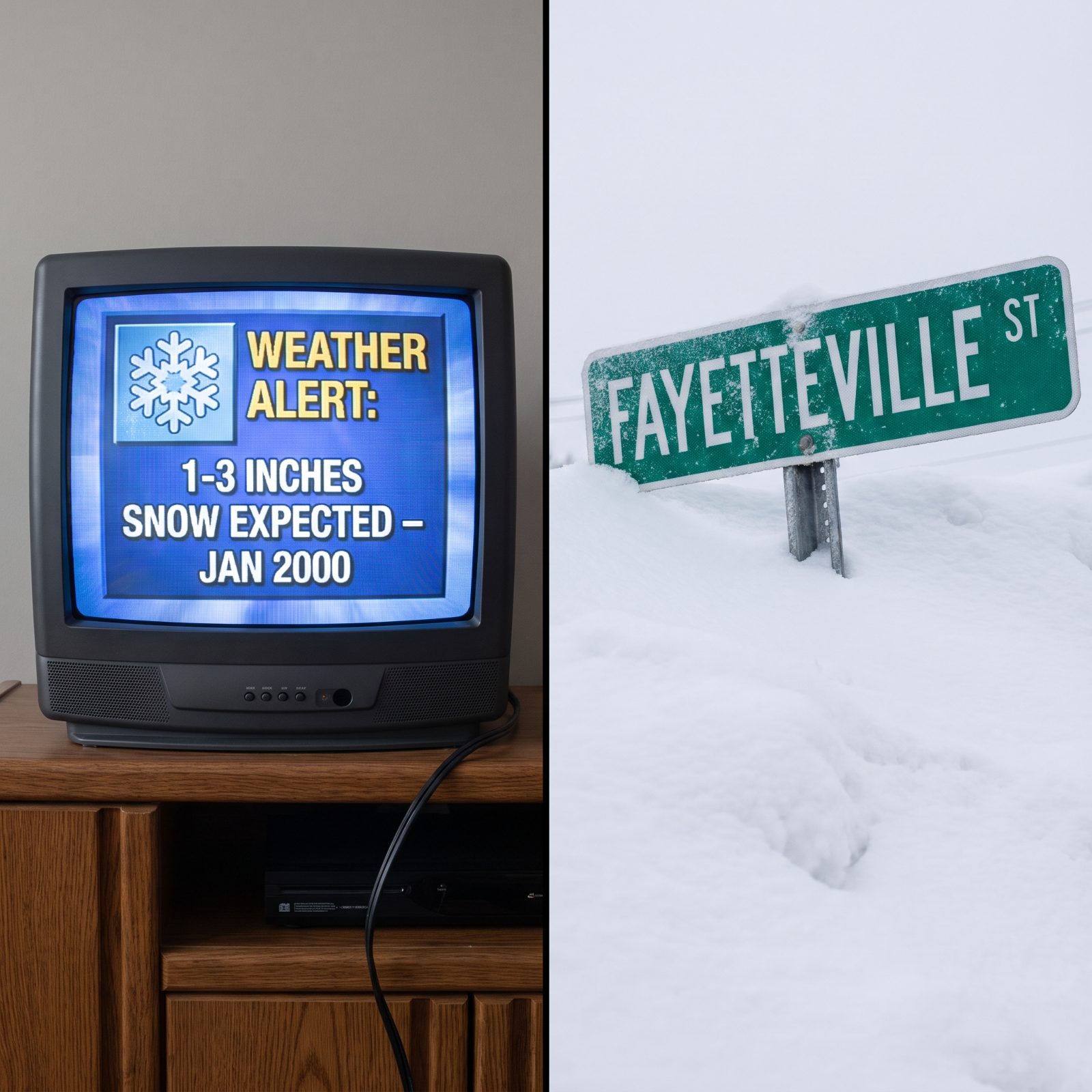
The forecast said one to three inches. Raleigh got 20.3.
On January 25, 2000, RDU recorded 17.9 inches in 24 hours and a storm total of 20.3, both records for the city going back more than 110 years. It broke the old single-storm mark of 17.8 inches that had stood since March 1927. More than a foot fell from Wadesboro to Warrenton, and parts of Wake County ended up under 18 to 24 inches.
Chunks of the Piedmont shut down for almost two weeks. There’s a special kind of chaos that comes from a storm nobody prepped for, and this is the one older Triangle residents still bring up whenever a forecaster sounds a little too confident.
4. The February 2014 Triangle Gridlock
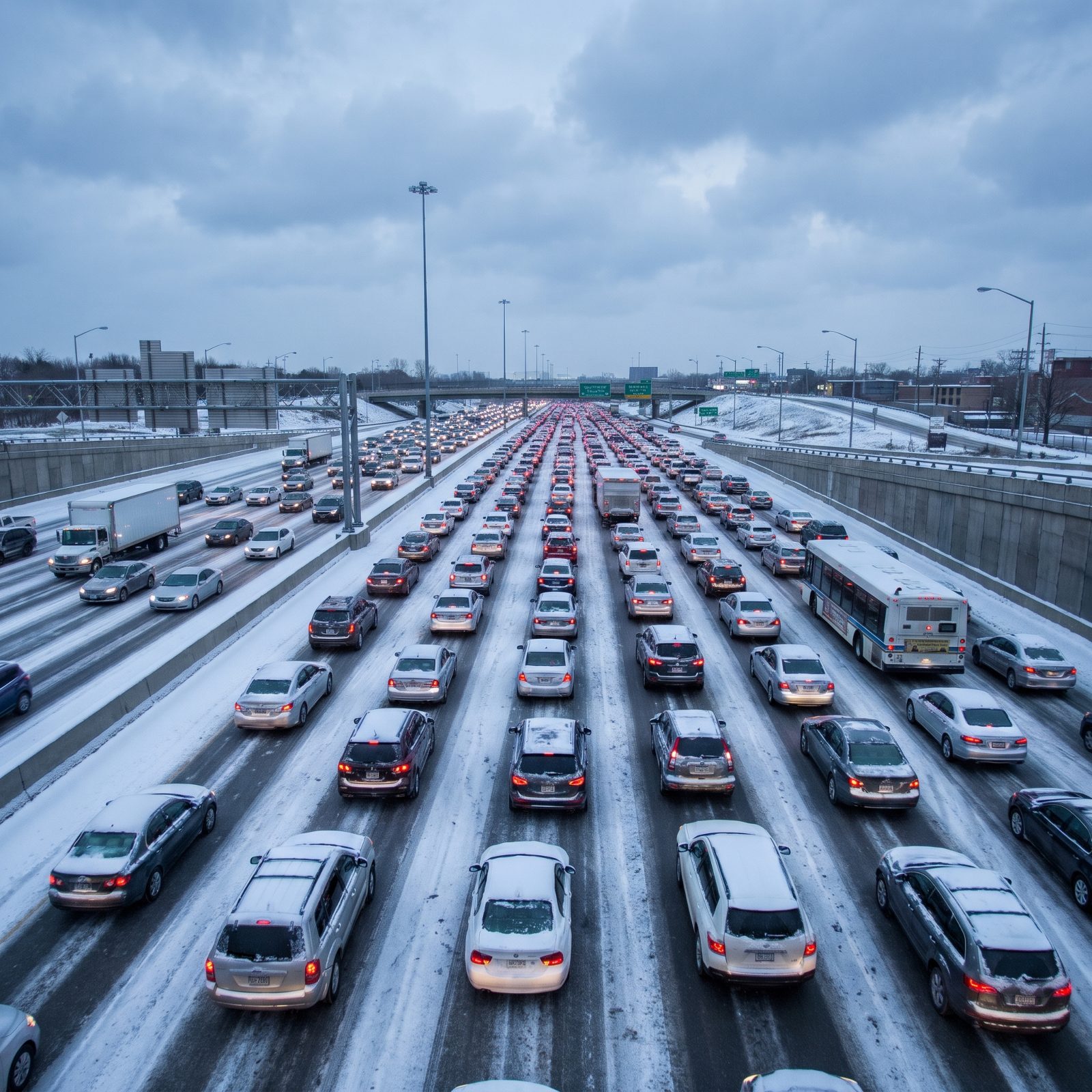
Only 3.3 inches fell at RDU. It brought the Triangle to its knees anyway.
On February 12, 2014, snow started between noon and one on a workday and fell fast. Thirty-minute commutes stretched into hours, people gave up, ditched their cars, and walked. Photos of stranded vehicles lining Glenwood Avenue became viral memes within hours.
Up in Yadkin and Surry counties, totals hit 19 to 20 inches. But the Triangle’s problem was never the amount. It was the timing and the speed. ABC11, citing The News & Observer, reported eight deaths across North Carolina. A “small” snow at the wrong hour can be worse than a big one that gives you warning.
3. The Early-December Snow of 2018
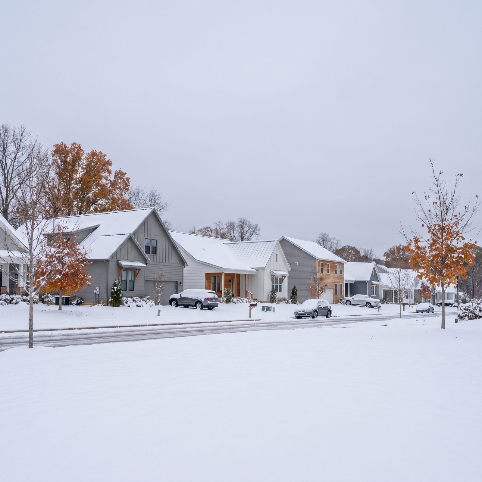
December wasn’t even halfway over when this one landed.
On December 9, 2018, Greensboro picked up 12 inches, its second-snowiest December day on record. Daily snowfall records fell in Raleigh, Charlotte, Greensboro, and Asheville all at once, and Saluda, down in the mountains near Henderson County, topped the charts at 18.5 inches.
This was the heavy, wet kind of snow that loves to pull down tree limbs and power lines. About 200,000 North Carolinians lost power. An early-December storm catches a lot of trees still holding their leaves, which is exactly why the damage ran so deep.
2. The Powdery Coastal Snow of January 2025
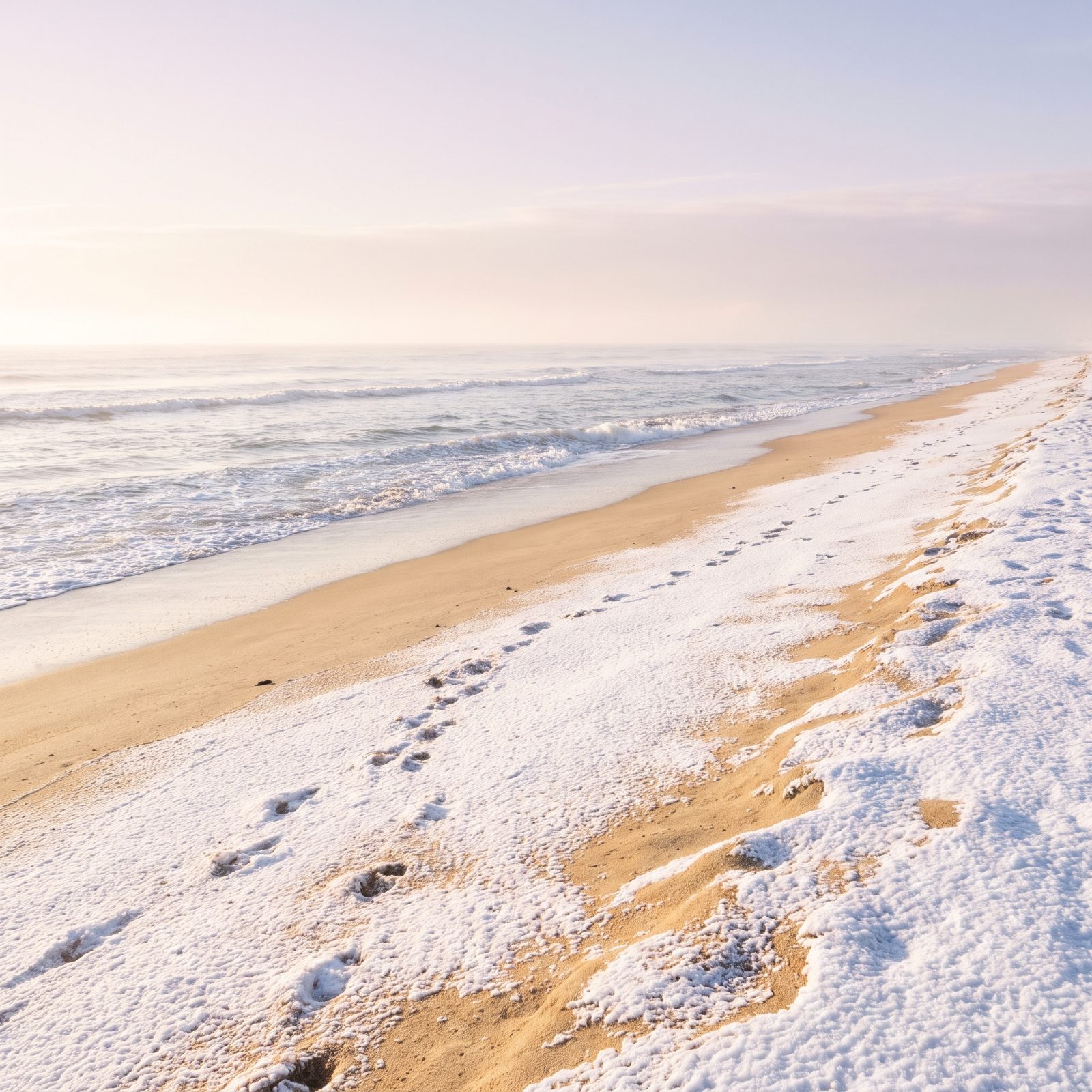
Snow on the beach is a strange and delightful thing. On January 21 and 22, 2025, it stayed cold enough for nearly all powder, with only occasional sleet mixing in right along the coastline.
Dry snow at roughly 20-to-1 ratios piled up fast. Rodanthe hit 8 inches, Ocracoke reported 8.3, and Okisko in Pasquotank County logged 8. For once the coast outdid the rest of the state.
1. The 2026 Bomb Cyclone Snowstorm
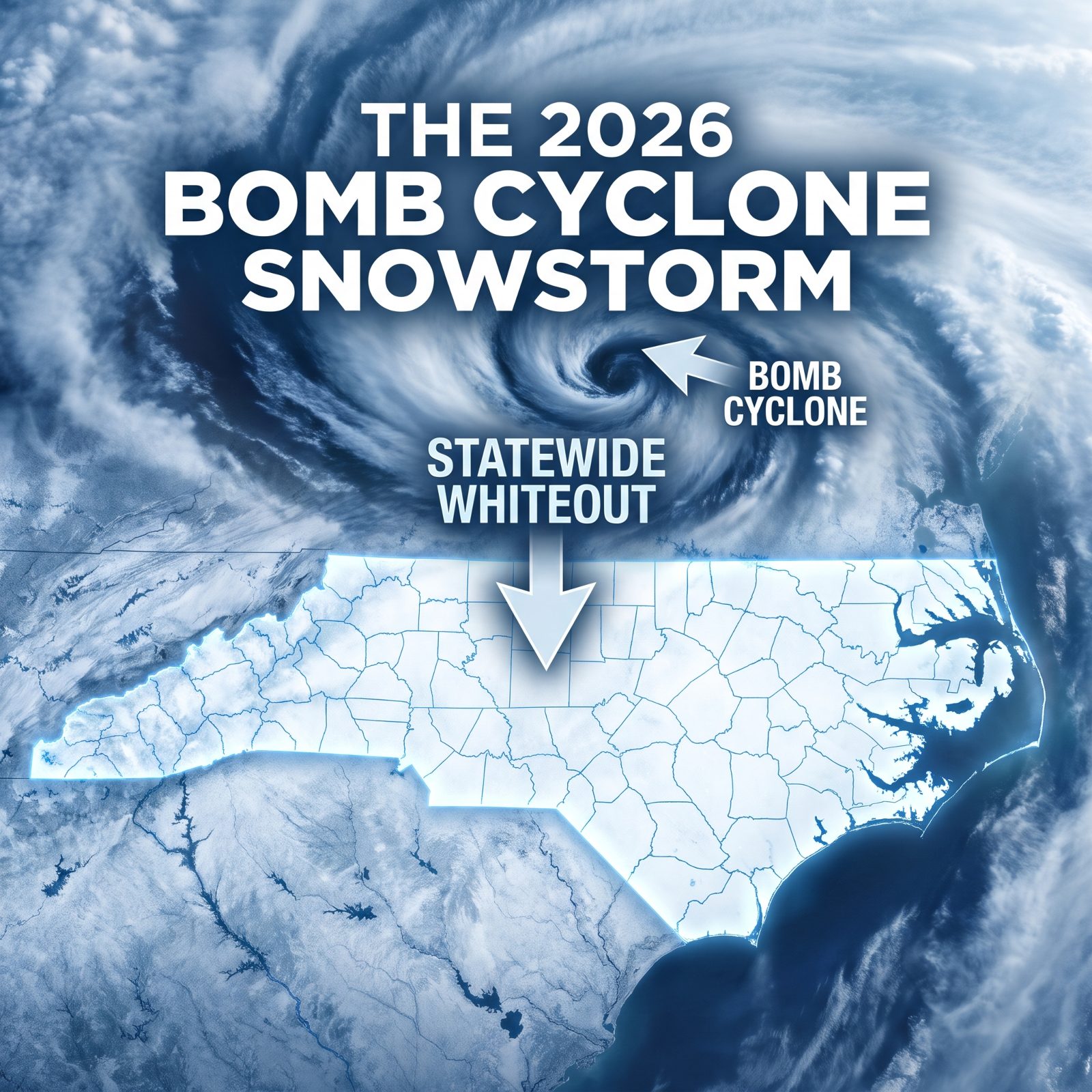
This is the one that made history in a way nobody expected: every single county got measurable snow.
The January 30 to February 2, 2026 nor’easter strengthened fast into a bomb cyclone just north of the state.
Per the State Climate Office, it was the first event with measurable snow in all 100 North Carolina counties. Wikipedia lists the top total at 22.5 inches in Faust and a peak gust of 70 mph at Jennettes Pier, while the NWS office in Newport measured 15 inches.
The roads paid for it. AccuWeather reported a pileup of more than 100 vehicles that shut part of I-85 in Kannapolis. CNN reported over 1,000 collisions statewide, including two deaths. A NOAA-linked story map called it eastern North Carolina’s first 10-plus-inch snow since that white Christmas in 1989.
Thinking about moving here and wondering what winter actually looks like? Honest answer: it depends entirely on where you plant your mailbox. Feet of it in the High Country. A rare but season-defining gut-punch on the coast. And a Piedmont that can swing from three forgettable inches to twenty overnight. Keep a shovel. You won’t need it often. When you do, you’ll really need it.