🔥 Would you like to save this?
Ask anyone who lived through October 15, 1954, and they can still tell you where they stood. Hazel is the ruler North Carolina measures every storm against, the one the state history agency flatly calls the benchmark for a generation. Seventy years later came Helene, tearing apart mountains that figured they sat too high for a hurricane to matter. Between those two, storm after storm rewrote building codes, flood maps, insurance premiums and the height of every new beach cottage. These are the ones that left marks you can still read in the way the state builds today.
11. Hurricane Hazel (1954): The Storm Every Other Storm Is Measured Against
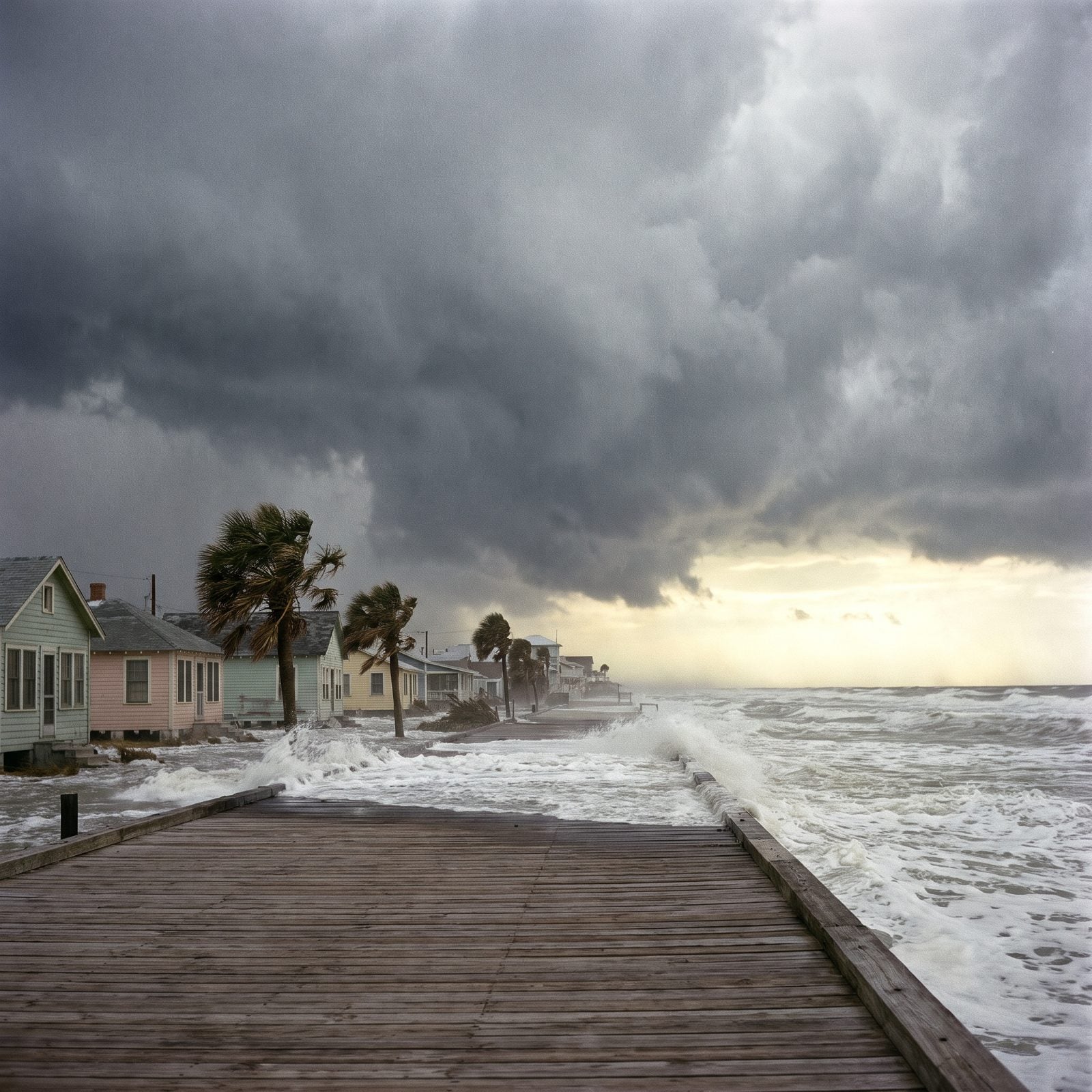
Hazel is the line North Carolina draws between before and after. She came ashore as a Category 4 at Long Beach in southern Brunswick County on October 15, 1954 — winds over 140 miles an hour, a 17-foot surge rolling in on a full-moon high tide that made everything worse.
In order to come up with the very specific design ideas, we create most designs with the assistance of state-of-the-art AI interior design software. Also, assume links that take you off the site are affiliate links such as links to Amazon. this means we may earn a commission if you buy something.
At Long Beach, 352 of 357 buildings were gone. Statewide: 19 dead, 15,000 structures destroyed, about $136 million in damage. Long Beach later merged with Yaupon Beach to become Oak Island. And every raised beach house on the southern coast owes something to what Hazel proved that day.
10. The 1955 Triple Hit: Connie, Diane and Ione in a Single Season
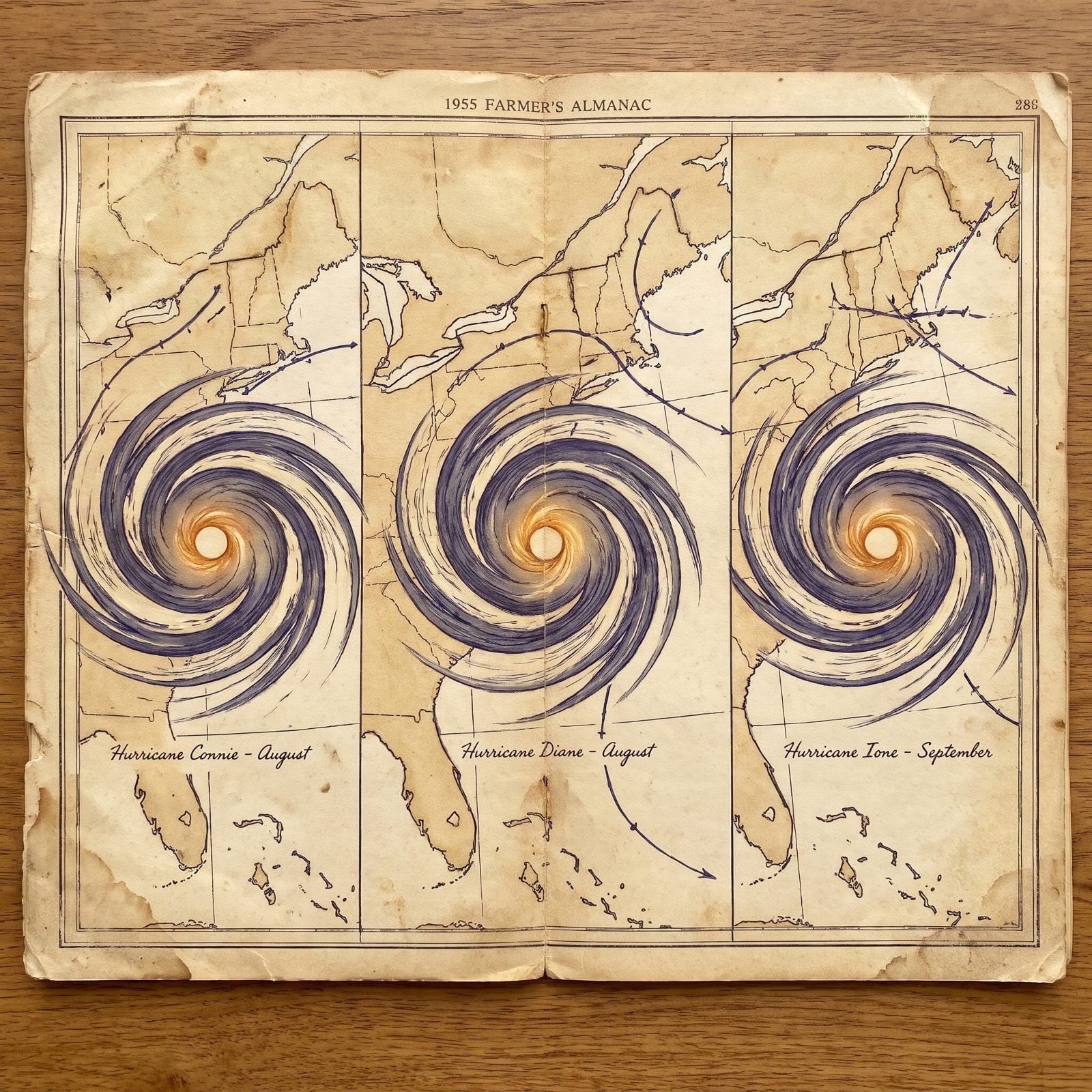
One hurricane is a disaster. Three in a single summer is a pattern nobody wanted to learn.
Connie made a Category 2 landfall near Morehead City on August 12, 1955. Five days later Diane came in near Wilmington as a Category 1, and just over a month after that Ione landed near Morehead City again at almost the exact same strength as Connie. The coast barely had time to dry out between them.
Connie, Diane and Ione were among the very first hurricane names ever retired — a quiet admission that some storms are too costly to say twice.
9. Hurricane Hugo (1989): The Night a Hurricane Reached Charlotte
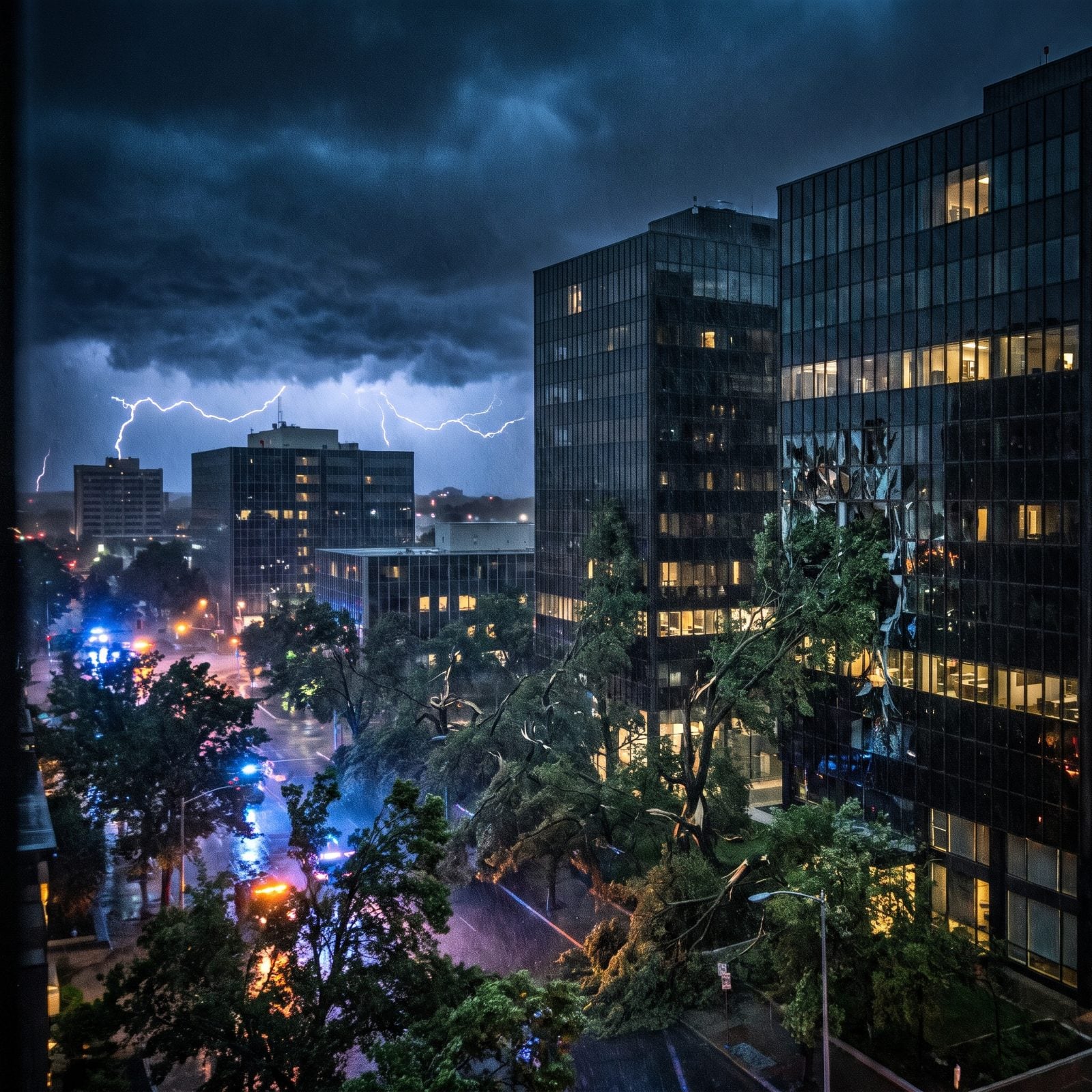
Hurricanes belong to the coast. Charlotte learned otherwise in the early morning hours of September 22, 1989.
Hugo made landfall near Charleston as a Category 4 and was still a Category 1 when it crossed into the Piedmont. Charlotte saw sustained winds of 70 miles an hour, gusts near 100, and the power went out across the city as trees came down and windows blew out. Seven hours after landfall the thing was still throwing hurricane-force winds across the western foothills.
8. Hurricane Fran (1996): When the Triangle Got Hit Like the Coast
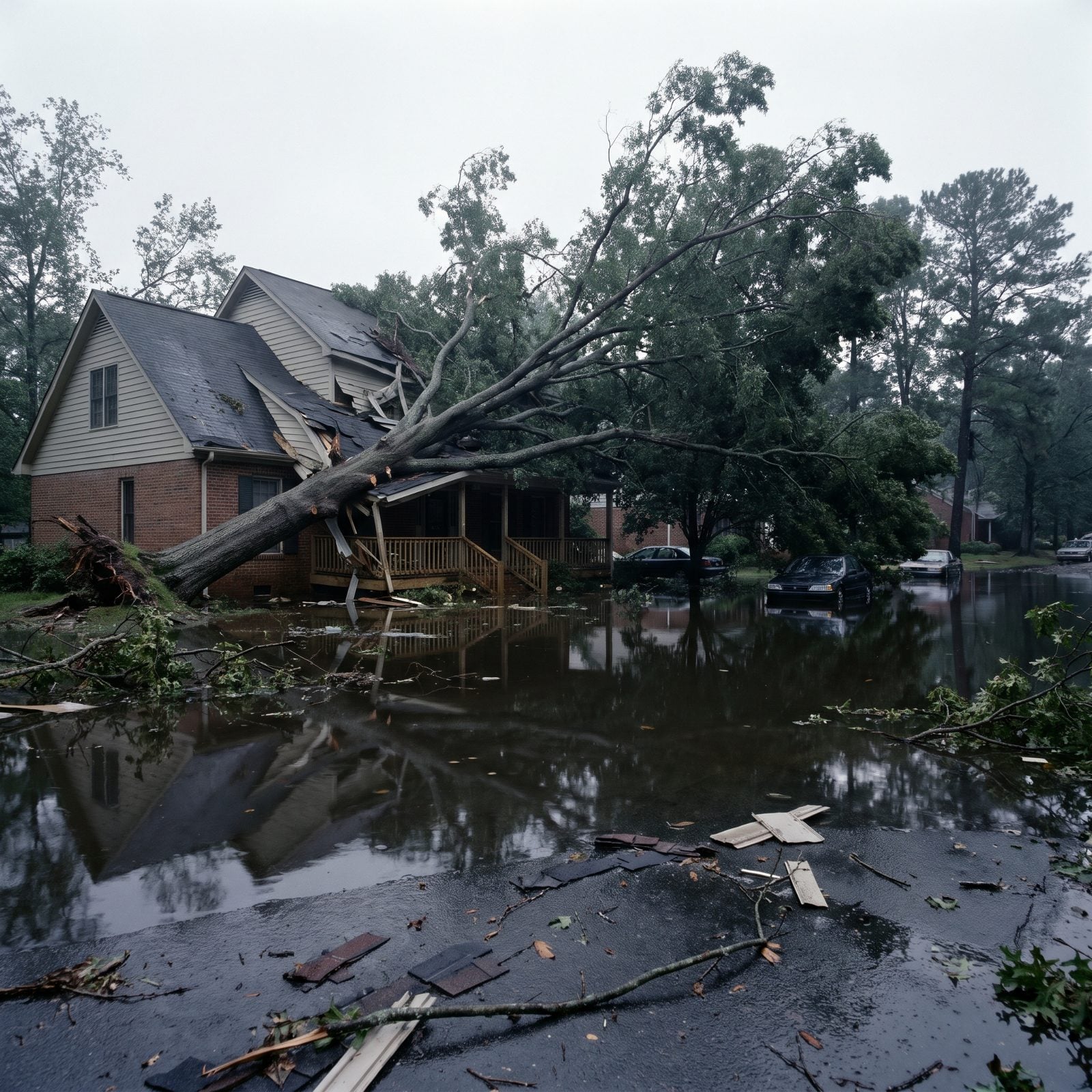
Fran landed on Bald Head Island on September 5, 1996, a Category 3 packing 115 mile-an-hour winds, then refused to weaken on schedule. It tracked north along I-40 through Buies Creek, Raleigh, Durham and Roxboro, dropping full-grown oaks onto houses more than 100 miles from where it came ashore.
At its peak 1.7 million customers lost power and twenty-four people died in the state. The NWS called Fran the worst natural economic disaster in North Carolina history to that point. On Topsail Island it damaged three-quarters of the structures and destroyed 331 homes — all of it less than two months after Hurricane Bertha had already come through. Imagine cleaning up from one storm only to see the next one fill the forecast.
7. Hurricane Floyd (1999): The Flood That Put Princeville Under Water
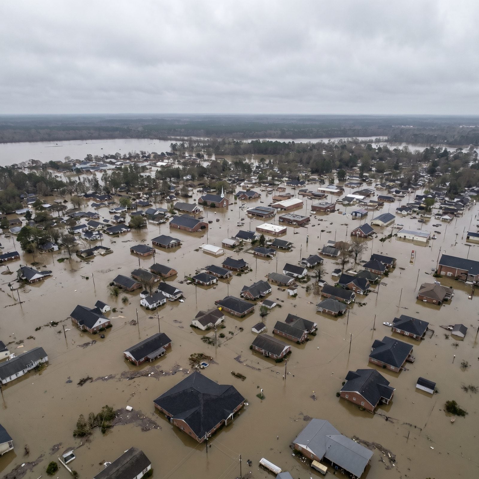
Floyd barely rated as a wind storm. It was the rain that broke eastern North Carolina.
Landing near Cape Fear on September 16, 1999, as a Category 2, Floyd dumped more than 19 inches and pushed the Tar River to 24 feet above flood stage. Thirty-five people died. Around 7,000 homes were destroyed, 17,000 more left uninhabitable, and 56,000 damaged.
Princeville, which calls itself the first U.S. town chartered by Black Americans, sat under water for ten straight days. Floyd is why inland flood maps and flood insurance stopped being an afterthought for towns far from any beach.
6. Hurricane Isabel (2003): The Storm That Cut a New Inlet Through Hatteras
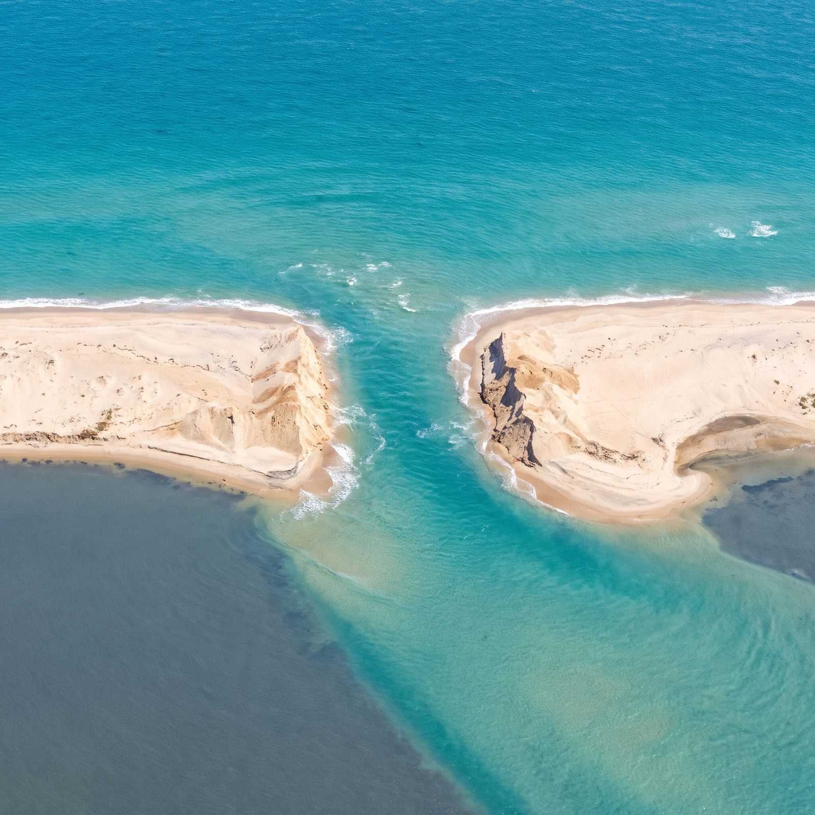
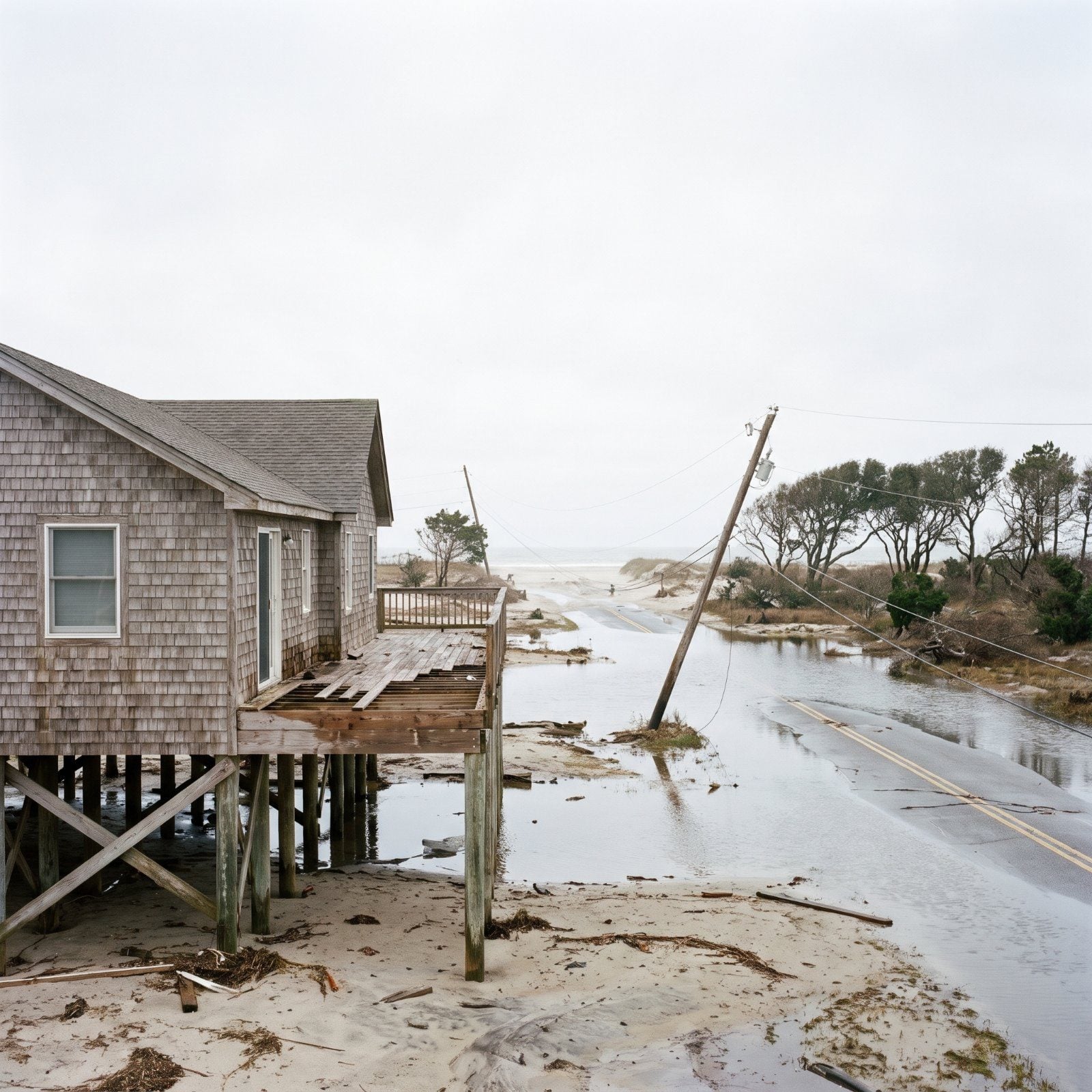
Isabel came ashore near Drum Inlet on the Outer Banks on September 18, 2003, a Category 2 with a surge that did something a road simply can’t survive. It opened a new channel roughly 2,000 feet wide through Hatteras Island between Hatteras village and Frisco, washing out NC Highway 12 along with homes, dunes and utility lines.
Locals called it Isabel Inlet. Hatteras village sat cut off by road for about two months while crews filled the breach with dredged sand. On a barrier island a single highway is the lifeline, and Isabel showed how fast the ocean can take it back.
5. Hurricane Irene (2011): The Breaches That Stranded Hatteras Island
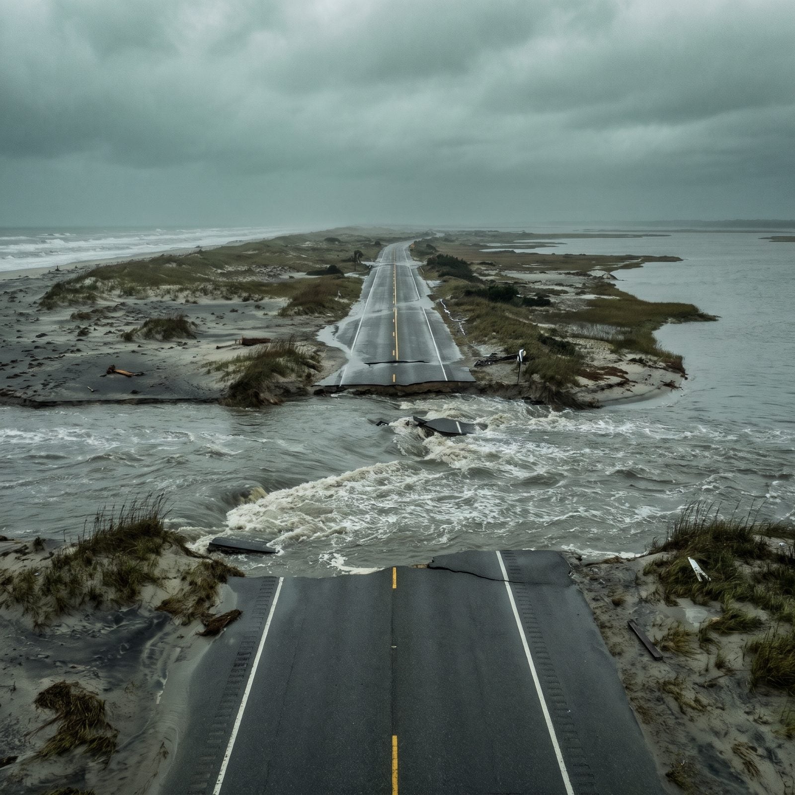
Irene made landfall near Cape Lookout on August 27, 2011, a strong Category 1 that looked survivable until the surge cut several new channels through NC Highway 12 just north of Rodanthe.
That road is the only link between Hatteras Island and the mainland. The breaches left at least 2,500 residents stranded, and the state scrambled to plan a temporary bridge. Five people died in North Carolina. Irene is a big reason the long-debated Rodanthe “Jug Handle” bridge eventually got built — routing traffic over water instead of over sand that keeps washing away.
4. Hurricane Matthew (2016): Inland Towns Underwater Seventy Miles From the Sea
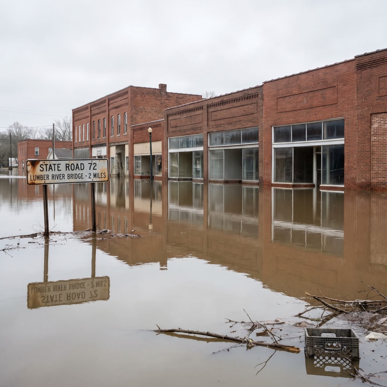
Matthew proved the point Floyd started. The danger wasn’t the coast. It was the water that kept rising days after the storm had already left.
The state attributed 31 North Carolina deaths to Matthew. It closed more than 660 roads, breached 20 dams, cut power to over 815,000 households, and damaged 34,284 homes. Princeville, Kinston, Goldsboro and Fayetteville all took heavy hits.
Lumberton, the Robeson County seat about 70 miles from the coast, was among the worst. Floodwaters sat for days. The repeat flooding there pushed hard conversations about buyouts, levees and whether some neighborhoods can honestly be rebuilt in the same spot at all.
3. Hurricane Florence (2018): A Rainfall Record and $17 Billion in Damage
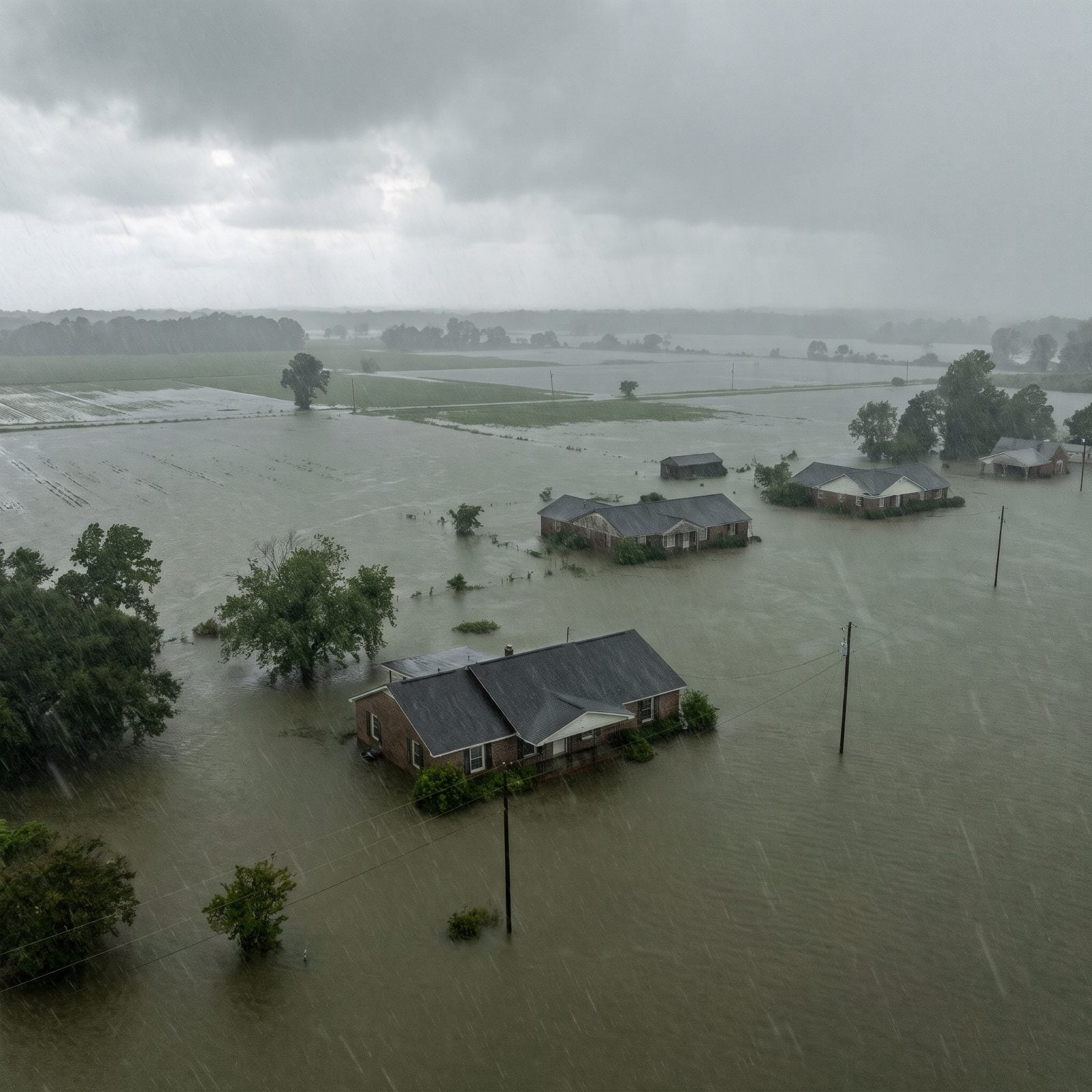
Florence came ashore just south of Wrightsville Beach on September 14, 2018, only a Category 1 at landfall. Then it did the worst possible thing. It stopped moving.
Elizabethtown recorded 35.93 inches of rain, the North Carolina record for a tropical cyclone. The state reported 42 deaths and damage estimates near $17 billion, and nearly 140,000 residents registered for disaster aid.
At the north end of Surf City, some homes filled with four to five feet of sand instead of water, which tells you something about the forces at play. Florence is why “slow-moving” is now the scariest phrase in a North Carolina forecast.
2. Hurricane Dorian (2019): The Surge That Trapped Ocracoke in Its Attics
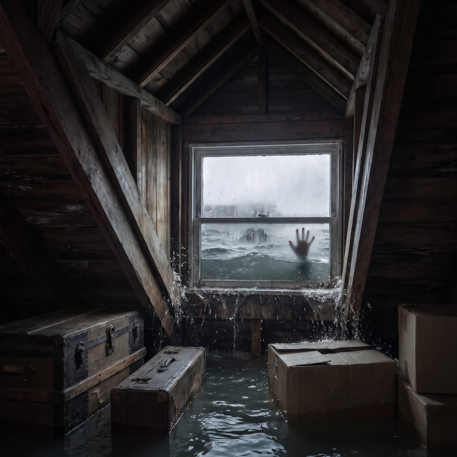
Ocracoke thought it knew what a hurricane felt like. Dorian corrected that in September 2019.
The storm’s surge flooded the Outer Banks and trapped hundreds on the island, water rising so fast that longtime residents — people who’ve weathered decades of storms — had to climb into their attics to escape it. The Coast Guard flew medical staff onto Ocracoke on September 6 to reach people cut off from everything.
Dorian is a warning that experience has limits. A remote island can be buildable, lovable, and still underwater before anyone has time to react.
1. Hurricane Helene (2024): When the Mountains Learned They Weren’t Safe
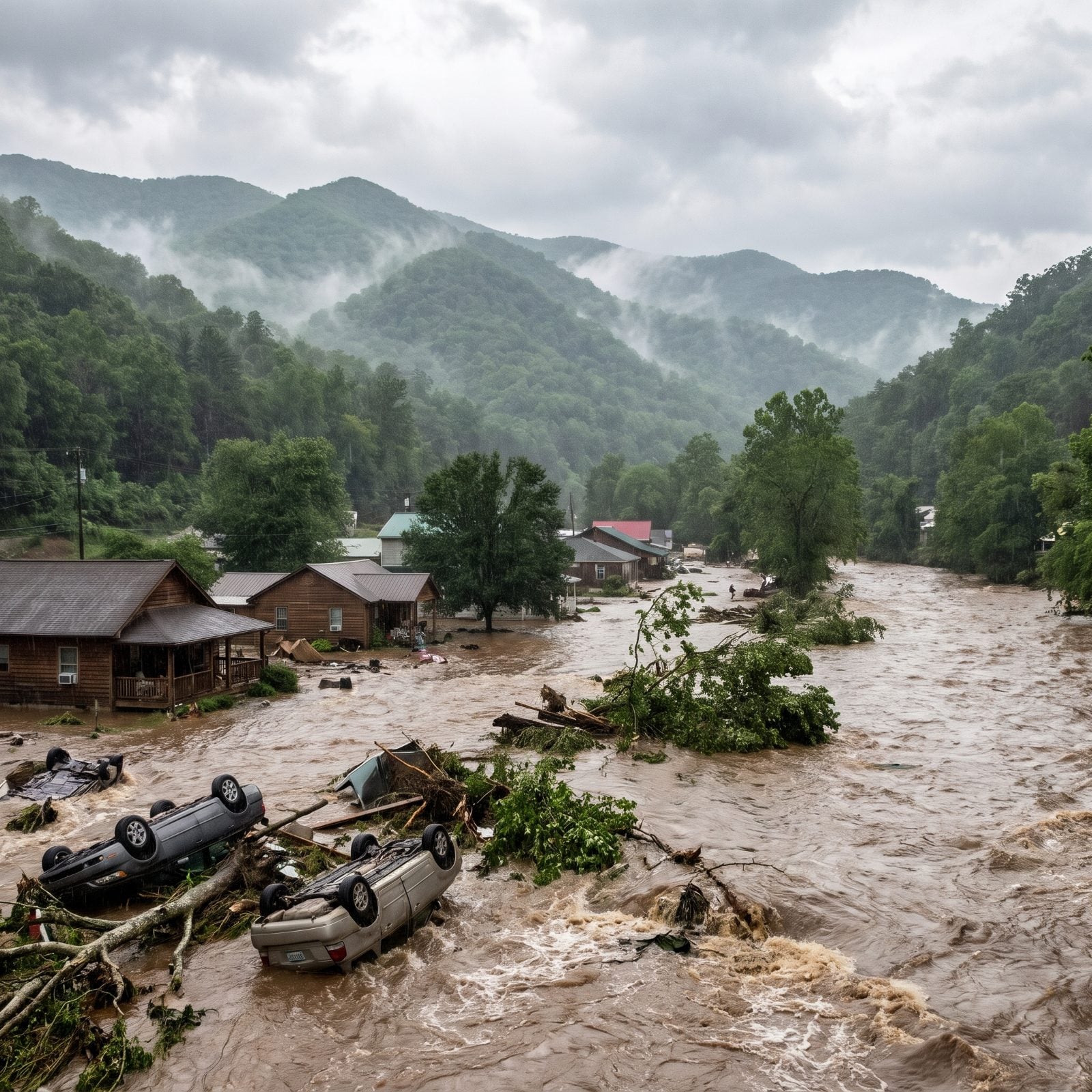
The mountains were supposed to be the safe place. You buy up there and you buy away from the surge, the barrier-island washouts, the coastal insurance headaches. Helene ended that assumption in a single weekend.
On September 27, 2024, the storm dumped record rain on slopes that had nowhere to put it, and the National Hurricane Center logged 30.78 inches at Busick. Water that would spread harmlessly across flat land instead funneled down every valley at once, and then the land itself came loose. Landslides. Chimney Rock and Lake Lure caught some of the worst of it. More than 100 people died across the state.
North Carolina is still working through the building lesson here, and it’s a hard one. Flood maps in the mountains were drawn for a gentler kind of water. Houses sat on riverbanks and floodplains that hadn’t flooded in living memory, so nobody carried flood insurance — why would you? FEMA approved 39 counties for federal aid. But the real question is what you rebuild, and where, when the slope above your foundation is the actual threat. No stilts in the world fix that.