Would you like to save this?
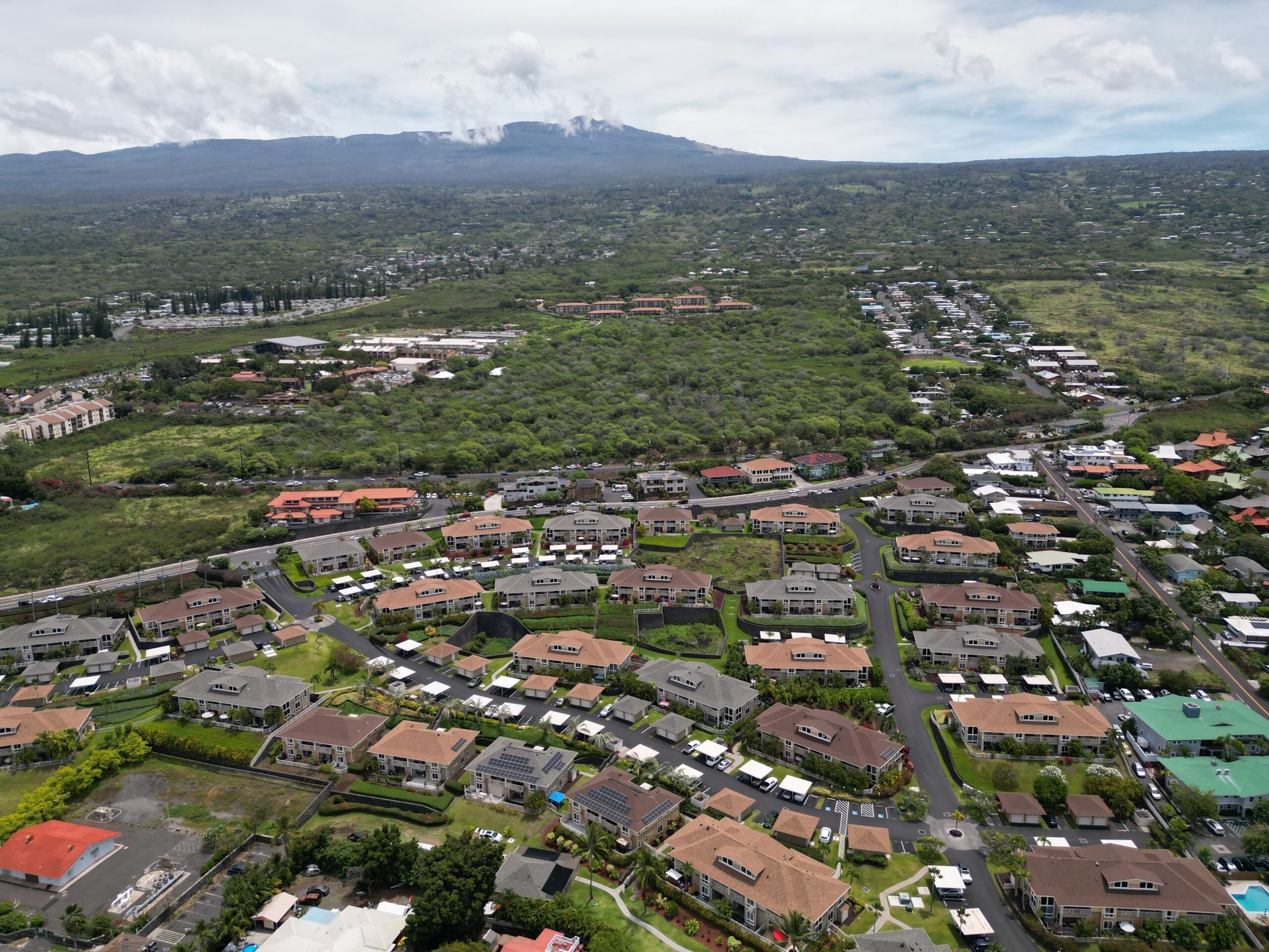
Upcountry Maui stretches across Haleakalā’s mid-slopes, where ranchlands, forests, and fertile fields create pockets of deep quiet far from the island’s resort corridors. Travelers often speed past these areas on the way to the summit, never realizing entire communities are tucked behind eucalyptus breaks and rolling pasture.
Those who live here enjoy crisp evenings, star-filled skies, and the rare chance to hear nēnē calls rather than highway noise. We explore ten of these hideaways, counting down from the broad ranch spreads of Ulupalakua to the waterfall-laced hillsides above Haʻikū.
Each neighborhood brings its own blend of scenery, history, and farm culture, yet all share one thing—a sense of seclusion that feels miles beyond the ordinary Maui experience. Hidden farm stands, unmapped trails, and sweeping ocean views await anyone curious enough to wander the up-country back roads.
10. Ulupalakua Ranch Estates
Ulupalakua Ranch Estates sits within a 20,000-acre working cattle spread, where multi-acre homesteads branch off gated red-dirt drives and overlook both the Pacific and ʻAlenuihāhā Channel.
Residents sip estate-grown wine at MauiWine’s tasting lanai, ride horses beneath ancient jacarandas, or picnic under the monkeypod at the storied Ulupalakua Ranch Store.
Weekends bring skeet shoots and paniolo ropings, yet weekday traffic is almost nonexistent thanks to the neighborhood’s location more than 20 miles and 3,000 vertical feet above Kahului. Sunsets blaze over Kahoʻolawe while morning trade winds keep temperatures refreshingly cool.
We estimate roughly 80 full-time residents call this enclave home, most spread across ten- to fifty-acre parcels that ensure the ranch country ethos remains intact.
Where is Ulupalakua Ranch Estates?
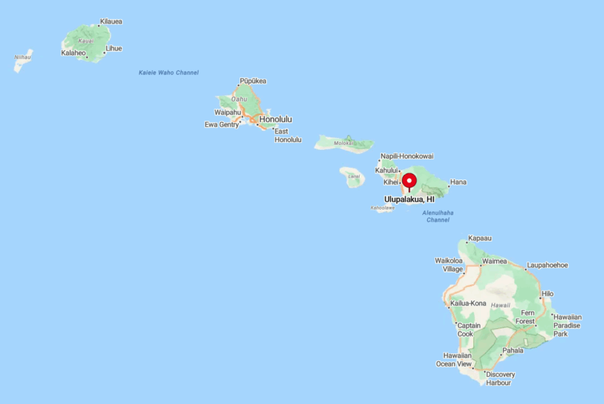
The estates unfurl along Highway 37 between mile markers 20 and 22 on the southwest shoulder of Haleakalā. Sloping terrain offers rare bicoastal vistas, and the surrounding pastures keep neighboring lights invisible at night.
Access involves a winding ascent from Kahului through Kula, a 45-minute drive that sheds traffic with each switchback. Those arriving after dark rely on the glow of the ranch store’s porch lantern as the lone beacon in an otherwise wide-open sky.
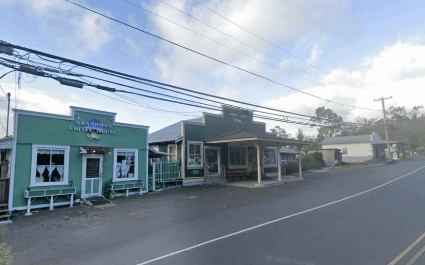
9. Keokea Highlands
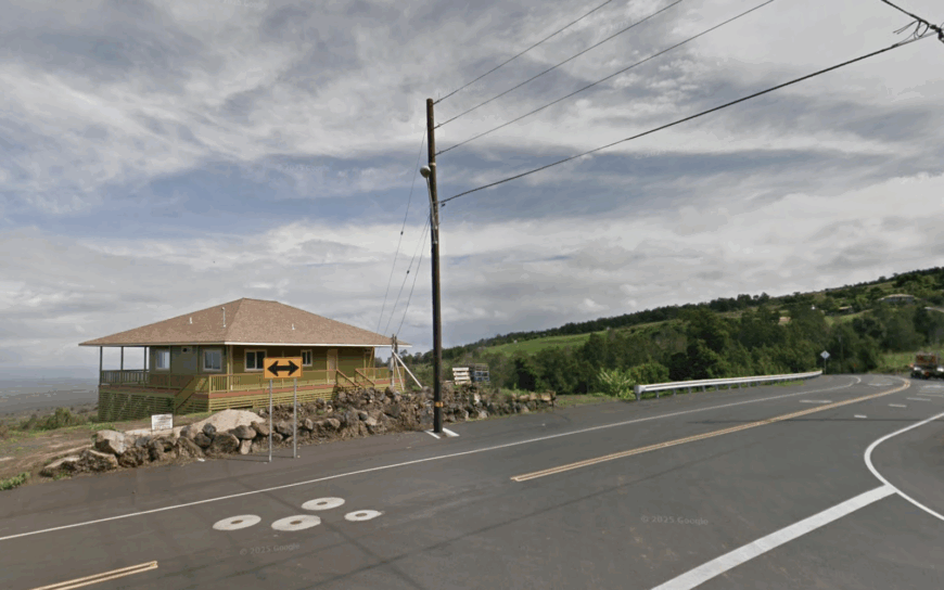
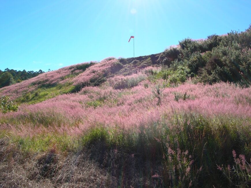
Perched at 3,000 feet, Keokea Highlands feels like a small English hamlet transplanted to Maui, where stone walls and eucalyptus lanes frame one-acre farm lots. Weekend mornings, residents gather at Grandma’s Coffee House for taro pancakes before strolling the art coop or the Sun Yat-Sen Memorial Garden.
The climate supports tender greens and peach orchards, fueling a quiet farm-to-table scene that sidesteps the island’s resort bustle. Hikers wander the nearby Kahikinui Forest Access Trail, and photographers chase the “Keokea light,” a soft golden glow unique to this elevation.
The village hosts around 200 residents, many with multigenerational ties to ranching and Chinese farming heritage. We find the mix of history, cool air, and walkable back roads gives Keokea a charm that feels worlds away from the coastal strip.
Where is Keokea?
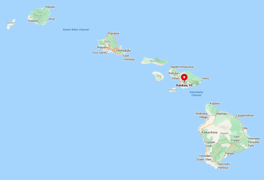
Keokea clusters along Kula Highway just past mile marker 17, about 35 minutes from Kahului. Terraced hills roll toward the dormant cinder cones below Haleakalā’s summit, creating pockets of mist that drift through the gulches each afternoon.
Access is straightforward by car, yet limited public transit and few through roads keep the area calm. Visitors often miss the turnoff to Thompson Road, leaving the heart of the highlands to locals in the know.
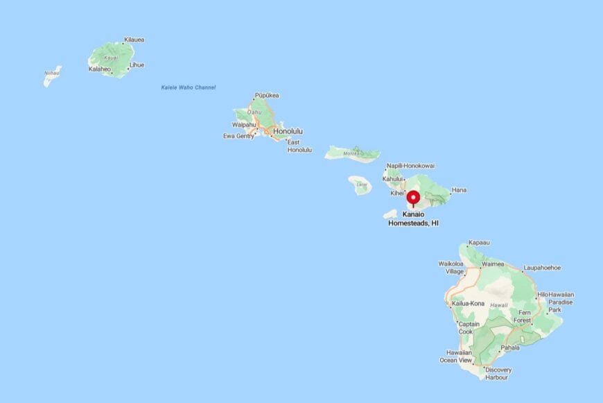
8. Kanaio Homesteads
Kanaio Homesteads spreads across a windswept lava shelf south of Ulupalakua, where off-grid cottages power themselves with solar arrays and five-acre parcels descend toward a rugged basalt coast. Residents hike goat tracks to hidden tide pools or launch kayaks from a rare pocket beach at Huakini Bay.
Nights bring a planetarium-like canopy, undimmed by streetlamps that simply don’t exist here. Daytime errands require a 40-minute drive, so neighbors share tools, generators, and fresh-caught fish in a friendly barter system.
The community numbers roughly 60 year-round inhabitants, each embracing the trade-wind solitude. We find the absence of pavement and the chorus of migrating humpbacks make Kanaio feel more like a frontier outpost than a modern subdivision.
Where are Kanaio Homesteads?
Would you like to save this?
Located beyond mile marker 29 on Piʻilani Highway, Kanaio begins where the asphalt narrows to a single-lane country road. The route hugs sea cliffs with hairpin turns, which naturally discourages casual day-trippers.
Four-wheel drive is wise after heavy rain, yet the reward is an untouched coastline framed by the distant peaks of Hawaiʻi Island. Those needing supplies head north to Kula via Highway 37, a journey that underscores just how remote Kanaio truly is.
7. Olinda Forest Enclave
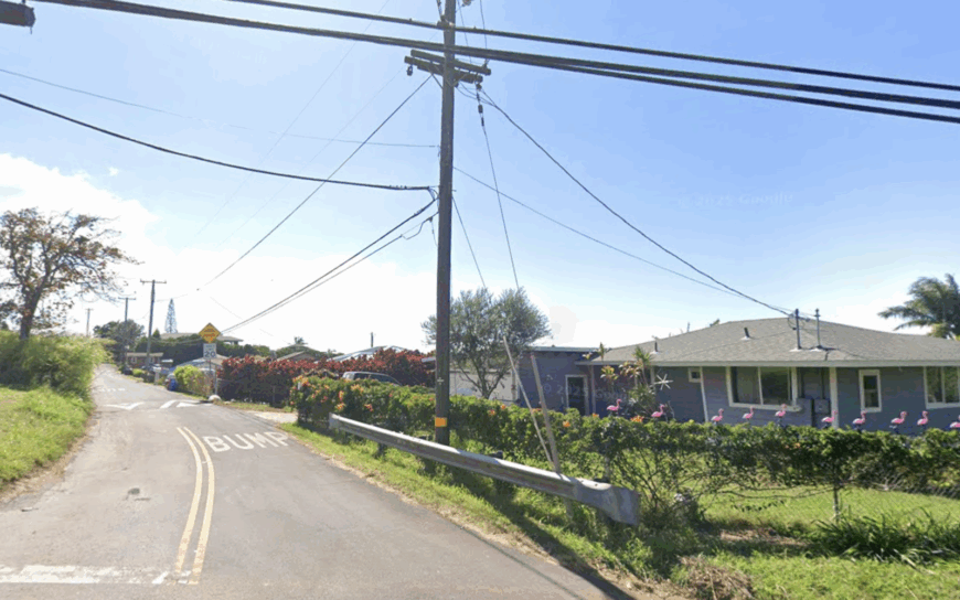
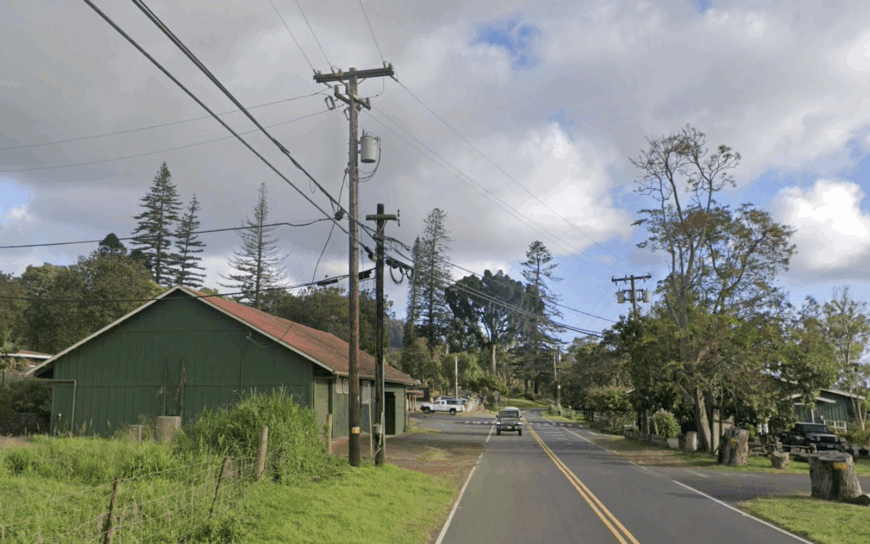
Just above Makawao, the Olinda Forest Enclave nestles among towering pines and fog-kissed eucalyptus, where homes hide along Piʻiholo Road behind mossy rock walls. Residents ride mountain bikes through the Makawao Forest Reserve, then warm up beside wood-burning stoves as afternoon mist rolls in.
Birders seek out the ʻiʻiwi and ʻapapane flitting through ohia blossoms, while children explore fern-lined gulches that double as impromptu playgrounds. Horses outnumber cars on many afternoons, lending a storybook feel to the upland lanes.
With roughly 350 people scattered across generous tree-lined lots, the enclave keeps its rural soul intact. We think the scent of wet cedar alone is enough to convince visitors they’ve stepped into another island entirely.
Where is Olinda?
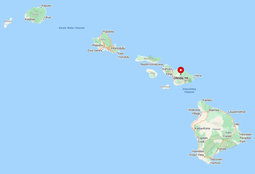
Olinda begins one mile north of Makawao town, stretching along Piʻiholo Road up to the 4,000-foot contour. The climb delivers sweeping views of the central valley, then slips into a cloud forest that muffles everyday noise.
Access from Kahului takes 25 minutes via Makawao Avenue, yet tourist traffic rarely continues past the rodeo arena. A single convenience store at the road’s start serves as the boundary between busy and blissfully silent.
6. PoliPoli Meadows
PoliPoli Meadows crowns Haleakalā’s southwest flank at nearly 6,000 feet, where open pasture meets high-altitude koa groves and stars seem close enough to touch. Only a handful of ranch lots share this sky-high silence, and nighttime temperatures can dip into the 40s—a novelty on Maui.
Residents spend weekends foraging for endemic berries, paragliding from launch sites just upslope, or camping at the adjacent PoliPoli Spring State Recreation Area. The long switchbacks of Waipoli Road, punctuated by wild pheasants, make every grocery run feel like a scenic tour.
Fewer than 40 hardy souls live here full-time, trading convenience for sweeping horizons and silence broken only by wind in the grass. We see it as Maui’s version of alpine living, complete with wood-burning saunas and snow flurries once every decade.
Where is PoliPoli?
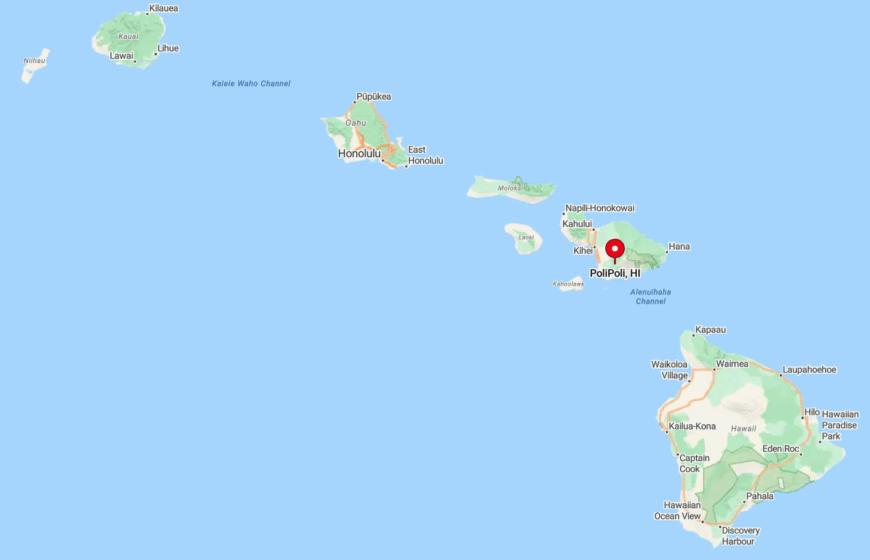
Reachable by taking Lower Kula Road to Waipoli Road and following 10 miles of hairpin turns, PoliPoli’s elevation is the highest of any neighborhood on our list. The location straddles the tree line, granting simultaneous views of Mauna Kea and the West Maui Mountains on clear mornings.
A sturdy vehicle is recommended, as pavement gives way to graded cinder in the final stretch. The remoteness keeps visitor counts low, leaving trails and meadows to the resident few.
5. Kaupo Gap Ranchlands
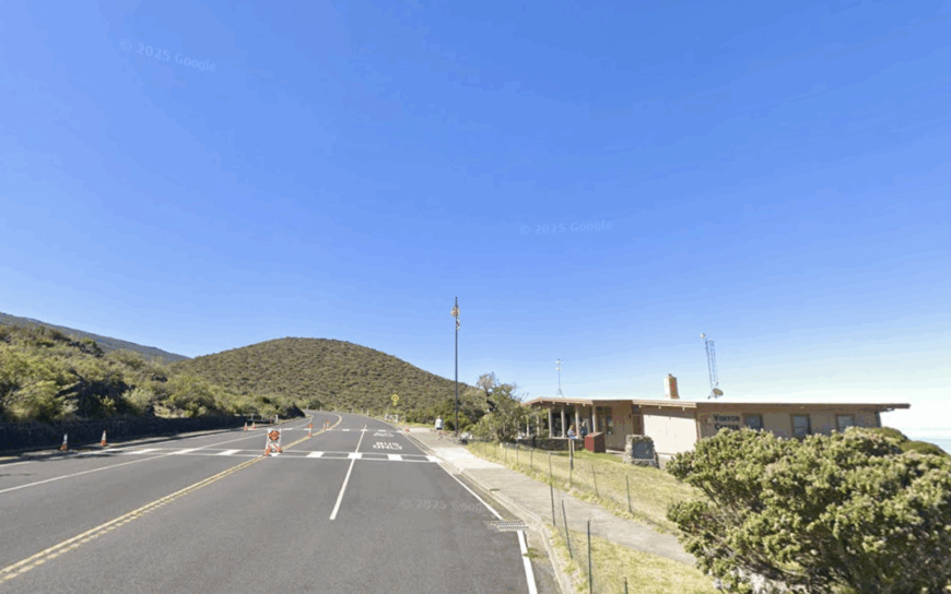
Kaupo Gap Ranchlands sprawl across Haleakalā’s southeastern slope, where sprawling cattle spreads meet the vast Pacific and trade winds whistle through kiawe groves. Days begin with sunrise over Hawaiʻi Island, followed by horseback rounds across terrain that still bears ancient Hawaiian walls.
The historic Kaupo Store supplies staples and local gossip, while adventurous hikers descend the Kaupo Trail from Haleakalā Crater right into the pastures. Rainwater catchment and satellite internet underline just how off-grid life remains here.
Roughly 90 residents maintain the ranching tradition, often going a week without seeing an unfamiliar face. We find the mix of raw coastline and volcanic cliffside makes Kaupo feel more like the edge of the earth than a neighborhood on Maui.
Where is Kaupo?
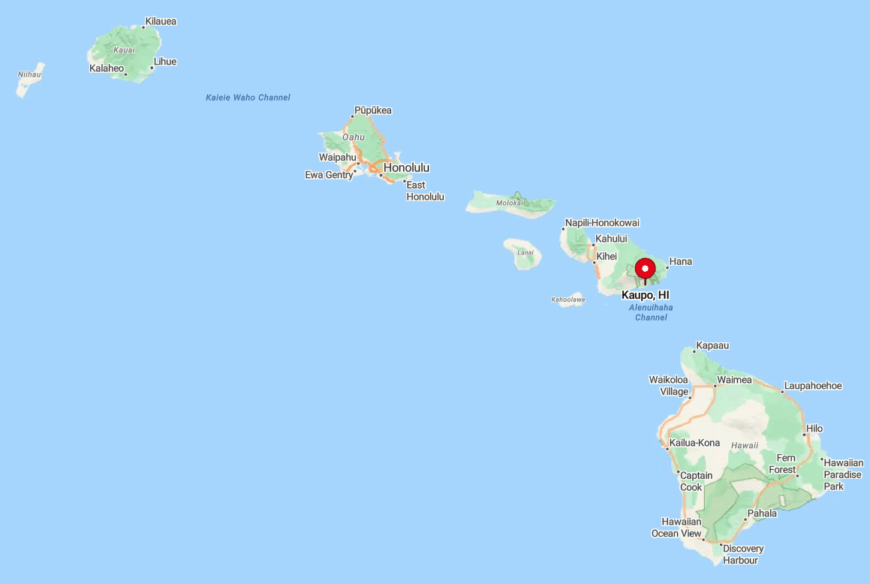
Accessible via the narrow Piʻilani Highway, Kaupo lies halfway through the “Back Road to Hāna,” beyond most rental-car agreements. Sheer drop-offs and one-lane bridges slow travel, naturally filtering out casual sightseers.
The community occupies the lowland gap carved by prehistoric lava flows, a geographic funnel that concentrates both wind and weather. Residents rely on Makawao, nearly 90 minutes away, for major supplies, underscoring their self-sufficient lifestyle.
4. Piʻiholo Hilltop Retreats

Higher reaches of Piʻiholo Road host hilltop estates circled by tall Cook pines and open horse paddocks, where morning clouds part to reveal Molokaʻi on the horizon. Residents ride to Makawao town’s bakeries via forest trails, bypassing pavement altogether.
Afternoon breezes flow straight from the crater, keeping temperatures mild even in summer. The absence of commercial buildings means nighttime light pollution is nearly zero, making the Milky Way a routine sight.
With about 120 neighbors scattered over several square miles, privacy remains the rule rather than the exception. We cherish the blend of equestrian culture and upland solitude found on these ridges.
Where is Piʻiholo?
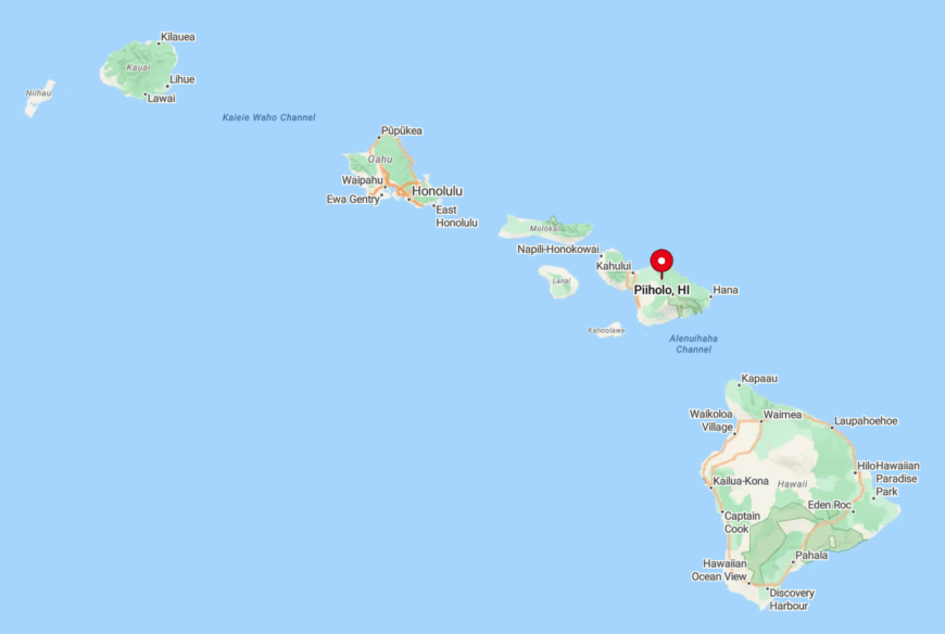
The retreats stretch from mile markers 2 to 5 on Piʻiholo Road above Makawao, topping out near 4,200 feet. Switchbacks climb quickly, offering pullover spots that locals guard as sunset secrets.
Access from Kahului takes just 30 minutes, yet the final half-mile of winding asphalt discourages through traffic. Power lines dip underground in sections, preserving the unobstructed skyline that defines the area.
3. Thompson Road Pastures

Thompson Road Pastures forms a quiet ribbon of asphalt in lower Kula, bordered by historic lava-rock walls and wide cattle fields dating back to the Kingdom era.
Walkers greet each other beneath jacaranda blooms, while photographers set up tripods for the legendary Haleakalā-and-sunset combo that unfolds every clear evening. Nearby St. John’s Episcopal Church rings a century-old bell that can be heard across the entire pasture.
Occasional tour vans pause for Oprah Winfrey’s ranch gate, but otherwise the lane belongs to cyclists and grazing cows. Fewer than 70 residents occupy the surrounding acreage, maintaining a neighborly wave tradition. We credit the preserved stone walls and open vistas for the road’s timeless atmosphere.
Where are Thompson Road?
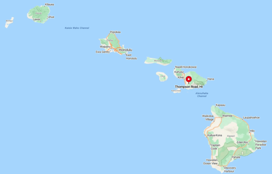
Thompson Road veers off Lower Kula Road just past Keokea, descending gently for two miles before ending at a locked ranch gate. The corridor sits around 3,200 feet, offering unobstructed views across Maui’s isthmus to the West Maui Mountains.
Drivers reach it in 40 minutes from Kahului via Highway 37, though many locals arrive by bicycle to savor the downhill glide. With no through exit, traffic is limited to residents and the occasional lost tourist, ensuring peace prevails.
2. Pūlehu Nui Agricultural Lots

Pūlehu Nui hides in a broad interior valley south of Pukalani, where gulches and ridgelines shield 10-acre parcels from nearly every outside view. Farmers raise grass-fed cattle alongside rows of dry-farmed sweet potato, while feral deer graze undisturbed at dusk.
The absence of streetlights turns each night into a stargazing event, and kids often collect meteor sightings as bragging rights. With no commercial development, silence is broken only by distant roosters or the rare dirt bike.
Roughly 110 residents manage this land, most sharing irrigation water from century-old ranch ditches. We find the balance of fertile soil and deep privacy irresistible for anyone longing to “disappear” without leaving the island.
Where are Pūlehu Nui?
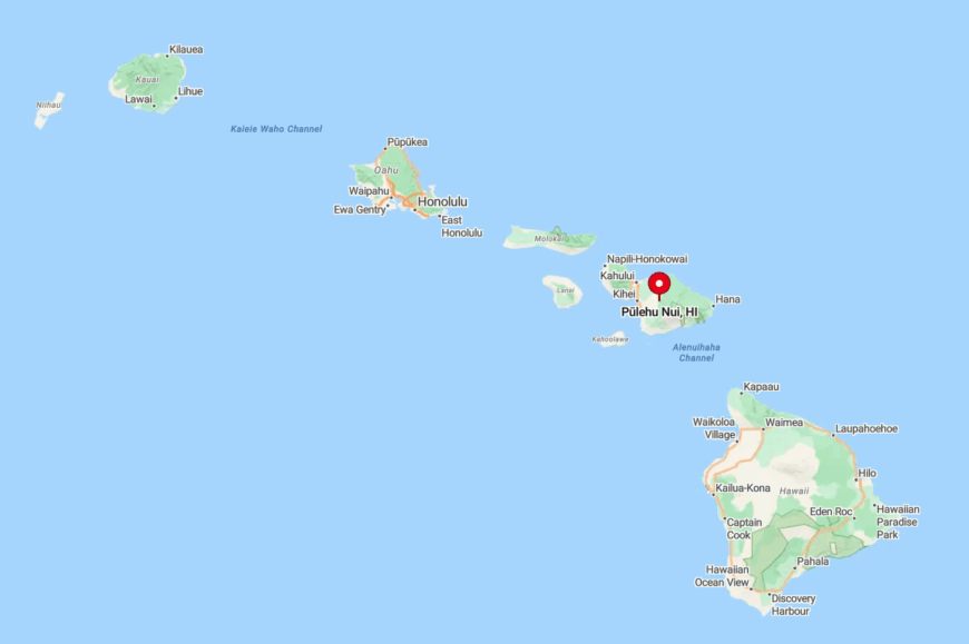
The valley runs along Pūlehu Road between mile markers 6 and 10, south of the Kula Highway junction. Rolling hills block coastal views yet provide a natural sound barrier that muffles the outside world.
Kahului is 20 minutes downhill, but the twisting access deters random visitors. Cell service can fade within gulches, adding another layer to Pūlehu Nui’s stealthy character.
1. Kula 200 Estate Parcels

Would you like to save this?
Kula 200 is a low-density agricultural subdivision where two-acre minimum lots host ranch-style homes framed by rock walls and mature jacaranda. Residents share a private walking loop, perfect for sunset dog strolls that reveal both north and south shorelines at once.
A strict no-through-traffic layout keeps streets calm enough for children’s bike races and evening yoga sessions on grassy front lawns. The neighborhood organizes quarterly potlucks at the community corral, often featuring produce and honey harvested within the gates.
About 230 people reside here, enjoying cooler temperatures and quick access to both Pukalani and Kula amenities. We appreciate how Kula 200 balances elbow room with a friendly, connected spirit.
Where is Kula 200?

Located mauka of Pukalani Golf Course off Old Haleakalā Highway, Kula 200 sits roughly 15 minutes from Kahului airport. The subdivision spans a gentle knoll, granting consistent trade wind flow that keeps evenings crisp.
Entry points are limited to two gated roads, discouraging commuter shortcuts. Residents often bike the back route into Makawao, avoiding Highway 37 entirely.