Northwest Maine is a patchwork of mountains, deep forests, and long quiet lakes that rarely surface in travel brochures. Unorganized territories and small plantations hide behind ridgelines where cell towers never took root and only the occasional logging truck disturbs the hush.
We gathered ten of the most secluded spots in this corner of the state, places where resident counts rival classroom sizes and the night sky still rules the schedule.
Some people dream of paddling from their porch while others want to watch snow dust untouched summits; these towns prove remote living has many flavors. Pack a reliable map and a respect for long stretches without services, because the following countdown heads straight into Maine’s quietest backroads.
25. Davis Township: A Valley With More Moose Than People
Would you like to save this?
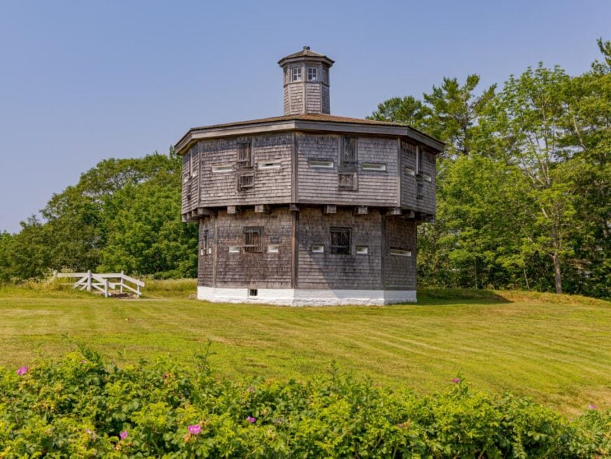
Davis Township, Maine, feels worlds away, tucked into the state’s northern wilderness where dense forests and winding rivers keep it sheltered from busy roads. With no large towns nearby, only logging trails and backroads cut through the stillness, giving the area a remote and untouched atmosphere.
The air is crisp with the scent of pine, and nights fall into deep silence broken only by loons calling across hidden ponds. Visitors can paddle along quiet waterways, hike forest paths that weave between spruce and fir, or spot moose grazing near the edges of clearings.
Logging has long anchored the region, though today it is just as much a retreat for those seeking solitude and raw Maine landscape. It’s the kind of place that makes you feel the world has paused, offering a rare taste of quiet that lingers long after you leave.
Where is Davis Township?
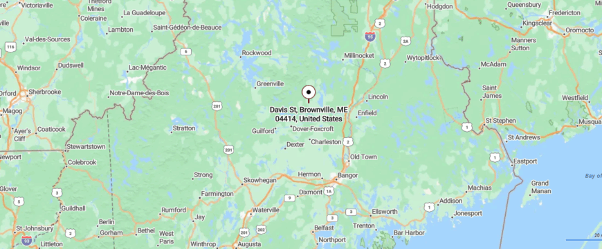
Davis Township lies in the remote western mountains of Maine, not far from the Canadian border. It sits about 30 miles northwest of Rangeley, reached by following Route 16 before turning onto unpaved forest roads.
The journey winds through thick woods and rolling highlands, with few signs of settlement along the way. It’s a place where distance and silence wrap around you, leaving the sense that the world has slipped far behind.
24. Moose River Township: Where Water Outnumbers Roads
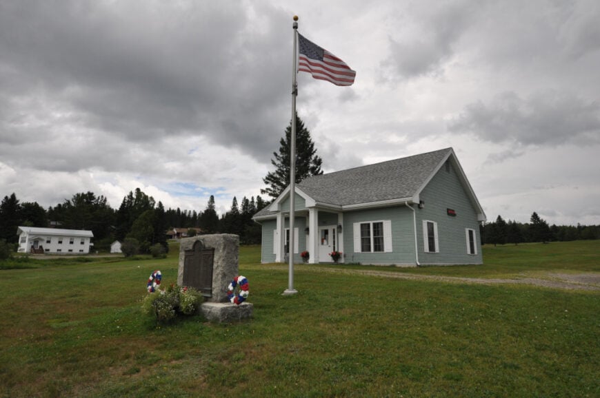
Moose River Township stretches through a wilderness of lakes and waterways, where the river itself threads quietly between dense stands of spruce and cedar. There is no real town center here, only cabins, logging roads, and the sweep of water that has always been the heart of the place.
Canoeists drift along still stretches, anglers cast for trout in hidden pools, and in autumn the call of loons mixes with the blaze of turning maples. Winters are harsher—snowshoe trails cut across frozen ponds, and the silence deepens until only the crack of ice breaks it.
Timber once drove the township’s livelihood, but now it feels more like a corridor of wild country than a settlement. It’s the kind of place where the river sets the rhythm, carrying a quiet that stays with you long after you’ve gone.
Where is Moose River Township?
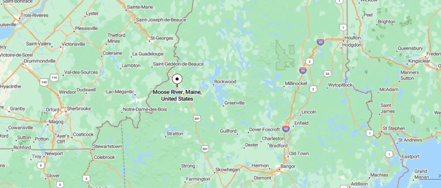
Moose River Township lies in Somerset County, Maine, where the Moose River winds through forested valleys and quiet lowlands. Located just west of Jackman, it is reached along U.S. Route 201, a scenic byway that follows the river north toward the Canadian border.
The area is rich in outdoor opportunities, from paddling the river’s calm stretches to hiking trails that cut through the surrounding woods. With its remote setting and steady flow of water, Moose River Township feels like a place where the wilderness sets the pace of life.
23. Alder Stream Township: Wetlands and Whispering Pines
Were You Meant
to Live In?
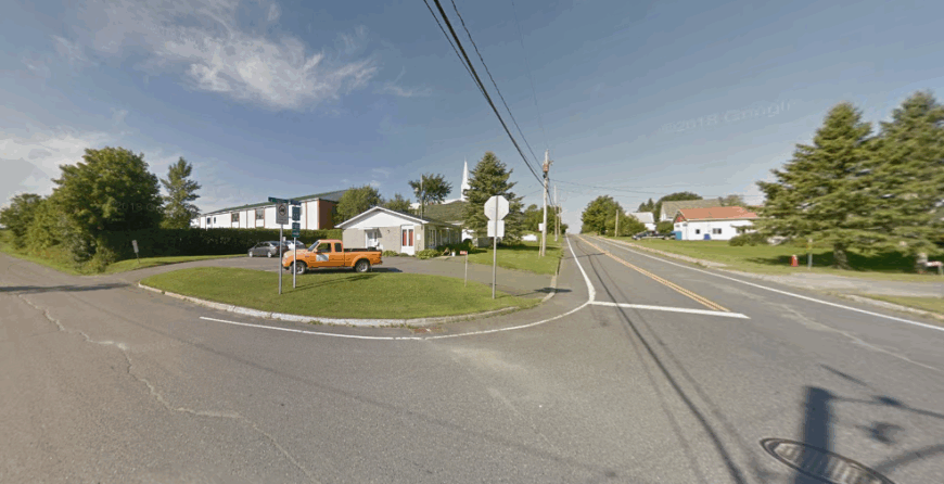
Alder Stream sits far off the map, where dense spruce woods and winding waterways make travel slow and quiet. The town feels more like a clearing in the wilderness than a settlement, with cabins scattered along dirt lanes that fade into forest.
The sound of rushing water defines the place—trout streams, beaver ponds, and wetlands alive with birdsong. Visitors come to fish for brook trout, paddle canoes through calm stretches, or follow game trails that slip into deep, shaded thickets.
Logging shaped much of its past, but today the land feels claimed more by nature than by people. It’s the kind of place where solitude isn’t an escape but the natural way of life.
Where is Alder Stream?
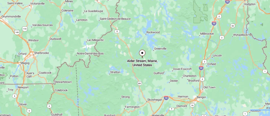
Alder Stream sits in the northwestern part of Maine, surrounded by forestland and winding waterways. It lies roughly 40 miles north of Skowhegan, reached by following Route 201 before giving way to narrower logging roads.
The drive takes you past rivers and stretches of wilderness with few interruptions from human settlement. By the time you arrive, the quiet landscape makes it feel like you’ve stepped into a world entirely apart.
22. Spencer Township: Remote Waters and Empty Hills
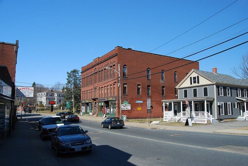
Spencer Township is one of those places where the past feels closer than the present, a stretch of Franklin County once marked by farming families and timber camps. The old village faded away long ago, leaving cellar holes, stone foundations, and whispers of church bells that no longer ring.
What remains today are wide meadows that once held crops, now giving way to birch and pine, and a scattering of seasonal camps along the water. Hunters and anglers still come here, following the rhythms of deer season or the spring thaw when brook trout rise.
The township’s story is written in absence as much as presence—what you see is as telling as what has vanished. It’s the kind of place that reminds you how quickly nature can turn homesteads back into quiet woods.
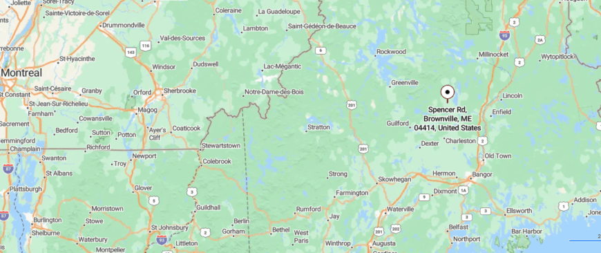
Where is Spencer Township?
Home Stratosphere Guide
Your Personality Already Knows
How Your Home Should Feel
113 pages of room-by-room design guidance built around your actual brain, your actual habits, and the way you actually live.
You might be an ISFJ or INFP designer…
You design through feeling — your spaces are personal, comforting, and full of meaning. The guide covers your exact color palettes, room layouts, and the one mistake your type always makes.
The full guide maps all 16 types to specific rooms, palettes & furniture picks ↓
You might be an ISTJ or INTJ designer…
You crave order, function, and visual calm. The guide shows you how to create spaces that feel both serene and intentional — without ending up sterile.
The full guide maps all 16 types to specific rooms, palettes & furniture picks ↓
You might be an ENFP or ESTP designer…
You design by instinct and energy. Your home should feel alive. The guide shows you how to channel that into rooms that feel curated, not chaotic.
The full guide maps all 16 types to specific rooms, palettes & furniture picks ↓
You might be an ENTJ or ESTJ designer…
You value quality, structure, and things done right. The guide gives you the framework to build rooms that feel polished without overthinking every detail.
The full guide maps all 16 types to specific rooms, palettes & furniture picks ↓
Moose River Township lies in Somerset County, Maine, where the Moose River winds through forested valleys and quiet lowlands. Located just west of Jackman, it is reached along U.S. Route 201, a scenic byway that follows the river north toward the Canadian border.
The area is rich in outdoor opportunities, from paddling the river’s calm stretches to hiking trails that cut through the surrounding woods. With its remote setting and steady flow of water, Moose River Township feels like a place where the wilderness sets the pace of life.
21. Rangeley Plantation: On the Quiet Edge of a Famous Lake
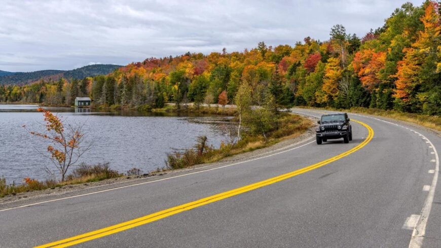
Rangeley Plantation rests on the edge of the vast western mountains, where the roads thin and the lakes stretch wide beneath rolling hills. Unlike bustling Rangeley nearby, the plantation feels quieter, with fewer neighbors and long pauses of silence carried on mountain air.
The landscape invites exploration—canoeing across glassy waters, hiking up ridgelines with sweeping views, or watching the stars brighten in skies untouched by city glow. In autumn, the woods burn gold and crimson, drawing hunters and leaf-watchers alike, while winter turns the land into a haven for snowshoeing and stillness.
Tourism provides a trickle of life here, but it never overwhelms the sense of space and solitude. It’s the kind of place where the land feels larger than time, and every visit lingers like a secret you’re not eager to share.
Where is Rangeley Plantation?
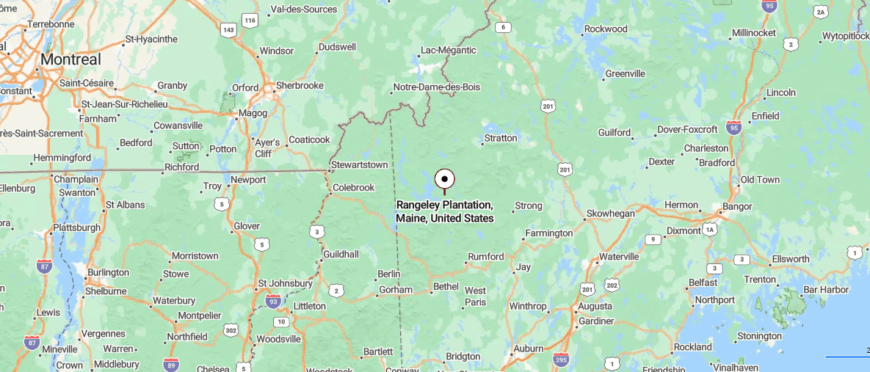
Rangeley Plantation lies in western Maine’s highlands, tucked along the eastern edge of the Rangeley Lakes region. It sits about 10 miles south of the town of Rangeley, reached by a winding stretch of Route 4 that hugs the shoreline.
The road in rises and dips with the mountains, offering glimpses of lake water through the trees before narrowing into quieter byways. By the time you arrive, the landscape feels vast and untamed, as if the lakes and peaks have closed in to hold the world at bay.
20. Dallas Plantation: A Quiet Neighbor to Rangeley
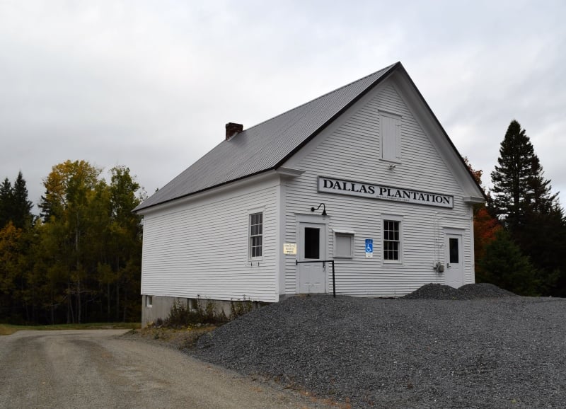
Dallas Plantation stretches quietly at the foot of Maine’s western mountains, where winding backroads slip between forests and lakes far from crowded routes. It carries a rugged calm, shaped by logging traditions and the steady presence of the land itself.
The air is filled with the scent of fir and cedar, and mornings rise slow with mist drifting across hidden ponds. Outdoor days mean hiking up Bald Mountain, casting a line in Rangeley Lake, or snowmobiling trails that carve through deep winter woods.
A small year-round community balances life between tourism and old homesteads, holding onto the township’s steady rhythm. It’s the kind of place that grounds you, as if the land itself insists on slowing every step.
Where is Dallas Plantation?
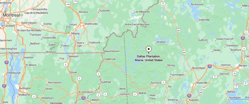
Dallas Plantation lies in western Maine, nestled in the mountains just outside the Rangeley Lakes. It sits about 5 miles east of Rangeley, reached by Route 16 as it curves upward into forested ridges.
The approach is a gradual climb, with winding roads that pass thick woods and open clearings overlooking valleys below. Once there, the stillness of the hills makes it feel like a retreat tucked away from everything else.
19. Coplin Plantation: Pines Beside the Dead River
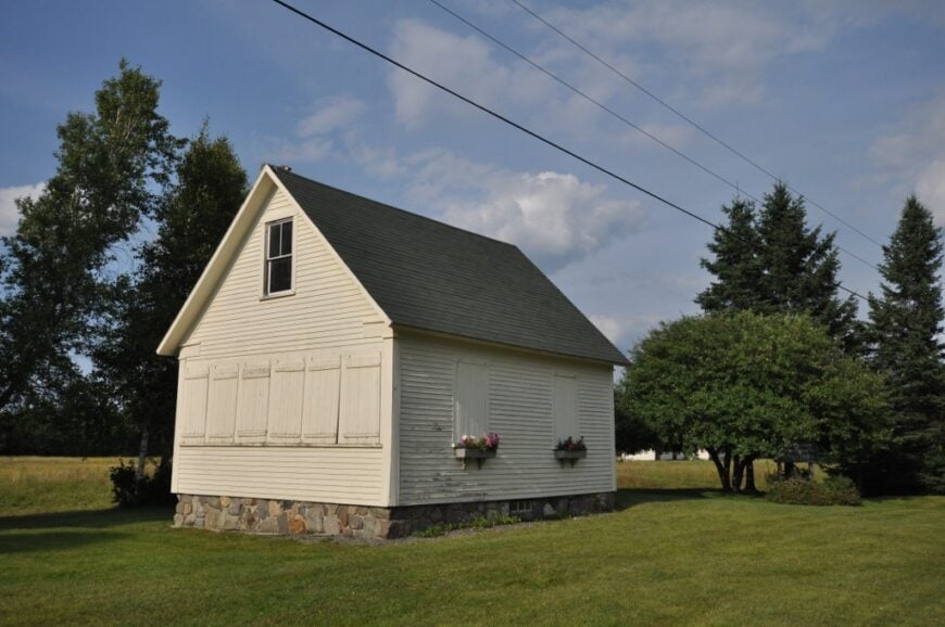
Coplin Plantation lies tucked between tall ridges and endless woods, where long stretches of road pass more moose tracks than tire marks. The township is small and scattered, its quiet broken only by the rush of the Dead River and the call of birds hidden in spruce thickets.
Life here leans toward the wild—hunting, fishing, and following snowmobile trails that cut across miles of untouched forest. In summer, hikers move through alpine paths, while winter blankets everything in deep silence and drifts of snow.
Logging has long been part of its story, though today the land feels ruled more by wilderness than industry. It’s the kind of place where solitude isn’t found—it simply surrounds you.
Where is Coplin Plantation?
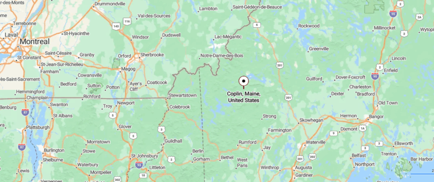
Coplin Plantation is set in the western mountains of Maine, resting between the Rangeley Lakes and the Canadian border. It lies about 15 miles north of Stratton, reached along Route 27 as it narrows into a stretch of quiet mountain road.
The drive carries you past dense evergreens and small brooks that crisscross the valley floor. By the time you arrive, the sense of remoteness settles in, as though the outside world has gently fallen away.
18. Freeman Township: Old Foundations in Deep Woods
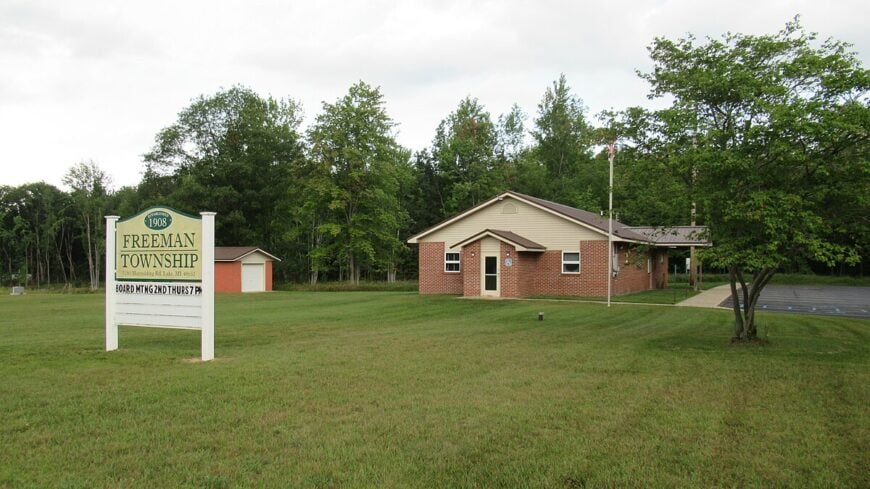
Freeman Township sits quietly in Maine’s northwest hills, where dirt roads drift past fields gone back to forest and only a handful of homes remain. Once busier with farms and mills, today it feels like a place that has slipped back into the arms of wilderness.
The silence is deep, broken by the wind in tall maples or the ripple of streams that cross forgotten stone walls. Those who come here wander old cellar holes, hike ridges with sweeping mountain views, or follow the seasons with hunting and sugaring.
Few industries linger beyond small homesteads and woodlots, giving the land a timeless, unhurried pace. It’s the kind of place that feels like memory itself—quiet, enduring, and waiting to be rediscovered.
Where is Freeman Township?
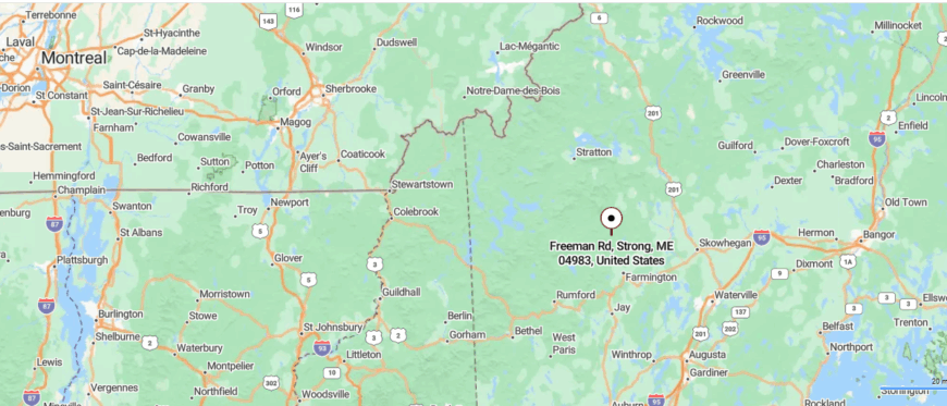
Freeman Township lies in northwest Maine, bordered by rolling hills and deep forestland near the Carrabassett Valley. It is about 15 miles west of Farmington, reached by following Route 149 before branching onto smaller rural roads.
The way in feels unhurried, with winding paths that pass meadows and streams before narrowing into shaded woodland. By the time you arrive, the quiet countryside makes it seem like a corner of Maine few ever find.
17. Salem Township: A Valley Shadowed by Mount Abraham
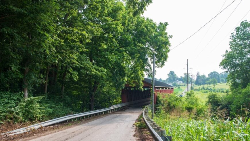
Salem Township lies in the shadow of Mount Abram, where winding country roads fade into forest and foothills. With only a small scattering of residents, the township feels more like an outpost than a town, its rhythm set by the land itself.
The air is sharp with mountain wind, and evenings settle into quiet broken only by owls calling across the trees. Visitors hike trails that climb toward alpine ridges, wander old cemeteries that hint at deep roots, or fish the clear waters that cut through valleys.
Farming once shaped daily life, but today it is a retreat for those seeking mountains, woods, and silence. It’s the kind of place where every horizon feels close to the sky, reminding you how vast and still the world can be.
Where is Salem Township?
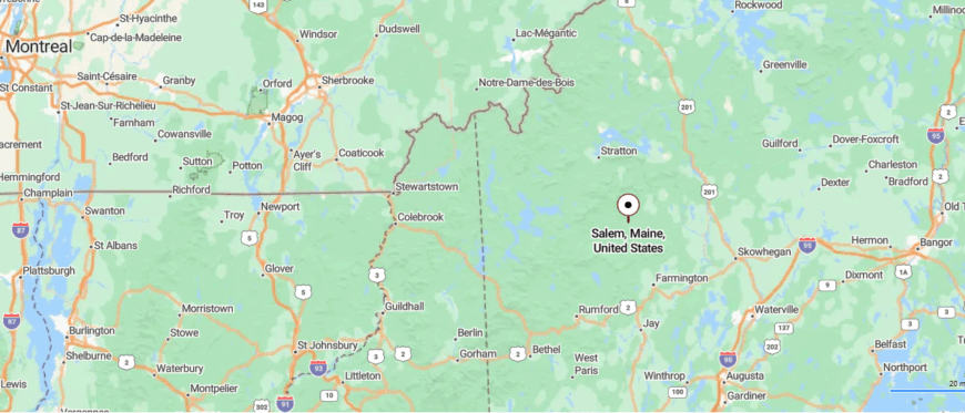
Salem Township rests in western Maine, framed by the foothills of the Bigelow Range and quiet stretches of farmland. It is about 20 miles northwest of Farmington, reached by following Route 142 through a series of gentle bends and wooded passes.
The road meanders past fields and low ridges, thinning of traffic the farther you go. When you arrive, the open sky and surrounding hills give the feeling of a place both tucked away and timeless.
16. Wyman Township: Bigelow Range in the Backyard
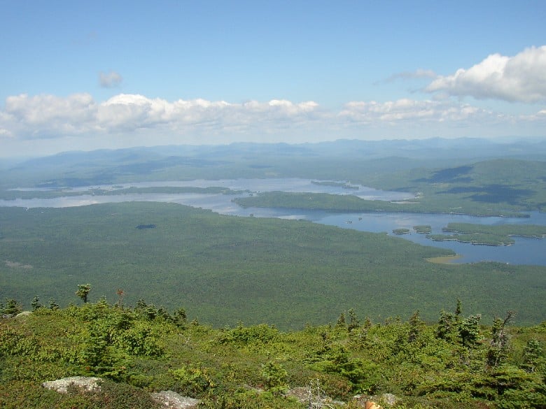
Wyman Township is cradled by the high peaks of western Maine, where mountains rise steeply and the Carrabassett River winds through dense forest. With no clustered village center, the township feels scattered and wild, its spirit carried by open land and mountain air.
The sound of rushing water and wind through spruce trees replaces the hum of traffic, giving each day a rhythm rooted in nature. Hikers climb Bigelow Mountain, skiers carve the nearby slopes of Sugarloaf, and anglers cast lines into cold, clear streams.
Tourism and outdoor recreation keep a steady pulse here, though the land itself always feels larger than the people who come and go. It’s the kind of place where wilderness and daily life blur, leaving you with a sense of belonging to the mountains themselves.
Where is Wyman Township?
Would you like to save this?
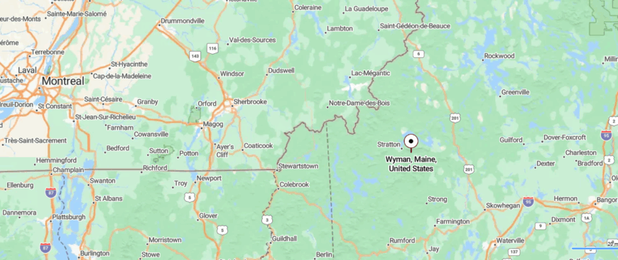
Wyman Township lies in western Maine, stretched along the Carrabassett River and shadowed by the Bigelow Mountains. It sits about 10 miles north of Kingfield, reached by traveling Route 27 as it climbs steadily into higher ground.
The road winds through river valleys and dense woods, with peaks rising closer the farther you go. Surrounded by rugged wilderness, it feels like a gateway to solitude where mountains and silence take the lead.
15. Madrid Township: Forgotten Mills Along the Sandy River
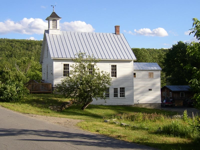
Madrid Township feels like a place that slipped out of time, tucked between the Sandy River and the shadow of Saddleback Mountain. Once alive with sawmills and small farms, its villages faded, leaving only cellar holes and weathered cemeteries as markers of what was.
The township’s silence is striking—no downtown, no stores, just the occasional pickup winding down a dirt road. Visitors find themselves drawn to the high ridgelines, the cool waters where trout still rise, or the hidden traces of the narrow-gauge railroad that once ran here.
A few camps and woodlots remain, but mostly it is the land that shapes the rhythm. It’s the kind of place that feels less like a destination and more like a forgotten chapter you’re lucky enough to stumble into.
Where is Madrid Township?
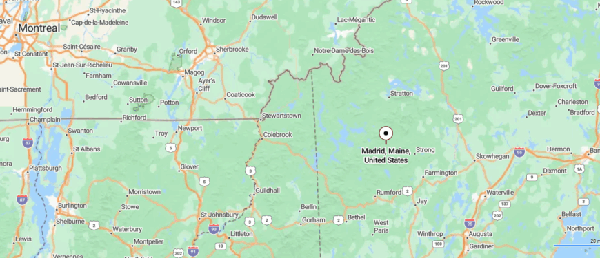
Madrid Township is tucked into the western mountains of Maine, a quiet place where old farms and forested ridges shape the land. About 20 miles from the town of Rangeley, it lies along the Sandy River and near the scenic Rangeley Lakes region, making it a natural stop for anglers, hikers, and leaf peepers.
With its rural roads, mountain views, and deep ties to the region’s early settlers, Madrid Township feels like a hidden pocket of history and wilderness waiting to be discovered.
14. Mount Abram Township: A Ridge Few Ever Reach
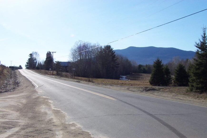
Mount Abram Township lies in the high country, where the ridgelines rise sharp and the air thins with the scent of spruce. There is no village here, only scattered cabins and the long shadows of the mountain that gives the place its name.
The land feels raw and vertical, drawing hikers and backcountry skiers who follow trails that vanish into alpine quiet. Old logging roads snake through the valleys, reminders of a past when the forest was worked rather than wandered.
Today, it’s the silence of snow, the rush of meltwater, and the sweep of stars at night that hold the township together. It’s the kind of place that feels like wilderness wearing the faintest trace of human touch.
Where is Mount Abram Township?
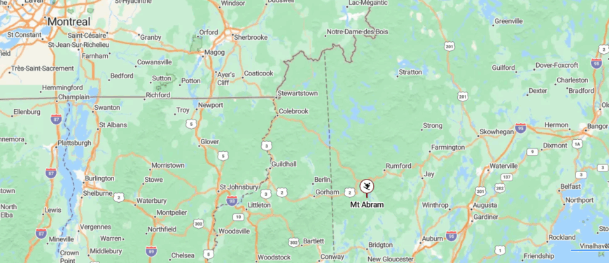
Mount Abram Township sits in the highlands of north-western Maine, anchored by the mountain that shares its name. About 15 miles north of Kingfield, it is reached by traveling along Route 27 into the foothills.
The area is marked by rugged peaks, forested valleys, and clear-running streams that invite hiking and exploration. Tucked into this wild landscape, the township offers a quiet sense of retreat in Maine’s mountains.
13. East Central Franklin: A Name Without a Town
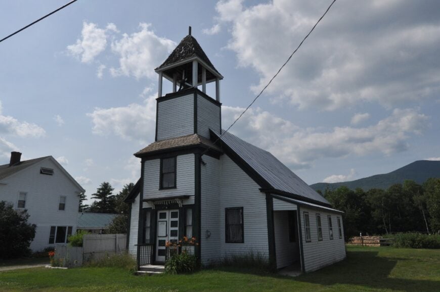
East Central Franklin is less a town than a wide sweep of forest and ridge, its boundaries marked more by rivers and mountains than by people. The place has no clustered center—just dirt roads winding past hidden camps, boggy wetlands alive with birds, and long stretches of silence.
Those who venture here come to hunt in the fall, to ski nearby Sugarloaf in winter, or to wander logging roads that disappear into green wilderness come summer. The land has been shaped by timber and trails more than by storefronts or steeples, giving it the feel of a territory rather than a township.
Evenings bring the hush of wind through spruce and the glow of stars unbroken by streetlamps. It’s the kind of place that makes you realize seclusion can be as vast as the landscape itself.
Where is East Central Franklin?
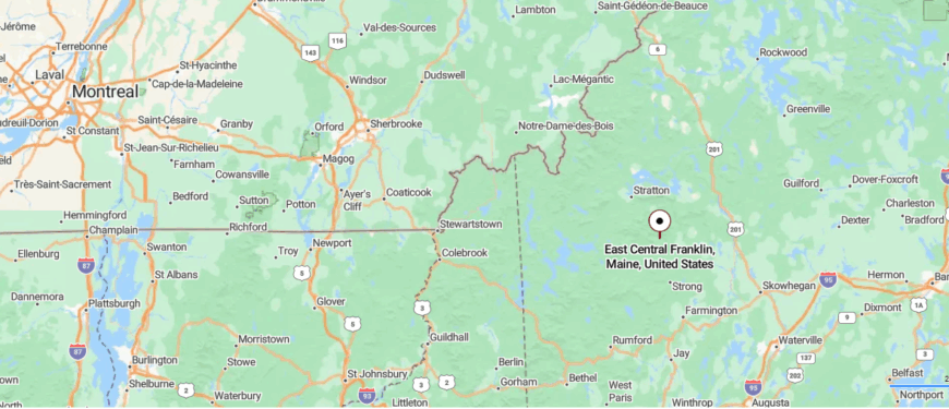
East Central Franklin is a remote township in western Maine, surrounded by dense forests and high ridgelines that keep it far from the pace of town life. Located east of Rangeley and south of Eustis, it is reached by rural backroads that wind through woodland and scattered clearings.
Streams and quiet ponds dot the landscape, offering opportunities for fishing, canoeing, and quiet walks in nature. With its wide skies and mountain backdrop, East Central Franklin feels like a hidden stretch of Maine where time slows and solitude still thrives.
12. Johnson Mountain Township: A Summit Few Ever Visit
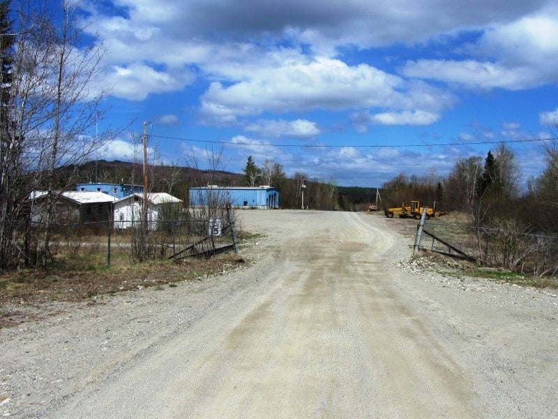
Johnson Mountain Township rises rugged and steep, its slopes draped in thick spruce and fir where trails are more likely to belong to deer than to people. There is no village here, only the mountain itself, standing like a sentinel above the valleys.
Hunters come in autumn, following ridges where the air smells of balsam and earth, while winter invites snowshoers into a silence so deep it seems to press against the ears. Old logging cuts can still be found in the lower woods, traces of when men worked these hills with saws and horses.
Now, the land has given itself back to wilderness, holding onto solitude as its truest feature. It’s the kind of place that makes you feel small in the best way, with the mountain’s presence reminding you of how long the wild can endure.
Where is Johnson Mountain Township?
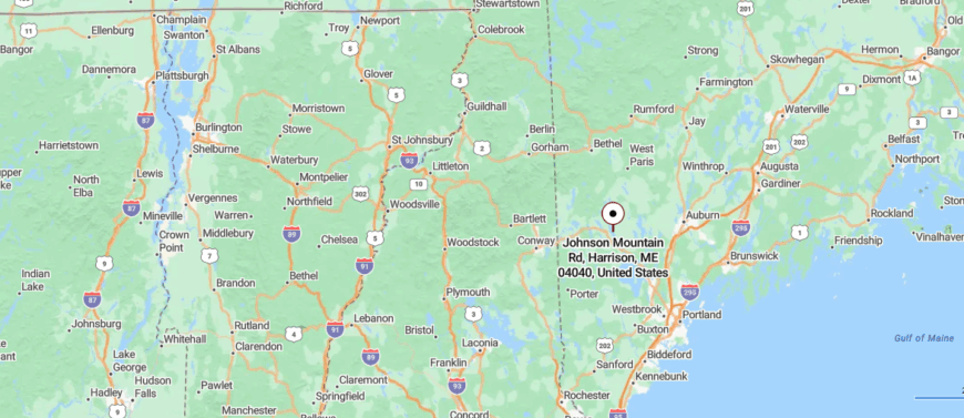
Johnson Mountain Township lies in Franklin County, Maine, surrounded by the rugged slopes of the Longfellow Mountains. About 25 miles north of Rangeley, it is accessed by remote logging roads that cut through thick forest.
The landscape features high ridges, clear streams, and vast stretches of wilderness ideal for backcountry exploration. Its deep seclusion gives the township the quiet character of an untouched mountain retreat.
11. Lowelltown Township: A Forgotten Border Crossing
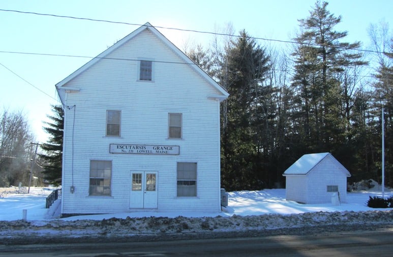
Lowelltown Township sits tucked against the Canadian line, hemmed in by high ridges and thick forest that seem to stretch without end. There are no clustered homes or shops here, only the border marker, the hush of old trails, and the steady voice of the Dead River winding through the trees.
The Appalachian Trail cuts across its backcountry, carrying hikers through bogs, streams, and shadowed woods where moose and bear leave the only tracks. In winter, snow piles deep and roads fade into white silence, leaving the township even more remote than usual.
What little industry once touched the place has long vanished, leaving wilderness as its lasting identity. It’s the kind of place where you understand what it means to be at the very edge of things, quiet and untamed.
Where is Lowelltown Township?
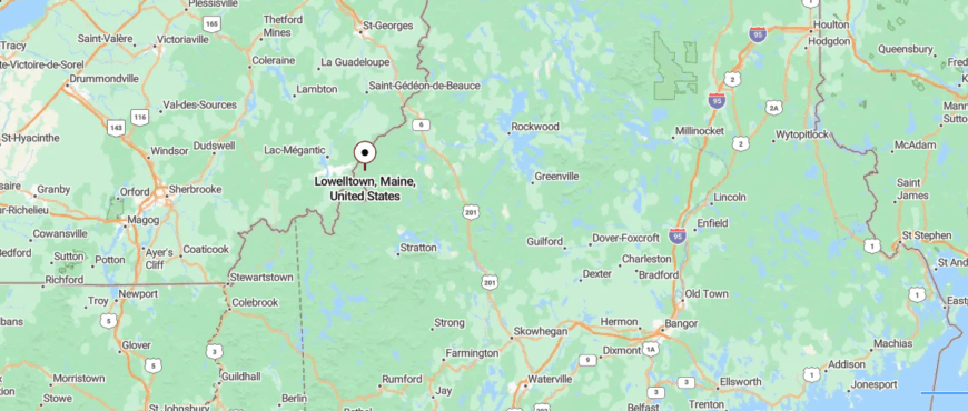
Lowelltown Township is set in Franklin County, Maine, along the remote border with Canada in the Boundary Mountains. It is reached by forest roads north of Eustis, far from the bustle of nearby towns.
The land is rugged, with wooded slopes, high ridgelines, and scattered streams that appeal to hunters and backcountry travelers. Its borderland setting gives Lowelltown a rare sense of isolation and untouched wilderness.
10. Kibby Township: Peaks, Windmills, and Zero Neighbors
Kibby Township counts roughly twenty-five year-round residents who occupy broad house lots carved from the slope between Kibby Mountain and Skinner Ridge. Outdoor days revolve around climbing the 3,000-foot peaks, mountain-biking skidder paths, and visiting Kibby Wind Power Project’s overlook for sweeping photos.
Timber management and maintenance work for the wind farm provide the only regular paychecks, with seasonal guiding filling gaps. Wide buffers of conservation land and private timber holdings prevent any cluster of buildings, so neighbors sit a mile or more apart.
Groceries require a thirty-mile trip to Stratton, reinforcing the sense of isolation. Even the local post office box sits in another township, underscoring how far Kibby is from conventional town amenities.
Where is Kibby Township?
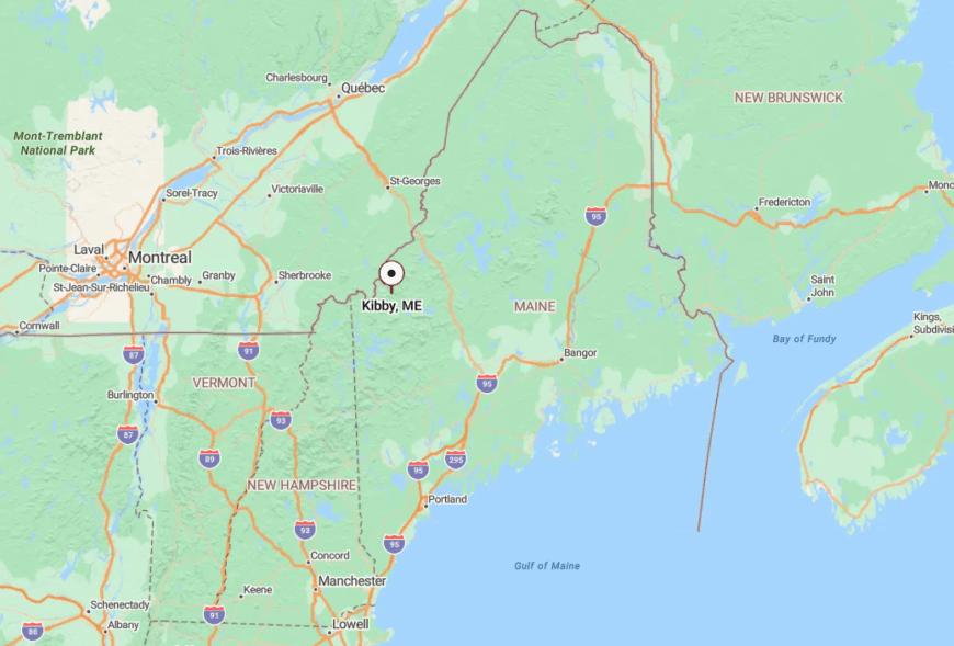
Kibby Township lies in Franklin County just west of the Appalachian Trail near the Quebec border. Ringing peaks block radio signals and the lone graded road connects to Route 27 only after fifteen winding miles.
Visitors typically reach the township by taking Route 27 north from Kingfield, then turning onto the gravel Gold Brook Road that climbs past the wind farm. Snow blankets that road in winter, so access shifts to snowmobile or tracked vehicle until spring thaw.
9. Chain of Ponds Township: Lakes Linked by Wilderness
Chain of Ponds Township supports about ten permanent residents who wake to loon calls echoing across interconnected ponds named Natanis, Long, Bag, and Lower. Days fill with paddle excursions through the natural canal system, shoreline berry picking, and early-morning fly casting for brook trout beside floating bog mats.
A handful of family-run campsites and one seasonal bait shop make up the local economy, with the rest of the land devoted to working forest. The township feels secluded because cabins sit behind trees on distant coves and Route 27 skirts far enough east that its traffic never reaches the water.
Night light is limited to campfires and headlamps, letting stars reflect off mirror-still coves. Even wildlife seems to outnumber people, with moose frequently using the carry trails meant for canoes.
Where is Chain of Ponds Township?
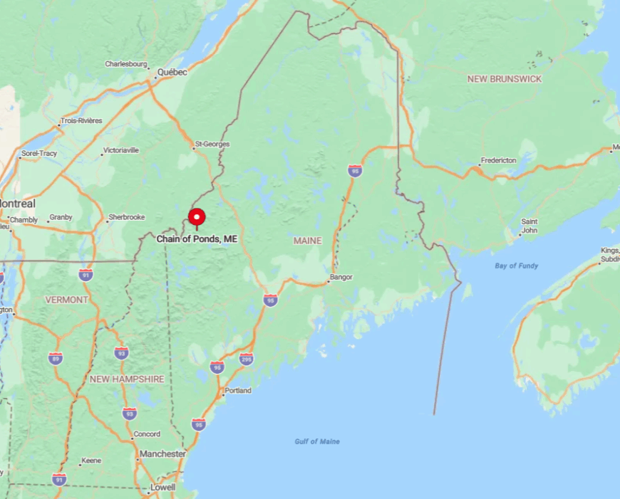
Located in northern Franklin County, Chain of Ponds stretches along a valley thirty miles south of the Canadian frontier. Hills on both sides block cell reception, and the only maintained launch ramp is a narrow gravel lane off a dirt spur labeled just with a small state forestry sign.
Travelers usually leave pavement at the Sarampus Falls picnic area, then follow Dead River Road five miles to reach the first pond. Once snow arrives, access switches to ice road plowing done by camp owners themselves, making winter visits a commitment.
8. Redington Township: The Blank Spot on the Map
Redington Township claims fewer than five year-round residents and only a scattering of seasonal cabins hidden within forty square miles of spruce ridges.
Hikers bushwhack to the 4,000-foot summit of Redington Mountain, back-country skiers carve fresh lines on old logging cuts, and amateur astronomers haul telescopes to cleared helipads left from the Air Force radar days.
There is no commercial activity besides occasional timber harvesting, so work often means remote computer tasks powered by solar arrays or generator fuel hauled from Rangeley. The township’s seclusion stems from the absence of public roads, utility lines, and any through traffic.
Even casual visitors need landowner permission to pass gated timber roads, thinning the crowd to almost none. With no ambient glow in the night sky, the Milky Way appears bright enough to cast shadows.
Where is Redington Township?
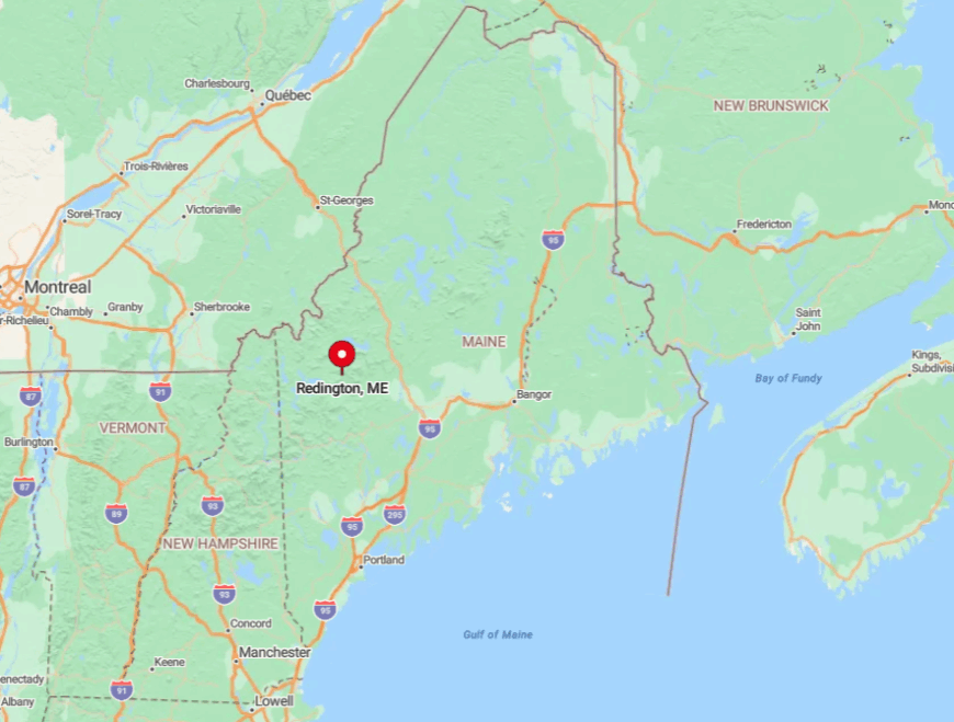
Redington sits between the high peaks of Franklin County, wedged south of Carrabassett Valley and north of Mount Abram Township. Thick forest and private gates keep it off GPS routing software, and guidebooks often omit it completely.
The standard approach follows Rapid Stream Road from Kingfield until signage announces that maintained travel ends. Beyond this point four-wheel-drive or snowshoes become the only options, which is exactly why solitude persists.
7. Lincoln Plantation: A One-Road Hamlet on Aziscohos Lake
Lincoln Plantation hosts about forty-five residents spread along the meandering thirteen-mile stretch of Route 16 that hugs Aziscohos Lake’s eastern shoreline.
Locals spend free time trolling for landlocked salmon, exploring the lake’s several fjord-like coves, and collecting driftwood on the exposed beaches during late summer drawdown. Small guiding services and an historic sporting camp built in 1908 form the main sources of revenue, supplemented by part-time forestry work.
Seclusion comes from the fact that Route 16 dead-ends into the New Hampshire border to the south and Canada lies directly across the water to the west, leaving the plantation without pass-through traffic.
Cell phones jump to a Quebec tower one moment and lose service entirely the next, keeping conversations pleasantly sparse. Mail delivery stops at the tiny pick-up box welded to the old schoolhouse, reminding residents how far they are from urban schedules.
Where is Lincoln Plantation?
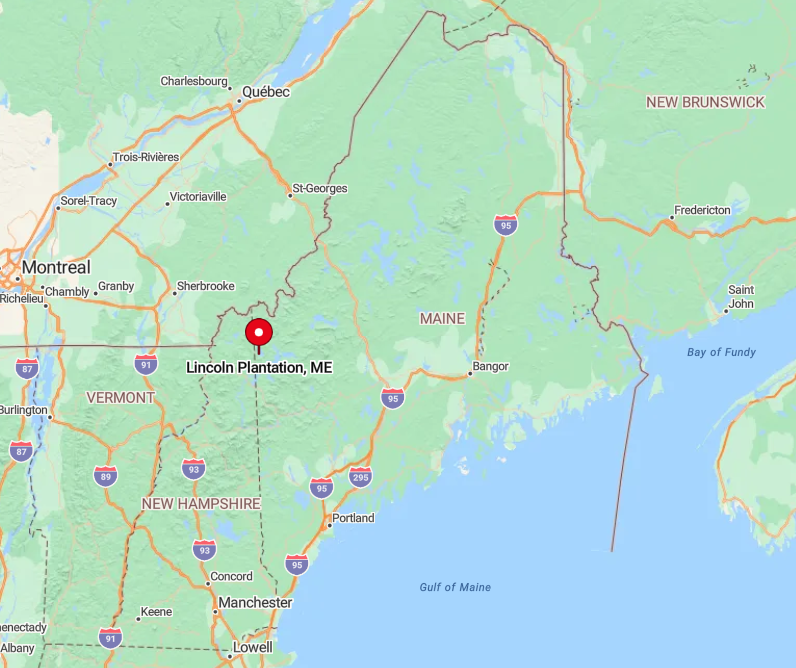
The plantation sits in Oxford County, forty miles northwest of Rumford and nearly that distance from the nearest supermarket. Hemlock ridges fence the lake on all sides, so radio and phone signals rarely reach the water.
Visitors typically follow Route 16 from Oquossoc, then cross the smaller Aziscohos Dam bridge before entering the plantation’s single line of development. Winter storms close that bridge at times, turning the last ten miles into a snowmachine route only brave locals attempt.
6. Adamstown Township: Where Logging Roads Become Driveways
Roughly twenty year-round residents call Adamstown Township home, many living in cedar camps tucked among the pines on Richardson Lake’s western shore. Favorite pastimes include paddling to abandoned railroad trestles, tracking loons through morning fog, and hiking Bemis Mountain for sweeping overlooks of the lake chain.
Timber harvesting and seasonal guiding are the primary industries, with some residents commuting weekly to mill jobs in Rumford. Isolation is pronounced because most cabins connect to the outside world only by gated logging roads that double as lengthy private driveways.
Groceries, mail, and even emergency services arrive only when arranged in advance, encouraging a strong sense of self-reliance. The scent of fresh-cut balsam replaces street sounds, making silence the default background.
Where is Adamstown Township?
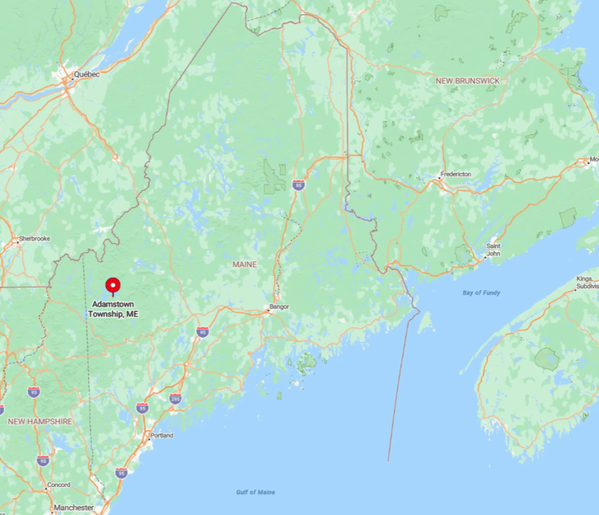
Adamstown occupies the slender strip between Upper and Lower Richardson Lakes in western Oxford County. Its southern edge touches the shoreline of Richardson Lake while the northern boundary reaches miles of roadless hardwood ridges.
The usual access starts on Route 17, then heads west along South Arm Road before giving way to gravel spurs posted with timber company signs. Once winter sets in, those spurs close at locked gates, leaving snowmobile trails across the frozen lake as the only path.
5. Magalloway Plantation: Maine’s Northwestern Corner Pocket
Magalloway Plantation counts fewer than thirty-five permanent residents who settle along the bends of the Magalloway River where cool mist slides through dawn.
Days revolve around fly-fishing the river’s riffles, photographing moose in roadside marshes, and climbing nearby Elephant Mountain for panoramic shots into New Hampshire.
Guiding, small-scale lumbering, and a modest maple operation make up the limited economic activity. The plantation’s remoteness stems from being fifteen miles from the nearest fuel pump and bordered on two sides by peaks reaching over 4,000 feet.
Dense forest buffers the handful of homes, letting morning fog erase even those quiet outlines. Nighttime silence is broken only by barred owls and the river’s low rush.
Where is Magalloway Plantation?
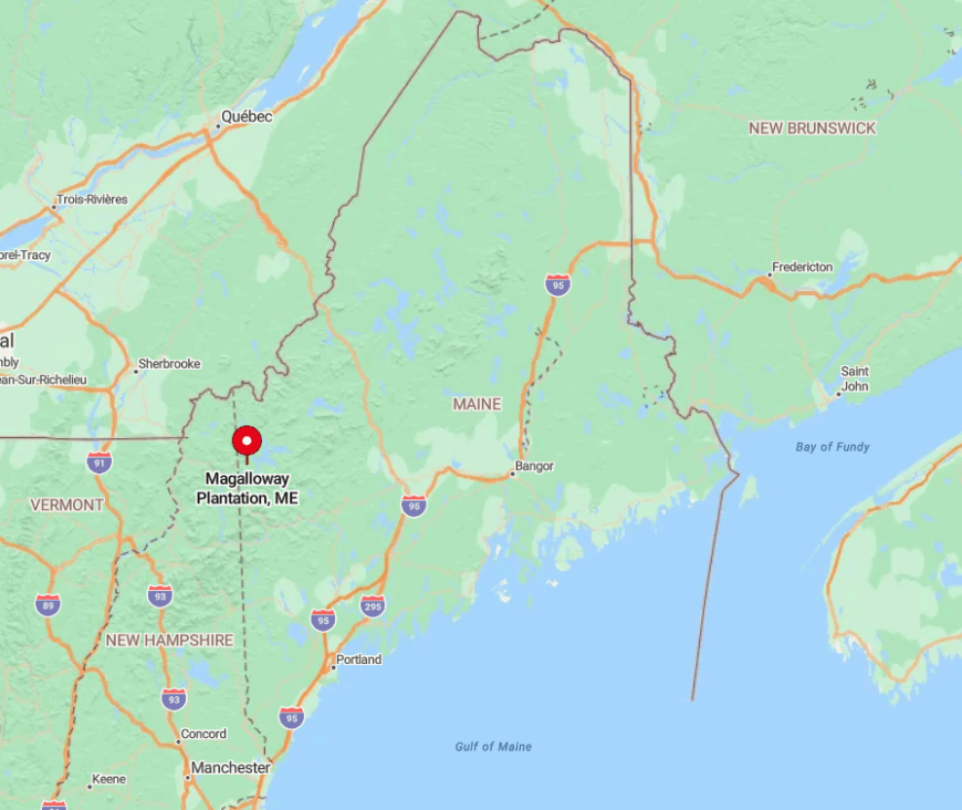
Situated in Oxford County’s extreme northwest corner, Magalloway hugs the state line where Maine, New Hampshire, and Quebec almost meet. High ridges funnel weather and block communication signals, adding to the sense of enclosure.
Drivers leave Route 16 at Wilsons Mills, then follow Little Magalloway Road past a weathered wooden sign to enter the plantation. During heavy snow, that final stretch becomes passable only by four-wheel drive with tire chains or by tracked utility vehicle.
4. Parmachenee Township: Fly-Fishing Heaven Off the Grid
Parmachenee Township has no permanent residents, yet its log cabins fill each summer with anglers dedicated to catching trophy brook trout in the Rapid River. Daily routines include portaging canoes around Smooth Ledge, picking wild blueberries on Carry Trail Ridge, and gathering around wood cookstoves after dusk.
The only local enterprise is the privately managed sporting club that maintains a handful of rustic camps lacking electricity or plumbing. Seclusion is guaranteed because no public roads reach the township and cell towers stop miles away, leaving VHF radios as the main link to the outside.
Visiting groups plan provisions carefully since restocking requires another half-day paddle and hike. Without artificial light, night skies shimmer so brightly that camp shadows form even during a new moon.
Where is Parmachenee Township?
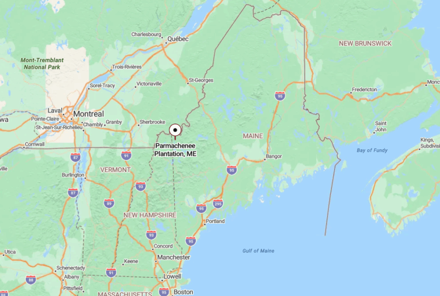
Parmachenee sits just north of Aziscohos Lake in Oxford County, wedged between the Rapid River and the Canadian border. Granite ledges and tangled spruce swamps prevent conventional road building, so access relies on a gated logging track to the south followed by a two-mile portage trail.
Most visitors depart from the Boat Launch at Middle Dam, then paddle across Umbagog Lake before starting the portage. Winter freezes the waterways, making snowshoe travel the only option, which keeps the township empty until spring break-up.
3. Lang Township: Acres of Maple with One Plowed Road
Lang Township records roughly fifteen residents spread across eighteen thousand acres of sugar maple stands and rolling hills that face Saddleback Mountain. Local activities center on collecting sap in spring, hunting ruffed grouse along old skidder paths, and cross-country skiing the wide powerline corridor.
Small family maple farms and seasonal logging contracts provide modest income, with some residents also managing seasonal rental cabins. The township stays secluded because only one county-maintained gravel road, Langtown Mill Road, gets winter plowing, and it ends abruptly at a gate.
Beyond that gate lie miles of seasonal tracks impassable to ordinary vehicles for much of the year. With fewer than one person per square mile, quiet is practically written into the deed.
Where is Lang Township?
Would you like to save this?
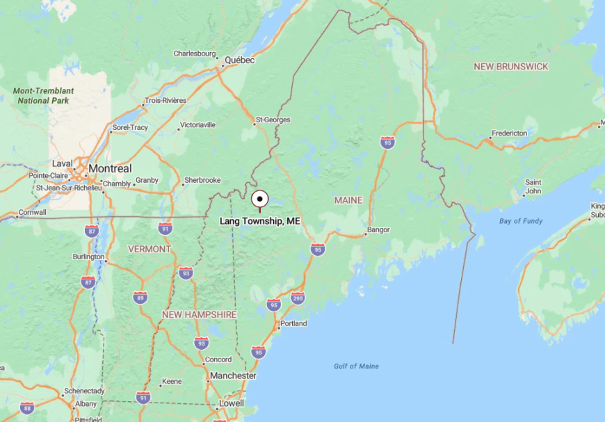
Lang Township occupies a high plateau in Franklin County, a dozen miles southwest of Rangeley. Surrounding ridges and forest limit cellular coverage to a weak single bar near the highest knoll, reinforcing off-grid living.
Travelers reach the township from Route 4, turning onto Langtown Mill Road beside the abandoned pulp mill foundation that now serves as a makeshift parking area. During heavy snow, residents mount plows to personal pickups to keep that stretch open, though many choose to switch to snowmobiles instead.
2. Dead River Township: Quiet Shores Below Bigelow Range
Dead River Township supports around forty residents, many living in cedar shingle camps with private docks along Flagstaff Lake’s northwestern shoreline.
Common pastimes include backcountry canoeing to submerged remnants of the evacuated town of Flagstaff, birdwatching in the wetland fingers, and hiking Cranberry Peak in the adjacent Bigelow Range.
Seasonal guiding and cabin rentals provide modest income, augmented by selective timber harvesting deeper in the township. Much of the seventeen thousand acres is locked behind gates from mud season through midsummer to protect gravel roads, preventing casual tourist traffic.
Those closures, combined with the lake’s broad expanse and the shadow of the Bigelow peaks, create a cocoon of calm. Even summer weekends rarely bring more than a few paddle strokes echoing across the water.
Where is Dead River Township?
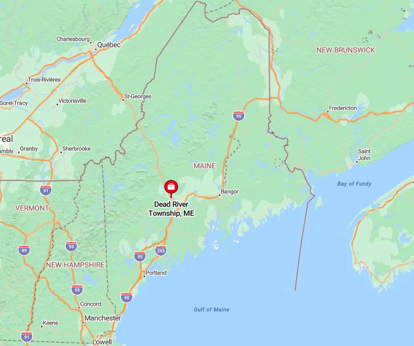
Dead River Township sits in Somerset County just west of the village of Stratton and north of Bigelow Preserve. Ridges blocking the southern approach coax most drivers along Long Falls Dam Road, which dead-ends at the lake before turning into a hiking trail.
The township’s interior is reached by a spur road that opens only after mud season, so timing a visit takes planning. Winter explorers often skip roads entirely and ski across the frozen lake from the public launch at Cathedral Pines.
1. Stetsontown Township: High Plateau of Endless Pines
Stetsontown Township has no permanent residents and spans fifty square miles of gently rolling white pine forest broken only by peat bogs and kettle ponds. Wildlife photographers come for sunrise mist rising off Twin Bog and for the remote chance of spotting Canada lynx tracks in fresh snow.
There are no businesses here; the closest economic activity involves occasional timber crews who set up temporary camps and then leave without trace. The township is entirely roadless, and access depends on a snowmobile trail in winter or a two-day hike in summer from the nearest trailhead near the village of Oquossoc.
This lack of infrastructure insulates the plateau from visitor overload, preserving deep silence broken only by wind in the pines. Nightfall brings total darkness, turning the bog pools into perfect mirrors for star reflections.
Where is Stetsontown Township?
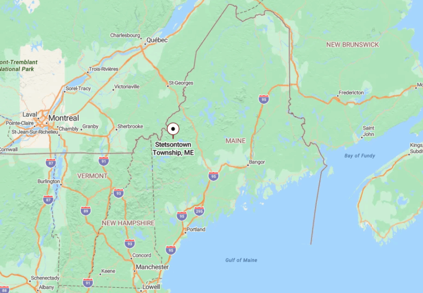
Stetsontown occupies the rooftop of Franklin County near the headwaters of Fourmile Brook, roughly five miles east of the Quebec frontier. Granite ledges and wetlands prevented any logging roads from penetrating, so modern maps still show a blank green square.
Reaching the township involves paddling across Kennebago Lake to a carry trail or snowmobiling in via the Kennebago River corridor once it freezes. These hurdles keep Stetsontown one of Maine’s last truly untouched townships.


