Would you like to save this?
The Sierra Nevada hides more than polished ski resorts and postcard vistas; it also shelters tiny neighborhoods where silence and starlight still rule the calendar. We set out to map ten of these havens, places where parcel sizes stretch wide, traffic thins to a whisper, and local gossip travels faster than cell reception.
Each community offers its own blend of alpine adventure and back-porch calm, from granite-rimmed lakes to sagebrush mesas perched above desert basins. Visitors will find unexpected museums, quirky festivals, and trailheads so lightly trodden that bear tracks outnumber boot prints.
Join us on a countdown through California’s most secluded Sierra addresses—spots that prove remoteness is a feature, not a flaw.
10. Alleghany – Sierra County
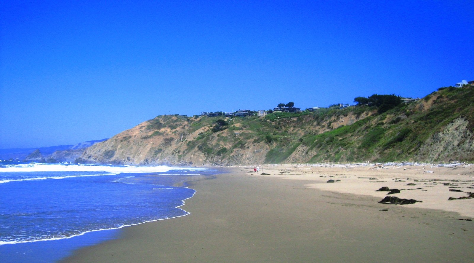
Alleghany began as a gold-rush hideout and still hosts fewer than 60 year-round residents, most living on acre-plus parcels threaded along a single ridgeline road.
The Underground Gold Miners Museum offers weekend tours into defunct shafts, giving visitors a rare look at quartz-vein geology that once filled stagecoaches with bullion. On quiet evenings, coyotes howl across the ravines while porch lights reveal more deer than people on Main Street.
The absence of retail aside from the rustic Casey’s Place bar encourages residents to hike the crisscrossing miners’ trails or pan flecks of color in Kanaka Creek. Amateur astronomers prize the pitch-black night sky, which frames the Milky Way without a hint of city glow.
Even the local kids talk about Sweetland Mine, an abandoned tunnel a mile south that supposedly hides lost dynamite—an unlisted landmark no GPS will show.
Where is Alleghany?
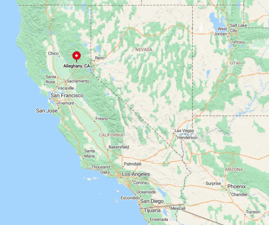
Alleghany rests deep in Sierra County’s North Yuba River country, 20 winding miles east of Highway 49. Sheer forested ravines hem in the hamlet, so radios crackle out and mail still arrives by four-wheel-drive truck.
Reaching town requires following paved yet narrow Ridge Road from Downieville or the gravel Mountain House route from Nevada City, both laced with hairpin turns. Those who brave the drive are rewarded with a chilled pint at 4,500 feet and absolute silence afterwards.
9. Clio – Plumas County
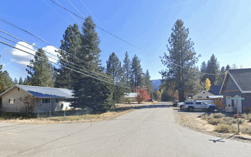
Clio may post a population sign of just over 60, but summer cabin owners and fly-fishers swell the headcount without ever crowding the riverside meadow lots. The Middle Fork Feather River bends gently along the town edge, delivering blue-ribbon trout and swimming holes where granite warms in the afternoon sun.
Antique hunters browse the lone mercantile while mountain bikers slip onto the hidden Mills Peak Trail system less than a mile away. Nights are for campfires under Douglas-fir canopies, with train whistles from the distant Union Pacific line the only reminder of industry.
Locals gather each July for the Clio Chicken Races, a quirky event unknown outside the valley that funds the volunteer fire station. With the nearest stoplight more than fifty miles away, Clio’s handful of homes offer a rare mix of tranquility and playful spirit.
Where is Clio?
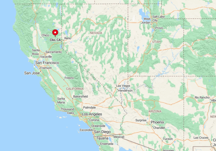
The village sits along Highway 89 in eastern Plumas County, about ten minutes south of Graeagle and forty-five minutes north of Truckee. Meadow flats and river oxbows create a broad, sunny break in the surrounding conifer forest, making the geography feel welcoming yet hidden.
Visitors typically exit Interstate 80 at Truckee, then climb over Yuba Pass before descending to the river plain. Public transit does not reach this far, so arrival means steering two-lane blacktop that often becomes a snow canyon from December through March.
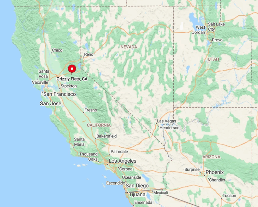
8. Grizzly Flats – El Dorado County
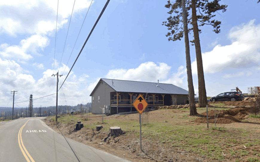
Grizzly Flats is rebuilding after the 2021 Caldor Fire, yet around 1,000 hardy residents remain committed to its high-elevation peace and spacious parcels. New cabins rise on cleared two-acre lots where stumps provide natural stargazing seats, and community fire pits are becoming informal gathering spots.
Daylight hours see locals exploring the Mormon Emigrant Trail or hunting for morels among regenerating doghair pines. The nearby North-South Road opens summer access to hidden fishing holes on the North Fork Cosumnes River, untouched by crowds.
Volunteers have revived the tiny library, turning it into a hub for tool-sharing and movie nights. Despite the challenges, the settlement’s altitude grants snow play opportunities that valley residents must drive hours to find.
Where is Grizzly Flats?
Would you like to save this?
The community lies about twenty miles south of Pollock Pines, up a series of switchbacks that climb to roughly 4,000 feet in the Eldorado National Forest. Thick timber and steep canyons wrap the plateau, giving Grizzly Flats both its name and its remoteness.
Access starts on Highway 50, then branches south on Sly Park Road and Sciaroni Road before the pavement finally straightens near town. Travelers often lose cell data after leaving Pollock Pines, so downloading maps beforehand is wise.
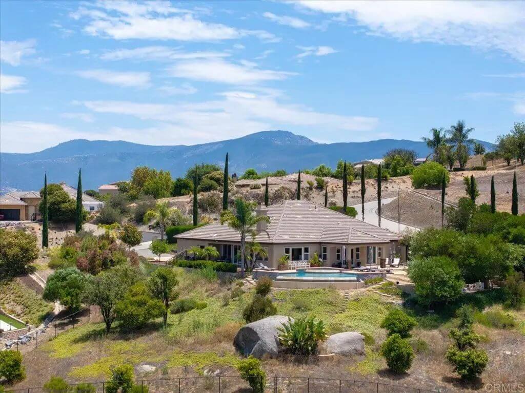
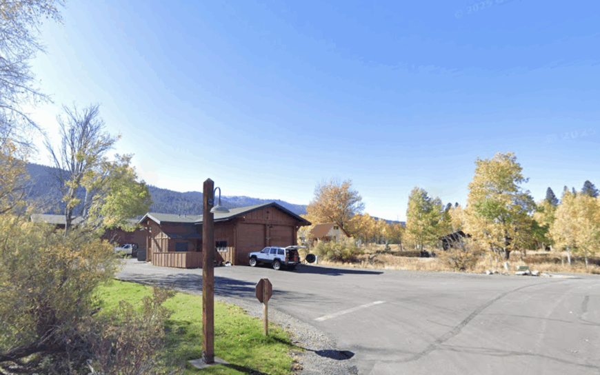
7. Whitehawk Ranch – Plumas County
Whitehawk Ranch blends luxury with quiet in a gated enclave of fewer than 300 full-time residents spread across meadow lots edged by a million-acre national forest.
Residents tee off on the 18-hole championship course at sunrise, then trade golf shoes for hiking boots on the unmarked Jamison Creek spur that locals keep off social media. Evenings bring gatherings at the rustic barn community center, where neighbors swap gardening tips and share sips of Lost Sierra-grown pinot.
Despite amenities, covenants limit short-term rentals, maintaining the sense of retreat. Wildlife spotting runs high; it’s common to see a sandhill crane strolling across the ninth fairway. The HOA maintains dark-sky lighting rules, so meteor showers become neighborhood block parties conducted under blankets.
Where is Whitehawk Ranch?
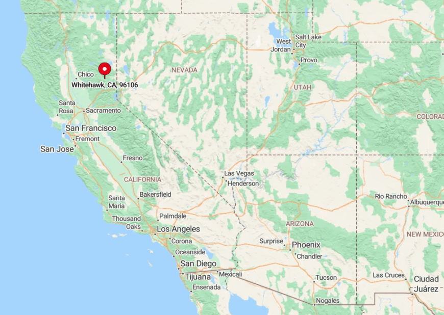
Whitehawk Ranch sits along Highway 89 near Clio, roughly an hour north of Truckee and half an hour east of Quincy. The community nestles against the Sierra Crest’s eastern foothills, granting long views across Mohawk Valley while remaining shielded from highway noise by a natural moraine.
Visitors check in at a staffed gate just off A-15/Portola-McLears Road, ensuring that only owners and their guests venture beyond the meadow entrance.
During winter, the plowed private roads stay navigable even when neighboring lanes vanish under drifts, allowing residents to enjoy the surrounding backcountry ski terrain without battling chain controls.
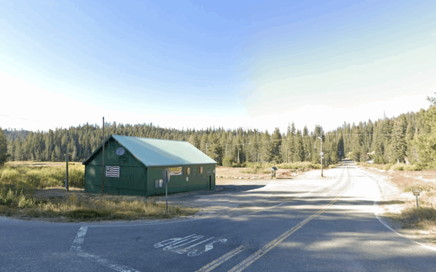
6. Bucks Lake – Plumas County
Bucks Lake counts fewer than twenty hardy souls in winter, yet its summer cabin population multiplies as families open rustic retreats tucked into one-acre forest clearings.
The 1,800-acre reservoir forms the community’s watery heart, providing glassy morning paddles, osprey watching, and secret cliff-jumping spots known only to locals. Trails radiate into 50,000 acres of undeveloped forest, including the little-traveled Mill Lake loop where wild huckleberries stain hikers’ fingers purple.
From November to May, county plows stop eight miles short, turning the access road into a groomed snowmobile trail and sealing in winter silence. Residents mark the seasons by ice thickness, not by calendar pages, and host moonlit ski potlucks on the dam when conditions allow.
With no cell service or grid power in many cabins, kerosene lanterns and crackling radios foster a nostalgia difficult to replicate elsewhere.
Where is Bucks Lake?
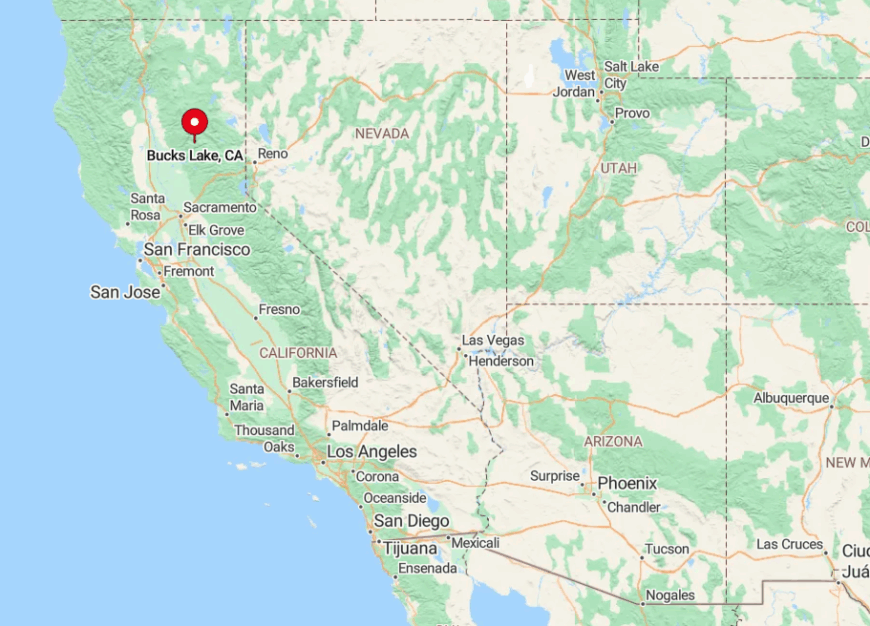
Bucks Lake lies southwest of Quincy in Plumas County, reached by Bucks Lake Road that climbs from Meadow Valley before wrapping around serpentine granite shorelines. Volcanic ridges encircle the basin at 5,200 feet, creating a weather pocket famous for heavy snow and cool summer nights.
Summer visitors can approach from Oroville via the Oro-Quincy Highway, but winter closures make the Quincy route the sole option until the snow melts. Adventurous guests sometimes arrive via snowcat charters, a novelty transport that underscores just how removed the neighborhood becomes each cold season.
5. Sierra Brooks – Sierra County
Sierra Brooks sprinkles roughly 500 ranchettes across rolling sagebrush hills on the east side of Sierra Valley, California’s largest alpine meadow. The three-plus-acre parcels allow space for barns, solar arrays, and small hobby herds, giving the community a modern homestead vibe.
Residents ride horses on the community’s dedicated greenbelt trails or launch kayaks at nearby Frenchman Lake, a spot many Bay Area travelers have never heard of. Birders flock in spring to witness thousands of sandhill cranes dancing above the valley marshes, a spectacle visible right from back decks.
Potlucks at the volunteer-run Vinton Hall create social glue, featuring locally raised beef tacos and bluegrass picked by neighbors. Evenings end with sunsets that spill orange over the valley floor, unbroken by streetlights.
Where is Sierra Brooks?
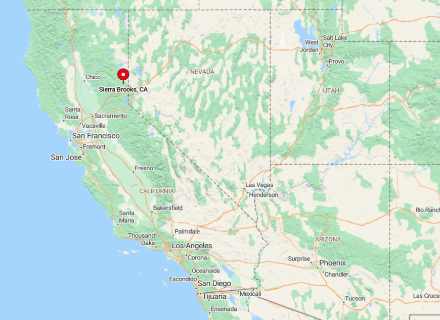
The subdivision sits eleven miles east of Loyalton, accessed via Highway 49 and Antelope Valley Road in remote Sierra County. It’s perch on a gentle terrace grants panoramic views of the Sierra Buttes to the west and the Diamond Mountains to the east.
The Reno-Tahoe International Airport lies only fifty-five scenic miles away, making Sierra Brooks more reachable than its quiet demeanor suggests. Winter weather seldom closes roads completely, but gusty downslope winds can make the final unstriped mile feel like a frontier adventure.
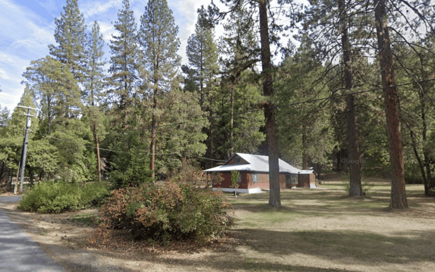
4. Strawberry Valley – Yuba County
With a census count hovering near 100, Strawberry Valley scatters homesteads across broad mountain meadows that explode with crimson Indian paintbrush each June. The original stage stop still stands as a private residence, while the volunteer fire station doubles as a weekly potluck hall serving home-baked berry pies.
Outdoor pursuits dominate, from snowshoeing on La Porte Road to trout fishing in the lesser-known Slate Creek forks. Autumn brings mushroom hunters collecting matsutake beneath fir stands that perfume the air after rain.
Children here learn to ride ATVs before bicycles, thanks to a patchwork of old logging spurs that lace the hills. Visitors whisper about the natural granite waterslides on the nearby Yuba River’s North Fork, a cool secret on hot August afternoons.
Where is Strawberry?
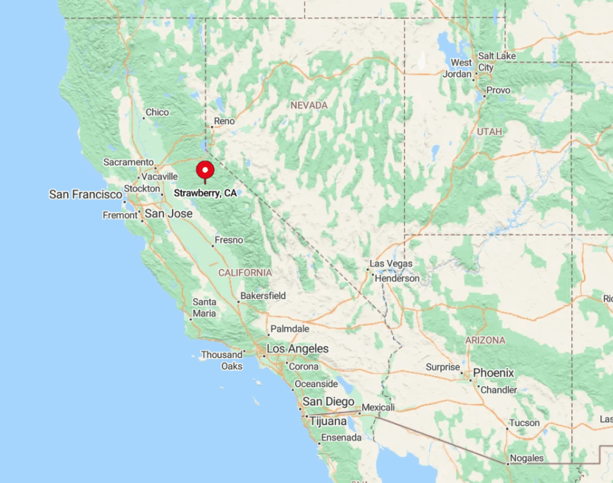
Strawberry Valley lies twenty-five miles northeast of Challenge on winding La Porte Road, midway between Marysville and Quincy in the northern Sierra. Hills of thick fir shield the flat valley, muffling any hint of distant highways.
The best approach from Sacramento follows Highway 70 to Oroville, then Forest Route 119 to enjoy vistas of Feather River canyons. In winter, chains are mandatory, and occasionally the CHP turns back traffic at Howland Flat, preserving the settlement’s calm until spring thaw.
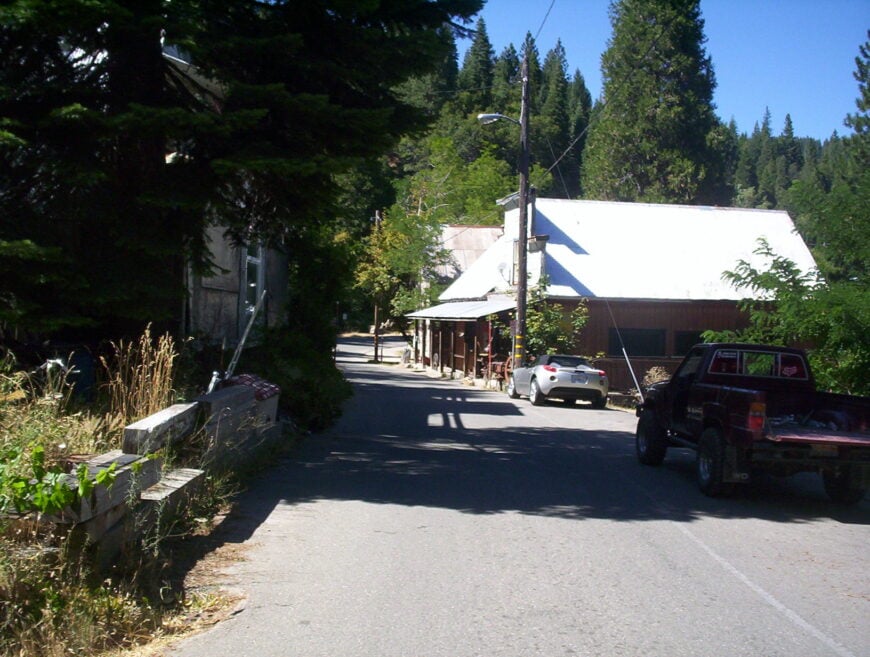
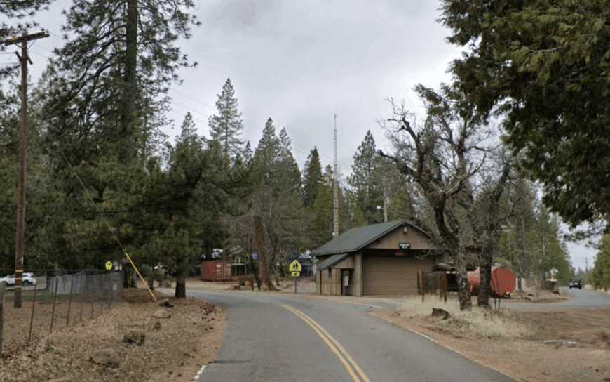
3. Keddie – Plumas County
Tucked beneath towering pines where Spanish Creek meets Indian Creek, Keddie houses fewer than 70 residents in rustic cabins scattered along the forest floor.
The historic Keddie Wye railroad trestle, a rare three-way junction that curves above the canyon, draws railfans with telephoto lenses but leaves the neighborhood itself serenely untouched. Hikers find secret swimming holes under the trestle’s shadow and explore the decommissioned rail grade toward Paxton.
The community hosts potlucks at the former depot, whose waiting room now showcases black-and-white photos of steam locomotives. Ghost-story enthusiasts come for tales of the unsolved 1981 cabin murders, though locals politely change the subject after sundown.
With Quincy only a dozen miles away but invisible behind ridges, Keddie offers a blend of accessible services and deep-forest quietude.
Where is Keddie?
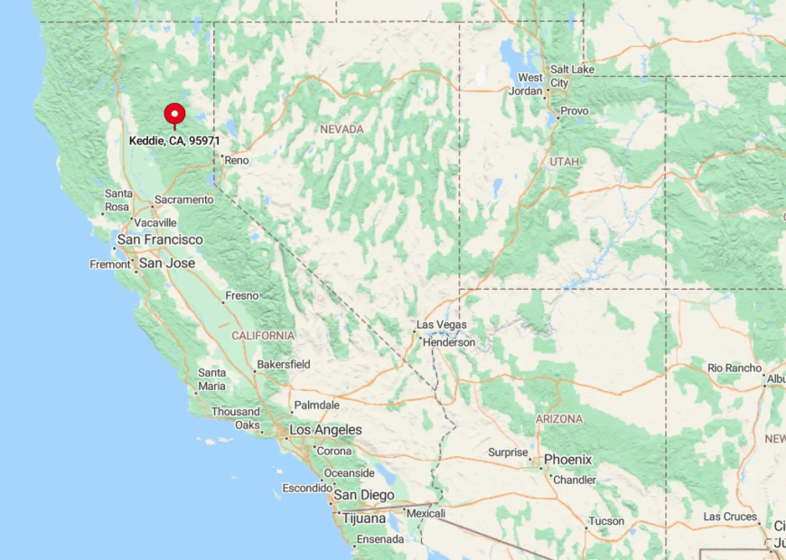
Keddie sits just off Highway 70 in Plumas County, a short drive north of Quincy yet hidden by the winding Feather River canyon. Steep slopes and thick conifers block line-of-sight, so motorists often pass the turnoff without realizing a settlement exists beyond the single-lane bridge.
Access involves turning onto Old Highway Road and crossing the one-car timber bridge that rattles pleasantly beneath tires. Passenger trains still glide across the trestle overhead, giving residents a dramatic, if intermittent, soundtrack.
2. Omo Ranch – El Dorado County
Omo Ranch strings a handful of ranchettes along gentle ridges inside the vast Eldorado National Forest, with just about 150 people claiming mailing addresses here. Five-acre parcels give room for gardens, goats, and Victorian-style chicken coops crafted from repurposed barn wood.
Weekends often feature informal equestrian parades down Quartz Mountain Road, culminating in potlucks at the century-old community hall. The night sky dazzles; satellites outnumber porch lights, and meteor showers feel close enough to touch.
Nearby, the little-known Bassi Falls Trail rewards hikers with thunderous spring runoff and zero crowds before 10 a.m. Hunters, herbal foragers, and amateur botanists all cherish the diversity created by the area’s granite ridges and hidden wet meadows.
Where is Omo Ranch?
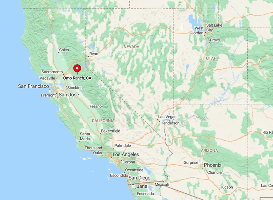
The settlement lies about thirty-two miles southeast of Placerville, branching off Highway 49 onto the narrow Omo Ranch Road. Flanked by dense cedar and black oak stands, the route weaves above the Middle Fork Cosumnes River, then levels out on a plateau at 3,600 feet.
Because the road is the only paved access, traffic amounts to a handful of timber trucks and postal vans each day. Winter storms can topple trees across the roadway, so locals keep chainsaws in truck beds to ensure the outside world can still be reached when necessary.
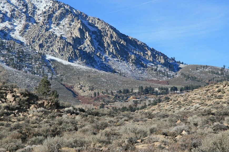
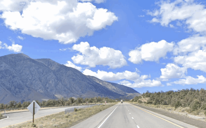
1. Swall Meadows – Mono County
Would you like to save this?
Swall Meadows perches on a high sagebrush mesa south of Crowley Lake, where around 220 residents share panoramic views of the granite Sierra escarpment to the west and the vast Owens Valley to the east.
Custom homes sit on multi-acre horse properties bordered by Bureau of Land Management open space, ensuring that equestrians and mule deer outnumber neighbors. The area serves as a launchpad for rock climbers tackling the nearby Owens River Gorge and backcountry skiers skinning toward Mount Tom’s bowls.
Spring brings a bloom of scarlet desert paintbrush that contrasts sharply with lingering alpine snowfields overhead. A hidden highlight is the Swall Wildlife Preserve, a 40-acre parcel where the rare bi-colored paintbrush grows, and evening bat walks are organized for residents.
With no streetlights and only satellite internet, evenings revolve around telescopes, fireplaces, and an almost tangible quiet.
Where is Swall Meadows?

Swall Meadows lies in southern Mono County just off U.S. Highway 395, roughly twenty-five miles north of Bishop and forty miles south of Mammoth Lakes. A single paved lane, Lower Rock Creek Road, climbs from the valley floor, twisting past aspen groves brilliant in October.
Cyclists favor the road’s smooth asphalt and minimal traffic, while winter drivers carry chains due to shaded hairpins that ice over quickly. The community’s elevation above 7,000 feet grants cool summers and seclusion but also means residents must haul groceries up from Bishop, fostering thoughtful provisioning.