Would you like to save this?
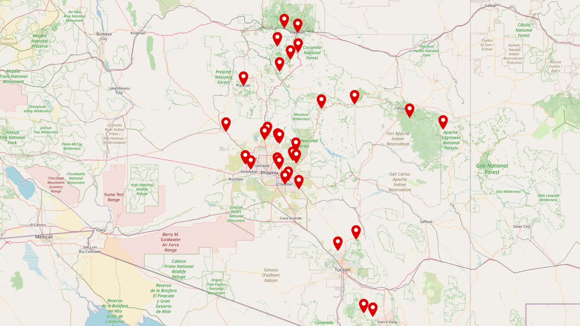
Arizona hides some of its most peaceful communities deep inside canyon country, where high rock walls muffle highway noise and dirt lanes replace suburban grids.
We gathered 10 neighborhoods that put distance between residents and the modern bustle without sacrificing mountain air, star-filled skies, and quick access to world-class hiking or fishing.
Each enclave sits in or beside a dramatic canyon carved through desert, pine forest, or volcanic rim, offering a quiet that city dwellers rarely experience. Far from feeling isolated, these places nurture tight-knit groups who meet at volunteer fire stations, trailheads, and local potlucks.
Many homes run on solar or spring water, and wildlife sightings outnumber delivery trucks. Join us as we count down the state’s most secluded canyon retreats.
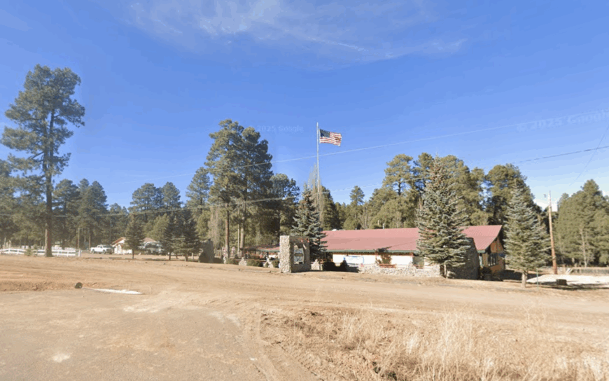
10. Portal – Cave Creek Canyon
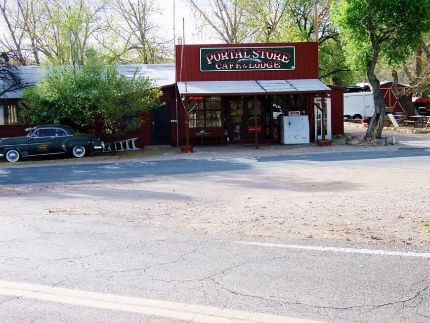
Portal spreads a handful of homesteads along the east mouth of Cave Creek Canyon, where pink rhyolite cliffs rise a thousand feet above shady cottonwoods. Birders flock to the area for elegant trogons and other species rarely seen north of Mexico, yet daily traffic seldom tops a dozen vehicles.
Residents spend weekends exploring the South Fork Trail, stargazing at the public telescopes behind the Visitor Center, or swapping stories at the tiny Portal Café. Homes usually sit on one-plus-acre lots, giving folks space to keep horses or set up observatories in yards unspoiled by streetlights.
The community census hovers near 150 full-time inhabitants, though summer monsoon storms bring a short influx of scientists working at the nearby research station. We love how the canyon walls act like natural sound barriers, wrapping every porch in surprising stillness.
Where is the Portal?
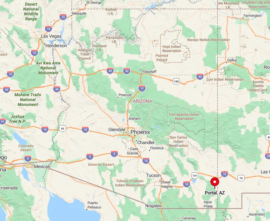
The village rests in Cochise County, five miles west of the New Mexico line and about a two-hour drive southeast of Willcox. Cave Creek slices through the Chiricahua Mountains here, creating lush riparian ribbons that contrast with the surrounding desert grassland.
Travelers reach Portal by leaving I-10 at Exit 382, following Highway 80 to Rodeo, then climbing north on Portal Road until pavement stops. The last stretch is graded gravel, a fitting gateway to one of Arizona’s quietest pockets.
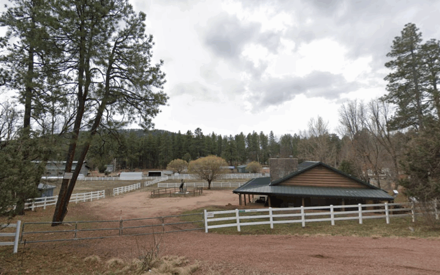
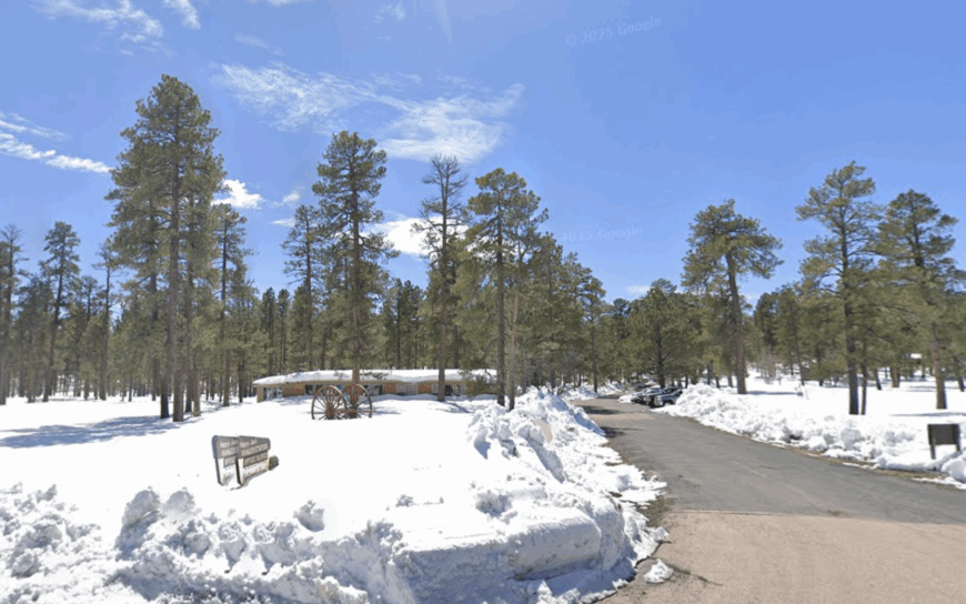
9. Forest Lakes – The Quiet Retreat near the Mogollon Rim
Forest Lakes is a small, close-knit community with an estimated population of about 300 residents. The area is ideal for outdoor enthusiasts, offering hiking, fishing, and boating opportunities at nearby reservoirs. The main local industries revolve around tourism, vacation rentals, and small-scale retail catering to visitors.
Forest Lakes’ location along the Mogollon Rim provides natural beauty combined with a peaceful atmosphere.
What makes Forest Lakes secluded is its distance from major highways and urban centers, nestled among pine forests and rugged canyon edges. This isolation gives residents a strong sense of privacy and connection to nature.
Where is Forest Lakes?
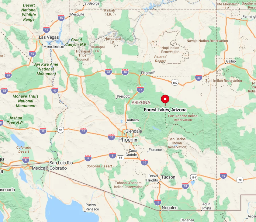
Forest Lakes sits on the northern edge of the Mogollon Rim in central Arizona, within Coconino County. The community is tucked away amid forested hills, separated from busy towns by miles of wilderness.
Access is via Forest Lakes Road off Highway 260 near Payson, which winds through scenic forest areas. This drive through mountainous terrain emphasizes the community’s remote and tranquil setting.
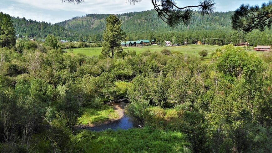
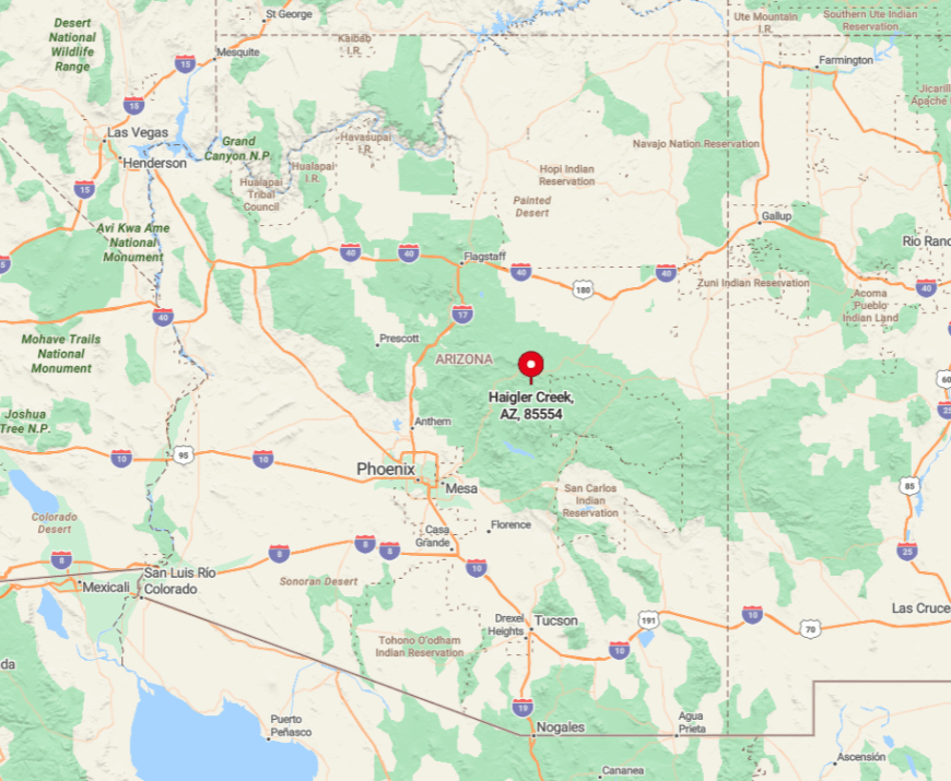
8. Haigler Creek Estates – Mogollon Rim
Haigler Creek Estates strings together rustic cabins along the trout-filled bends of Haigler Canyon, twenty-five miles east of Payson but worlds away in atmosphere.
Anglers step off back decks straight onto riffles stocked with rainbow trout, while hikers ascend switchbacks to the Mogollon Rim for sweeping views across the Tonto Basin. The neighborhood contains no stores, streetlights, or even mail delivery; residents gather their parcels at a forest-service kiosk two miles up the road.
Each wooded lot spans at least an acre, cloaked in tall ponderosa pines that keep summer temperatures several degrees cooler than Phoenix.
About eighty full-time residents share this stretch, swelling slightly during summer when families reopen seasonal cabins. First-time visitors should go to the hidden waterfall just upstream, reachable by a faint fishermen’s path locals quietly maintain.
Where is Haigler Creek?
Would you like to save this?
Located in Gila County, the subdivision hugs Forest Road 200 off Highway 260 between Christopher Creek and Young. Haigler Canyon slices through sandstone ledges here, creating a ribbon of emerald water beneath the towering Rim escarpment.
The final eight miles are gravel but usually passenger-car friendly, winding through mixed conifer forest before ending at the community gate. Cell service drops out halfway in, which many residents list as a prime selling point.
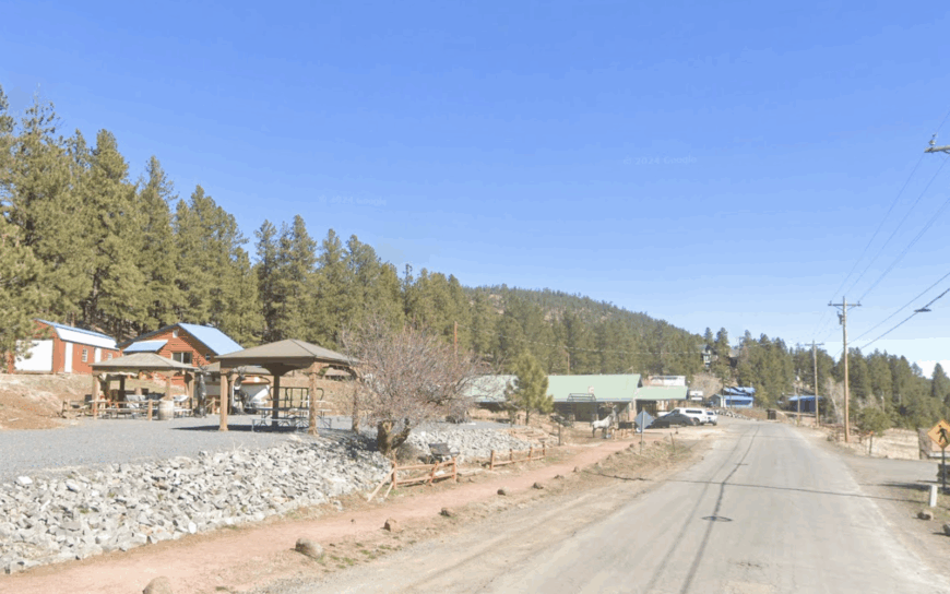
7. Happy Jack – The Hidden Gem on the Rim
Happy Jack is a very small community with fewer than 100 year-round residents, known for its serene atmosphere and rustic charm. The area is popular for hunting, hiking, and horseback riding, attracting outdoor lovers looking for tranquility.
The local economy is modest, mostly revolving around cabin rentals and tourism services. Happy Jack’s seclusion comes from its high elevation, limited road access, and location deep within forested lands.
Its quiet environment is a draw for those seeking escape from urban noise and crowds. The dense forest canopy and surrounding canyons contribute to its feeling of being tucked away from the world.
Where is Happy Jack?

Happy Jack lies just west of the Mogollon Rim in northern Gila County. It’s nestled among dense pine forests and sits at an elevation of roughly 7,500 feet.
The community is accessed primarily via Forest Road 287 from Highway 87, a scenic route that meanders through remote forest areas. This limited access enhances the area’s isolation and peaceful ambiance.
6. Greer – The Mountain Village Surrounded by Wilderness
Greer is a quaint village of about 150 residents, known for its cool climate and outdoor recreation opportunities like trout fishing and hiking. The village’s economy is built around tourism, seasonal rentals, and hospitality, with many visitors attracted to its natural beauty.
Greer’s seclusion comes from its remote location in the White Mountains and the rugged canyons surrounding it, providing a quiet mountain escape. The nearby Apache-Sitgreaves National Forest offers miles of wilderness and limited development.
The village remains small and isolated, perfect for those seeking solitude in nature. This environment nurtures a close community with a shared love of the outdoors.
Where is Greer?
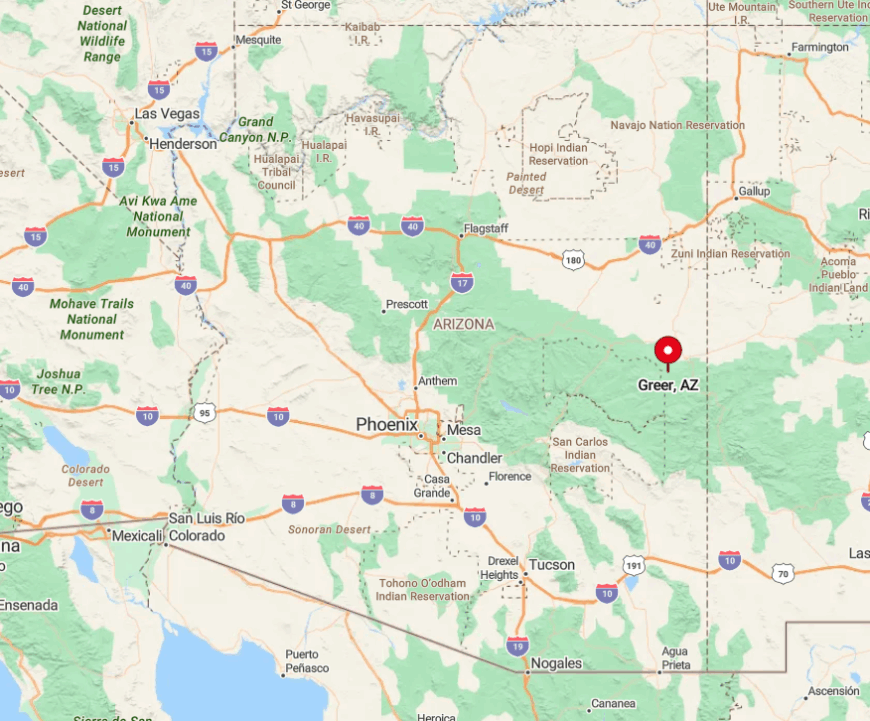
Greer is located in eastern Arizona’s Apache County, high in the White Mountains near the New Mexico border. The village is surrounded by steep forested canyons and river valleys.
Access is primarily by Highway 373 from Highway 260, a winding mountain road with minimal traffic. The location’s elevation and limited roadways contribute to its peaceful, secluded character.
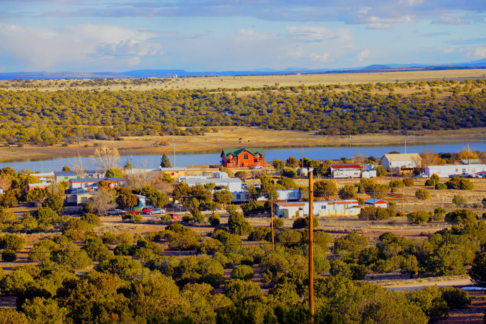
5. Pleasant Valley Homesteads – Young
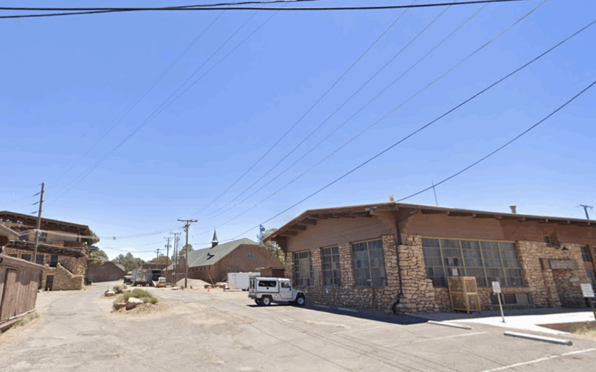
Pleasant Valley Homesteads occupies a high grassy basin outside the tiny town of Young, sandwiched between Workman and Cherry Creeks and encircled by pine-clad hills. Lots range from one to five acres, and the absence of streetlights makes the Milky Way an every-night spectacle.
Locals gather at Antlers Café for Friday fish fry before disappearing to tend gardens, ride ATVs up Milk Ranch Point, or volunteer with the community fire district. With the nearest highway fifty miles away, weekend traffic is almost nonexistent, leaving mornings quiet enough to hear turkeys rustle through oak leaves.
Permanent population sits near 200, swelling during rodeo season when families open summer cabins that date back to the Pleasant Valley War era. We recommend newcomers hike the nearby Babe Haught Trail, which climbs to secret aspen glades few tourists ever see.
Where is Pleasant Valley?
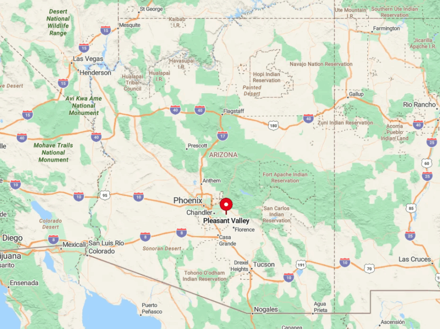
The enclave lies in Gila County off State Route 288, a scenic byway connecting Globe and Payson over the Mogollon high country. Two gravel spurs, Chamberlain Trail and Baker Ranch Road, loop through the homesteads before dead-ending at creek crossings.
Geography places the community in a shallow valley that blocks radio signals, prompting most homes to rely on satellite internet. Visitors from Phoenix typically budget three hours for the drive, the last ninety minutes of which follow winding, unpaved forest roads.
4. Crown King – Lynx Creek Canyon
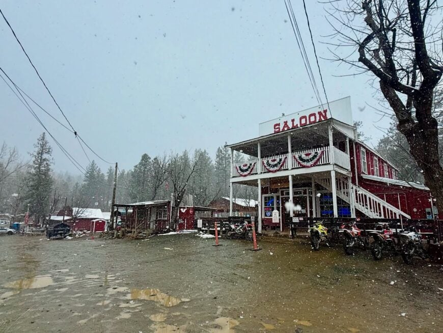
Crown King clings to a steep canyon wall in the Bradshaw Mountains, its weathered boardwalk and century-old saloon recalling a rowdy mining past. Today, hillside cabins nestle among ponderosa pines while deer browse undisturbed in vacant lots fronted by split-rail fences.
Residents pass weekends panning flecks of gold in nearby Lynx Creek, sipping locally roasted coffee at the General Store, or tackling the challenging 4×4 trail up Cleator Road. Because the only access is a twenty-seven-mile dirt climb from Highway 69, casual day-trippers remain few and far between.
The year-round population of roughly 125 keeps community events intimate, with the annual Orange Blossom Festival doubling as a neighborhood reunion. We can’t talk about Crown King without praising the hidden swimming hole beneath Horsethief Basin Dam, a calm refuge known mostly to full-timers.
Where is Crown King?
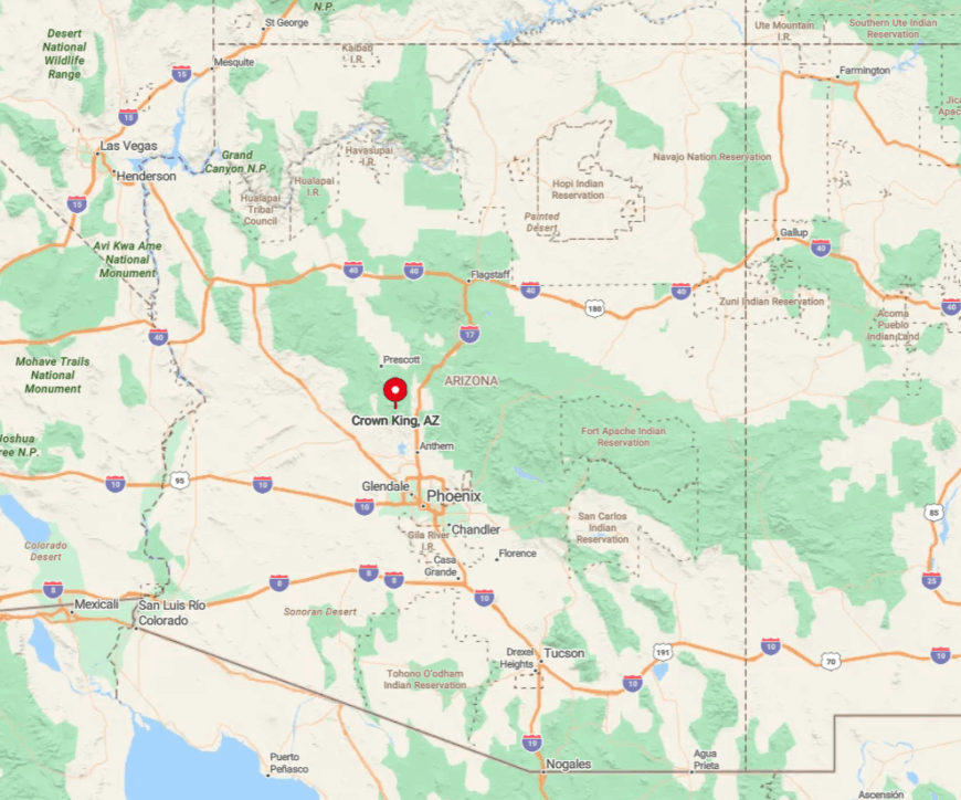
Crown King sits in Yavapai County at 5,700 feet elevation, tucked into a narrow canyon cut by Lynx Creek’s upper reaches. Surrounding ridges shield the town from Prescott Valley’s lights despite being only twenty miles as the raven flies.
Reaching it requires taking Exit 259 off I-17, then following dusty Crown King Road as it gains nearly 4,000 feet through chaparral and pine. Heavy rain can render the route slick, so residents often own both a grocery list and a grading shovel.
3. Jewel of the Creek – The Secluded Gated Community near San Pedro
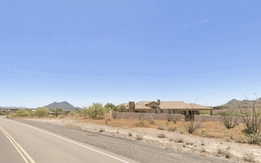
Jewel of the Creek is a small gated community with fewer than 100 residents, known for privacy and natural beauty. It offers hiking and birdwatching near the San Pedro River and surrounding canyons. The community has no major industries, focusing on residential living and eco-tourism.
Its seclusion comes from being gated and surrounded by protected natural land, limiting outside access and development. The peaceful surroundings make it a sanctuary for residents and wildlife alike.
Where is Jewel of the Creek?
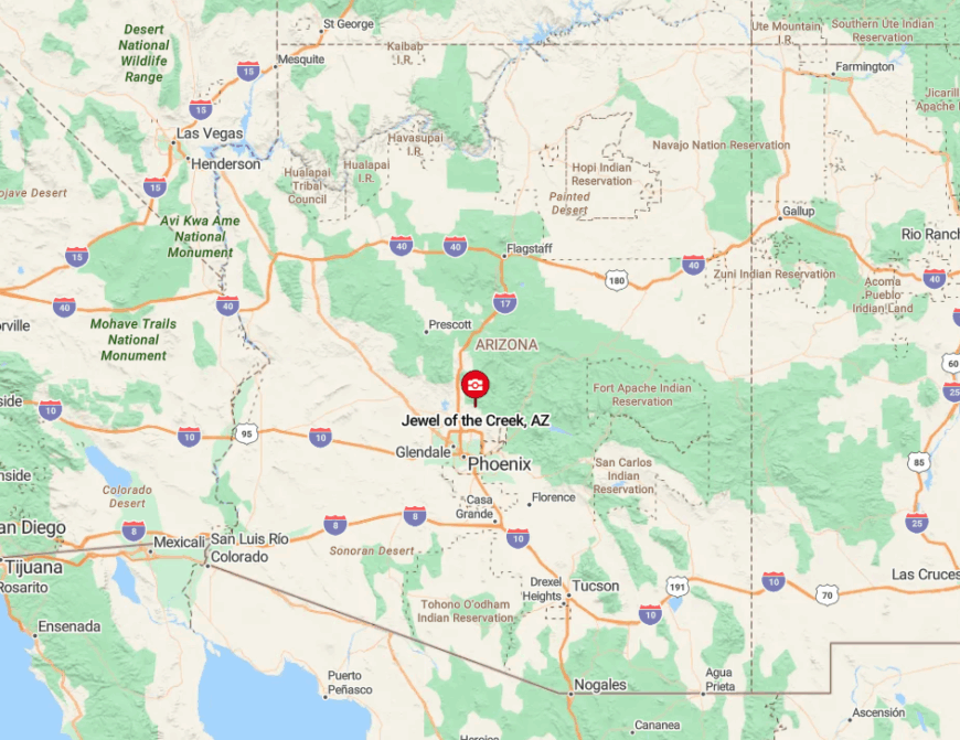
Jewel of the Creek is located in Cochise County, Arizona, near the San Pedro River north of Benson. It is nestled within the San Pedro Riparian National Conservation Area and adjacent canyonlands.
Access is via a private gated entrance off of Highway 90, surrounded by protected natural preserves. The gated roads and proximity to riparian canyons ensure a secure and remote feel.
2. Rock Springs – The Forested Community Near Prescott
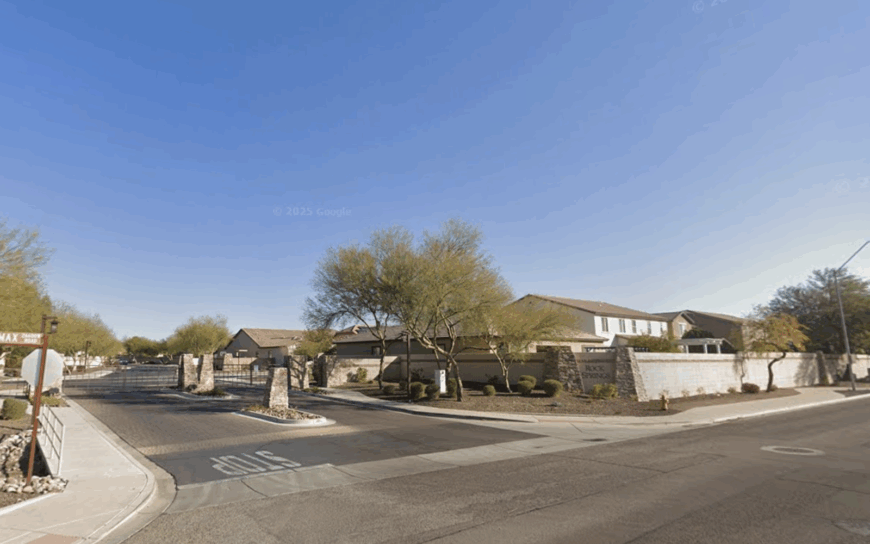
Rock Springs is a small, unincorporated area with around 500 residents, surrounded by dense pine forests and rolling hills. It offers hiking, horseback riding, and quiet country living.
The local economy is mostly residential, with some small-scale tourism and ranching. Its seclusion is due to being located away from Prescott’s urban center, surrounded by natural canyon and forest land. The community’s forested setting and limited roadways help maintain its privacy.
Where is Rock Springs?
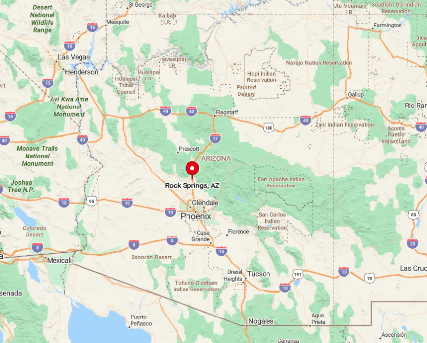
Rock Springs lies southwest of Prescott in Yavapai County, Arizona. It is nestled in a valley surrounded by Prescott National Forest and deep canyonlands.
The area is accessed via Forest Road 19 and other unpaved roads branching off from Highway 89. These rugged routes through forest terrain contribute to the area’s remote atmosphere.
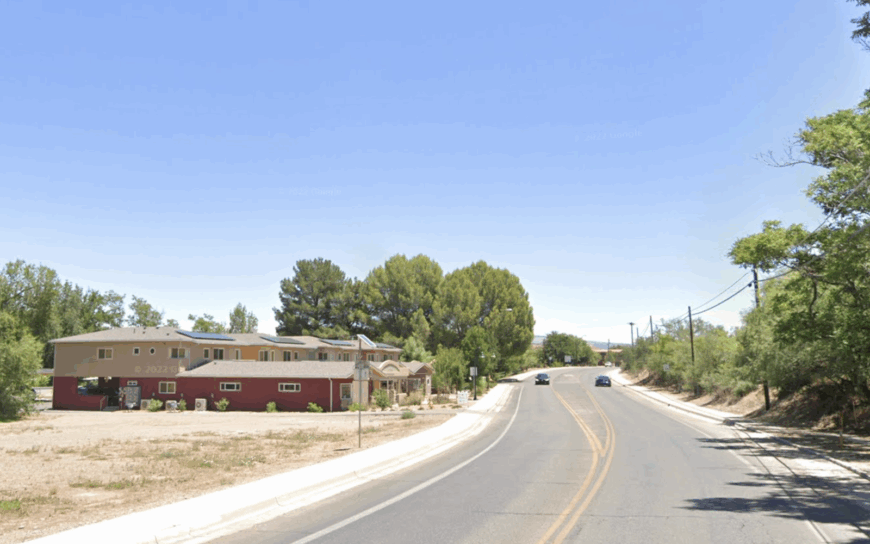
1. Sycamore Canyon Estates – Santa Rita Mountains
Would you like to save this?
Sycamore Canyon Estates nestles in mesquite-shaded foothills south of Sonoita, bordered on two sides by the Sycamore Canyon Wilderness that guarantees future development remains a distant rumor.
Residents spend mornings spotting elegant trogons along riparian corridors, afternoons sampling local vintages on shady verandas, and evenings listening to nightjars while cooling breezes spill off Mount Hopkins.
Parcels stretch five to ten acres, many entirely off-grid, so generators and well-share systems hum softly under starry skies. The nearest gas pump stands eighteen miles away, encouraging weekly town runs and well-planned pantry lists.
Roughly sixty full-time residents share this corner of Santa Cruz County, united by volunteer fire service duties and monthly potluck picnics under the big sycamore at Mile 5. We secretly favor the waterfall hidden in Diablo Canyon, reachable only after a mile of boulder-hopping that keeps the crowds away.
Where is Sycamore Canyon?
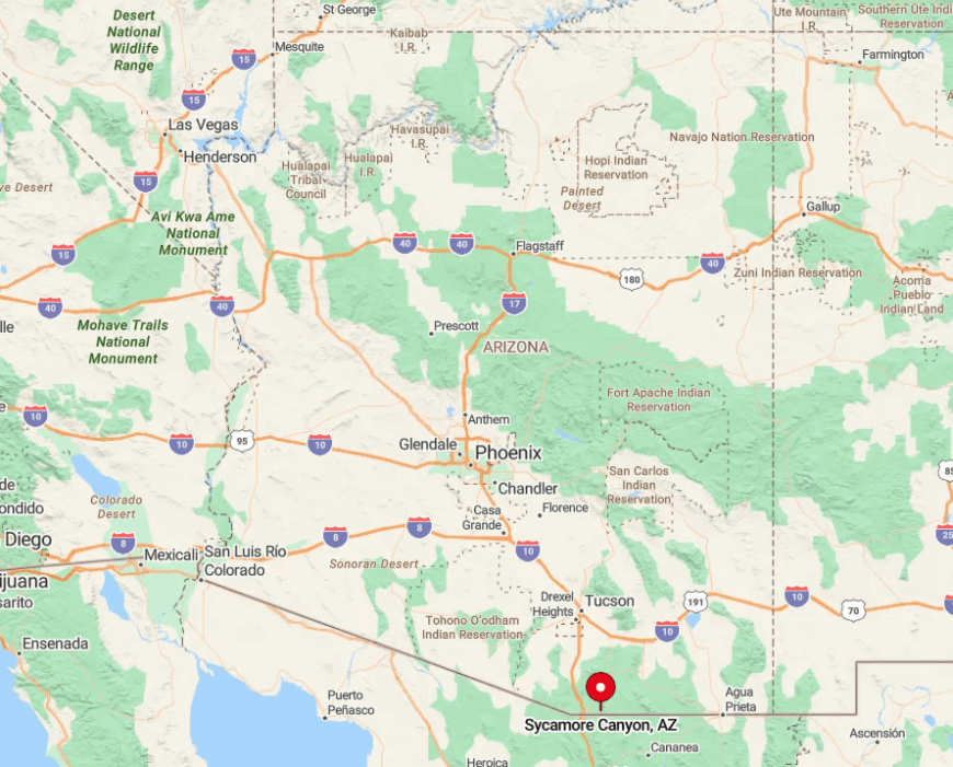
The neighborhood anchors the far southern end of Santa Cruz County, just three miles north of the Mexican border and west of State Route 82. Dramatic limestone walls funnel cool air through Sycamore Canyon, creating a microclimate that supports oaks and madrones uncommon at this latitude.
Motorists exit Highway 82 at the tiny community of Sonoita, head south on Forest Road 61, and drive eighteen washboard miles to reach the estates’ simple wooden sign. Because the road skirts open range, cattle and pronghorn often escort newcomers toward one of Arizona’s quietest canyon hideaways.