Would you like to save this?
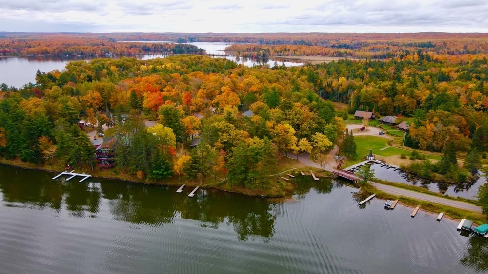
The western edge of Wisconsin hides a string of quiet townships where gravel lanes, kettle lakes, and oak-filled coulees keep neighbors at a comfortable distance. These places sit only a short drive from regional hubs yet feel far removed from traffic lights and strip malls.
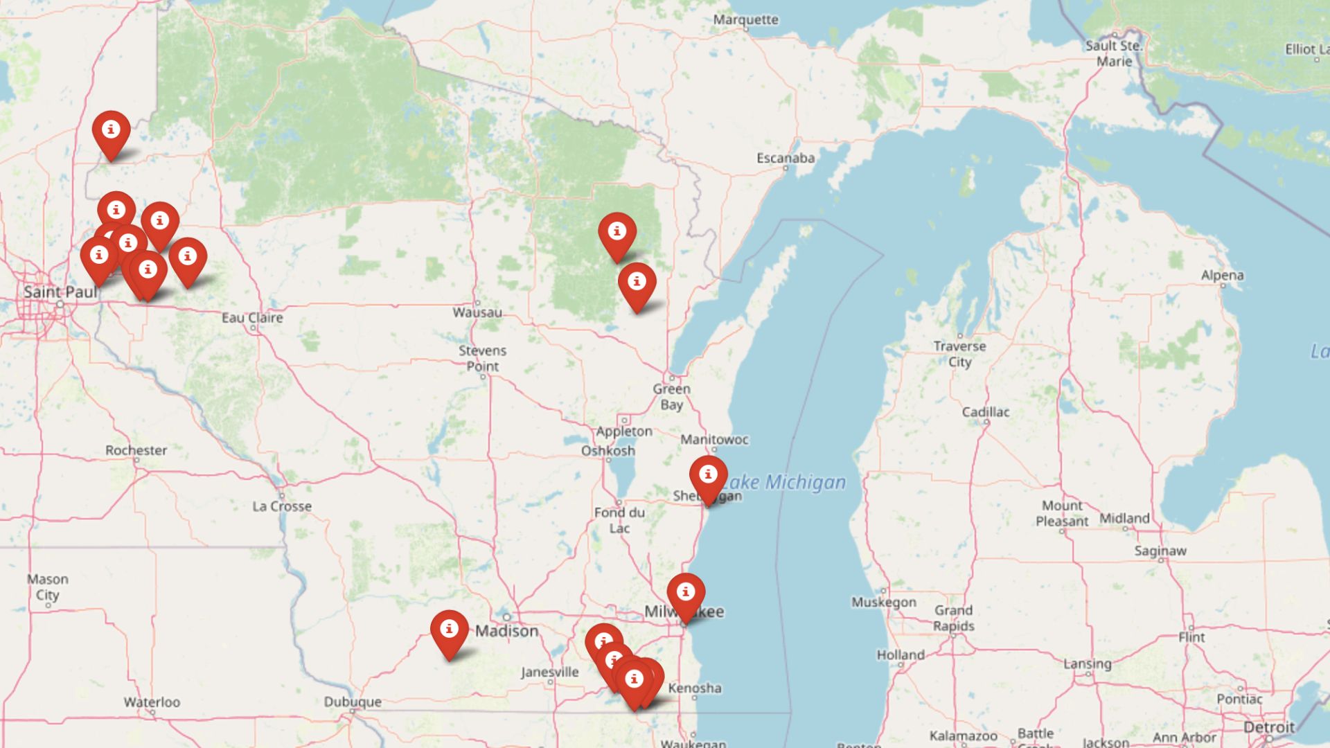
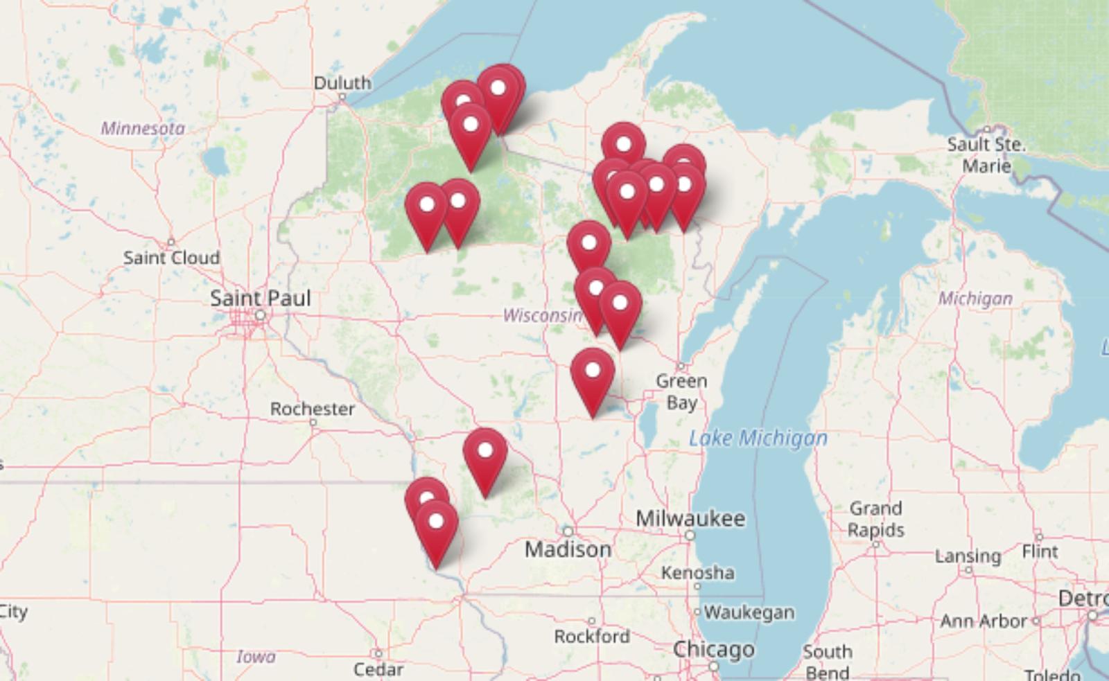
We chose 25 of our favorites, ranking them in countdown fashion, and focused on details visitors might miss if they only glanced from the highway. Expect star-streaked skies, trout streams that gurgle below sandstone bluffs, and back roads where meeting another car is rare.
Each town still supports a few long-running farms or family businesses, but the dominant feature is space. For anyone craving that low-key Upper Midwest pace, the following communities deliver it in spades.
25. Town of Waumandee, Buffalo County
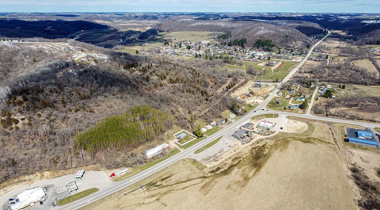
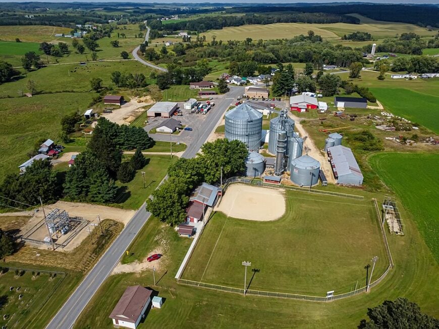
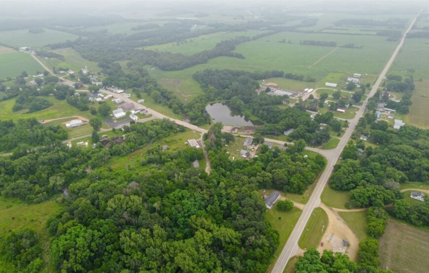
Waumandee is all soft ridgelines and hush—a farm valley guarded by bluffs that keep the wider world out. Seclusion comes naturally here: no interstates, few signs, and long stretches where the only traffic is wind through corn tassels.
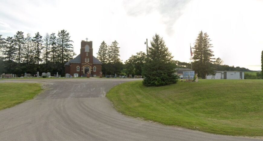
The vibe is old-country Catholic and farmstead practical, with steeples peeking over oak tops and barns painted the color of raspberries. Spend a morning hiking coulee lanes, pick apples at a hilltop orchard, or browse a volunteer-run museum in a former general store.
Trout slip through spring-fed creeks, and church suppers still fill the calendar like clockwork. Dairy and row-crop fields pay the bills, but quiet is the real currency. It’s the sort of valley that reminds you how patient time can be.
Where is Waumandee?
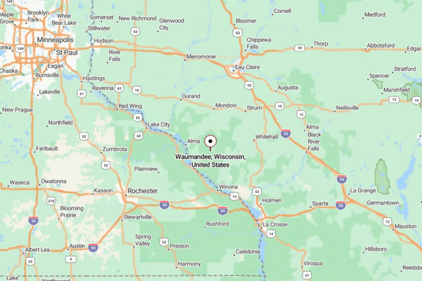
Waumandee sits in the hill country of central Buffalo County, about 12 miles southeast of Alma on the Great River Road. Most visitors turn off Wisconsin 35 and climb County E’s switchbacks into a maze of ridge farms.
Cell service fades as bluffs close in and roads narrow to two good lanes and a gravel shoulder. It’s close enough for a day trip, far enough to feel like you’ve stepped into an older map.
24. Town of Gilmanton, Buffalo County
Gilmanton feels like a quilt of fields and woodlots stitched with gravel seams, unhurried and a touch old-world. Its seclusion comes from deep coulees and long farm drives that keep neighbors out of view.
The town’s heartbeat is practical—dairy herds, hay wagons, and roadside stands stacked with sweet corn. Hike ridge spurs for big-sky views, fish the cool runs of a spring creek, or sip coffee at a café where the bulletin board is the local newspaper.
A vintage dance pavilion wakes up for summer polkas, then the hills reclaim the quiet. Agriculture is the anchor, with small sawmills adding their cedar-tinged perfume to the breeze. By evening, only whip-poor-wills and distant tractors keep time.
Where is Gilmanton?
Kitchen Style?
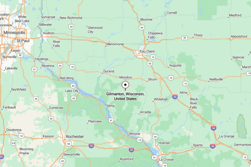
You’ll find Gilmanton in southeastern Buffalo County, roughly 20 miles south of Eau Claire if you follow back roads. Access comes off Wisconsin 121 and a tangle of county routes that rise and fall with the bluffs.
GPS is helpful but not necessary—just follow ridgelines and barn roofs. The last mile always feels like you’re arriving by invitation.
23. Town of Chimney Rock, Trempealeau County
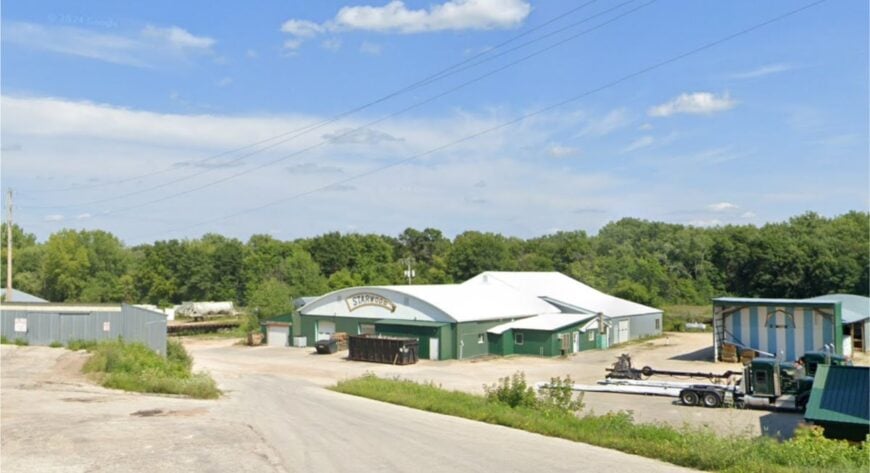
Chimney Rock hides behind high wooded shoulders, a township defined by its namesake knob and the trout creeks that lace its valleys. Seclusion is built in: narrow coulees, few straightaways, and a skyline of oak and maple that keeps the horizon close.
The mood is rustic and a little wild, with old sugar shacks, fieldstone foundations, and the scent of woodsmoke on cold evenings. Try a morning cast on Elk or Traverse Valley Creek, wander a ridge-top cemetery with sweeping views, or browse a roadside maple stand for syrup drawn steps away.
Logging and small beef operations share the land with hobby orchards. Streetlights are scarce and stars are generous. The quiet here feels sturdy and hand-hewn.
Where is Chimney Rock?
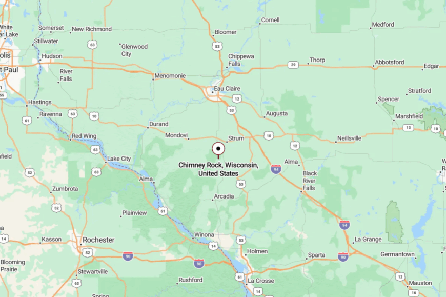
Chimney Rock lies in southern Trempealeau County, south of U.S. 10 and west of Wisconsin 93. Most travelers turn onto County Road V or G and settle into a rhythm of curves and creek crossings.
The bluffs choke off cell service in pockets, deepening the sense of being tucked away. By the time you see the limestone knob, the noise you left has already fallen behind.
22. Town of Burnside, Trempealeau County
Home Stratosphere Guide
Your Personality Already Knows
How Your Home Should Feel
113 pages of room-by-room design guidance built around your actual brain, your actual habits, and the way you actually live.
You might be an ISFJ or INFP designer…
You design through feeling — your spaces are personal, comforting, and full of meaning. The guide covers your exact color palettes, room layouts, and the one mistake your type always makes.
The full guide maps all 16 types to specific rooms, palettes & furniture picks ↓
You might be an ISTJ or INTJ designer…
You crave order, function, and visual calm. The guide shows you how to create spaces that feel both serene and intentional — without ending up sterile.
The full guide maps all 16 types to specific rooms, palettes & furniture picks ↓
You might be an ENFP or ESTP designer…
You design by instinct and energy. Your home should feel alive. The guide shows you how to channel that into rooms that feel curated, not chaotic.
The full guide maps all 16 types to specific rooms, palettes & furniture picks ↓
You might be an ENTJ or ESTJ designer…
You value quality, structure, and things done right. The guide gives you the framework to build rooms that feel polished without overthinking every detail.
The full guide maps all 16 types to specific rooms, palettes & furniture picks ↓
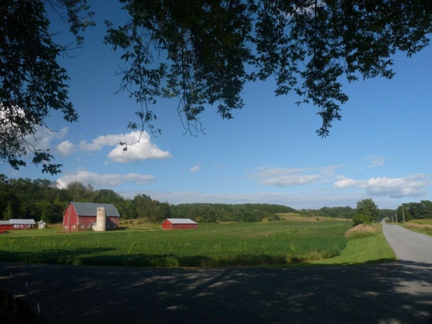
Burnside spreads across big, bowl-shaped valleys where farms sit like islands in a green sea. Its off-grid feel is the gift of distance and terrain—no major highways slice through, just county letters and gravel spurs that end at barns.
Expect a working landscape: red silos, tidy farmyards, and hay wagons trundling between fields. Walk an old town road for bluebird song, detour to a hilltop prairie remnant, or time a visit for a firehouse chicken dinner that pulls the township together.
Dairy is the day job; maple steam and machinery shows are the hobbies. With houses set a half-mile apart, darkness returns at dusk like a reliable friend. It’s a place that keeps its promises—and its peace.
Where is Burnside?
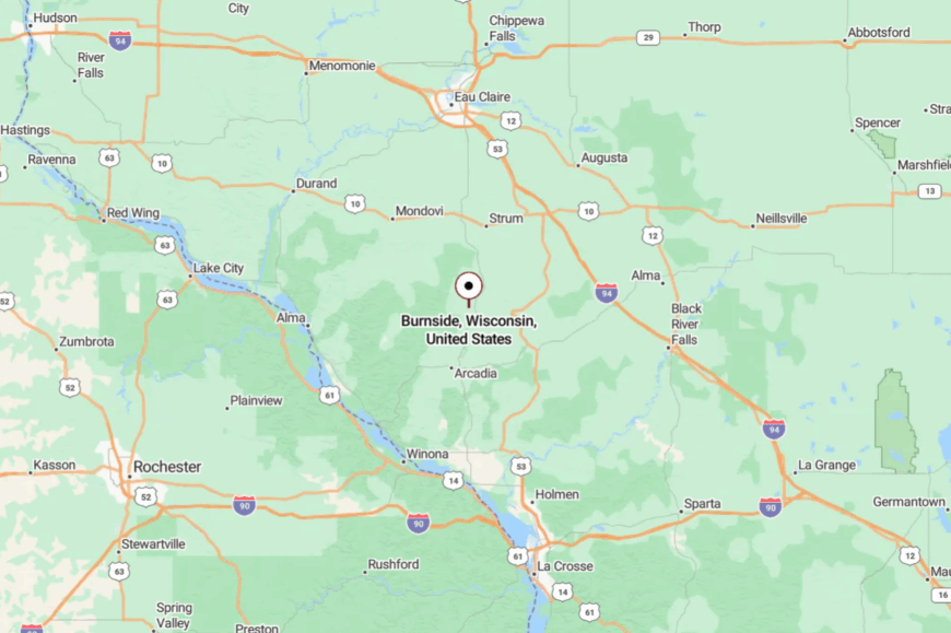
Burnside sits in eastern Trempealeau County, southeast of Arcadia and north of the Black River country. Reach it by slipping off Wisconsin 95 onto County J or H and letting the road choose your pace.
Curves and ridge drops slow everyone to local speed. The last sign you’ll notice is a hand-painted one pointing toward the pie.
21. Town of Drammen, Eau Claire County
Drammen is all pines and sandy lanes, the kind of place where deer beat you to the mailbox and the river out-sings the road. Seclusion is a feature, not a bug—long driveways, state forest buffers, and few reasons for strangers to pass through.
The vibe is woodstove-cozy and outdoorsy: ice skates hung by the mudroom, canoes stacked under a lean-to, blaze-orange in the closet come November. Paddle a quiet reach of the Eau Claire River, hike a two-track into jack pine barrens, or warm up with coffee at a grange hall meeting that still starts with names.
Logging and a sprinkle of remote workers keep the lights on. Nights are star-bright and wind-soft. Here, the quiet has depth.
Where is Drammen?
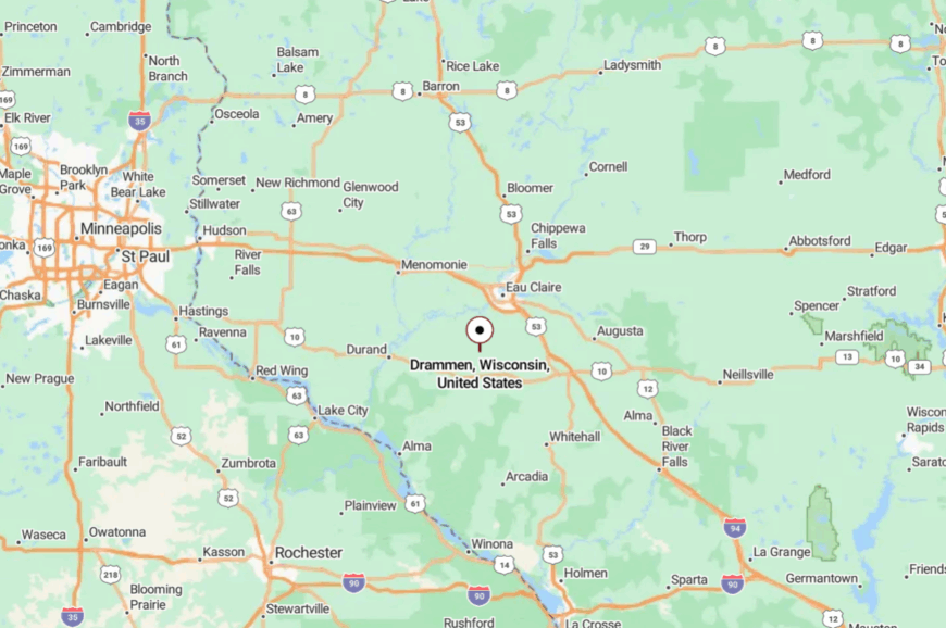
You’ll find Drammen in southeastern Eau Claire County, a few back-road miles south of Fall Creek. County Roads D and V bring you in, then give way to sand-bottom lanes with names you’ll remember but your GPS won’t.
The forest folds tight around the road in places, narrowing the world to trees and sky. It’s close to Eau Claire on paper and far from it in the ways that count.
20. Town of Otter Creek, Eau Claire County
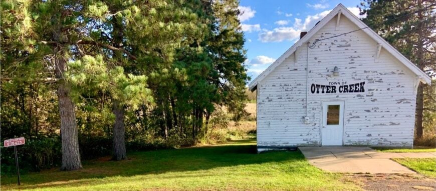
Otter Creek keeps a low profile—scattered farmsteads, a trickle of water living up to the name, and miles of prairie wind. Seclusion stems from distance to any city limits and the lack of a through highway.
Expect a plainspoken vibe: tidy fencelines, kitchen gardens, and tractors that know every bump in the lane. Walk the creek’s grassy edge for pheasants, explore a remnant oak savanna, or follow a sunrise gravel ride that loops past red barns and windbreaks.
Dairy and row crops set the tempo; small repair shops and maple stands fill the margins. Evenings distill to meadowlark notes and the click of a yard gate. It’s the sort of quiet that travels home with you.
Where is Otter Creek?
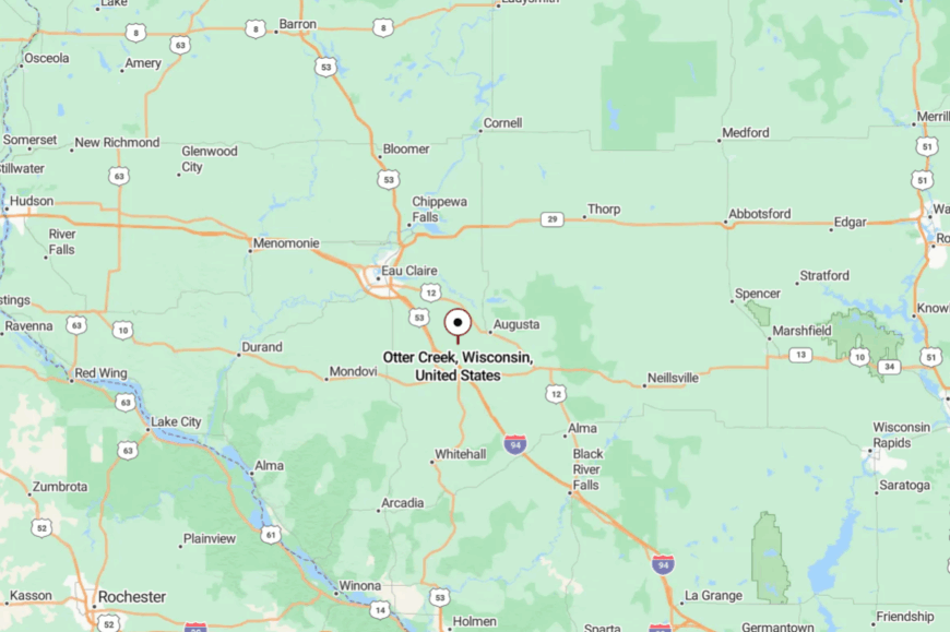
Otter Creek lies in south-central Eau Claire County, east of Wisconsin 37 and south of U.S. 12. The simplest approach is County Road JJ or B, after which you’ll trade stripes for gravel.
Low ridges break sightlines and help the cell bars dip. When the road narrows to a ribbon between fields, you’re there.
19. Town of Clear Creek, Eau Claire County
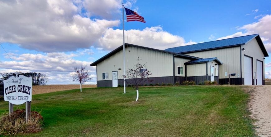
Clear Creek feels like a lowercase poem: gentle, spare, and full of light between the lines. Its secluded character comes from rolling ground, sparse development, and the way small creeks carve their own private corridors.
The mood is agrarian with hints of prairie restoration—big bluestem waving behind mailboxes, bluebird houses dotting fence posts. Birdwatch, walk a ridge at golden hour, cast a spinner into a shaded bend, or linger at a farmstand that sells eggs on the honor system.
Farm work is the backbone; seasonal logging adds a pine-scented accent. Night falls softly and thoroughly. The stars arrive like guests who know not to knock.
Where is Clear Creek?
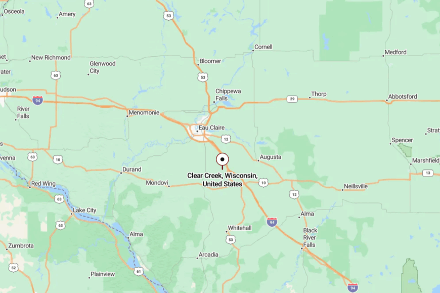
This township sits in southern Eau Claire County, between Wisconsin 37 and County I. Visitors peel off the highways and follow a ladder of right-angle section roads that tilt into valleys.
Signage is modest, but landmarks—silos, a chapel, a creamery—do the guiding. The last curve always reveals more sky than you expect.
18. Town of Sand Creek, Dunn County
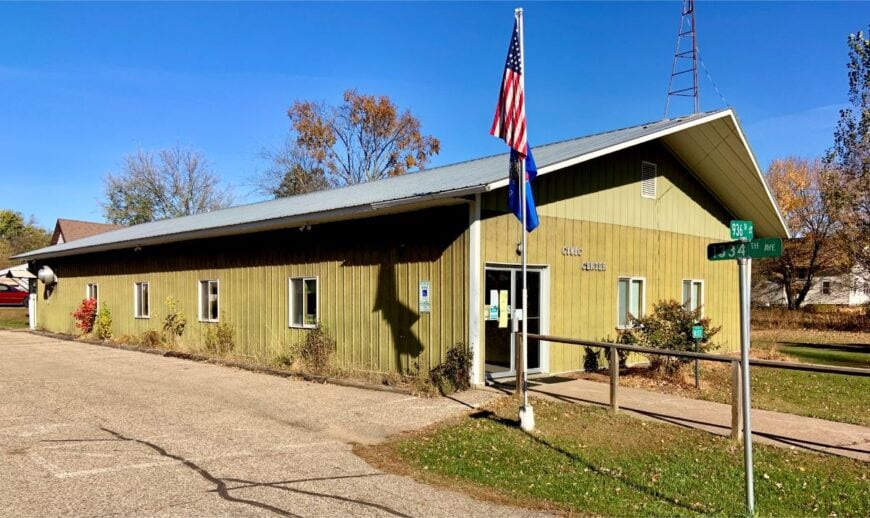
Sand Creek is a river-and-farmstead country where the Red Cedar’s tributaries run as clear as the town name promises. Seclusion is baked into the bends: few straight roads, fewer stoplights, and bridges that feel like the only connections to the rest of the world.
The vibe is friendly and frontier-light—canoes on truck racks, garden rows straight as rulers, and Friday fish fries where everyone’s plate looks the same. Paddle a lazy half-day, explore prairie openings stitched into the woods, or cast for smallmouth under alders.
Dairy and beef share the load, with maple and honey adding sweetness to spring. After dark, nightjars and river talk take over. It’s the kind of quiet that keeps a story to itself.
Where is Sand Creek?
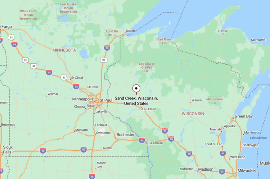
Sand Creek lies in northwestern Dunn County, southwest of Chetek and north of Colfax. County Roads I and A are the usual doors in, after which the pavement gives way to curves and canopy.
Expect spotty reception as the river valley deepens. When you slow for the one-lane bridge, you’ve arrived at the heart of it.
17. Town of Lucas, Dunn County
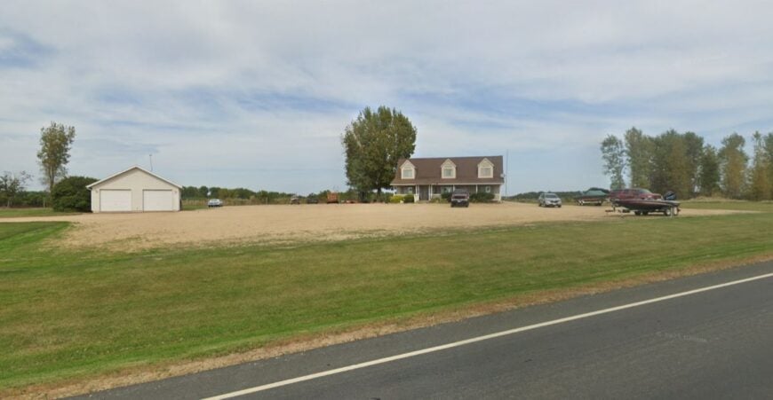
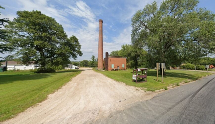
Lucas spreads across classic farm country: section-line roads, windbreaks like combed hair, and fields that meet the sky cleanly. Its tucked-away feel owes to distance from interstates and a habit of staying practical, not flashy.
The town vibe is neighborly—card tables in fire halls, farm auctions that double as reunions, and porches where seed catalogs pile up. Take a back-road bike loop past century farms, walk a hedgerow for songbirds, or watch storm towers build over alfalfa.
Row crops and small dairies are the mainstay, with a few craftspeople turning barn wood into heirlooms. Sunsets here seem to linger out of good manners. Peace feels built-in, not borrowed.
Where is Lucas?
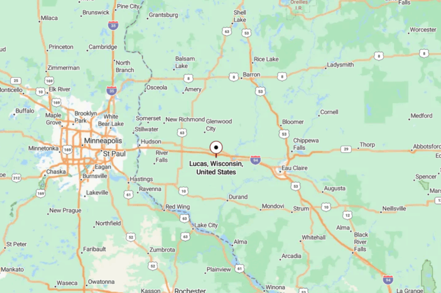
You’ll find Lucas in western Dunn County, a short country drive southwest of Menomonie. County Road P is the most direct route, and from there, gravel spurs fan out to farms and woodlots.
The land folds enough to hide the next mile and hush the last one. It’s close to town, but the first gravel turn flips the switch to quiet.
16. Town of Forest, St. Croix County
Would you like to save this?
Forest sits among rolling oak savannas and glacial knobs, with homes tucked far off the road under big skies. Its seclusion is protected by five- and ten-acre parcels and a lack of any commuter shortcut.
The mood is pastoral with a naturalist streak—bluebird trails, prairie burns, and neighbors who can name the constellations. Walk oak openings at dusk, paddle a cattail marsh that mirrors the clouds, or linger at a roadside stand selling honey and chokecherry jelly.
Hobby farms and remote work make an easy partnership here. When the wind shifts through the bur oaks, it sounds like pages turning. Forest is the pause you’ve been looking for.
Where is Forest?
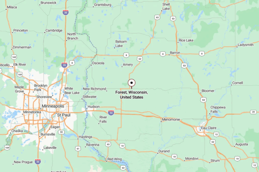
Forest lies in northeastern St. Croix County, about 18 miles north of Hudson as the crow flies. Drivers peel off U.S. 63 or Wisconsin 64 onto County Roads D and M, then let the curves do the rest.
The last stretch winds between oak knolls and prairie swales where cell bars flicker. It’s near the metro, though the approach feels worlds away.
15. Town of Cylon, St. Croix County

Cylon holds to the old country grid—mile squares, long views, and the occasional white church standing watch. Seclusion is a matter of spacing and intent: few houses, fewer businesses, and fields that keep their distance from the road.
The vibe is spare and peaceful, with gravel cyclists, bird dogs, and quiet evenings where you can hear geese long before you see them. Ride a sunrise loop past sugar maples, glass a pasture for sandhill cranes, or fish a shady farm pond with permission.
Grain and hay ground the economy; a handful of makers sell syrup and woodcraft from porch tables. Night returns early and thoroughly here. Cylon lets the prairie do most of the talking.
Where is Cylon?
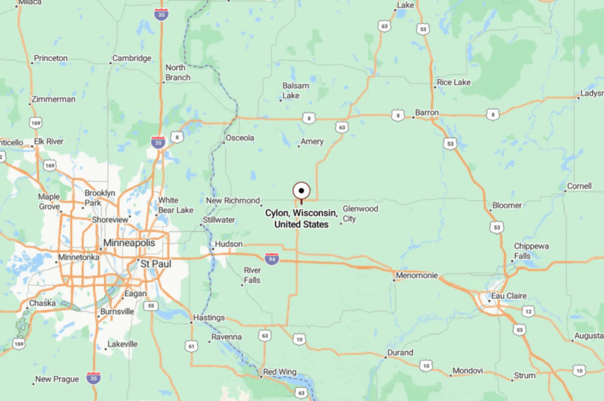
Cylon sits in eastern St. Croix County, southeast of New Richmond and north of Deer Park. County Roads CC and H are the simplest inroads, quickly giving way to gravel spines.
The landscape rolls just enough to hide the next farmhouse. Keep an eye out for the little white town hall—it’s the right kind of landmark.
14. Town of Laketown, Polk County
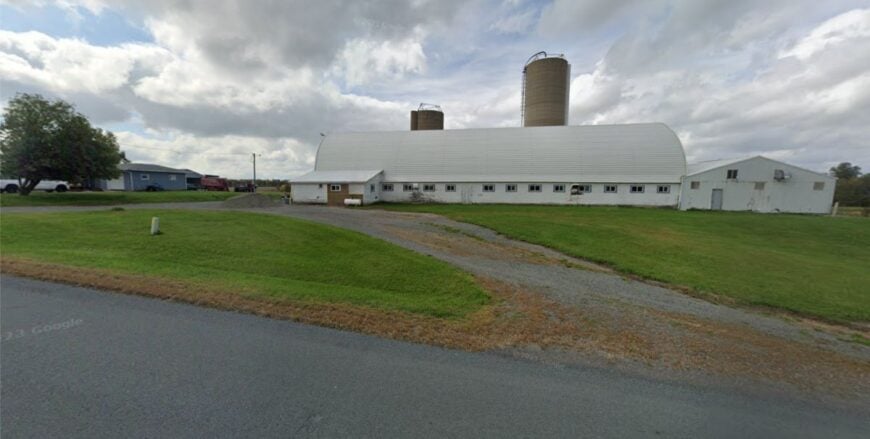
Laketown is truth-in-advertising—little lakes, tamarack swales, and cabins tucked in where the water meets the cedar. It feels far-flung because wetland patchwork breaks up roads, turning even short distances into quiet drives.
The mood is woodsy and unhurried: loons at dawn, card games on screened porches, and docks that creak like old friends. Paddle a tea-colored lake rimmed with wild rice, hike a sandy fire lane, or forage blueberries in a sunny opening.
Cabin trades, small-scale logging, and a few year-round farms keep the lights on. Night breezes carry nothing but frog song. It’s the lake country people imagine when they close their eyes.
Where is Laketown?
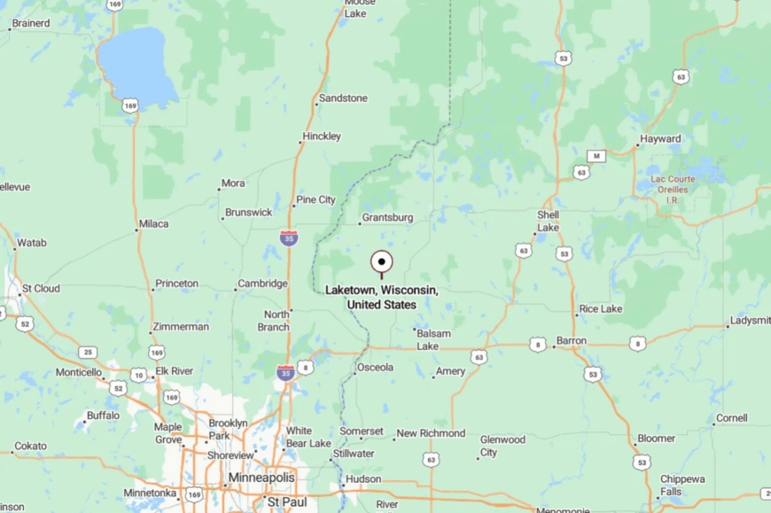
Laketown spreads across north-central Polk County, roughly 10 miles west of Luck and Milltown. Most visitors slip off Wisconsin 46 or U.S. 8 onto County I and then to named lakes by gravel.
Expect dead ends where water wins, along with spotty reception under thick cedar. The last turn is usually marked by a mailbox and a loon call.
13. Town of Bone Lake, Polk County
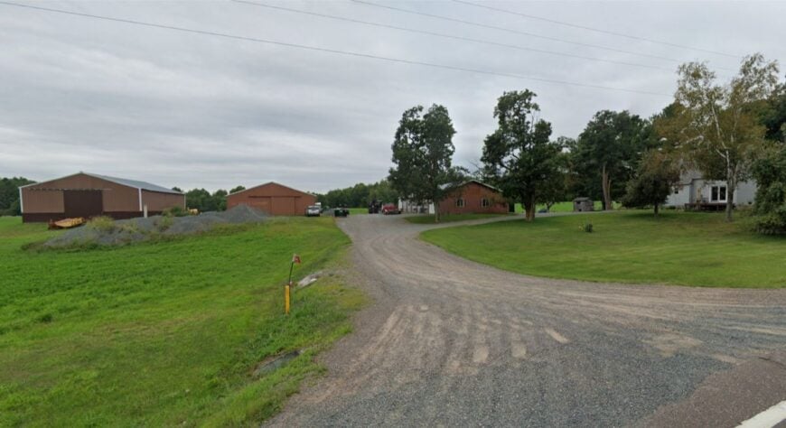
Bone Lake’s township wraps around its namesake water, a long, narrow lake with coves that swallow sound. Seclusion lingers thanks to deeper lots, a scarcity of public beaches, and a shoreline that’s more reeds than riprap.
The vibe is mellow—paddleboards at sunrise, fish fries on porches, and neighbors who wave from a distance across the bay. Cast for muskies at dusk, bike to a farmstand for sweet corn, or watch eagles stitch lazy circles above the water.
Tourism is gentle here: a resort or two, a bar with a neon walleye, and plenty of do-it-yourself. Come night, the lake turns to dark glass. The hush feels earned and well-kept.
Where is Bone Lake?
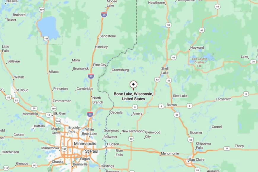
Bone Lake lies in eastern Polk County, a few quiet miles east of Luck and south of Cumberland. Access is via County I and a necklace of local lanes that dead-end at water.
The last half-mile is usually tree-tunneled and slow by nature. When the road thins to a driveway and the air smells like a lake, you’re there.
12. Town of Webb Lake, Burnett County
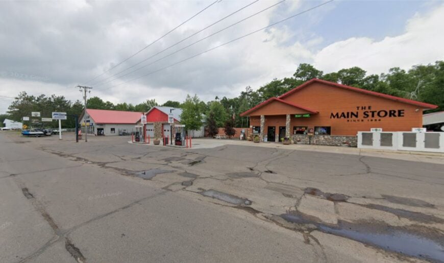
Webb Lake is big forest country—jack pines, sandy soils, and cabins hidden among the trees like shy deer. Its remoteness is simple math: miles to the nearest town, more miles to a supermarket, and plenty of forest in between.
The mood is campfire and canoe, with loons for neighbors and stars that pour right to the treeline. Swim in spring-fed shallows, hike a rolling stretch of the North Country National Scenic Trail, or explore quiet forest roads by bike.
Resorts and supper clubs dot the map lightly; logging and seasonal work fill in the spaces. Night drops like a curtain and brings every constellation with it. Out here, quiet is a feature you can hear.
Where is Webb Lake?
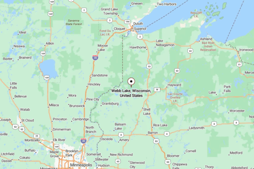
This township sits in northeastern Burnett County, north of Danbury and east of Minnesota’s border lakes. Drivers typically follow Wisconsin 77 or County H before branching to forest lanes.
GPS can be patchy, so folks keep a paper map in the glovebox. The last mile is all trees, sky, and the promise of water.
11. Town of Garden Valley, Jackson County
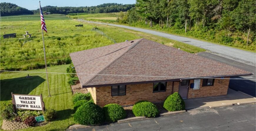
Garden Valley is a valley in truth—broad, green, and ringed with sandstone that turns honey-colored at dusk. Its set-apart feel comes from the Black River State Forest hemming it in and a scarcity of straight roads.
The vibe is part homestead, part backcountry: trailheads tucked behind pines, smoke curling from chimneys in October, and porch chairs that face the sunset. Hike sandstone knobs for sweeping views, ride an ATV connector that slips into deep woods, or sit with a thermos beside a cranberry bog alive with migrating cranes.
Forestry, small farms, and seasonal cranberry work weave the local economy together. After dark, the forest seems to pull closer in a friendly way. You can hear your own heartbeat in the quiet here.
Where is Garden Valley?
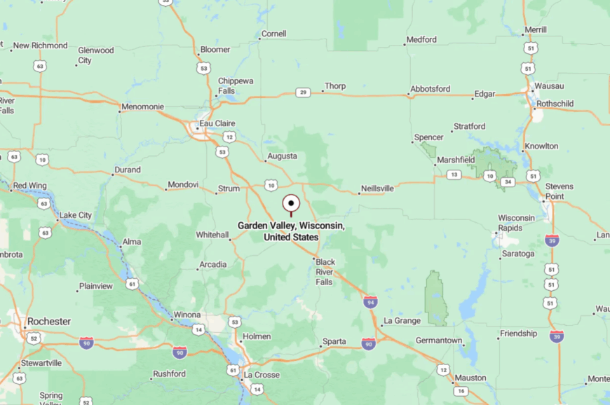
Garden Valley lies in western Jackson County, south of Alma Center and west of Black River Falls. The usual approach is County G or H to narrow lanes skirting the state forest.
Hills and timber grab the cell signal and slow the clock. By the time you see the valley open, you’ve already left the rush behind.
10. Town of Maxville, Buffalo County
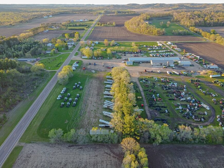
Roughly 325 residents make their homes among Maxville’s high Mississippi River bluffs and backwater marshes. Bird-watchers paddle the Tiffany Bottoms State Natural Area while anglers cast for catfish in side channels the main tour boats never reach.
Small cow-calf ranches and seasonal logging jobs form the modest economic base, supplemented by a single repair shop near County Road G. Dense hardwoods wrap century-old barns and one-acre homesteads, muffling road noise to the point where sandhill cranes are the loudest neighbors.
Only two paved roads cut through the township, and neither carries a state highway designation, so even weekend traffic is light. That isolation lets residents feel hours from the Twin Cities even though they are little more than 90 miles away.
Where is Maxville?
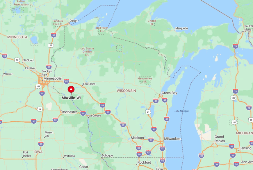
Maxville sits on Buffalo County’s western edge, directly across the river from Wabasha, Minnesota. The township’s northern half is reachable only by a single bridge near Nelson, adding to its tucked-away vibe.
Visitors usually follow State Highway 35 along the Great River Road, then slip onto County Road D, where cell service drops and forest thickens. Gravel terraces climb toward bluff-top hayfields, marking the final leg into town.
9. Town of Hale, Trempealeau County
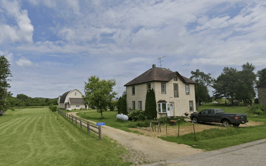
About 1,050 people live amid Hale’s rolling ridges, many of them members of the local Amish community. Handmade furniture shops share space with produce stands that spill heirloom tomatoes onto cool shaded porches.
Dairy and row-crop farming remain staples, although a growing cottage-industry market in quilts and canned goods adds variety. Oak-lined coulees hide farm lanes from busy Highway 53, so headlights are rare after sunset and stargazing is superb.
The township’s sparse street lighting and wide spacing between farmsteads preserve a hush broken only by horse hooves on gravel. That quiet, paired with acres of unbroken woodland, lets Hale feel far removed from the modern rush.
Where is Hale?
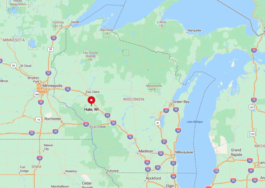
Hale occupies the southeastern quadrant of Trempealeau County, about 35 miles south of Eau Claire. Access comes mainly from Highway 53, but once inside the township drivers rely on numbered county roads that dip sharply into valleys.
Those ridges block radio and cell signals in many spots, reinforcing the sense of separation. First-time visitors often navigate by landmark silos instead of street signs.
8. Town of Trimbelle, Pierce County
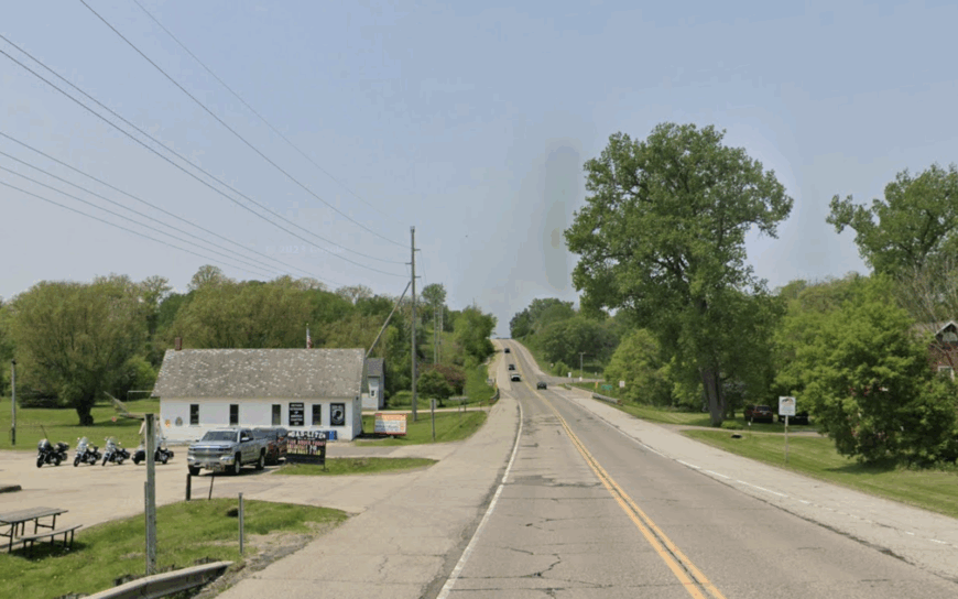
Home to approximately 1,650 residents, Trimbelle drapes itself along the slow-moving river that shares its name. Anglers stalk smallmouth bass while kayakers drift beneath willow shadows that never quite reach the main highway.
Row-crop agriculture dominates the economy, though a handful of craft producers bottle honey and maple syrup for neighboring farmers’ markets. The Trimbelle River Fishery Area and Nugget Lake County Park buffer the township from suburbia creeping across the St. Croix.
Dense wetlands and broad farm lots keep sightlines long and rooftops scarce. That buffer makes Trimbelle feel worlds away from the Twin Cities despite sitting only forty minutes east of Saint Paul.
Where is Trimbelle?
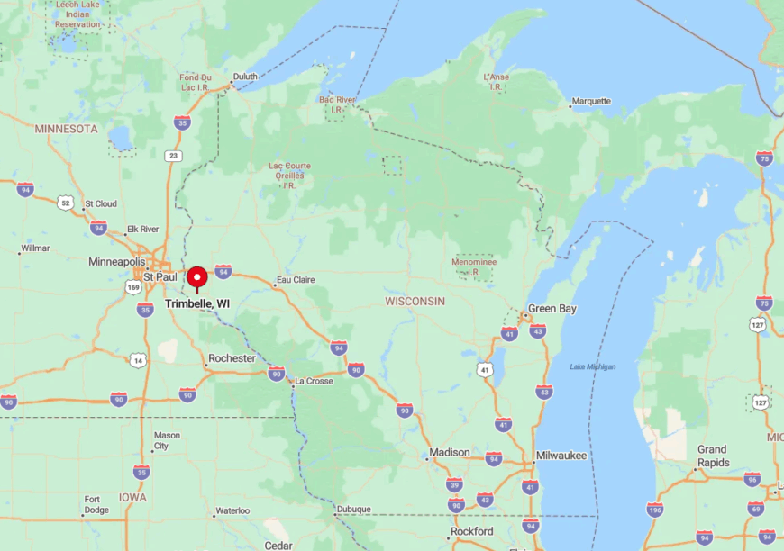
Trimbelle lies in central Pierce County, just north of U.S. Highway 10 and west of Wisconsin Highway 65. Once travelers exit those corridors, they wind along County Road O as it hugs the river’s oxbows.
The surrounding wildlife areas limit development, so GPS often suggests roundabout routes that end at boat launches rather than driveways. Locals simply follow the river bends until they see the bright red town hall.
7. Town of Lima, Pepin County
Would you like to save this?
Only around 720 residents share Lima’s sweeping dairy pastures and hilltop pine groves. Hikers climb the faint tractor tracks leading toward Nine Mile Bluff for panoramic views of the Chippewa River flats.
Dairy remains the principal industry, supported by a modern cooperative creamery just outside township lines. A lack of through roads forces delivery trucks to slow to farm-lane speeds, keeping traffic minimal.
Nearly twenty miles separate Lima from Eau Claire’s edge, and the intervening forests swallow cell signals for good measure. These factors combine to create an unexpectedly remote pocket in otherwise well-traveled Pepin County.
Where is Lima?
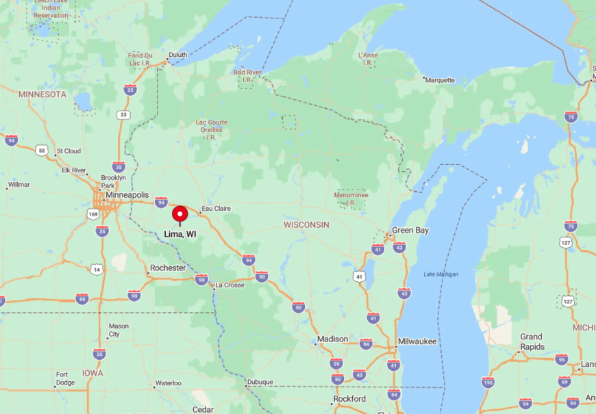
Lima occupies Pepin County’s northern tier, wedged between State Highways 37 and 85 yet touched directly by neither. Drivers depart the pavement at County Road T, then climb a series of switchbacks flanked by pine and oak.
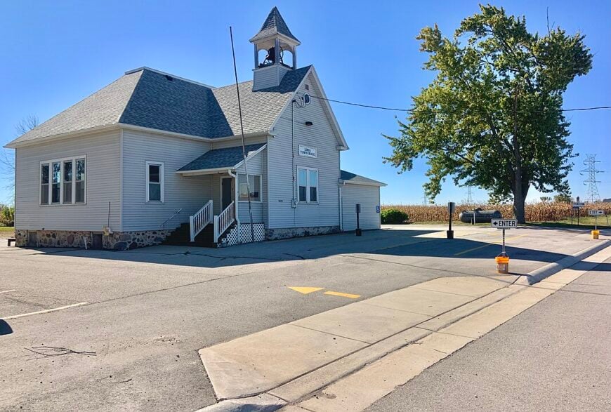
The absence of roadside businesses makes the journey feel longer than its miles suggest. Winter visitors often rely on the landmark silver grain bin at the Lima town hall to confirm they have arrived.
6. Town of Pigeon, Trempealeau County
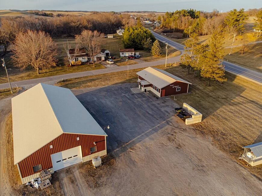
Pigeon counts roughly 900 inhabitants spread across a green valley of cornfields and trout-filled creeks. Fly fishers prize Elk Creek for its wild browns, while cyclists favor the quiet rise from North Creek Road to the ridge-top cemetery.
Crop farming and small beef operations anchor the local economy, with a single feed mill acting as the social hub.
Homes perch on roomy hillsides screened by dense maples that burst into flame each autumn miles of undeveloped state forestland hem in the township, blocking any large-scale subdivision. That natural barrier preserves Pigeon’s secluded character season after season.
Where is Pigeon?
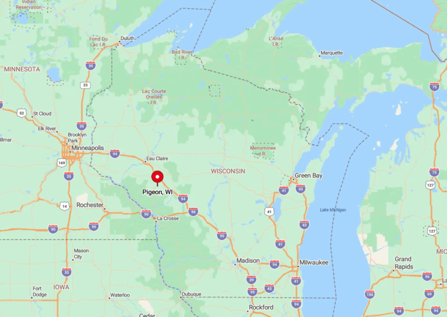
The township sits in eastern Trempealeau County, four miles south of U.S. Highway 10 and a good ten miles from Interstate 94. Access requires a deliberate turn onto County Road R, after which pavement quickly narrows to a single lane in spots.
Steep coulee walls restrict both cellular coverage and winter sun, reinforcing the township’s tucked-away feel. Visitors often set their odometers at the Eau Claire exit and note that Pigeon’s first mailbox appears exactly thirty-seven rural miles later.
5. Town of Turtle Lake, Barron County
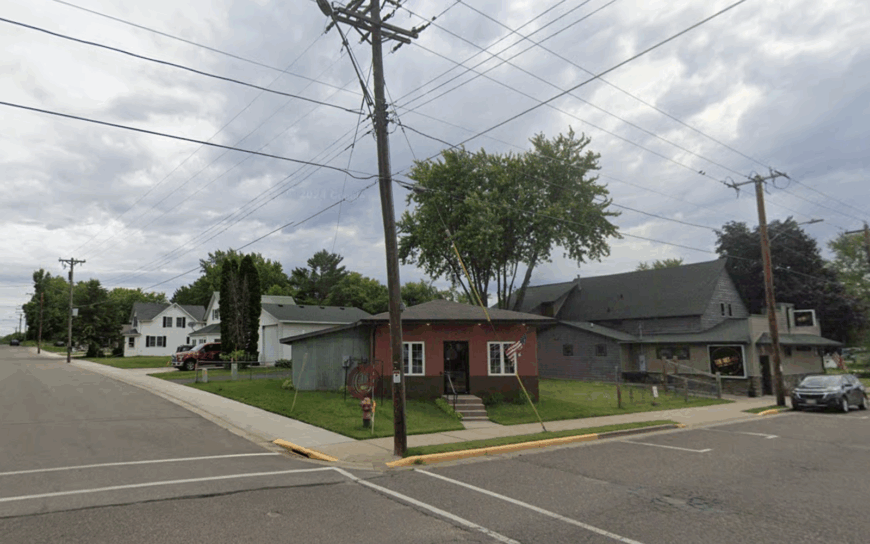
Just under 580 people share Turtle Lake’s patchwork of kettle lakes, 40-acre woodlots, and sandy roads. Summer brings panfish action on White Ash Lake, yet motorboats remain scarce, making loons easy to hear at dusk.
Tourism plays a modest role thanks to a single rustic resort, though forestry and small-scale beef farming keep the local economy grounded. Minimum-five-acre zoning prevents dense development, preserving a Northwoods vibe without the visitor surge common farther north.
Towering red pines block sightlines, so cabins feel hidden even when only a few hundred feet apart. That privacy draws folks seeking quiet weekends well off Wisconsin’s main lake circuits.
Where is Turtle Lake?
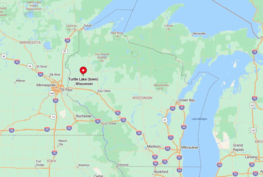
Turtle Lake township lies roughly five miles northeast of the village sharing its name, straddling the Barron and Polk County border. State Highway 8 skirts the southern edge, but reaching most lakes requires a jog onto County Road T followed by sandy fire lanes.
Limited signage and dense forest encourage first-timers to pick up a free DNR map at the local gas station. After that, navigation is as simple as following gravel until the trees open onto water.
4. Town of Grant, Dunn County
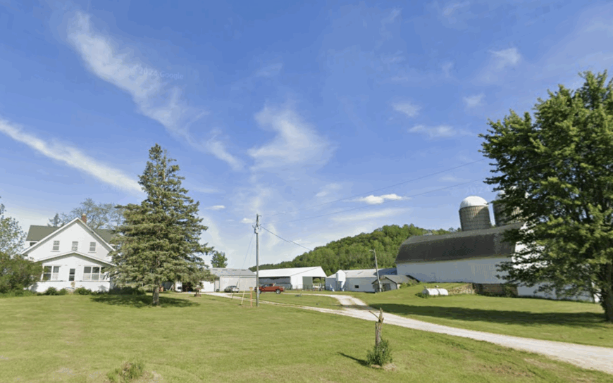
Grant’s population hovers near 415, spread across century farms that still measure property lines by quarter-mile posts. The Dunnville Bottoms Wildlife Area offers miles of prairie trails where hikers spot bobolinks and prairie skinks on warm June afternoons.
Row-crop fields share the landscape with restored tallgrass preserves, and small heritage cattle herds supply local lockers in Menomonie. Streetlights are absent outside the town hall, allowing the Milky Way to shine like a plowed furrow of stars each clear night.
Farms stand a full county mile apart, so neighbors wave from tractors rather than front porches. These wide separations grant Grant a tranquil vibe even though Interstate 94 is only a half-hour away.
Where is Grant?
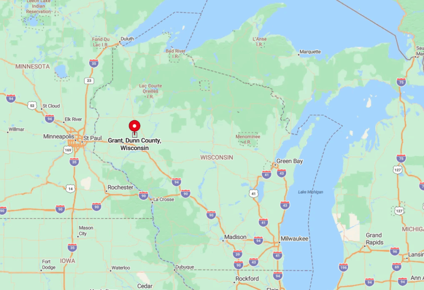
The township sits in southern Dunn County, bounded by the Red Cedar River to the east and State Highway 25 to the west. Most visitors exit I-94 at Menomonie, then angle south on County Road Y into open prairie.
Cell towers drop behind the rolling terrain, and highway rumble fades within minutes. The last stretch to the Grant town hall is a straight gravel ribbon trimmed by big bluestem grass.
3. Town of Stockholm, Pepin County
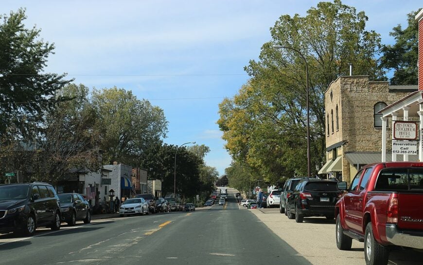
Stockholm lists only about 215 permanent residents, yet its bluff-top orchards and vacant river overlooks draw painters and photographers year round. Visitors pick Honeycrisp apples at Sunrise Orchard, then grab currant scones at a bakery tucked inside an 1860s storehouse.
Small boutiques and seasonal cafes form the light commercial base, though fruit farming still writes most of the tax checks. Highway 35 handles through traffic along Lake Pepin, leaving cliff-carved back lanes nearly deserted.
Those lanes rise sharply, delivering uninterrupted vistas where eagles ride thermals above the water. Because development hugs the highway, the bluff interior keeps its peaceful, timeless quality.
Where is Stockholm?
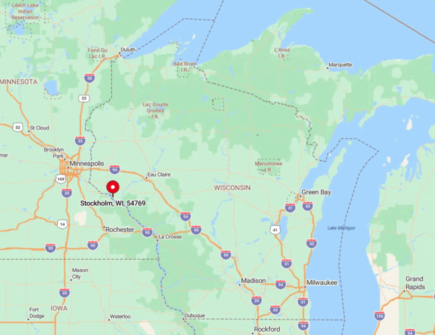
Found along Lake Pepin’s eastern shore, Stockholm sits midway between Red Wing and Nelson on the Great River Road. Reaching the bluff-top farms requires turning inland on County Road J, which zigzags through sandstone cuts high above the lake.
Tight switchbacks deter large vehicles, so cyclists and orchard wagons share the roadway in relative calm. Public transit is nonexistent, making a personal vehicle the only reliable way in.
2. Town of Trade Lake, Burnett County
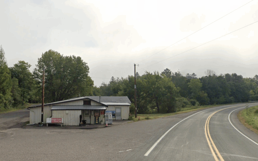
Trade Lake hosts nearly 870 residents scattered among cedar swamps, cranberry bogs, and twin namesake lakes. Paddlers drift past floating bog mats where orchids bloom in June, and birders log trumpeter swans on South Trade Lake during migration.
Small-scale cranberry cultivation and cabin construction feed the local economy, supplemented by a volunteer-run historical museum in a converted schoolhouse. Loons echo more often than lawnmowers thanks to two-acre minimum lots and strict shoreline rules.
The patchwork of wetlands blocks most through roads, so drivers seldom see another car once they turn off Highway 48. This natural maze keeps the township delightfully hushed even on summer weekends.
Where is Trade Lake?
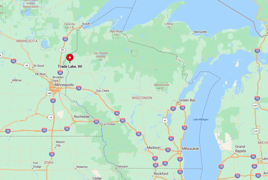
The township lies in southeastern Burnett County, brushing the Polk County line about ten miles west of Grantsburg. State Highway 48 provides the only paved access, after which travelers navigate a grid of gravel arteries named for early Swedish settlers.
Thick cedar stands break GPS reception, so locals still hand out paper lake maps at the general store. Important markers include the bright red steeple of Zion Lutheran, visible above the tamarack in every season.
1. Town of Alden, Polk County
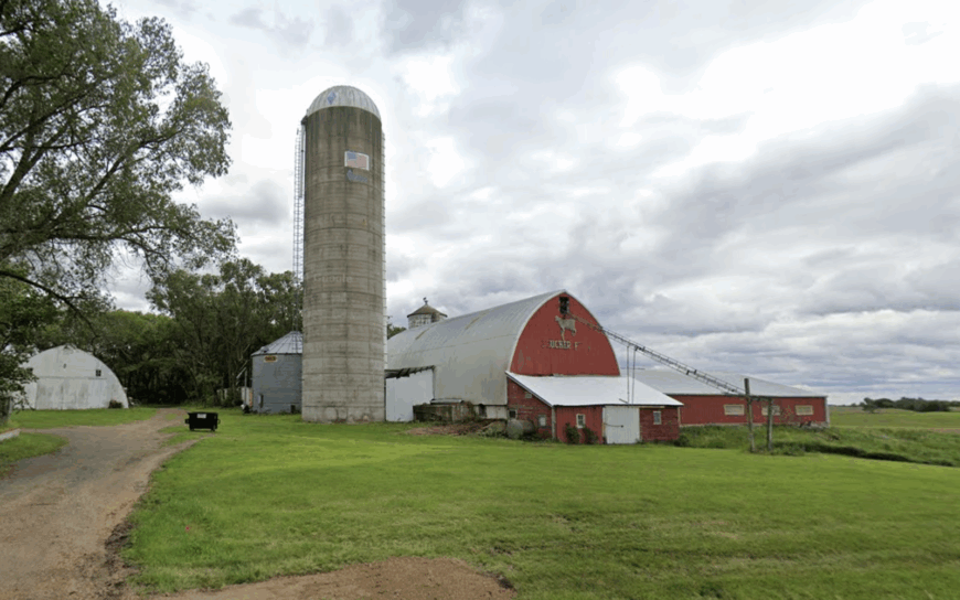
Home to roughly 2,900 residents, Alden stretches along winding reaches of the Apple River where tubing and smallmouth fishing fill summer days. The economy leans on hobby farms, a cluster of river outfitters, and a family-run winery that pours Frontenac rosé on fall weekends.
Broad oak savannas border five-acre homesteads, giving wildlife corridors that keep deer in the orchards and traffic on alert. Minimum-lot zoning, coupled with strict shoreland ordinances, fences out large subdivisions common elsewhere in the St. Croix Valley.
As evening falls, only the soft hiss of rapids carries across the open pasture. That combination of protected riverway and low housing density makes Alden feel far more remote than its map location implies.
Where is Alden?
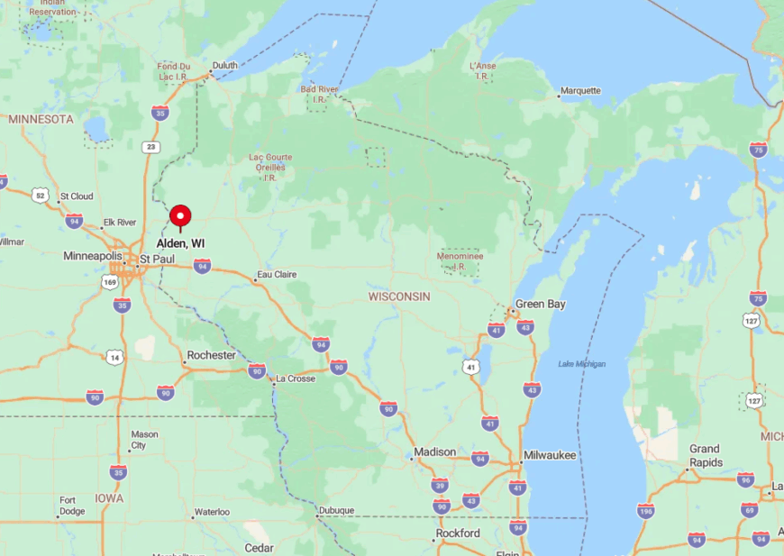
Alden occupies southwest Polk County, ten miles north of Stillwater, Minnesota, yet shielded by the wooded bluffs of the lower Apple River. County Road C loops through the township, but most visitors exit U.S. Highway 8 or Wisconsin 65 before dropping into the river valley.
The final miles twist between oak ridges, limiting both speed and cellular coverage. Once at water level, gravel spurs end at canoe launches that double as informal trailheads into the surrounding savanna.


