🔥 Would you like to save this?
Western Georgia hides pockets of deep quiet where pine fragrance replaces traffic fumes and night skies still shine with the Milky Way. These settlements rarely appear on tourist maps, yet they hold histories of rail depots, spring houses, and field churches that remain part of daily life.
Our roundup walks through 25 of the most secluded communities scattered from the Chattahoochee foothills to the pecan country near the Florida line. Each entry explains what daily life looks like, why neighbors stay spread out, and how travelers can reach the hamlets without losing their sense of adventure.
In order to come up with the very specific design ideas, we create most designs with the assistance of state-of-the-art AI interior design software.
Grab a road atlas—or the offline setting on a GPS—and see how far a two-lane highway can carry someone from the noise of the interstate.
25. Glenloch
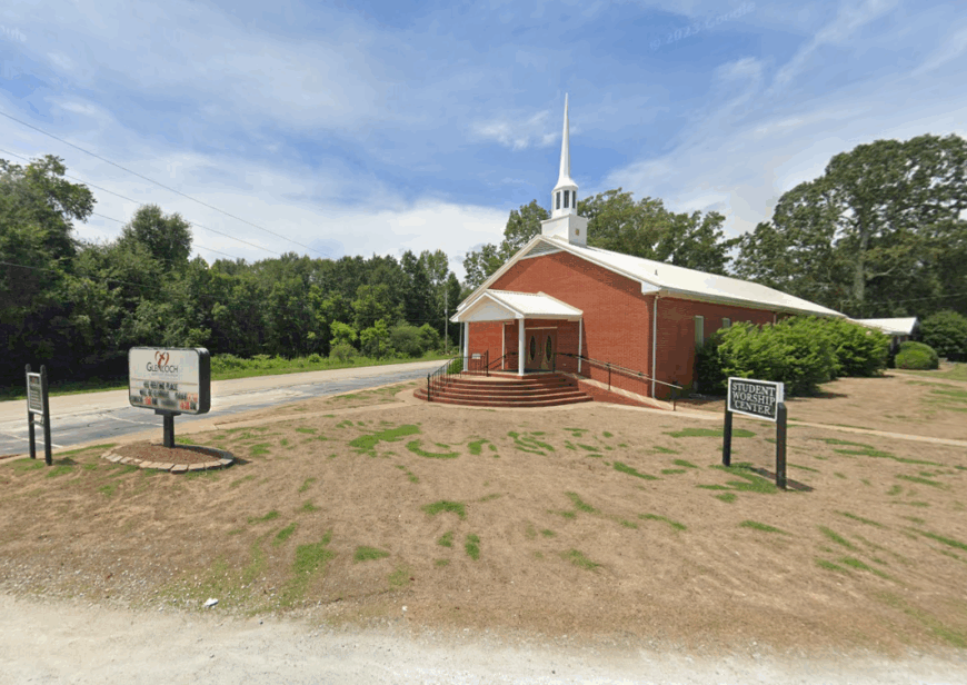
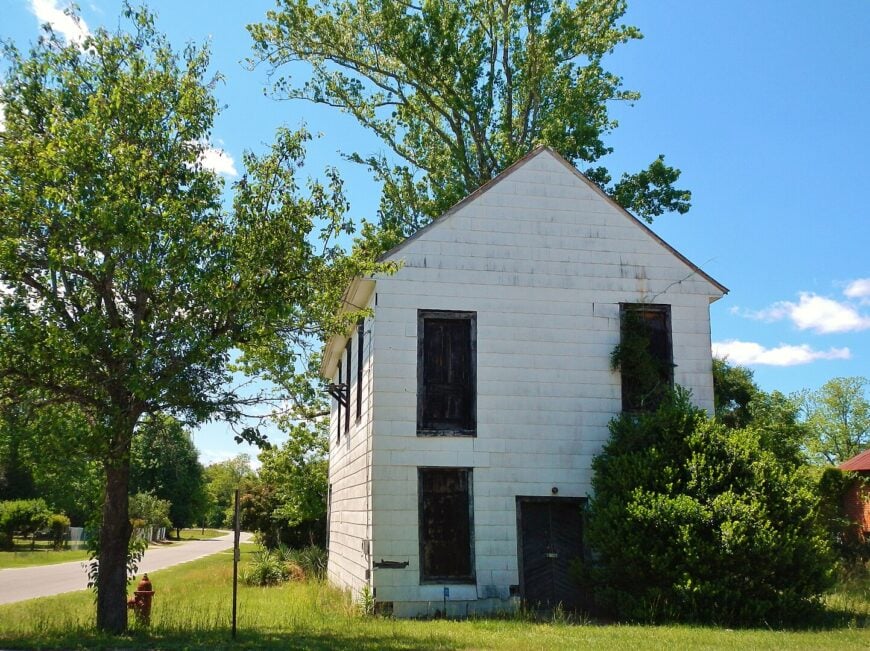
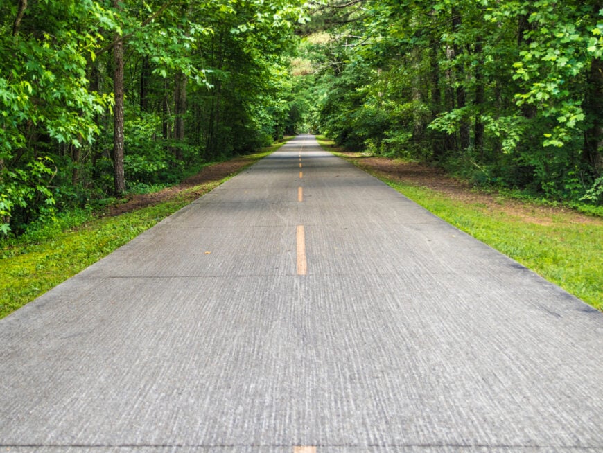
Glenloch is a quiet patch of Heard County where open hayfields meet stands of pine, and the days unfold with slow grace beneath a wide southern sky. A scattering of family farms and gravel roads define this small community, where many residents grow their own vegetables and trade stories beneath metal-roof porches. There are no restaurants, no gas stations—just land, sky, and the sound of the wind.
A small network of logging roads and private lanes keeps Glenloch mostly hidden from through traffic. The feeling of distance is real here, as though you’ve stepped just far enough away from the world to hear yourself think.
Where is Glenloch?
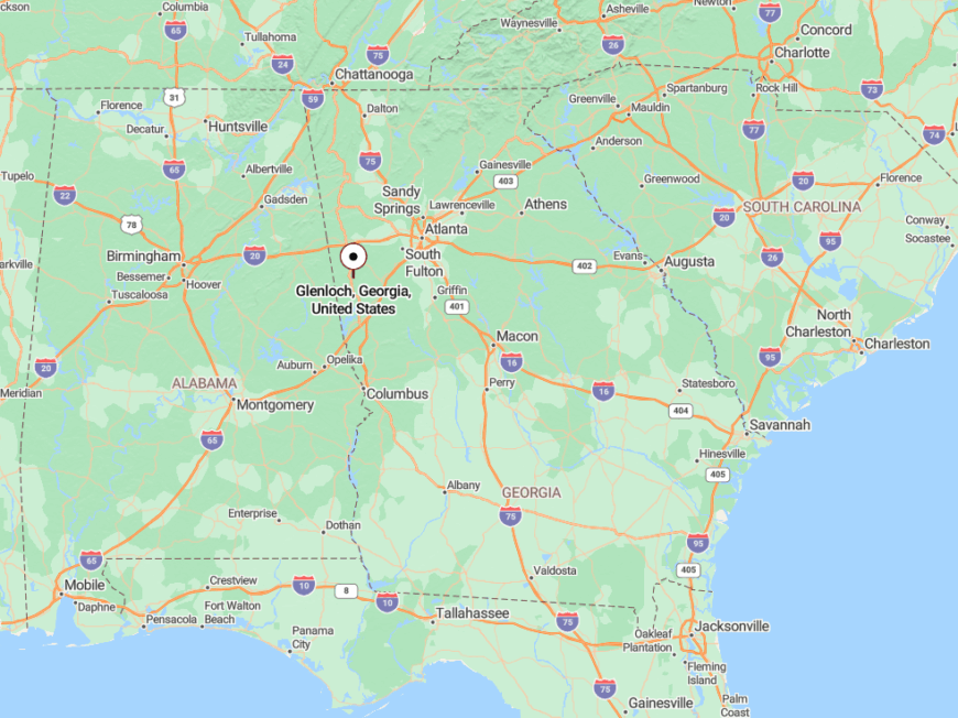
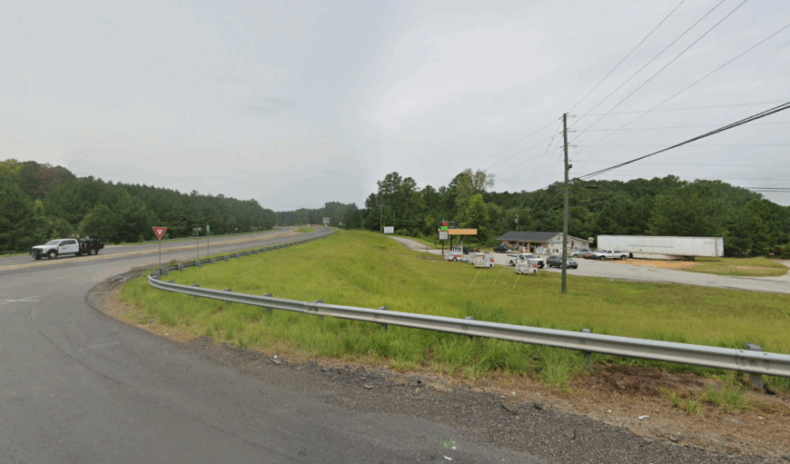
Glenloch sits in southeastern Heard County, not far from the Carroll County line and southwest of Roopville. Reached via backroads off GA-100, the area is surrounded by tree farms and large rural tracts that buffer it from development.
Visitors usually turn onto Glenloch Road, a meandering rural route where cell service flickers and mailboxes are spaced far apart. Its remoteness is amplified by its placement between other small towns, making it easy to pass by unless you’re looking.
24. Five Points
With fewer than 200 residents, Five Points clings to the Georgia-Alabama border like a pocket of stillness where old barns outnumber homes. Residents here live by the rhythms of pasture and forest, where cattle graze under pecans and front yards stretch into the horizon. A former crossroads community, it now feels more like a quiet glade tucked far from time.
There’s little noise beyond the occasional truck hauling hay, and at night, whip-poor-wills fill the air in place of headlights. The town’s modest footprint and lack of any central hub keep it comfortably off the radar.
Where is Five Points?
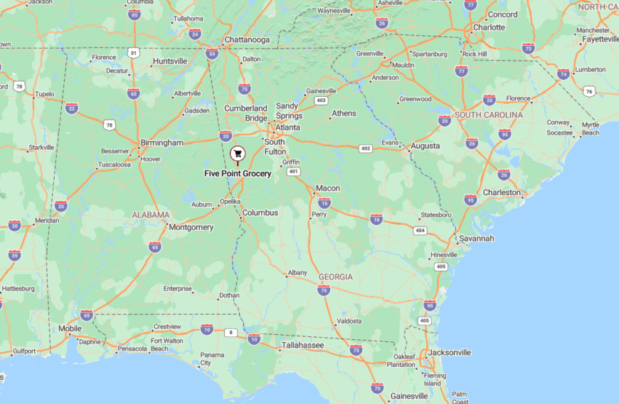
Five Points lies in western Heard County, hugging the Alabama state line and a short drive from the Tallapoosa River. It’s accessible only by county roads like Liberty Hill Road and Five Points Road, which twist through farmland and pine before revealing the scattered homes.
Its remote location, buffered by forest and farmland, keeps it far from any major corridor or urban influence.
23. Esom Hill
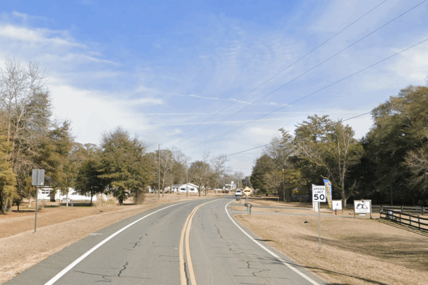
Esom Hill is one of those places where the road narrows, the trees thicken, and you’re suddenly surrounded by the hush of open land. Nestled near the Alabama line, it’s a village with deep roots—historic churches, aging farmhouses, and wide, quiet lots that stretch toward the hills. There’s a timeless feel here, like everything moves at half speed.
Most of its charm lies in its simplicity: wood smoke in the fall, crickets in the summer, and neighbors who wave from across the pasture. This is the kind of town where even the post office feels like a family heirloom.
Where is Esom Hill?
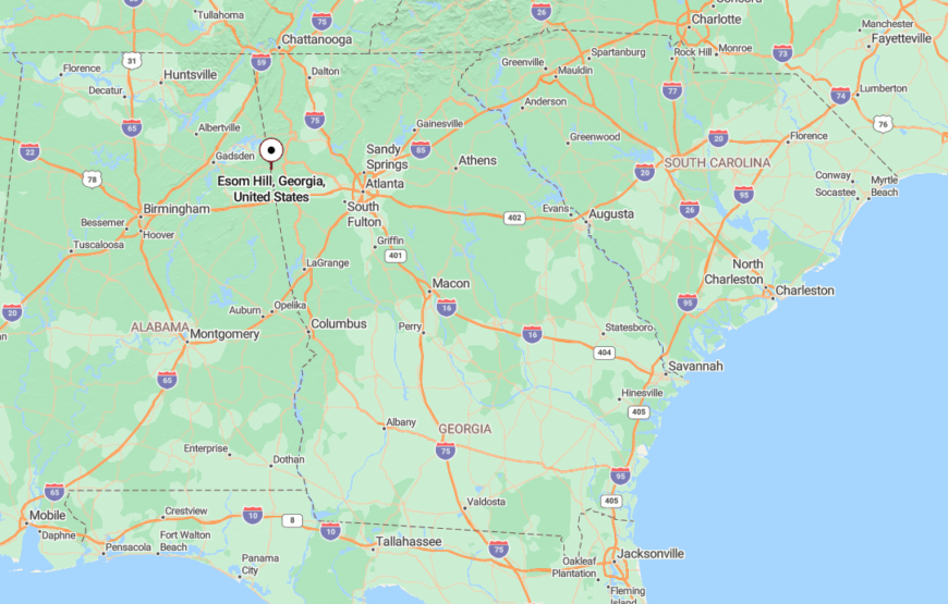
Esom Hill is located in western Polk County, just east of the Alabama border and southwest of Cedartown. It’s reached via US-278 and Esom Hill Road, a route lined with thick woods and open pastures.
Its seclusion is reinforced by its placement far from retail corridors and major intersections, making it feel quietly forgotten in the best way.
22. Tazewell
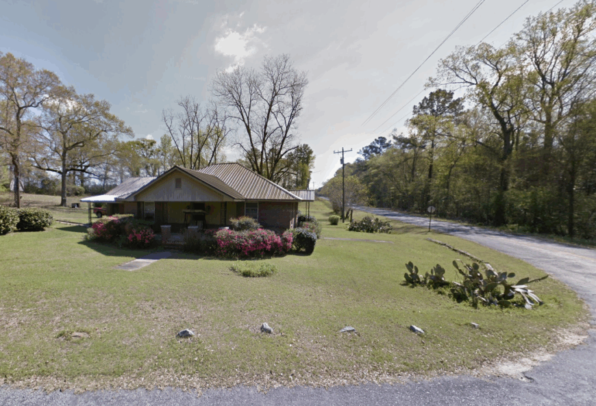
Tazewell is a hamlet in Marion County where old general stores sit empty but intact, and the hills roll on without interruption. It’s a town where little has changed in decades, and residents like it that way. You’ll find wide lawns, old magnolia trees, and a sense of peace that settles in like dusk.
Church gatherings, fishing ponds, and family gardens shape daily life. The lack of fast food or convenience stores doesn’t bother anyone—in fact, it’s part of what keeps the pace slow and steady.
Where is Tazewell?
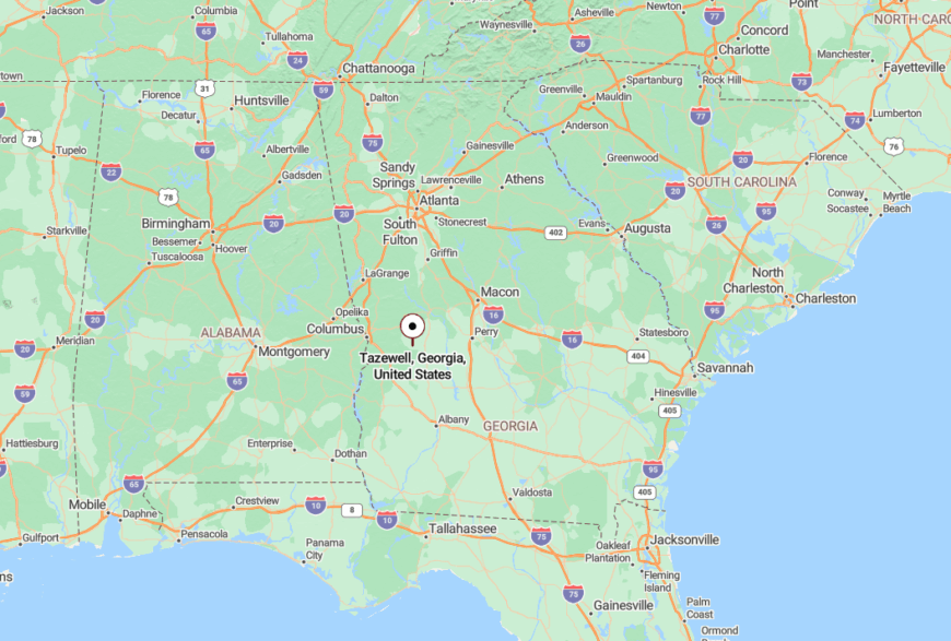
Tazewell lies in east-central Marion County, southeast of Buena Vista. Reached via GA-137, the road dips and rises through farmland and woodland, with few signs to guide the way.
This off-the-path setting, surrounded by forest and open field, protects its serenity and ensures only intentional visitors arrive.
21. Juniper
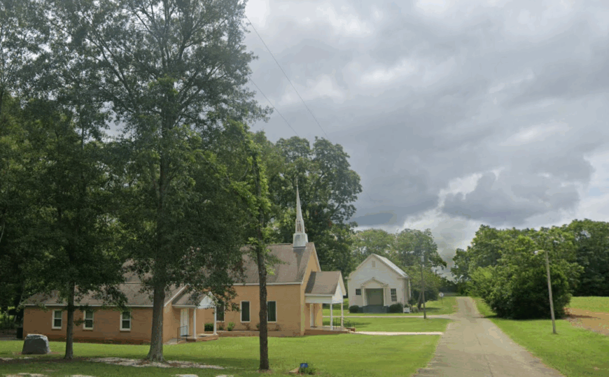
Juniper lingers quietly in the folds of eastern Talbot County, where the forest seems to reclaim the roadside and time softens into something slower. The community is little more than a few homes and mailboxes hidden beneath pine cover, where neighbors know each other by the shape of their trucks.
It’s a place where the wind carries the scent of woodsmoke, and conversations happen in gardens or beside chicken coops instead of cafes. With no town square or commercial center, Juniper stays invisible to anyone not already searching for it.
The hush here is not accidental—it’s the result of years spent just far enough from the noise, where the outside world fades to background and the trees grow thicker every season.
Where is Juniper?
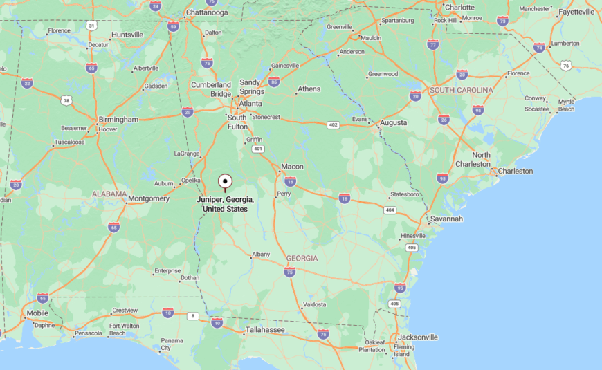
Juniper sits in eastern Talbot County, just west of the Muscogee County line and south of Box Springs, along a patchwork of narrow county roads and wooded lanes. The closest state route, GA-355, offers no signs announcing the town—just a turn that quickly slips back into the trees.
Its placement away from major corridors and its blend of elevation, pine forest, and rural land make it feel sealed off, as though the landscape itself prefers things this way.
20. Mauk
In Mauk, red dirt roads meet longleaf pines and silence is a daily companion. The town has little more than a church, a post office, and a scattering of homes set far back from the road, but what it lacks in bustle, it makes up for in calm. Locals know each other by name, and most chores still involve a pickup truck and a feed store.
Here, you’ll find the comfort of wide skies and evenings without interruption. With few distractions, life feels refreshingly present.
Where is Mauk?
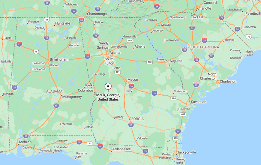
Mauk is located in Taylor County, east of Buena Vista and west of Reynolds. It’s reachable via GA-90 and then down quieter county roads that lose their pavement fast.
Set far from shopping centers or traffic corridors, Mauk’s seclusion is preserved by geography and the gentle insistence of rural life.
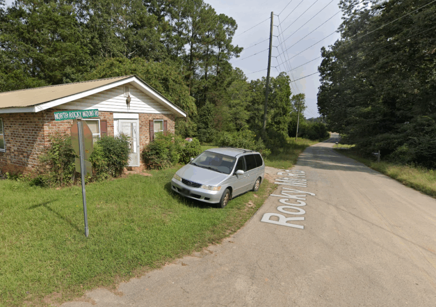
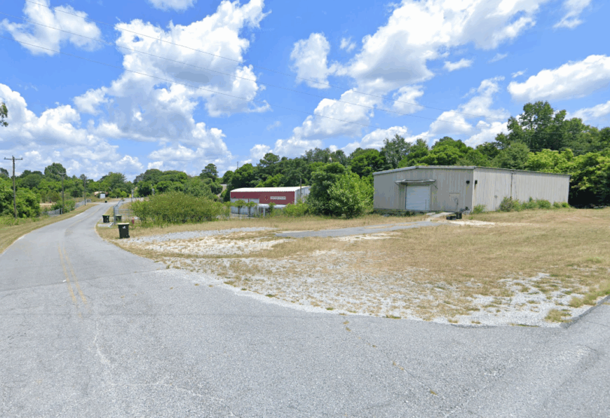
19. Rocky Mount
🔥 Would you like to save this?
Rocky Mount’s hills rise and fall like waves beneath pine cover, and its community of fewer than 300 residents spreads thin across this rolling landscape. It’s a place where mailboxes are rare and cows outnumber cars. Most homes sit behind gravel drives, invisible from the road.
People here live with the land—gardening, raising livestock, and relying on neighbors when needed. The absence of convenience stores or signage makes it easy to miss and hard to forget.
Where is Rocky Mount?
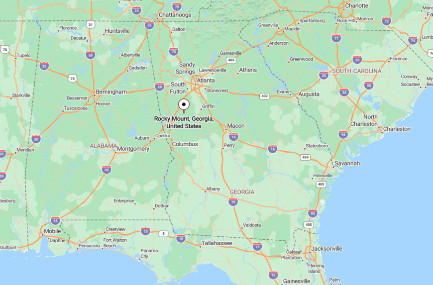
Rocky Mount is in Meriwether County, southeast of Newnan and northeast of Pine Mountain. Tucked between GA-85 and GA-100, it’s reached only by local roads like Rocky Mount Road and Alvaton Road.
Surrounded by timber and farmland, it’s naturally shielded from development, keeping the landscape quiet and uncluttered.
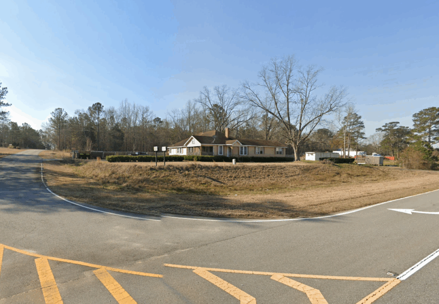
18. Junction City
Junction City carries a name that suggests movement, but today it’s more of a pause. With fewer than 200 residents, it sits at a meeting of two quiet routes and carries an air of old Southern gentility. The train no longer stops, and the town has adjusted with grace.
Life revolves around the church, the post office, and backyard vegetable gardens. With no grocery store and only one gas pump, the town’s slow rhythm never skips a beat.
Where is Junction City?
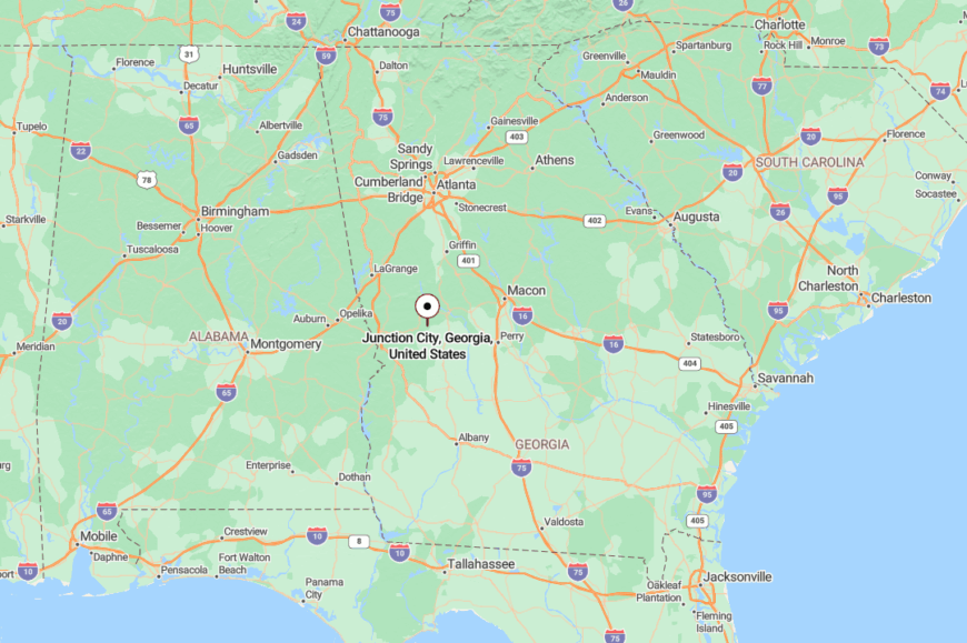
This quiet spot sits in western Talbot County, at the crossing of GA-96 and GA-90. Surrounded by forest and shielded by elevation changes, it’s easy to overlook.
Its sparse surroundings and lack of commercial traffic preserve a deep sense of calm that settles in as soon as the trees close behind you.
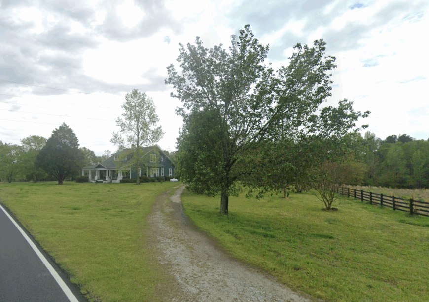
17. Box Springs
Box Springs is a blink-and-you’ll-miss-it kind of place, where the post office doubles as a local landmark and the rest of town stretches out under shade trees. A former railroad stop, it now feels like a memory made real—unhurried, unchanged, and undeniably peaceful.
Front-porch sitting is a daily pastime, and the pace never exceeds the hum of cicadas. With no downtown and barely a crossroads to its name, Box Springs stays hidden in plain sight.
Where is Box Springs?
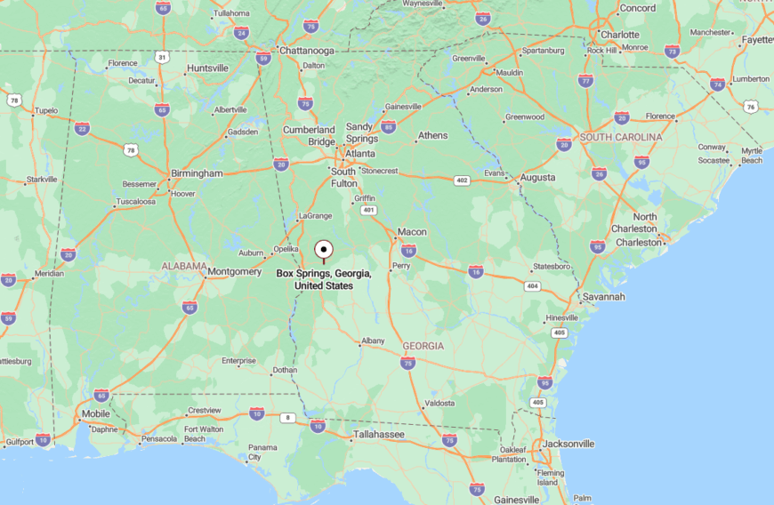
Box Springs lies in eastern Talbot County near the Muscogee County line, just west of Juniper. It’s accessible via GA-90 and a tangle of county roads that cross creeks and pass hayfields.
The surrounding timberland and minimal signage give it a sense of quiet insulation from the rest of the world.
16. Redbone
Redbone isn’t so much a town as a feeling—of wide fields, century-old barns, and a road that stretches toward nowhere in particular. Locals know the creek crossings, the deep fishing holes, and the way the sun sets over the pasture.
There are no stores, no post office—just homes spaced by acres, cattle pens tucked behind pine lines, and gravel lanes that feel forgotten. It’s a place where time seems to hover.
Where is Redbone?
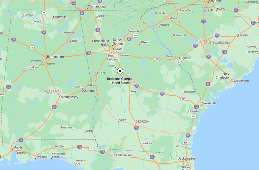
Redbone sits in Lamar County, west of Barnesville and north of Thomaston. It’s reached via a maze of unmarked backroads like Piedmont and Crawford Roads.
The combination of low population density and surrounding farmland keeps Redbone quietly apart from any sense of sprawl.
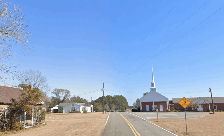
15. Warm Springs
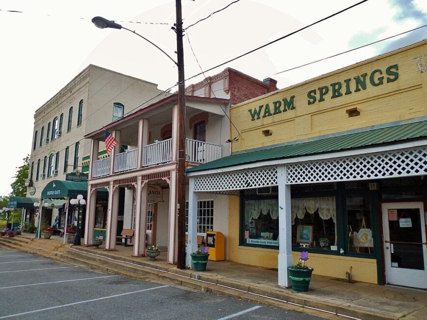
Though known for its presidential history, the quiet corners of Warm Springs remain deeply rural, with dirt roads that lead to cabins under pine cover and hidden lakes. The town’s historic center sees light traffic, but much of the community lives in the hills beyond, where deer wander through yards and neighbors visit by four-wheeler.
Wood smoke, spring-fed streams, and a sky free of light pollution define life here. Even in its more visited areas, the hush is never far off.
Where is Warm Springs?
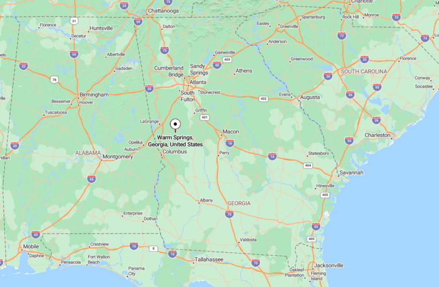
Warm Springs is in Meriwether County, nestled at the base of Pine Mountain and south of Manchester. It’s reached via GA-85 Alt and a network of curving roads that dip into shaded valleys.
The topography itself helps maintain the town’s sense of separation, sheltering it from noise and sprawl.
14. Howard
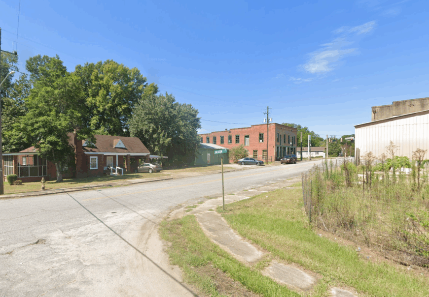
Howard is a scattered hamlet in Taylor County where the old cotton gin rusts quietly beside the train tracks, and houses emerge slowly from the trees. There’s no stoplight, no fast food, just the gentle rhythm of fields, fences, and Sunday suppers.
Most residents tend gardens, keep hens, or commute to nearby Roberta or Butler. At night, the darkness is complete and comforting, broken only by stars and the chirr of night insects.
Where is Howard?
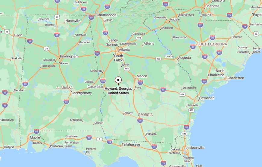
Howard sits in eastern Taylor County between Butler and Roberta along US-80. Once a railroad town, it now rests quietly along the edge of timberland and farmland.
Its distance from larger highways and absence of commercial build-up keep it feeling far removed.
13. Talbotton
🔥 Would you like to save this?
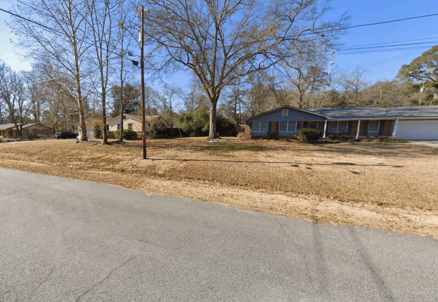
Talbotton is a county seat, but don’t let that fool you—it’s still one of the sleepiest towns in Georgia. With antebellum homes, wide lawns, and almost no traffic, it feels like a movie set left behind in the best way.
Courthouse bells still mark the hour, and most errands are done on foot. Time slows here, and that’s exactly why people stay.
Where is Talbotton?
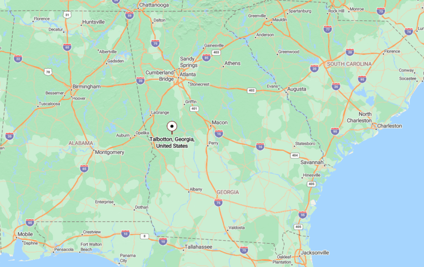
Talbotton is in the heart of Talbot County, about an hour east of Columbus, along GA-90 and GA-96. Surrounded by low hills and pine, it’s close to nothing but sky.
Despite its central role in the county, the absence of surrounding growth helps it maintain a timeless stillness.
12. Upatoi
Upatoi is more whisper than town, a collection of ranch houses and woodsheds tucked into the trees off a winding road. Deer trails crisscross the yards, and most properties back up to thick pine stands where wild turkeys roam.
Locals keep to themselves, but wave often, and the few country stores feel more like neighborly extensions than businesses. The world beyond seems to pause at the edge of the treeline.
Where is Upatoi?
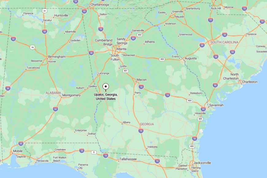
Upatoi sits on the eastern edge of Muscogee County, near the boundary with Talbot County, along Macon Road. It’s the last outpost before the forest takes over.
Surrounded by Fort Moore property and conservation land, Upatoi is effectively walled off from sprawl, its quiet enforced by nature and distance.
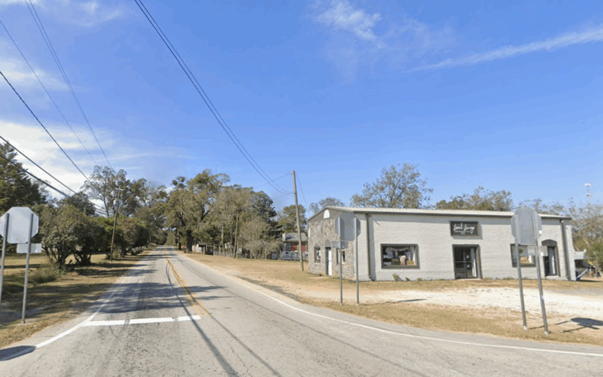
11. Shiloh
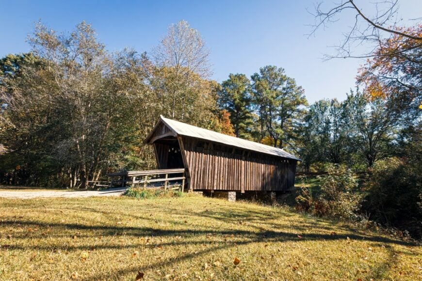
Shiloh is a hillside town where mist curls off the fields in early morning and everything else seems to wait until it lifts. Fewer than 500 people call it home, and most of them live behind groves of pine or down roads that don’t show up on most maps.
Church bells ring out across the valley, and weekends are for canning, fishing, or driving the ridge for views of the next county over. It’s the kind of place where peace is the first and last thing you notice.
Where is Shiloh?
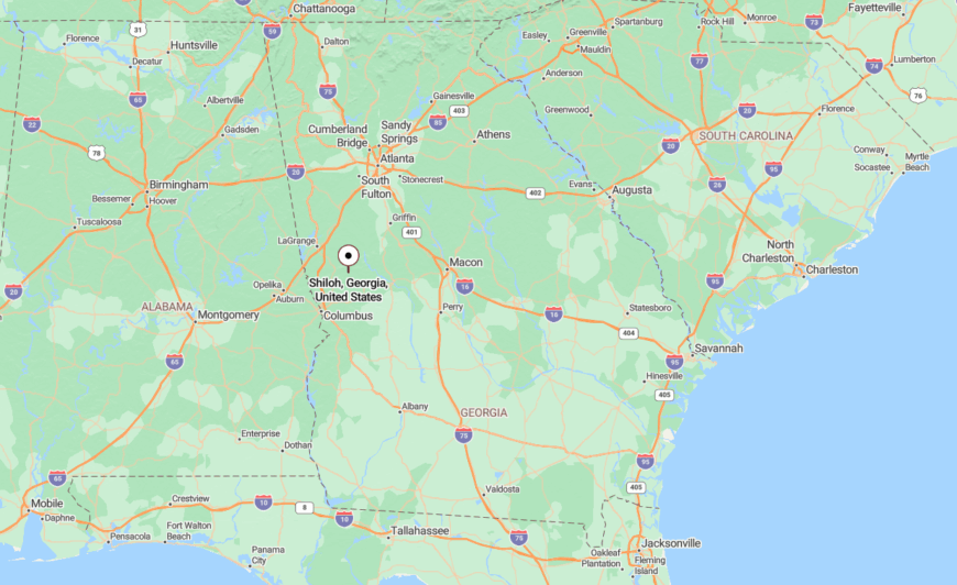
Shiloh is located in southern Harris County, just west of Warm Springs and nestled in the foothills of Pine Mountain. It’s accessed by GA-85, though the steep terrain helps maintain its separation.
The hills themselves act as a buffer, sheltering Shiloh from noise and expansion, and giving it the feel of a town folded into the land.
10. Corinth
Corinth counts roughly 150 residents living among rolling pastureland and cedar-lined ridges that screen homes from the county road. Locals spend weekends riding horses along unfenced fields, fishing in private ponds, and swapping seeds at the volunteer-run community garden beside the old cotton gin.
Cattle ranching and small-batch hay production form the backbone of the area’s modest economy, with a handful of remote workers taking advantage of fiber internet recently strung along the main route.
The lack of retail—aside from a seasonal produce stand—keeps shopping trips pointed toward Carrollton or LaGrange. Streetlights are almost nonexistent, letting meteor showers steal the show on clear nights.
Long distances between mailboxes and the absence of subdivision gates underscore how completely Corinth sits apart from town sprawl.
Where is Corinth?
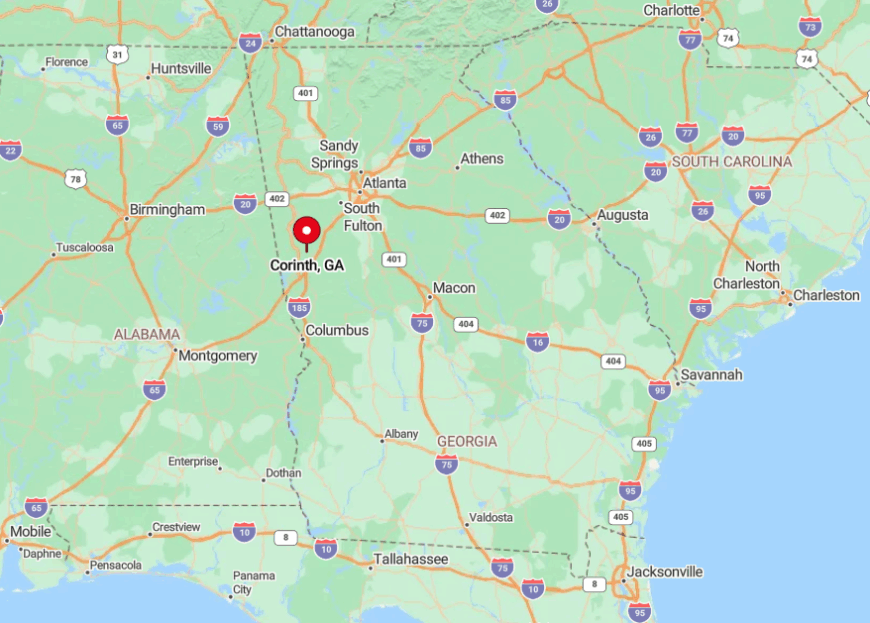
The hamlet rests in east-central Heard County, about twenty miles southwest of Carrollton and five miles off GA-34. Hardwood ridges on three sides block the view of larger highways, and the Chattahoochee National Forest begins just over the county line, limiting future development.
Visitors reach Corinth by turning south on Corinth-Poseyville Road and following a narrow blacktop that narrows to gravel near the volunteer fire station. Cell service flickers along the way, a subtle hint that metropolitan Atlanta feels worlds away.
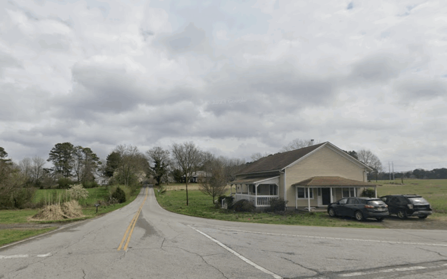
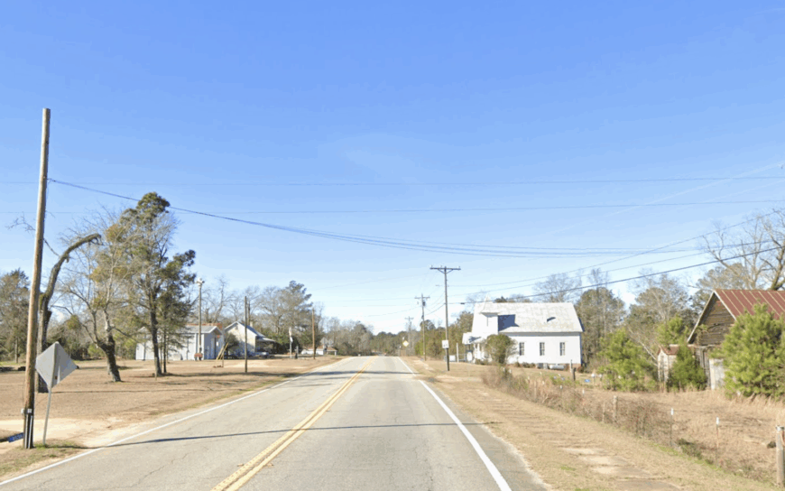
9. Veal
Veal shelters fewer than 250 people in a patchwork of one-acre homesteads tucked into hollows carved by Little Indian Creek. Residents hike steep ridge trails, paddle the creek when rainfall cooperates, and gather on Friday evenings at the two-room Veal Community Center for bluegrass jams that draw musicians from three counties.
Timber management and small poultry operations provide most of the local jobs, while a vintage sawmill north of the creek still custom-cuts pine boards on demand. The absence of street numbers on many mailboxes signals how slowly growth arrives here.
Tall poplars and shortleaf pines form a natural sound barrier, muting the roar of distant highways. With no gas station and only a roadside honor-system produce shed, Veal keeps outside distractions to a bare minimum.
Where is Veal?
🔥 Would you like to save this?
Veal lies along a bend of GA-34 roughly ten miles west of Franklin and eight miles east of the Alabama line. Ridges rise quickly on both sides, limiting cell towers and aided by thick forest buffers that shield the settlement from through traffic.
Motorists leave the highway at Veal Road, a curvy lane that crosses two single-lane bridges before dropping into the valley. The nearest four-lane route sits more than fifteen minutes away, ensuring the night air remains filled with katydids rather than engine brakes.
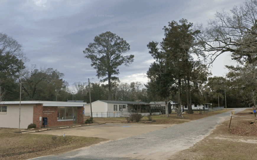
8. Springvale
Springvale’s population hovers around 180, most of whom live along two intersecting county roads framed by hayfields and quail plantations. Locals share leisurely Saturdays tending food plots for wild birds, checking trail cameras, and sipping sweet tea at the lone country store that doubles as post office and bait shop.
Row-crop farming and game-management services create seasonal employment, supplemented by craft carpenters who restore historic farmhouses in nearby Cuthbert. Visitors notice the absence of traffic noise almost immediately, thanks to miles of unpaved lanes that discourage hurried driving.
The community keeps porch lights low to protect night-hunting owls, contributing to remarkably dark skies. Distance from interstates and the dominance of private land holdings combine to keep Springvale quietly insulated.
Where is Springvale?
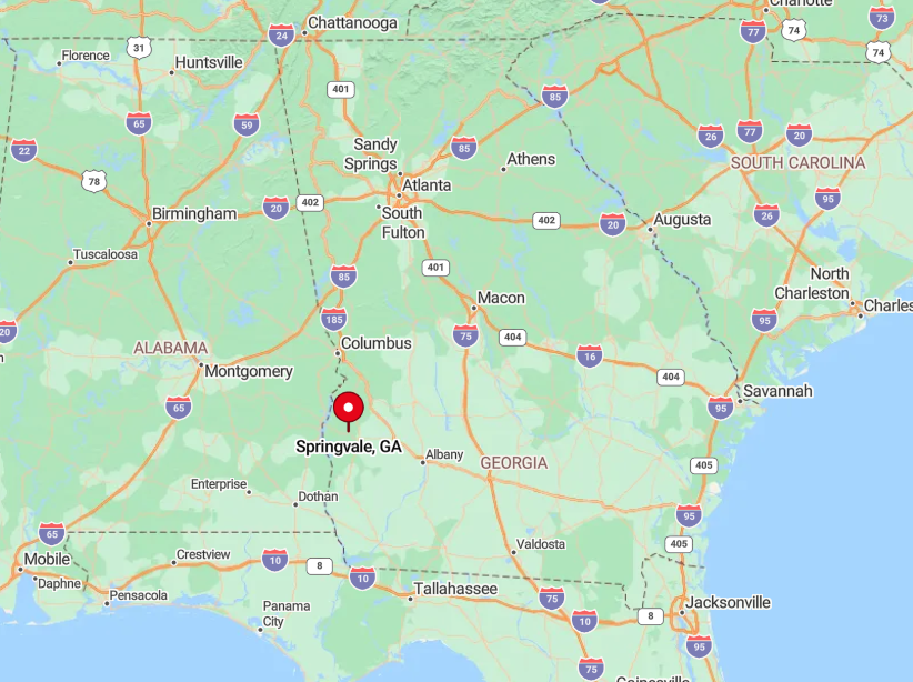
Positioned in southern Randolph County, Springvale sits twelve miles south of Cuthbert and more than twenty miles from US 82, the nearest major highway. Surrounding pine plantations absorb road sound and visually hide the settlement from passersby.
Access comes via County Road 192, a graded dirt route that can turn slick after summer storms, making four-wheel drive a wise idea. Those minor inconveniences do wonders for preserving Springvale’s hush.
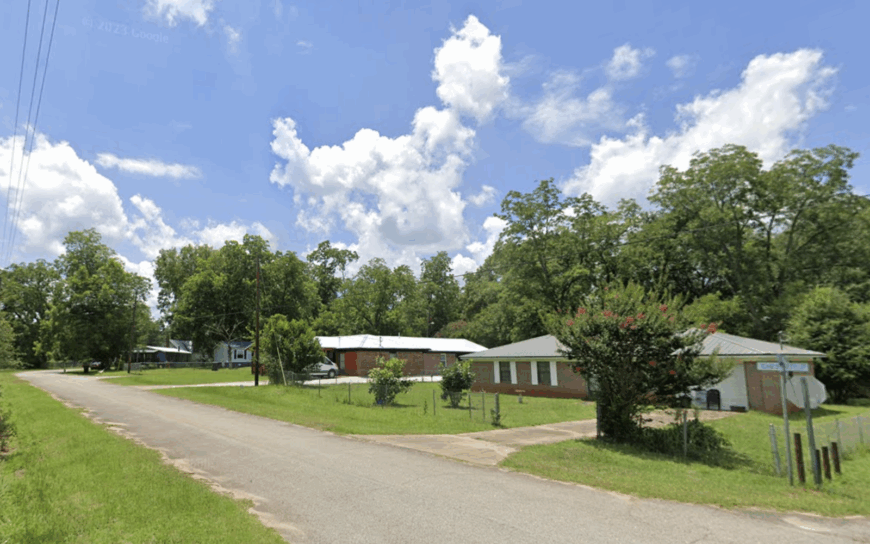
7. Cedar Springs
Cedar Springs records about 250 permanent residents spread along longleaf pine flats watered by a namesake spring that once powered a gristmill. Fishing in the Spring Creek backwaters, hunting turkey on WMA land, and swimming in the clear spring head keep outdoor lovers busy year-round.
The Georgia-Pacific wood-products plant just outside the hamlet offers steady employment, complemented by family-owned peanut farms that dot the landscape. Commercial buildings are scarce beyond a small post office and an auto repair shed, reinforcing the area’s rural pace.
At night, the spring’s constant trickle replaces traffic hum, and fireflies outnumber porch bulbs. With the nearest grocery store a half-hour drive, Cedar Springs remains pleasantly detached from commercial corridors.
Where is Cedar Springs?
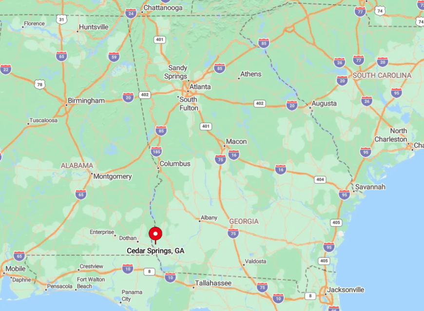
The community sits in southwest Georgia, twenty-five miles south of Blakely and a short jog east of the Florida line. Major highways bypass the area, leaving State Route 273 as the main artery that rolls through forests before dead-ending near the paper mill.
Travelers coming from Albany exit US 27 and follow two-lane routes through farmland and pine barrens until cell reception fades. That thinning signal signals arrival in a place where artesian water runs clearer than any Wi-Fi bar.
6. Coleman
Coleman claims fewer than 300 residents, their homes arranged on a sleepy grid laid out during the railroad boom of the late 1800s. Weekend pastimes include treasure-hunting for railroad artifacts, tending victory gardens in spacious yards, and sitting beneath massive pecan trees that predate the town charter.
Agriculture and forestry remain the primary industries, though a growing number of telecommuters take advantage of a recent fiber-optic line that followed the old rail bed. Abandoned depots and boarded storefronts lend an air of frozen history that tourism has yet to disturb.
Pine plantations ring the settlement, keeping neighbors at more than a stone’s throw and wildlife at the doorstep. The scarcity of streetlights and the lingering whistle of distant freight set a tranquil tone most nights.
Where is Coleman?
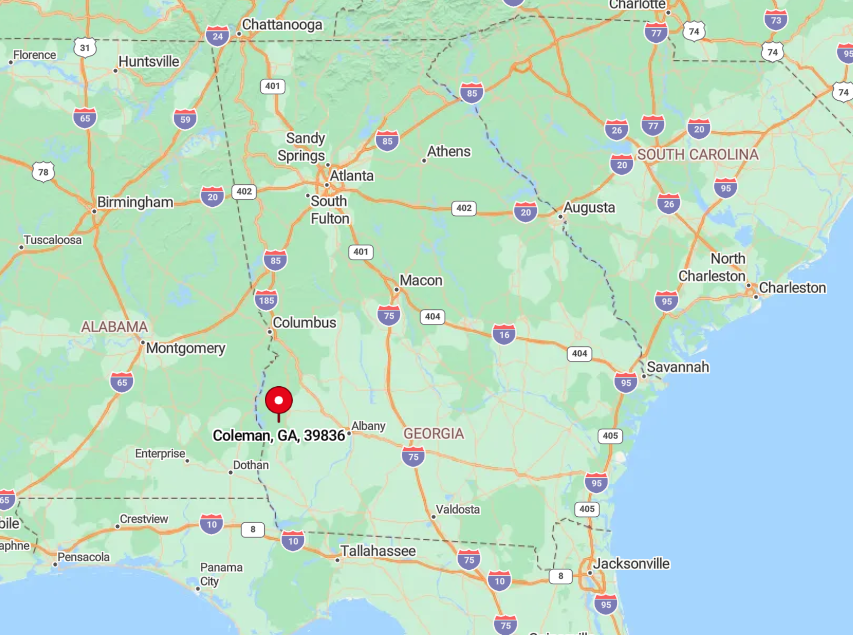
Located along GA 266 in eastern Randolph County, Coleman sits fifteen miles west of Dawson and well off any interstate corridor. Managed pine tracts create a visual buffer, making the town nearly invisible until travelers cross an old steel bridge on the county line.
Most visitors arrive via GA 41, a two-lane road flanked by cotton fields and deer crossings. The gentle detour insures only those who truly seek the place will find it.
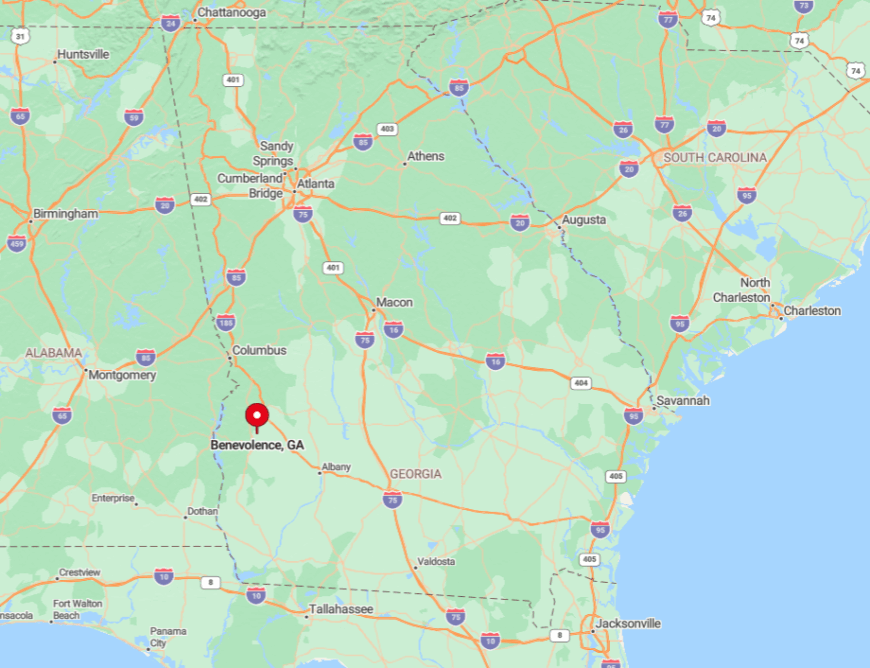
5. Benevolence
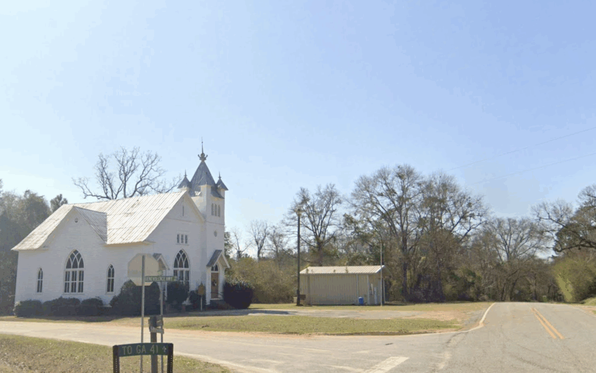
Benevolence supports a population of just under 200, its few clapboard homes and a circa-1900 church crouched at a crossroads framed by pecan groves and cattle pastures.
Residents host summer fish fries under giant live oaks, ride four-wheelers along red-clay farm tracks, and help manage a community seed-saving library stashed inside the old cotton warehouse.
Livestock ranching and seasonal pecan harvesting drive the modest local economy, with occasional work coming from Conservation Reserve Program projects on surrounding land. Half of the area remains undeveloped, giving bobwhite quail and whitetail deer free range across open fields.
Dirt roads outnumber paved surfaces, so passing cars raise dust but little noise. Those unpaved miles, coupled with minimal cell coverage, help Benevolence stay wonderfully off the radar.
Where is Benevolence?
The settlement lies eight miles north of Cuthbert at the intersection of Benevolence Highway and County Road 62. Tall pecan rows and pasture fences create a living fence that muffles incoming traffic.
Access requires leaving US 27 and following a serpentine route where GPS directions often mispronounce the town’s optimistic name. By the time visitors figure it out, the soft rustle of tree leaves has already rendered the journey worthwhile.
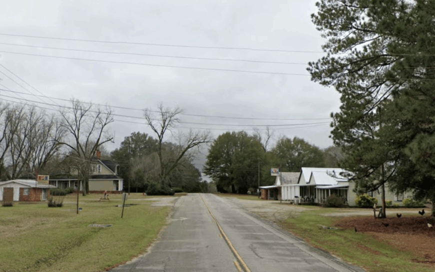
4. Omaha
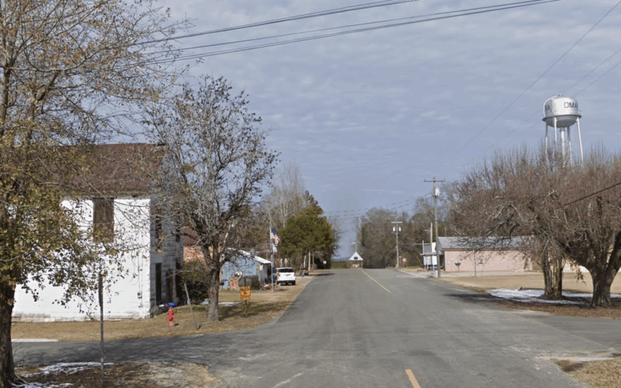
Omaha counts roughly 250 inhabitants scattered along the bluffs overlooking the Chattahoochee River, where clapboard cottages perch on multi-acre lots under towering oaks.
Kayaking the river’s serpentine bends, bird-watching at Florence Marina State Park, and browsing regional art at the old cotton warehouse keep life interesting without crowds. The tiny marina and a family-run catfish farm supply most local jobs, supplemented by hunting-lease management on adjacent bottomland.
No chain stores stand within twenty miles, so residents frequent pop-up farmers markets for fresh produce and handmade soap. Even mail delivery pauses at midday, evidence of an unhurried routine. Thick hardwood bottomlands on three sides and the wide river on the fourth wrap Omaha in natural isolation.
Where is Omaha?
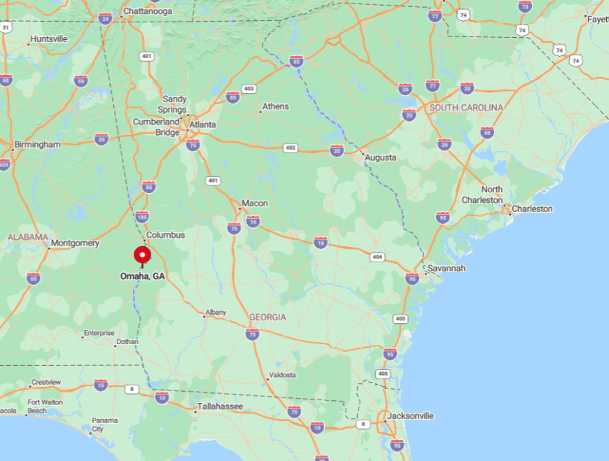
Omaha rests in southern Stewart County, just north of the Walter F. George Lock and Dam on the Georgia-Alabama border. Set well off US 27, the community is reachable by GA 39 spur, which twists through forest before climbing the river bluff.
Limited signage and a surprising number of cattle guards slow any through traffic that might wander in. River fog often knocks out radio reception, adding another layer to the town’s sense of remove.
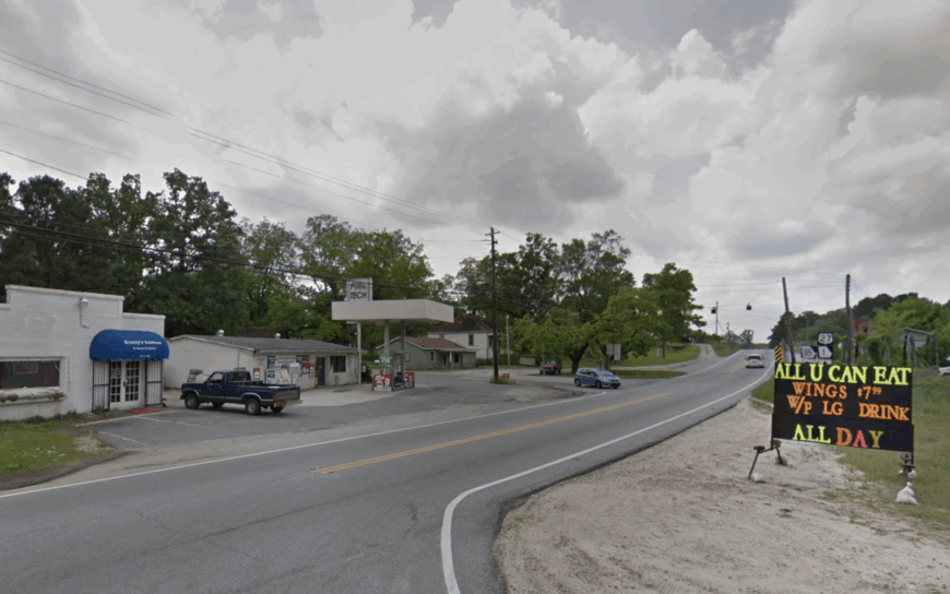
3. Louvale
Louvale supports fewer than 300 residents clustered around a trio of white-board churches dating back to the 1850s. Visitors tour these National Register landmarks, photograph vintage cemetery art, and follow farm lanes that stretch toward distant silos.
Large-scale row cropping of cotton and peanuts dominates the workforce, with seasonal farmhands supplementing family labor during harvest. Main Street hosts only a modest farm-supply shed, leaving serious shopping for trips to Lumpkin or Eufaula.
Ten thousand undeveloped acres fan out from the highway, offering uninterrupted bird-song and skies unmarred by billboards. That vast acreage buffers Louvale from any hint of commercial bustle.
Where is Louvale?
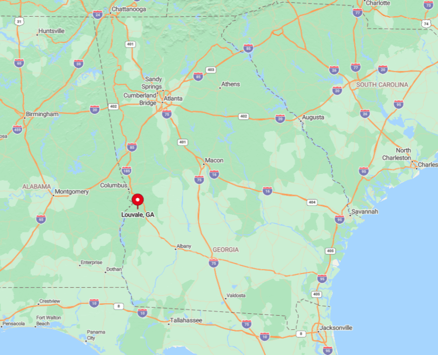
The village stands on GA 27 in north-central Stewart County, about nine miles west of Lumpkin and worlds away from suburban encroachment. Only one paved road leads in, while secondary routes quickly dissolve into packed clay flanked by broom-sage.
Travelers approaching from Columbus exit the four-lane at Florence Road and spend the next thirty minutes weaving past peanut fields. The lack of alternative routes ensures through traffic remains practically nonexistent.
2. Cataula
Cataula’s gently rolling valleys host nearly 1,200 residents, yet the spread of three-plus-acre lots and hardwood forests keeps neighbors out of sight. Families spend afternoons exploring hidden waterfalls on Mulberry Creek, attending youth rodeos at the sheriff’s arena, and visiting century-old barns that dot the pastures.
Equine boarding, small beef herds, and a smattering of home-based tech jobs make up the economic patchwork. Interstate 185 sits fifteen miles away, so traffic seldom intrudes on the chorus of cicadas.
Thick stands of oak and hickory line every fence row, and deer are more common than delivery drivers. The result is an atmosphere of genuine countryside calm despite the moderate head-count.
Where is Cataula?
The community lies along US 27 Alternate between Columbus and Pine Mountain, yet elevation changes hide it from the highway in several spots. Absence of direct interstate ramps and a tangle of county roads contribute to its tranquil vibe.
Travelers turn east onto Mount Airy Road or west onto Kinikinik, both winding lanes that discourage hurried driving. Reaching Cataula feels like entering a pastoral pocket suspended between city and state park.
1. Ellerslie
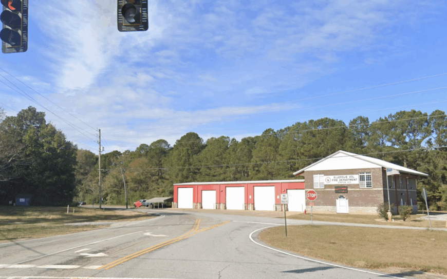
Ellerslie is an unincorporated pine-covered enclave of roughly 1,000 residents whose five-acre horse farms lie eighteen miles north of Columbus behind the natural barrier of Pine Mountain.
Locals ride shaded bridle trails, gather for blue-ribbon barbecue at the volunteer firehouse, and follow the cane-pole fishing circuit along the mountain’s spring-fed ponds. A blend of equine services, specialty nurseries, and remote professional work underpins the local economy, keeping commute requirements low.
Gravel lanes and cul-de-sacs break away from GA 85, reducing through traffic to a trickle. Night skies here deliver textbook constellations thanks to minimal lighting ordinances and tall pines that block the urban glow. Together, these features create a hush that visitors notice the moment tires leave the pavement.
Where is Ellerslie?
Ellerslie sits on the eastern slope of Pine Mountain in central Harris County, nestled between GA 315 and GA 85. The mountain ridge forms a windbreak and limits line-of-sight for development, reinforcing the town’s tucked-away feeling.
Access from Columbus involves a twenty-minute scenic climb past Callaway Gardens’ lesser-known trailheads and a descent into thick pine forest. With no interstate exit nearby, the settlement remains blissfully off the main drag.


