Southwest West Virginia has always felt like a region that guards its own time. Valleys fold in so tightly that sunlight lingers late in the day, and the ridges rise like sentinels above creeks that never stop moving. From the Tug Fork to the Guyandotte, water cuts the land into pockets where towns appear as sudden as switchbacks, then vanish behind the next bend.
In order to come up with the very specific design ideas, we create most designs with the assistance of state-of-the-art AI interior design software. Also, assume links that take you off the site are affiliate links such as links to Amazon. this means we may earn a commission if you buy something.
The hills here carry stories older than coal—Buffalo Creek, Blair Mountain, and the Tug Fork Valley all mark chapters of both struggle and resilience. Twin Falls State Park and Chief Logan Park offer the kind of quiet trails that remind you how quickly the forest reclaims its ground once machines leave. Even the lakes—R.D. Bailey’s broad waters and the smaller pools at Berwind and Chief Logan—hold their own kind of hush, bordered by green walls of oak and sycamore.
Most of these towns grew around mines, timber landings, or narrow rail spurs, and many still keep their rhythm from those roots. Church bells, fishing on Panther Creek, or an evening ride along the Hatfield–McCoy trails carry forward traditions that have little need for neon or highways. The silence is not emptiness but a measure of how close the ridges still hold.
Our survey of 25 secluded towns moves through this landscape one hollow at a time. From Lincoln County farms to McDowell’s high ridges, the places ahead share a sense of remoteness that isn’t curated—it’s lived. These are towns where rivers still decide the road’s course, where history is written into the slopes, and where quiet is not something you seek but something you inherit.
25. Griffithsville
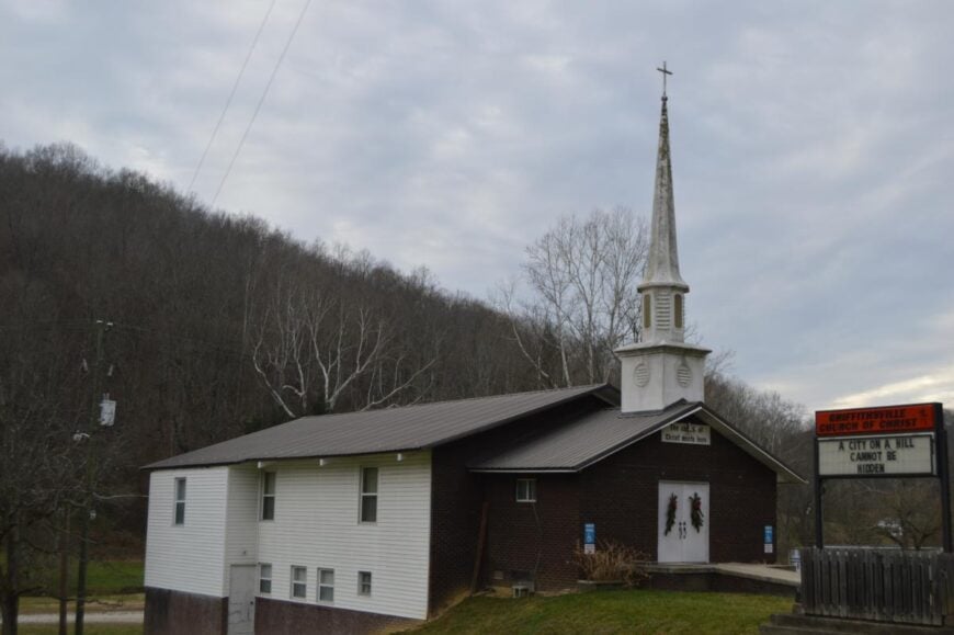
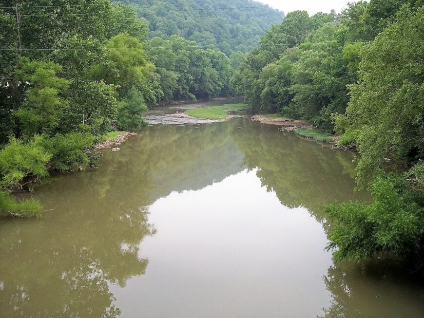
Griffithsville rests in the valleys of Lincoln County, where narrow roads curve through thick woods and streams slip quietly beneath old bridges. The hills here rise green in summer, blaze with color in autumn, and settle into a hushed gray when winter comes.
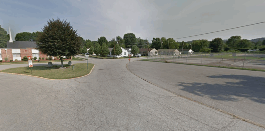
Life is simple and tied to the land, with small farms, logging, and commuting to nearby towns forming much of the economy. Evenings bring the sound of crickets and church bells, while mornings often start with mist lifting slowly off the ridges.
Visitors may find charm in country drives, fishing along quiet creeks, or stopping into small gatherings that anchor community life. Griffithsville leaves its mark not with bustle, but with the way its hills and hollows seem to fold the world into stillness.
Where is Griffithsville?
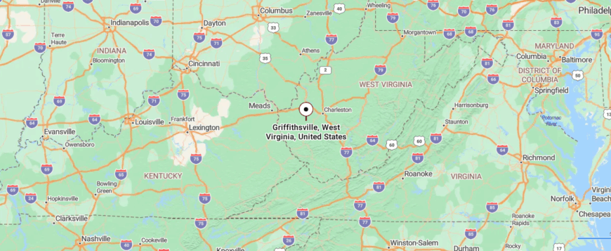
Griffithsville is a small community in Lincoln County, set in the southwestern hills of West Virginia. It’s about 25 miles south of Charleston, reached by winding state routes that follow narrow valleys and wooded ridges.
The drive carries you past hollows and creeks, where the road bends sharply with the land. By the time you arrive, Griffithsville feels tucked deep in the hills, a quiet place where the ridgelines hold the world close.
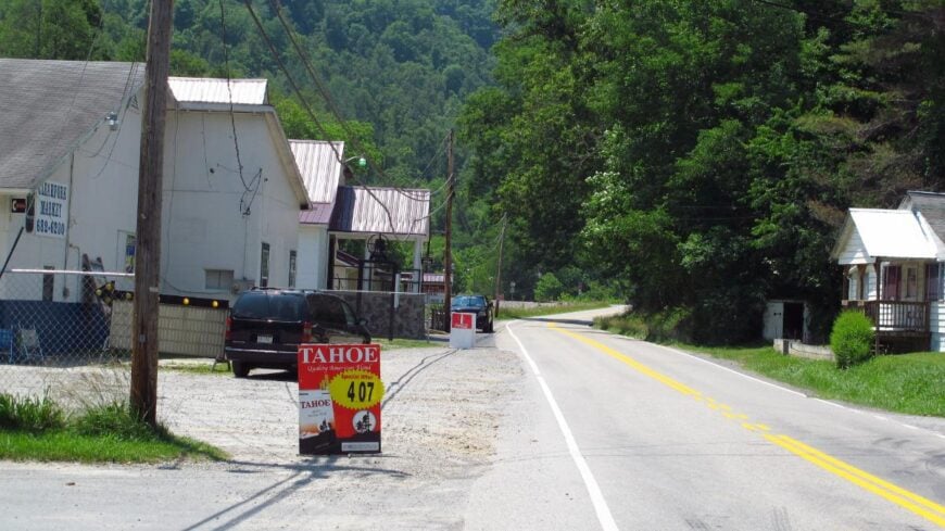
24. Branchland
Branchland traces its roots to the days when the Guyandotte River carried timber and goods through the hills of Lincoln County. The river still winds past the town, though now it flows more as a reminder of history than a lifeline of trade.
Life here is built on small farms, local services, and families who have stayed through generations, keeping the town grounded in tradition. Fishing along the riverbanks, church gatherings, and quiet drives through the hollows mark much of the rhythm of daily life.
The economy is modest, with residents often commuting to nearby towns while still holding fast to their rural ties. Branchland endures as a place where the past is never far, and where the land itself feels like an old story still being told.
Where is Branchland?
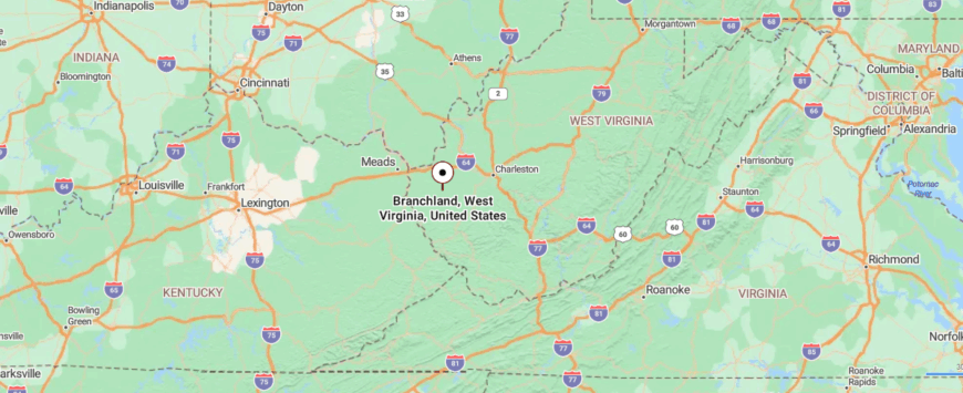
Branchland sits in Lincoln County in southwestern West Virginia, spread along the Guyandotte River. It’s about 30 miles southwest of Charleston, reached by following winding state routes that hug the water and weave through wooded hollows.
The journey is slow and curving, with river bends and forested slopes guiding the way. By the time you arrive, Branchland feels like a place where the hills fold in, keeping it sheltered and apart.
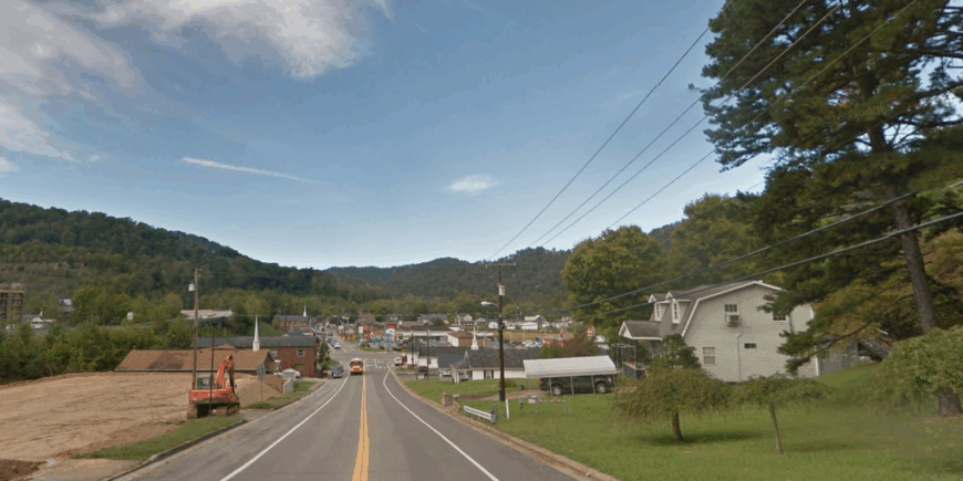
23. Glen Fork
Glen Fork sits in Wyoming County, where two streams meet and the ridges rise close around the town. It’s a place where life gathers at churches, ballfields, and school events, weaving a sense of belonging that holds the community together.
Small businesses, coal heritage, and nearby commuting shape much of the economy, while the surrounding hills provide hunting, fishing, and ATV trails for those who know the backroads. The sound of children playing, Sunday choirs, and summer cookouts carries through the hollows, giving the town a familiar heartbeat.
Visitors don’t come for landmarks so much as the people, who share their stories with warmth and pride. Glen Fork shows how a small town can be measured not in size, but in the closeness of its community.
Where is Glen Fork?
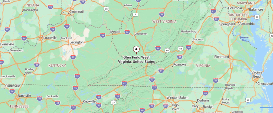
Glen Fork lies in Wyoming County in southern West Virginia, surrounded by steep ridges and narrow valleys. It’s about 12 miles northeast of Oceana, reached by winding two-lane roads that follow the course of creeks through the mountains.
The approach is quiet and twisting, with forested slopes rising close on either side. By the time you arrive, Glen Fork feels like a small clearing held tight within the hills.
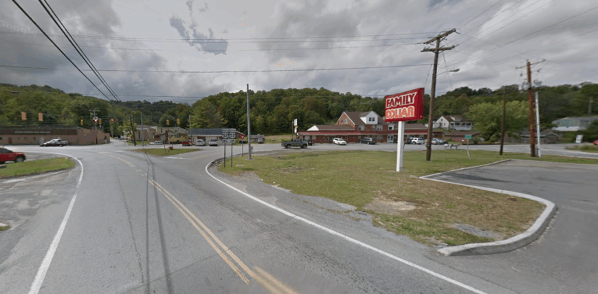
22. Clothier
Clothier lies tucked in the narrow hollows of Boone County, where steep ridges crowd close and creeks run cold along the roadside. The town carries echoes of its coal camp past, though now the forest has reclaimed much of what industry left behind.
Life here is quiet, marked by the sound of rushing water, the rustle of trees, and the occasional train cutting through the valley. Hunting, fishing, and long walks along wooded trails keep the outdoors at the center of daily rhythm.
The economy is modest, tied to commuting, small services, and the land itself that has long shaped how people live here. Clothier stays with you in the way the hills seem to fold around the town, creating a world apart from everything beyond the ridge.
Where is Clothier?
Clothier is tucked into Boone County in southern West Virginia, a community shaped by the narrow valleys of the coalfields. It’s about 50 miles south of Charleston, reached by winding state routes that follow the creeks deep into the hills.
The road twists sharply through wooded hollows, with mountains closing in on either side. By the time you arrive, Clothier feels enclosed by the land, a place set apart within the folds of the ridges.
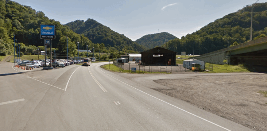
21. Premier
Premier began as a coal camp in McDowell County, one of many small communities built to serve the mines that once fueled the region. Though the industry has declined, the town still carries the imprint of those days in its rows of houses and the memories passed down through families.
The surrounding mountains are thick with forest, offering quiet trails, fishing streams, and backroads that seem to lead deeper into history. Jobs now often come from nearby towns, while the local economy holds steady through small services and the legacy of coal.
Community gatherings, church events, and family reunions keep neighbors connected in the same way miners once did. Premier endures as a reminder of both the challenges and the resilience born from life in West Virginia’s coalfields.
Where is Premier?
Premier sits in McDowell County in the deep southern coalfields of West Virginia. It’s about 5 miles northeast of Welch, reached by narrow mountain roads that curve along the Tug Fork Valley.
The approach is hemmed in by steep wooded slopes and old rail lines, a reminder of the area’s mining past. By the time you arrive, Premier feels like a hidden settlement pressed closely into the mountainside.
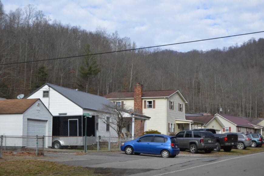
20. Cyclone
Cyclone rests deep in Wyoming County, where winding roads follow the Guyandotte River through hollows shaded by thick forest. The town’s name feels fitting—storms roll through the valleys with sudden force, leaving behind the scent of rain and the shine of wet leaves on the hills.
Daily life is simple, shaped by small farms, local services, and the steady connection to nearby towns. Hunting dogs bay in the evenings, church bells carry across the ridges on Sundays, and the river itself hums like a constant song.
The economy is modest, tied to the land and to families who have called the holler home for generations. Cyclone lingers in memory not because it is loud, but because it shows how deeply quiet places can sing.
Where is Cyclone?
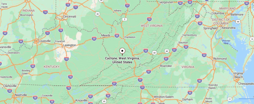
Cyclone is located in Wyoming County in southern West Virginia, tucked along the Guyandotte River. It’s about 10 miles south of Oceana, reached by narrow two-lane roads that wind beside the river’s bends.
The drive is shaded by steep forested hills that rise close to the roadside. By the time you arrive, Cyclone feels like a quiet pocket carved neatly into the valley.
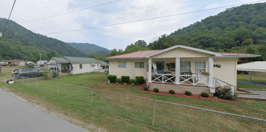
19. Kopperston
🔥 Would you like to save this?
Kopperston grew as a coal town in Wyoming County, and though the mines have quieted, the sense of community they forged still runs strong. Neighbors gather at churches, school events, and ballfields, where traditions carry on from one generation to the next.
Small businesses and commuting jobs shape much of the economy today, while the mountains surrounding town still offer hunting, fishing, and ATV trails that keep people close to the land. Summer brings festivals and reunions, when families return to celebrate roots that never quite fade.
The rhythm here is one of resilience, with people leaning on one another in ways only small towns seem to know. Kopperston reminds you that while industries change, the bonds of community remain.
Where is Kopperston?
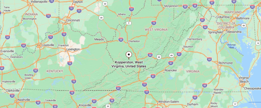
Kopperston lies in Wyoming County in the southern mountains of West Virginia, once tied closely to the coal camps of the region. It’s about 15 miles west of Oceana, reached by curving back roads that climb and dip through wooded ridges.
The approach passes old mining traces and stretches of forest, with few signs of bustle along the way. By the time you arrive, Kopperston feels like a place where the mountains have settled in around the town.
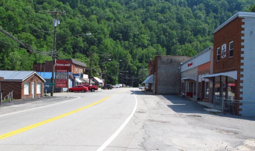
18. Bruno
Bruno sits along the Guyandotte River in Logan County, a town shaped by the coal industry that once drew workers and families into its narrow valley. Traces of that heritage remain in the stories told by longtime residents and in the layout of homes clustered near the water and hillsides.
Today, small businesses, commuting, and ties to nearby Logan help sustain the local economy, while the land continues to offer hunting and fishing that have always been part of daily life. Community life revolves around churches, school events, and the neighborly connections that hold everyone close.
Visitors often pass through on winding roads and find a town that wears its history quietly, but firmly. Bruno endures as a place where the past is never far away, shaping the rhythm of the present.
Where is Bruno?
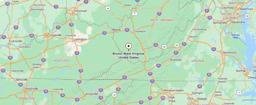
Bruno is a small community in Logan County, resting along the Guyandotte River in southern West Virginia. It’s about 12 miles south of Logan, reached by Route 80 as it winds closely beside the water and between steep hillsides.
The journey feels narrow and enclosed, with river bends and forested slopes shaping every turn. By the time you arrive, Bruno feels like a town held gently in the curve of the valley.
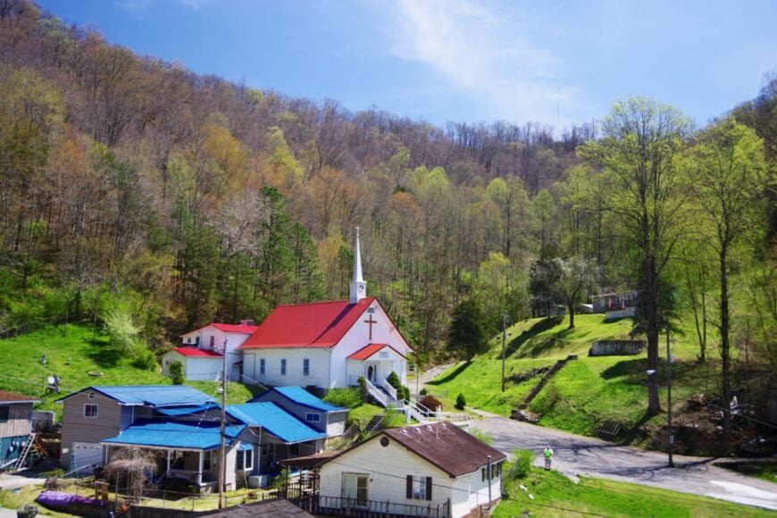
17. Gilbert Creek
Gilbert Creek winds its way through Mingo County, giving the town both its name and its steady rhythm. The sound of rushing water is a constant presence, echoing against steep ridges that rise close on either side.
Houses sit tucked into the hollows, where life unfolds quietly among church gatherings, school events, and the simple routines of small-town living. The economy is modest, with families relying on local services, nearby jobs, and the land itself for hunting and fishing.
Visitors often find themselves pausing at the creek’s edge, where reflections of the trees ripple like fragments of a story. Gilbert Creek lingers not through bustle, but through the way water and hills seem to hold the town gently in place.
Where is Gilbert Creek?
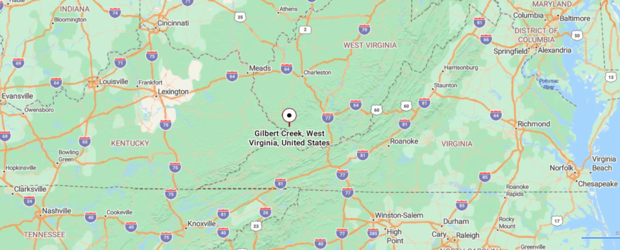
Gilbert Creek lies in Mingo County in the southwestern corner of West Virginia, surrounded by steep Appalachian ridges. It’s about 6 miles north of Gilbert, reached by winding mountain roads that trace the narrow valley floor.
The drive passes small clusters of homes tucked between the creek and the hills, with the landscape closing in on either side. By the time you arrive, Gilbert Creek feels like a quiet ribbon of settlement woven deep into the mountains.
16. Kermit
Kermit sits on the Tug Fork River in Mingo County, where West Virginia meets Kentucky, giving it the feel of a crossroads town. Its roots run back to the coal industry, but today the community leans on small businesses, schools, and the steady flow of river life.
Neighbors come together for church events, high school games, and local festivals that keep the calendar lively and the town close-knit. Fishing and boating on the Tug Fork remain part of the rhythm, just as hunting and hiking tie families to the surrounding hills.
The economy is sustained by commuting jobs and local trade, but the heart of Kermit is in its people and their gatherings. It’s the kind of place that shows how tradition and connection can carry a town forward even as times change.
Where is Kermit?
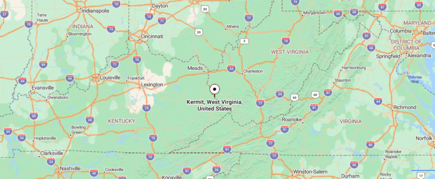
Kermit sits in Mingo County on the western edge of West Virginia, right along the Tug Fork River at the Kentucky border. It’s about 40 miles southwest of Logan, reached by following Route 65 through winding valleys before crossing into town.
The approach is marked by close hills and the steady line of the river running beside the road. By the time you arrive, Kermit feels like a border town held snug between water and mountain slopes.
15. Blair
Blair is etched into American history as the site of the Battle of Blair Mountain, where coal miners rose up in one of the largest labor uprisings in the nation. The ridges that once echoed with gunfire now stand quiet, covered in thick forest and winding trails.
Though the mines have slowed, their legacy still shapes the town, with many families carrying stories of hard work and resilience. The economy today is modest, built on local services, small businesses, and commuting beyond the hills for work.
Visitors come to hike the mountains, fish the creeks, or trace the history that still lingers in markers and memories. Blair reminds you how a small town can hold both the scars of conflict and the strength of survival.
Where is Blair?
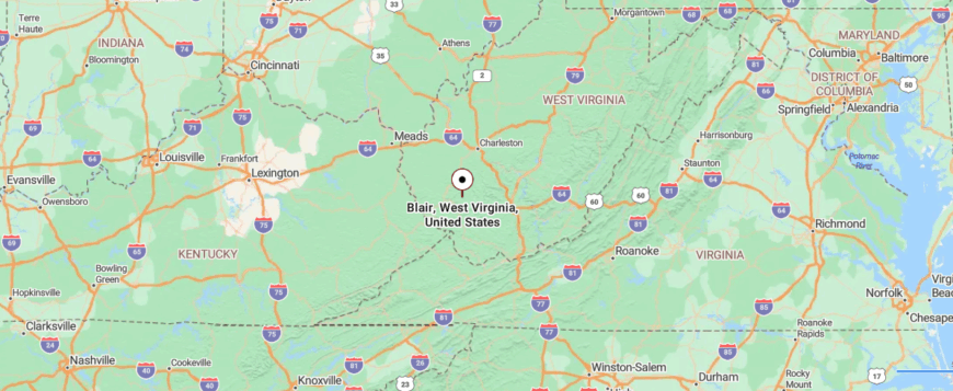
Blair is tucked into Logan County in southern West Virginia, set in a narrow valley once central to coal mining history. It’s about 20 miles north of Logan, reached by winding mountain roads that follow creeks and hollows into the hills.
The approach is steep and curving, with wooded ridges pressing close against the roadway. By the time you arrive, Blair feels enclosed and quiet, as if the mountains themselves are keeping it hidden.
14. Itmann
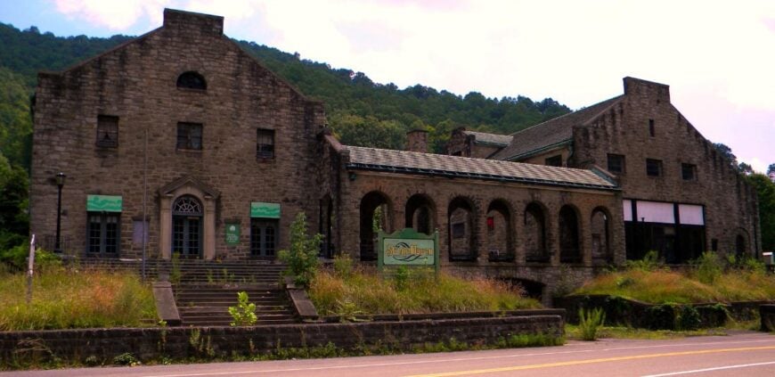
Itmann rests in the folds of Wyoming County, where the Guyandotte River curves through valleys shaded by dense forest. The old stone company store still stands, a reminder of when coal built the town and filled its streets with workers and families.
Now the hillsides are quieter, the sound of rushing water and birdsong carrying farther than the hum of industry. The economy has shifted, with small businesses and commuting shaping much of daily life while traces of coal’s legacy remain.
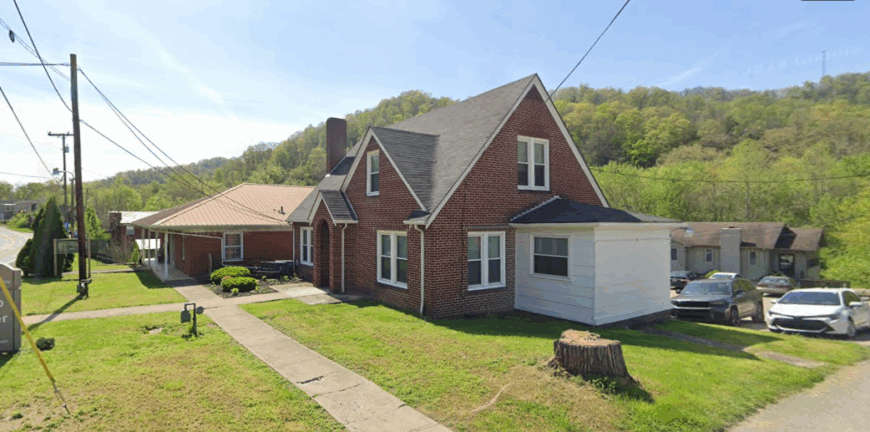
Visitors find charm in the blend of history and landscape—walking past weathered buildings, fishing the creeks, or exploring trails that cut through the ridges. Itmann lingers in memory as a place where nature and history meet, each softening the other’s edges.
Where is Itmann?
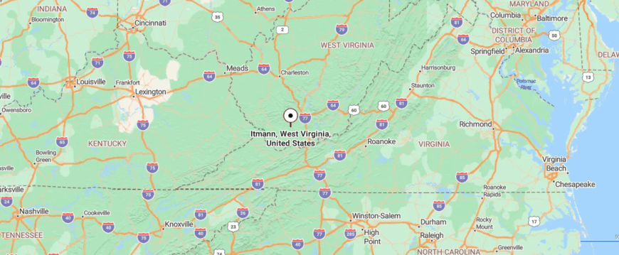
Itmann is located in Wyoming County in southern West Virginia, a community shaped by the coal heritage of the valley. It’s about 10 miles east of Pineville, reached by narrow two-lane roads that follow the Guyandotte River’s winding course.
The drive slips between forested hills and traces of old mining towns, with the river never far from sight. By the time you arrive, Itmann feels like a small pocket of life folded deep into the mountains.
13. Crum
🔥 Would you like to save this?
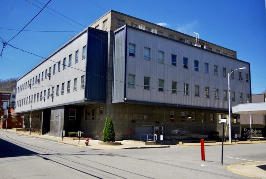
Crum rests in Wayne County near the Tug Fork River, a small town where neighbors still anchor life around schools, churches, and family traditions. High school games and community events draw crowds, keeping a sense of togetherness alive even as industries have shifted over the years.
The economy leans on small businesses, local services, and commuting, with the surrounding land still offering farming and hunting. Riverbanks provide a place for fishing and quiet reflection, while backroads connect Crum to the wider Appalachian hills.
Festivals and reunions often bring families back, turning the town into a gathering place that feels larger than its size. Crum carries the reminder that even the smallest towns thrive when people keep their connections strong.
Where is Crum?
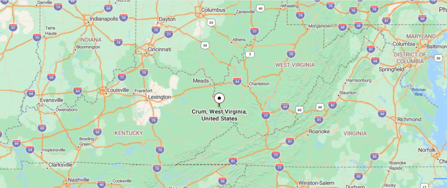
Crum rests in Wayne County in the far southwestern tip of West Virginia, not far from the Kentucky border. It’s about 30 miles south of Huntington, reached by U.S. Route 52 as it narrows into winding stretches along the Tug Fork River.
The journey carries you past wooded hills and quiet bends of water, with only scattered clusters of houses along the way. By the time you arrive, Crum feels like a settlement pressed gently between river and ridge, apart from the pace of larger towns.
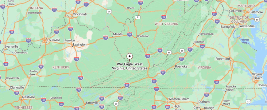
12. Accoville
Accoville lies in Logan County, tucked into a narrow valley where mountains rise steeply on every side. The sound of the creek cutting through town mixes with the hush of wind in the trees, a reminder of how closely the land shapes daily life.
Coal once defined Accoville, and its memory lingers in old tipples and stories passed down through families who worked the mines. Today, many residents rely on nearby towns for work, while still finding connection in church gatherings, school events, and neighborhood suppers.
Hunting, fishing, and drives along winding mountain roads keep the outdoors at the center of community life. Accoville leaves its impression through the way sound, history, and landscape all fold together into one steady rhythm.
Where is Accoville?
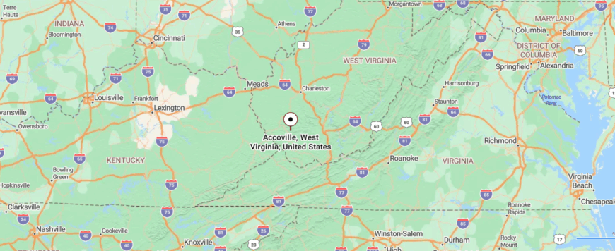
Accoville sits in Logan County in southern West Virginia, nestled in a narrow valley shaped by coal mining history. It’s about 18 miles south of Logan, reached by winding mountain roads that follow Buffalo Creek through the hills.
The approach is tight and shaded, with steep slopes pressing close to the roadway and the creek running alongside. By the time you arrive, Accoville feels tucked away in the fold of the mountains, quiet and enclosed.
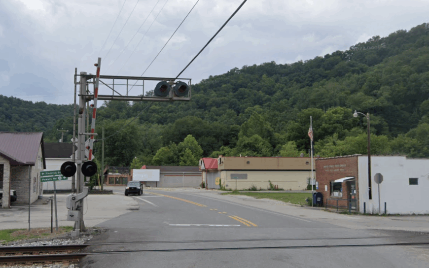
11. War Eagle
War Eagle began as a coal camp in Mingo County, one of many small towns carved out of the mountains to serve the mines. The rows of company houses and the old post office once marked a bustling settlement filled with miners and their families.
Though the coal industry has faded, its legacy still shapes the land and the stories told by those who remain. Today, the economy leans on commuting, small services, and the quiet resilience of families who call the valley home.
Hunting, fishing, and ATV riding carry forward the outdoor traditions that have always tied people to these hills. War Eagle endures as a place where history is felt not only in books, but in the ridges and hollows that remember every generation.
Where is War Eagle?
War Eagle lies in Mingo County in the southern Tug Fork Valley of West Virginia. It’s about 10 miles southeast of Williamson, reached by following U.S. Route 52 as it winds along the river and between steep ridges.
The approach is narrow and twisting, with sharp bends where the roadway squeezes between forested slopes and water. By the time you arrive, War Eagle feels like a small settlement pressed tightly into the valley, its isolation shaped by the surrounding mountains.
10. Ranger
Ranger is a small unincorporated community in Lincoln County, stretched out along the Guyandotte River where narrow bottomland gives way to steep, wooded ridges. The town is quiet, with farmsteads scattered along the bends and old churches that anchor the valley’s rhythm. Life here still leans on family farming, small local services, and commutes to larger towns, but the sense of place is tied more closely to the surrounding hills and water than to commerce.
The community is closely connected to the river. Anglers cast for smallmouth bass in shaded pools, and weekend travelers sometimes pause at the public access site just outside town. Forested slopes rise close on either side, keeping traffic sounds muted and the settlement visually tucked into its valley. Seasonal hunting and ATV trails on nearby ridges add to the outdoor texture that shapes daily routines.
Isolation is part of Ranger’s character. The nearest chain grocery stores and services sit miles away in Hamlin or Barboursville, reinforcing a slower pace. With no stoplights, just one gas station, and a two-lane road tracing the river’s path, the town retains an atmosphere that feels sheltered from the quick churn of larger communities. Ranger’s seclusion is not staged but inherited, a product of geography and the way the hills have always kept it apart.
Where is Ranger?
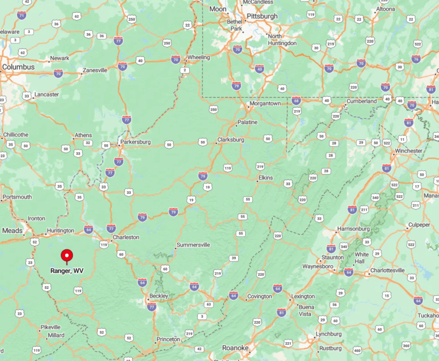
Ranger lies in southeastern Lincoln County along West Virginia Route 10, about an hour southwest of Charleston. Towering ridgelines on both sides of the narrow river valley block cell service in spots and turn every sunrise into a private light show.
Visitors generally exit I-64 at Ona or Milton and follow winding two-lane roads that trace the Guyandotte’s bends. With no stoplights and only one gas pump, arrival feels less like a road trip and more like slipping quietly off the map.
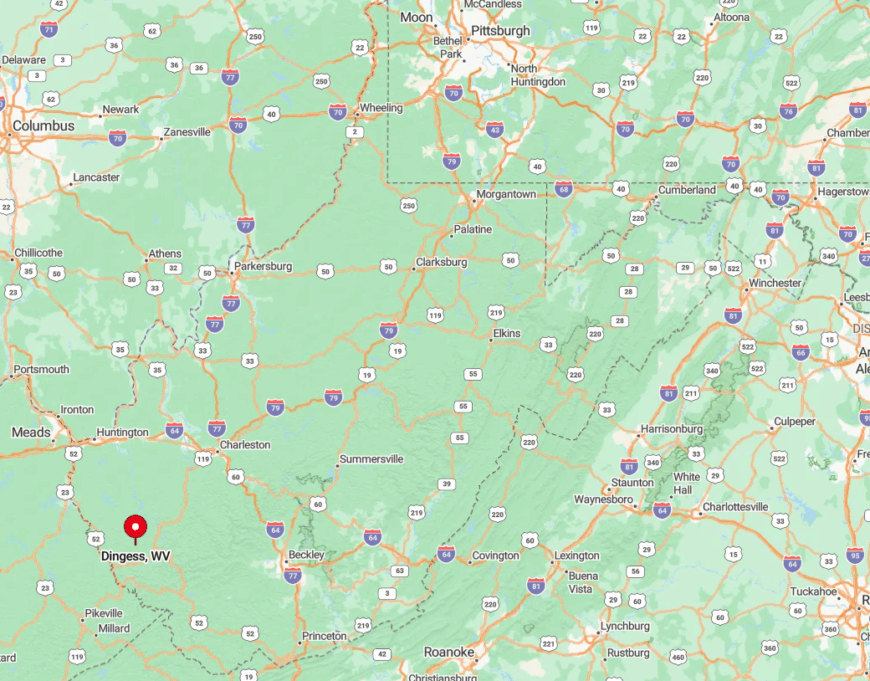
9. Dingess
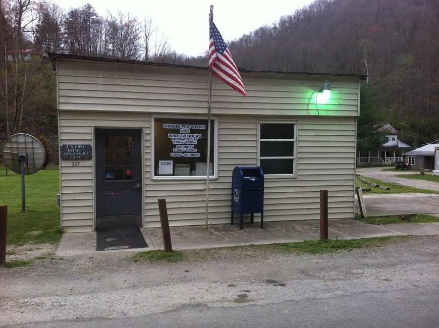
Fewer than 400 people call the steep hollows around Dingess home. The star attraction is the 1892 Dingess Tunnel, a single-lane, still-active rail passage where drivers wait their turn to share the darkness with freight trains.
Locals fish Tug Fork headwaters, hunt wild turkey on reclaimed mine land, and gather in summer for bluegrass pick-ups outside the volunteer fire station. Coal trucking and small logging crews remain the chief industries, though many residents commute to Williamson for work.
Sheer hillsides covered in oak and poplar hide most houses from the road, lending a sense of surprise to every bend. With only one paved route in or out and no commercial strip, Dingess keeps its distance from the modern rush.
Where is Dingess?
🔥 Would you like to save this?
The settlement sits in northern Mingo County, about 15 miles northeast of the county seat of Williamson. Ringed by 1,000-foot ridges and patched pockets of second-growth forest, the valley traps morning fog and, with it, an uncanny quiet.
Access comes via the curvy, mostly shoulder-less County Route 3, or the more adventurous drive straight through the rail tunnel itself. Either way, travelers soon discover why maps show few neighboring dots—there simply aren’t any.
8. Coalwood
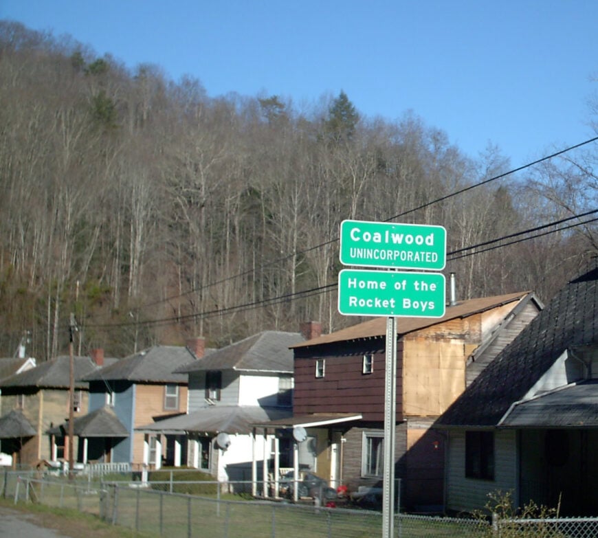
Coalwood hosts roughly 300 residents in the same clapboard homes once occupied by miners who inspired Homer Hickam’s memoir “Rocket Boys.”
Visitors tour the abandoned Olga Coal tipple, photograph the original Cape Coalwood rocket launch pad replica, and hike the adjacent Welch Spur Trail for sweeping hillside views.
While commercial coal extraction ended in 1986, small reclamation crews and heritage tourism supply modest employment. The town sits more than 15 miles from the nearest four-lane highway, leaving radio silence and dark skies ideal for backyard stargazing.
Empty company storefronts and wide lawns separate neighbors, muting any hint of bustle. These factors wrap Coalwood in a nostalgia-soaked seclusion that seems suspended in Appalachian amber.
Where is Coalwood?
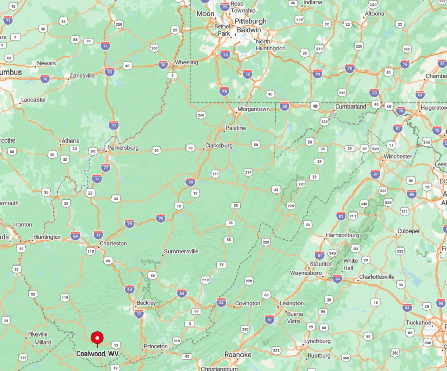
Coalwood lies in central McDowell County, south of Welch and north of War, at the terminus of State Route 16/61 spurs. Deep hollows and ridgelines over 2,400 feet high act as a natural sound barrier, sealing the community in a quiet pocket.
Drivers reach town by following Route 16 from Beckley, then weaving along Elkhorn Creek on a two-lane ribbon that discourages hurried travel. The absence of cell towers between Welch and Coalwood makes the final fifteen minutes feel like stepping into another era.
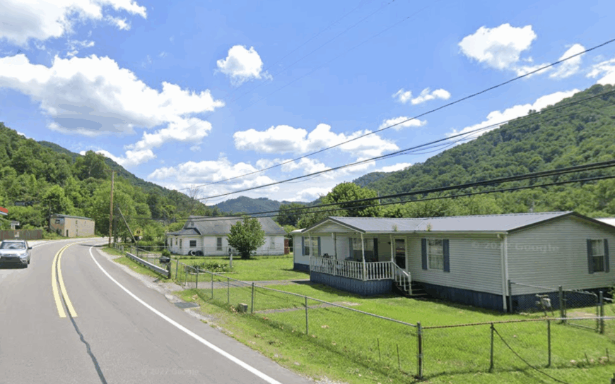
7. Panther
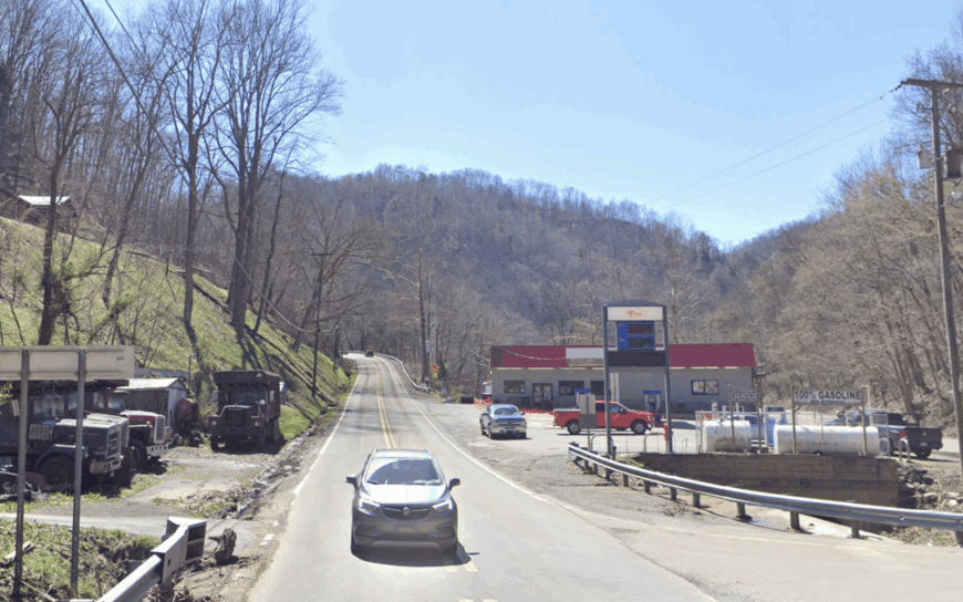
Panther claims a population of about 275 people spread along its namesake creek in southern McDowell County. Anglers prize Panther Creek for stocked trout, and ATV riders access the lesser-known Outlaw trail system branching from backyard gates.
Seasonal work comes from the Panther Wildlife Management Area and small outfitters renting rustic fishing cabins. The lack of commercial mining since the 1990s has left surrounding slopes to regenerate, covering the valley in thick rhododendron and young hardwoods.
Single-lane gravel roads hug the creek for miles, with mailboxes appearing in ones and twos between knobby hillsides. The resulting hush and limited through-traffic make Panther a retreat where nightly entertainment is the creek’s steady riffle.
Where is Panther?
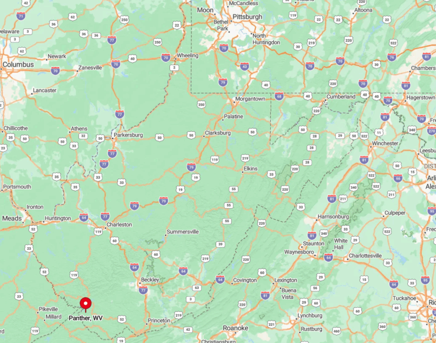
Situated close to the Kentucky border, Panther sits 12 miles off US-52, linked only by twisting County Route 3. Tall peaks exceeding 2,000 feet form a bowl around the creek, preventing radio signals and winter sunlight from lingering too long.
Travelers usually exit the highway at Iaeger and follow signs that alternate between pavement and gravel, fording a shallow spillway en route. Those willing to make the slow climb are rewarded with an Appalachian hideaway that rarely sees strangers.
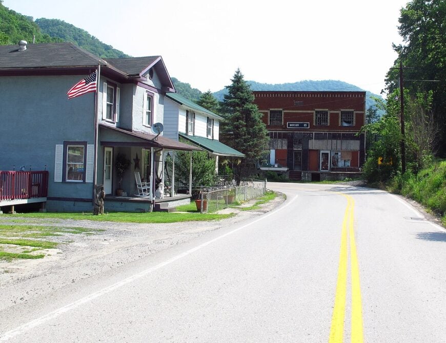
6. Uneeda
Uneeda’s population hovers near 350 residents dotted along a sweeping bend of the Coal River in Boone County. Kayakers drift under century-old railroad trestles, anglers chase smallmouth bass, and history buffs explore the crumbling tipple of the Madison Coal & Coke Company.
Today, employment stems from river-sand extraction, a small convenience store, and commuting to nearby Madison for healthcare and education jobs. Nearly half the ridgelines within view remain undeveloped, creating a green wall that screens the community from State Route 119’s sporadic traffic.
River fog rolls in most mornings, muffling sound and giving Uneeda its trademark quiet start to the day. Sparse housing density and limited cellular coverage seal its sense of detachment despite being only 30 miles from Charleston.
Where is Uneeda?
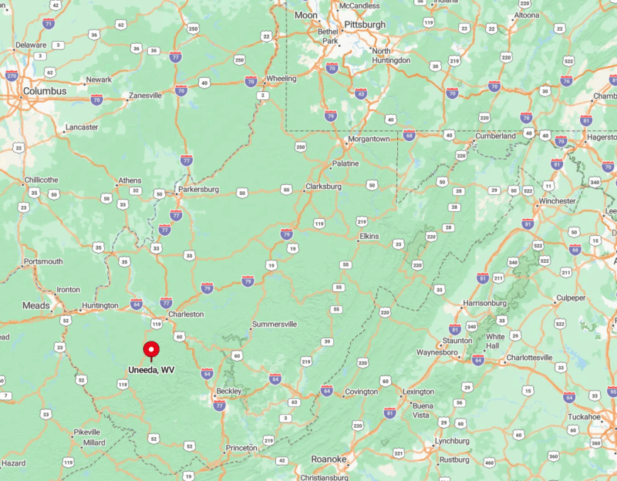
Uneeda rests in northern Boone County off Route 85, wedged between the Coal River and Backbone Ridge. Steep slopes on three sides force the road to dead-end shortly past town, eliminating through-traffic entirely.
Visitors typically exit Corridor G at Danville, then drift north along the river on a two-lane that narrows until pavement meets gravel. The final mile, hemmed by kudzu-covered banks and the river’s slow bend, feels like crossing an invisible threshold into stillness.
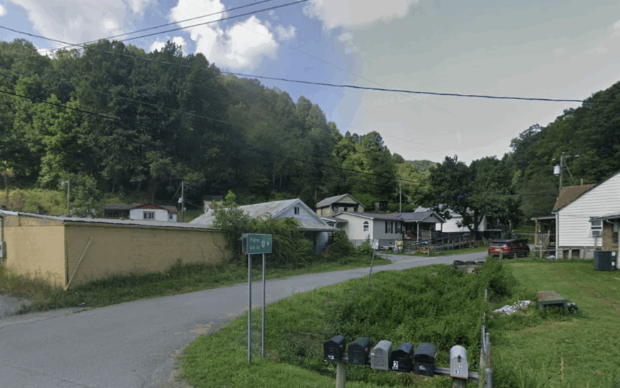
5. Omar
Home to roughly 500 people, Omar stretches along Buffalo Creek in quiet Logan County. Residents spend weekends fishing for rock bass, visiting the Buffalo Creek Museum, or hiking the rail-to-trail path that follows the reclaimed mine spur.
Remaining jobs revolve around a small surface mine to the south, the elementary school, and family-run auto shops. Towering slopes rise directly behind the modest row of former company houses, limiting sun exposure and sound penetration.
Wide, grassy yards separate homes more than traffic does, as the main road ends a few miles upstream. The absence of any stoplights or chain businesses cements Omar’s place as a low-profile hollow carved from coal country history.
Where is Omar?
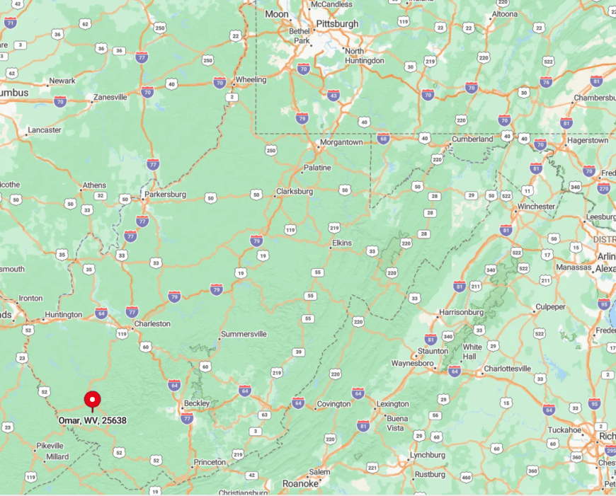
Omar lies eight miles east of Logan along County Route 44, deep within the Buffalo Creek watershed. Encircling ridges reach 1,500 feet, breaking radio service and deterring drivers looking for shortcuts.
Most visitors leave WV-10 at Sharples, then wind past the site of the 1972 flood disaster memorial before easing into Omar. As pavement narrows and the creek pulls closer to the road, any sense of outside urgency fades with every curve.
4. Herndon
Herndon, with a population near 220, perches on a narrow shelf above the Guyandotte River’s headwaters in Wyoming County. Scenic overlooks off County Route 12 reveal tightly folded hills that ATV riders tackle on the Pinnacle Creek Trail, a lesser-used branch of the Hatfield-McCoy network.
Employment consists mainly of school positions in nearby Mullens, small-scale farming, and seasonal tourism tied to the trail system. Switchback roads ascend 1,400 feet from the river valley, discouraging large trucks and keeping traffic counts in the double digits.
A lone white church steeple, visible for miles, serves as both landmark and community heartbeat. Distance from any four-lane route reinforces Herndon’s mountainside calm, making porch-sitting a primary pastime.
Where is Herndon?
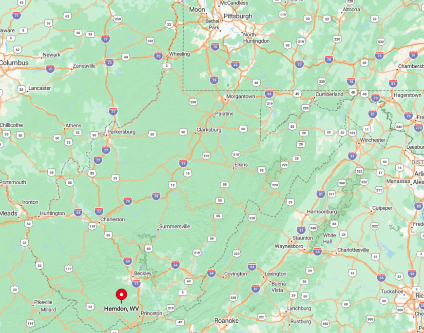
Herndon is set roughly 19 miles northwest of Princeton, accessible only through a maze of county roads that snake across ridges. The surrounding terrain forms a natural amphitheater that traps sound from outside but lets whip-poor-will calls travel far.
Drivers leave the WV Turnpike at Ghent, descend into the valley, then climb a series of hairpin turns before the town’s first mailbox appears. Those switchbacks both physically and mentally prepare guests for a community content to watch clouds instead of clocks.
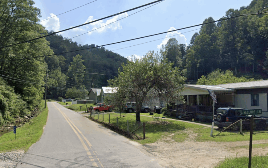
3. Wharncliffe
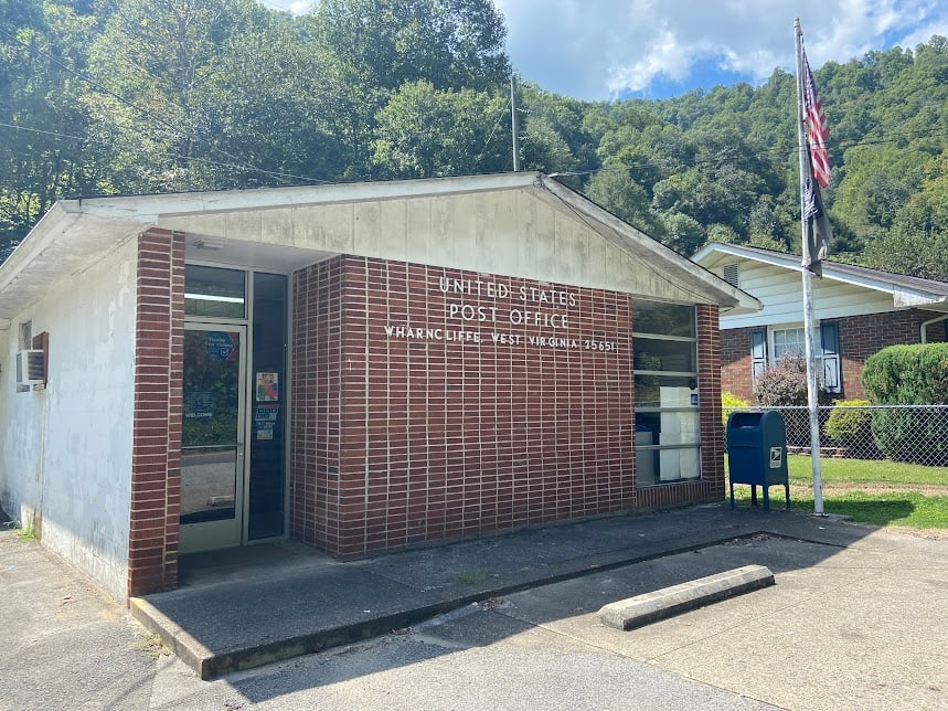
Only about 150 residents inhabit Wharncliffe, an old rail junction along the Tug Fork River in Mingo County. Rail buffs photograph the rusted trestle bridge, while paddlers enjoy a seldom-crowded run of the river favored for its Class I riffles.
Work today centers on CSX maintenance crews, a small sawmill, and seasonal outfitters guiding hunters into the adjacent Mingo Wildlife Management Area. Unbroken forest blankets the valley walls, and the constant echo of passing trains replaces any hint of highway hum.
With one church, no restaurants, and mail delivered three days a week, daily life moves to its own, slower timetable. The isolation is heightened by the fact that GPS often loses signal among the ridges before reaching town.
Where is Wharncliffe?
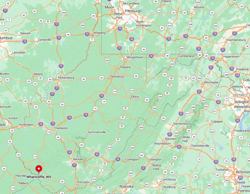
Wharncliffe sits in southern Mingo County near the Kentucky border, about 12 miles southwest of Gilbert. The community is reached primarily by U.S. Route 52, with local county roads branching into the hollows.
The drive is slow and curving, crossing rail lines and hugging the Tug Fork’s bends. By the time pavement narrows at the settlement, Wharncliffe feels enclosed by ridges and rail corridors, a place set apart at the edge of the mountains.
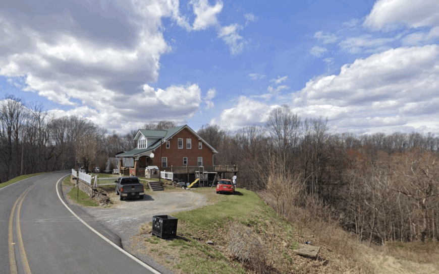
2. Alkol
Alkol spreads across rolling pastures in eastern Lincoln County, supporting roughly 300 residents on acre-sized lots. Horseback riders explore old wagon tracks, gardeners exchange heirloom seeds at the community center, and photographers chase sunrise over hay fields dotted with round bales.
The local economy revolves around cattle farming, hay production, and a single repair garage that doubles as a gathering spot. With no public water system and limited broadband, daily rhythms rely more on well pumps and porch talk than on screens.
The two-lane Route 3 dead-ends not far past town, eliminating commuter traffic and preserving nighttime silence broken only by whip-poor-wills. Broad sightlines across open pasture grant privacy without fences, adding to Alkol’s appeal for those who favor elbow room.
Where is Alkol?
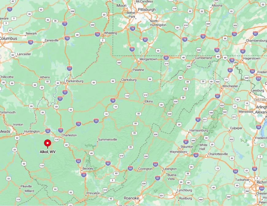
Alkol is located in eastern Lincoln County, about 25 miles southeast of Huntington near the Boone County line. The community sits along West Virginia Route 3, which continues east through rolling farmland and low ridges.
Travelers typically exit I-64 at Culloden or Milton, then follow a sequence of two-lane routes through open pastureland and wooded hills. When cell service drops and farm fields replace subdivisions, visitors know they’ve reached Alkol’s quiet stretch of countryside.
1. Paynesville
Paynesville, perched more than 2,000 feet above sea level on a McDowell County ridge, counts just under 200 residents. Clear mountain air draws amateur astronomers, and daylight reveals loop after loop of dirt roads ideal for horseback rides to hidden waterfalls.
Timber harvesting and small ginseng operations supply income, while weekly craft markets at the community hall showcase intricate woodcarving. Being atop a ridge means no through-road; drivers ascend and descend the same switchbacks, which keeps accidental visitors practically nonexistent.
Houses often sit on multi-acre parcels, separated by walls of maple and oak that glow every October. The high-elevation vantage grants endless horizon views yet shields residents from the noise and glare that accompany more accessible towns.
Where is Paynesville?
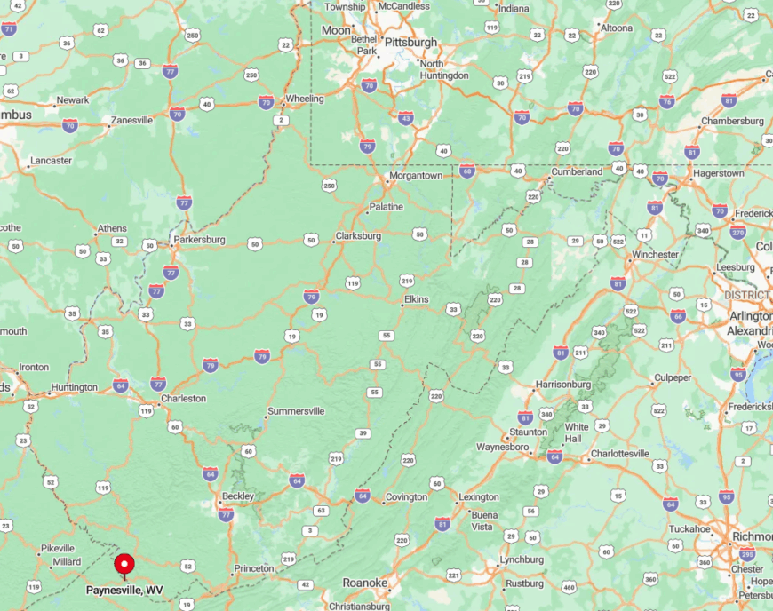
Paynesville lies in far southern McDowell County, a stone’s throw from both Virginia and Kentucky. Its lofty perch is hemmed in by dense forest and steep grades, making standard GPS directions unreliable at best.
The usual approach is via US-460 to Grundy, Virginia, then west on VA/WV Route 83 up a series of hairpin turns that demand low gear and patience. Once atop the ridge, visitors find themselves closer to circling hawks than to city streetlights, a fitting finale to any search for seclusion.