🔥 Would you like to save this?
Southeast Kansas holds pockets of quiet that many lifelong Kansans have never seen. Rolling tallgrass, timbered creek bottoms, and prairie crossroads hide communities where porch lights outnumber streetlights and neighbors can still hear coyotes after dark.
Our roundup highlights 25 of these retreats, each with its own mix of scenery, history, and elbow room. Expect details on populations that barely fill a café, hikes that begin at the edge of town, and backroads that feel miles from the modern rush.
In order to come up with the very specific design ideas, we create most designs with the assistance of state-of-the-art AI interior design software.
For travelers who favor dirt roads over interstates or for relocators hunting wide skies and small crowds, the region offers more options than one might guess. Here are 25 of the most secluded towns in Southeast Kansas, counted down from ten to one.
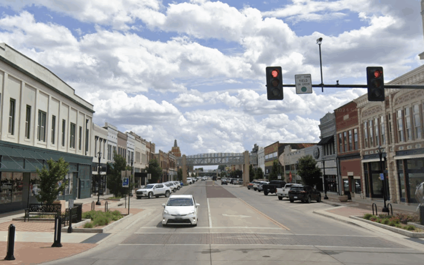
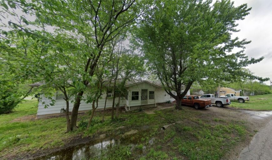
25. Elgin – River Bluff Outpost with a Frontier Past
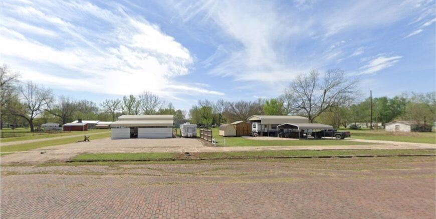
Once a bustling cow town on the Kansas–Oklahoma border, Elgin now holds fewer than 100 residents spread across a blufftop that overlooks the Caney River.
Weathered storefronts along Main Street speak to its wild frontier days, while cottonwood-lined lanes whisper of how quiet life has become. Today, ranching and a few home-based trades sustain the community. Hunters and anglers favor the area for whitetail deer, wild turkey, and fishing holes tucked in the river’s oxbows.
No chain stores, no traffic lights, and no through highway mean the hum of cicadas is often the loudest sound in town. It’s the kind of place that seems to exhale after every sunset.
Where is Elgin?
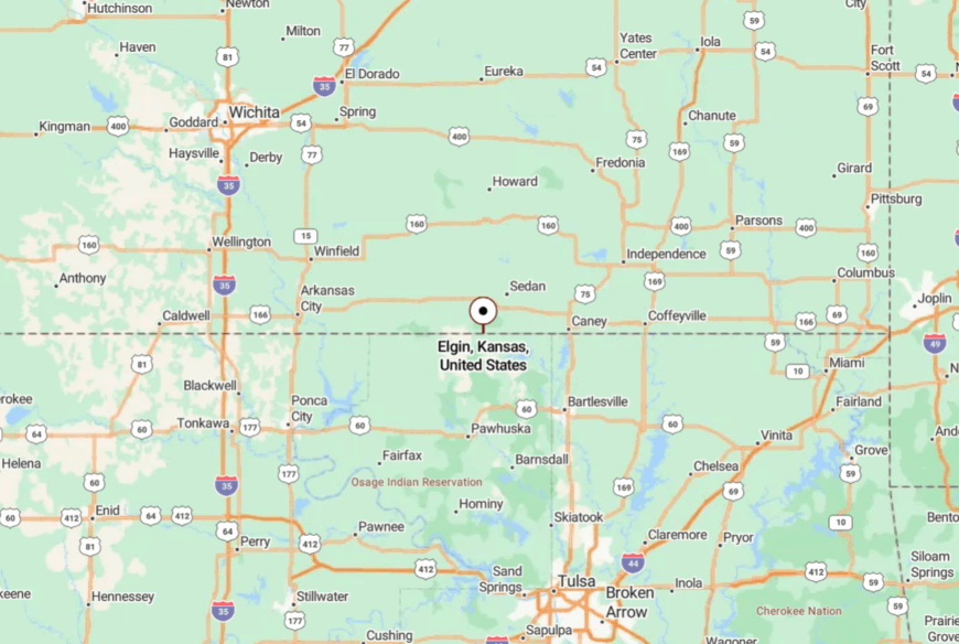
Elgin sits in southern Chautauqua County, a mile north of the Oklahoma line and eight miles southeast of Sedan. The town is reached via K-38, which dead-ends at the river before slipping into Oklahoma.
Surrounding hills and the meandering river block sightlines, making it feel removed from the rest of the county. The approach road crests a rise, and then the whole settlement appears at once, framed by endless sky.
24. Lafontaine – Prairie Crossroads Hidden by Shelterbelts
Lafontaine’s 150 or so residents live among deep shelterbelt rows that break the relentless Kansas wind and hide farmsteads from the road. Grain elevators and a scattering of outbuildings mark the community’s edge, with a single café and post office as social anchors.
Most livelihoods are tied to row-crop farming, hay cutting, or livestock work. The wide-open spaces invite stargazing, and in autumn, migrating geese fill the horizon. Traffic is so scarce that children ride bikes down the center line without worry.
It’s a place where neighbors wave, whether they know you or not, just in case you might stay awhile.
Where is Lafontaine?
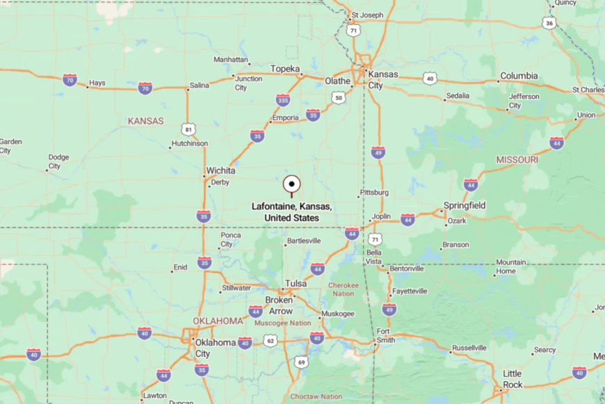
The village lies in northern Montgomery County, about 12 miles west of Independence. You reach it via County Road 5600, a blacktop road that shrinks to chip-seal as it nears town.
The absence of highway signage makes it easy to pass by unless you’re looking for it. When you do arrive, the sudden quiet feels like a door closing on the outside world.
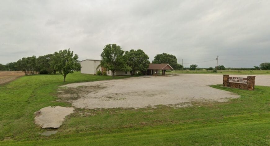
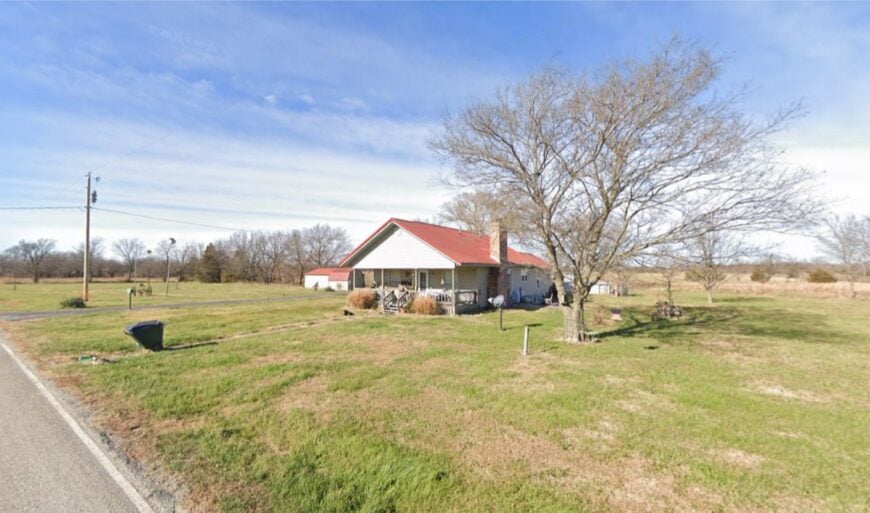
23. Buxton – Timber-Framed Hamlet on the Verdigris
Buxton hides fewer than 50 residents behind a wall of sycamores and elms along the Verdigris River. Many houses sit on stilts or raised foundations, a nod to spring floods that sometimes push into yards.
Locals fish for flathead catfish from rickety docks and trade vegetables at informal roadside stands. Employment comes from nearby sawmills, seasonal farming, and river-related work.
With no retail or gas station, visitors plan trips around fishing or family visits. The quiet here is as steady as the river’s flow, broken only by wind in the trees and the splash of a hooked fish.
Where is Buxton?
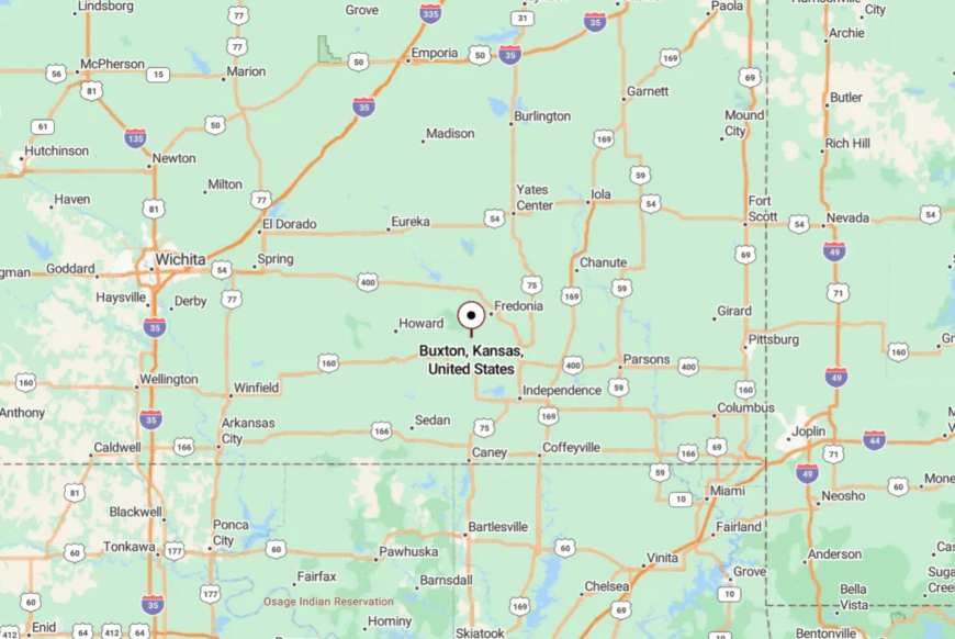
Buxton is tucked into western Neosho County, about 15 miles north of Coffeyville. The only approach is a narrow county road that follows the Verdigris for several miles before dipping into the timber.
No bridges cross for miles in either direction, so the river feels like both a neighbor and a boundary. The last half-mile under the canopy is as shaded and hushed as a chapel.
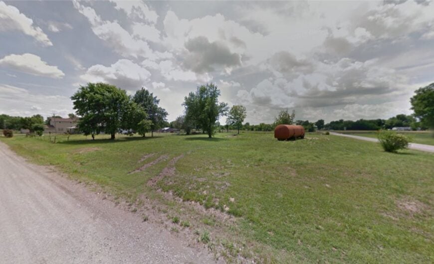
22. Angola – Sleepy Junction in the Tallgrass
Angola once sat at the intersection of two rail lines, but now just 80 or so residents remain, spread across broad lots where prairie grasses still sway. The depot is gone, yet the memory lingers in the straight, empty stretch of Main Street.
A volunteer fire station, grain bins, and a scattering of homes make up the “business district.” People here pass time with evening walks, backyard gardening, and hunting in the nearby Neosho River bottoms. Every night the wind seems to arrive before the stars, carrying the scent of hayfields miles away.
Where is Angola?
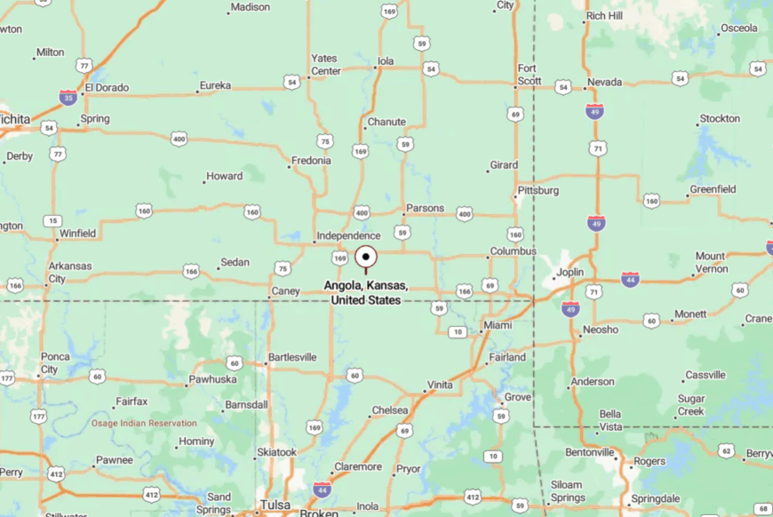
Located in southern Labette County, Angola is about 15 miles east of Coffeyville. The village sits just off US-166, reached by a short spur that quickly loses its stripes.
With no direct rail or bus service, it remains out of the way for casual travelers. The flat horizon here makes the sunsets feel bigger than the town itself.
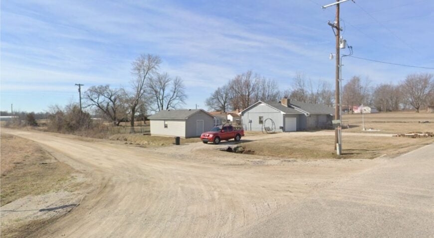
21. Sherwin – Prairie Hamlet with a Railroad Ghost
Sherwin’s handful of residents live where the prairie meets a low wooded ridge, a place once marked by a busy rail siding. Today, the old rail bed runs silent, overgrown with bluestem and wild sunflowers, and the only trains you’ll hear are miles away.
Neighbors tend cattle, cut hay, and gather at a modest white church for Sunday service. The absence of stores, gas stations, or even a post office means every errand starts with a drive into the next county.
On summer evenings, the soundscape is nothing but meadowlarks and wind through the fence lines. It’s the sort of quiet that makes you realize how loud most places have become.
Where is Sherwin?
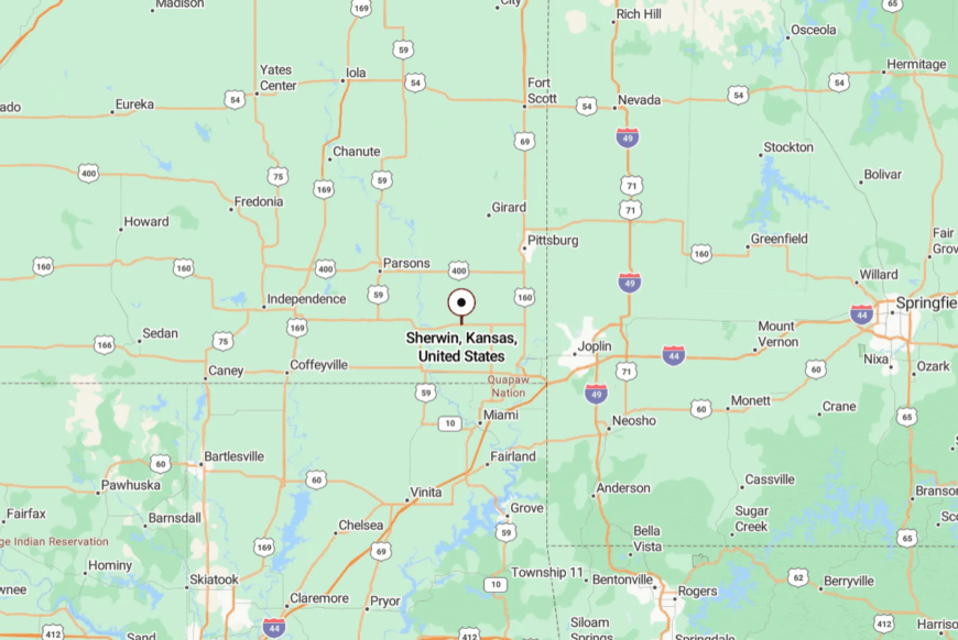
Sherwin lies in southern Cherokee County, about seven miles east of Baxter Springs. It’s reached by a grid of gravel section roads that thread between pastures and hedgerows.
No signage marks the approach, and GPS can be patchy under the tree canopy. By the time you roll into view of the church steeple, the rest of the world already feels far behind you.
20. Lawton – Hidden Bend on the Fall River
Lawton’s 60 residents occupy a quiet bend in the Fall River where cottonwoods line the water’s edge. Anglers cast for crappie and channel catfish in the shadow of an old steel bridge, and hunters disappear into the nearby oak woods each fall.
Work is seasonal and tied to ranching, hay cutting, and guiding for fishing trips. With no store and no gas, people plan weekly runs to Fredonia or Fall River.
The slow curve of the river and the steep bluffs beyond it seem to hold the town in place, safe from the outside rush.
Where is Lawton?
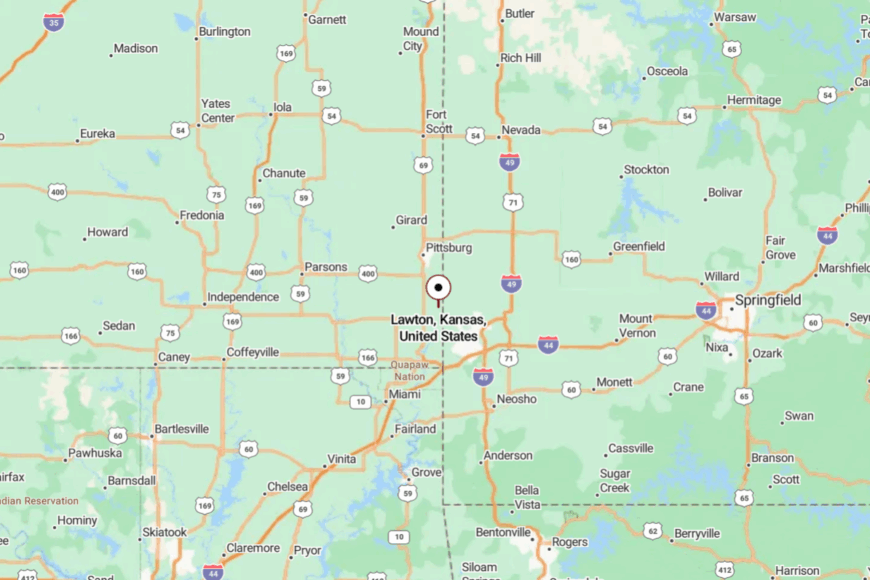
The hamlet lies in northeastern Wilson County, six miles southeast of Fall River State Park. Access is via a winding county road that crosses the river just once before ending in town.
The bridge limits large vehicle traffic, helping keep the pace slow. Arriving feels like stepping into a pocket of time sealed off by water and hills.
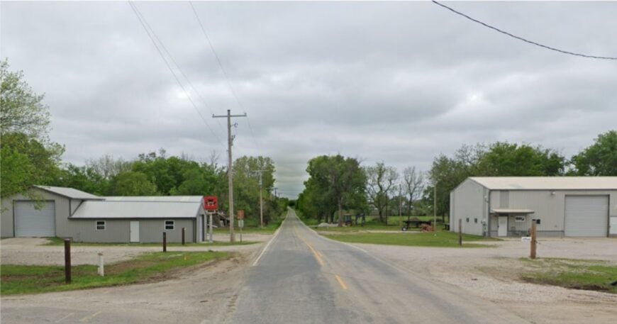
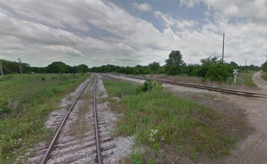
19. Dennis – Riverside Hollow with a Railroad Past
🔥 Would you like to save this?
Dennis is home to about 80 people, most living within a short walk of the Verdigris River. Once a stop on the Missouri–Kansas–Texas Railroad, it now boasts only a post office and a small church.
Locals fish from the sandy banks, tend gardens in deep alluvial soil, and ride ATVs along the old rail bed. Farming and commuting to nearby Parsons keep the bills paid, but leisure still revolves around the river.
It’s a place where sunrise comes with mist over the water and the sound of woodpeckers in the cottonwoods.
Where is Dennis?
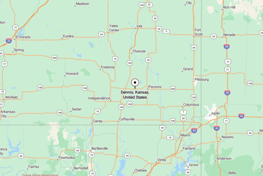
Dennis sits in southeastern Labette County, about 12 miles south of Parsons. The route in follows a narrow paved road that crosses farmland before dropping into the river valley.
There are no alternate approaches without several miles of gravel. That gentle isolation keeps Dennis calm even when the county around it is busy.
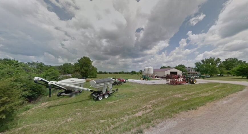
18. Elk Falls – Waterfall Village with Victorian Charm
Elk Falls bills itself as the “World’s Largest Living Ghost Town,” with under 150 residents and a main street lined with vintage storefronts. Visitors come to see the namesake waterfall on the Elk River, wander antique shops, and attend the annual Outhouse Tour in November.
Most locals farm or run small businesses catering to weekend travelers. The falls themselves drown out any distant noise, and the surrounding bluffs shield the village from passing traffic. At night, the old iron bridge glows softly under moonlight, as if holding the past in place.
Where is Elk Falls?
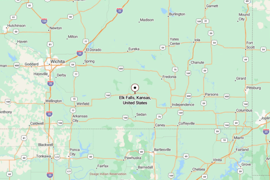
Elk Falls is in Elk County, about 11 miles west of Howard. K-160 leads directly to town, but the approach is flanked by timber that hides it until you’re almost there.
The nearest interstate is more than an hour away, keeping through-traffic minimal. Once inside, the river’s voice takes over and the outside world fades.
17. Beulah – Coal Camp Turned Quiet Crossroads
Beulah’s origins lie in the coal boom of the late 1800s, but today only a few dozen houses remain where miners once filled boarding halls and saloons. Tall cottonwoods shade the streets, and the only steady hum comes from cicadas in summer or woodstoves in winter.
Locals tend generous gardens, fish the reclaimed strip-mine ponds nearby, and gather at the volunteer fire hall for monthly suppers. There are no businesses left within town limits, and the nearest grocery run means a drive into Pittsburg or Girard.
Abandoned rail beds now serve as footpaths through prairie grass and sumac. Night skies are so dark that meteor showers seem to spill right into backyards. It’s a place where history lingers quietly in the landscape.
Where is Beulah?
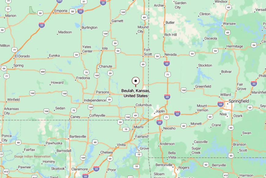
Beulah sits in central Crawford County, about 12 miles west of Pittsburg and just south of K-47. Drivers approach via county blacktops that narrow to chip-seal before reaching Main Street.
The lack of highway frontage keeps traffic to a minimum. Arrivals often find the town emerging suddenly from a curtain of trees, its calm intact.
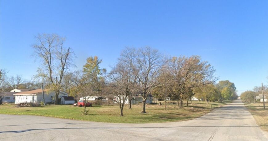
16. Mantey – Road’s End on the Prairie Edge
Mantey’s handful of homes rests on the edge of rolling pastureland where the prairie gives way to clusters of blackjack oak. Once a small trading point, it’s now a place where mailboxes stand farther apart than the houses themselves.
Residents tend cattle, repair fence lines, and hunt whitetail deer in the nearby draws. Social life centers on backyard barbecues and Sunday visits, with the occasional potluck at the old community hall.
The only sounds at night are coyotes yipping across the flats and the creak of a windmill turning. Its isolation means there’s never a reason to rush—time slows naturally here. For those who crave space, it offers miles of it in every direction.
Where is Mantey?
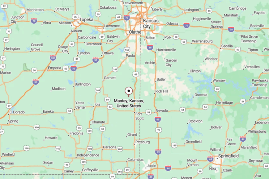
Located in northern Bourbon County, Mantey is about 10 miles southwest of Fort Scott. The last few miles are reached via gravel lanes that dead-end just past town.
No numbered highway passes through, and most visitors are locals who already know the way. It’s a settlement that’s close enough to town for necessities, but far enough to feel far removed.
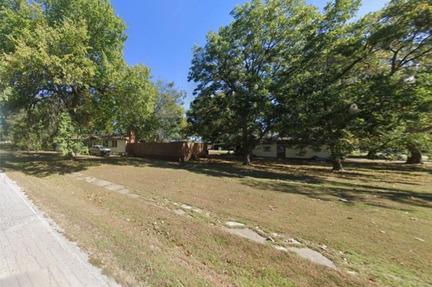
15. Piqua – Prairie Crossroads with a Claim to History
Piqua may be small, but it holds a unique place in Kansas history as the birthplace of actor Buster Keaton. Fewer than 100 residents live among tidy homes and wide lawns, surrounded by miles of fertile cropland.
The pace is unhurried—neighbors catch up at the post office or during Saturday pancake breakfasts at the volunteer fire station. Wheat, corn, and soybeans dominate the local economy, with harvest season bringing a burst of quiet activity.
Visitors often stop at the Buster Keaton Museum inside the community center, then explore the grid of streets where traffic is nearly nonexistent. At night, stars fill the sky from horizon to horizon with no glow from nearby cities. It’s a community where history whispers and the present moves gently forward.
Where is Piqua?
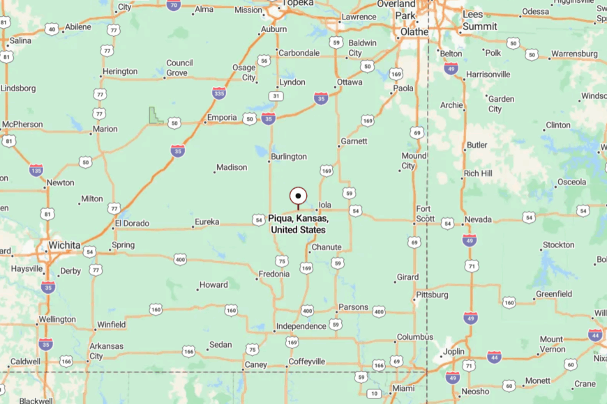
Piqua sits in western Woodson County, along US-54 about seven miles west of Iola. Despite being on a highway, the town’s small size and lack of a commercial strip keep it calm.
Travelers usually slow only for the reduced speed zone, but those who turn off find a quiet grid of streets framed by open farmland. Surrounded by fields on all sides, it feels far more removed than its location suggests.
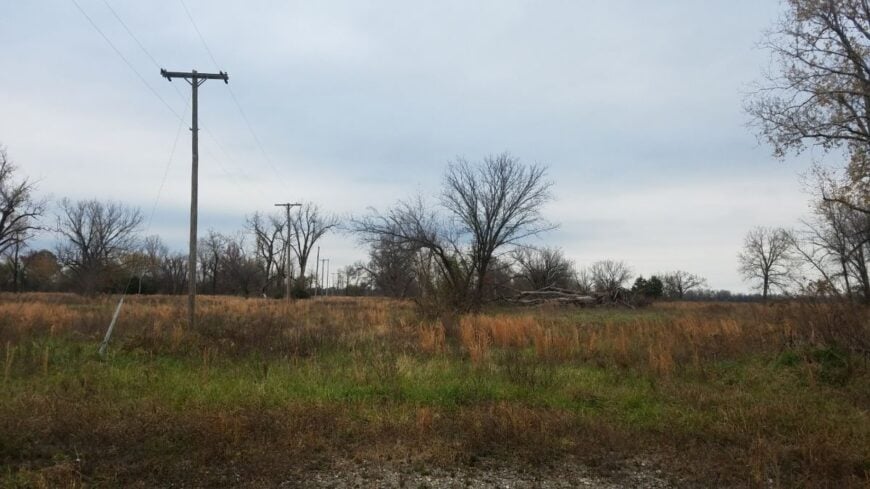
14. West Mineral – Mining Heritage in the Prairie Quiet
West Mineral, with a population of around 200, sits quietly in the prairie but boasts one colossal attraction—Big Brutus, the world’s second-largest electric mining shovel, now a museum piece towering over the fields. Once a bustling coal-mining hub, the town has settled into a slower rhythm since the mines closed decades ago.
Residents tend vegetable gardens, fish at reclaimed strip-pit lakes, and gather for Friday fish fries at the volunteer fire hall. The economic heartbeat is modest—some tourism from Big Brutus, a handful of small trades, and commuting to nearby Pittsburg or Columbus.
With few businesses in town, nights are as still as the surrounding farmland, broken only by the sound of a passing train on the distant main line. Visitors are often struck by the sense of open space and the way prairie sunsets seem to last longer here. It’s a place where the land’s history is written in both steel and soil.
Where is West Mineral?
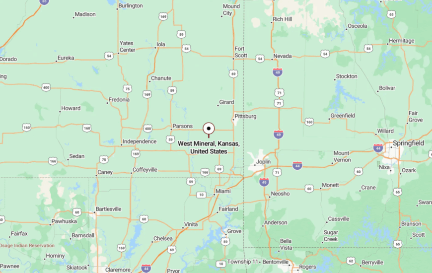
West Mineral lies in Cherokee County, about 18 miles southwest of Pittsburg and just north of US-400. The approach is along two-lane highways flanked by open farmland, with no large developments nearby.
Big Brutus, standing just outside town, is the only landmark visible from a distance. Once you turn off the highway, you’re greeted by quiet streets and the expansive prairie beyond.
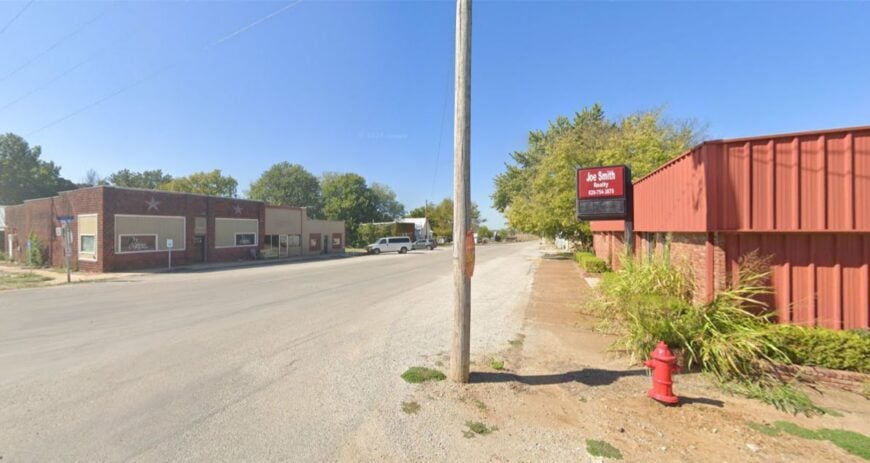
13. Treece – Prairie Ghost Town on the State Line
🔥 Would you like to save this?
Treece, once a busy lead and zinc mining settlement, now holds only a handful of residents scattered among empty blocks and prairie grass reclaiming the streets. The federal buyout after decades of mining contamination left behind a ghostly grid of paved lanes, old foundations, and cottonwoods swaying in the breeze.
Hunters and photographers are drawn to the area for its open views, abandoned structures, and the eerie quiet that falls once the wind dies down. The local economy is almost nonexistent—most activity comes from ranching on surrounding land or work across the border in Oklahoma.
Visitors who wander here might spot deer grazing in lots where houses once stood or hawks circling over the old mine tailings. With so much space and so few people, it’s a place that feels like it belongs more to the past than the present. Treece holds a rare beauty in its stillness, the kind that invites reflection.
Where is Treece?
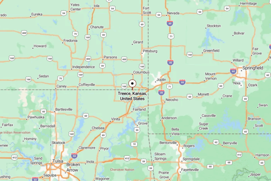
Treece sits at Kansas’s extreme southeast corner, pressed right against the Oklahoma border and just west of Missouri’s edge. It’s reached via US-69, turning onto a short spur road that abruptly ends at the ghost town’s grid.
The nearest sizable city is Joplin, Missouri, about 25 miles northeast, though the drive there feels much longer due to the flat, empty miles in between. The isolation is immediate—step out of your car, and you’ll hear only the wind in the grass.
12. Stark – One-Block Village on the Prairie Edge
Stark’s roughly 70 residents share a main street that could be walked end-to-end in under two minutes, with grain silos at one end and open prairie at the other. It’s the kind of place where the post office doubles as a news hub, and the volunteer fire station sees more pancake breakfasts than emergencies.
Farming and seasonal harvest work form the backbone of the local economy, and much of daily life revolves around tending fields, checking cattle, and keeping gardens. A small park with shade trees and a swing set draws families on summer evenings, while birdwatchers enjoy spotting meadowlarks and hawks from the quiet county roads.
With no gas station, no store, and no through traffic, Stark is as slow-paced as a town can get. Its seclusion is part of its charm, and locals seem happy to keep it that way. It’s the kind of place where you can still hear your own footsteps on the sidewalk.
Where is Stark?
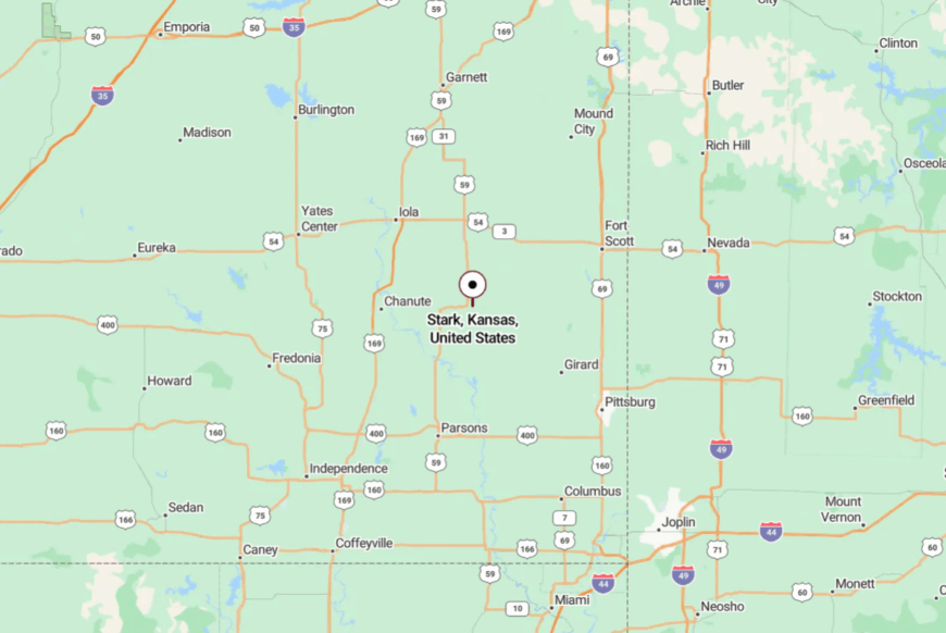
Stark sits in Neosho County, about 16 miles northeast of Erie and just west of the Bourbon County line. The village is reached by leaving US-59 at the tiny crossroads of 90th Road and heading east on a narrow, low-traffic blacktop.
Surrounded by farmland in every direction, the town feels hours away from big-city bustle despite being less than a half-hour from a highway. Arriving here feels like stepping into a quieter era of Kansas life.
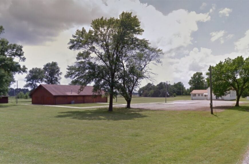
11. Monmouth – Old Mining Village in Prairie Quiet
Monmouth, once a bustling coal camp, now counts only a few dozen residents. Tree-lined lanes and open yards give it a relaxed, spread-out feel. A tiny community center serves as the hub for events like holiday potlucks and quilt shows.
Many residents keep kitchen gardens or raise chickens, adding to the self-sufficient atmosphere. Old mine tailings have been reclaimed by grasses, and in spring the air smells faintly of redbud blossoms.
Without stores, gas stations, or through-roads, the village feels wholly apart from modern traffic. For those who stop, the quiet feels almost tangible.
Where is Monmouth?
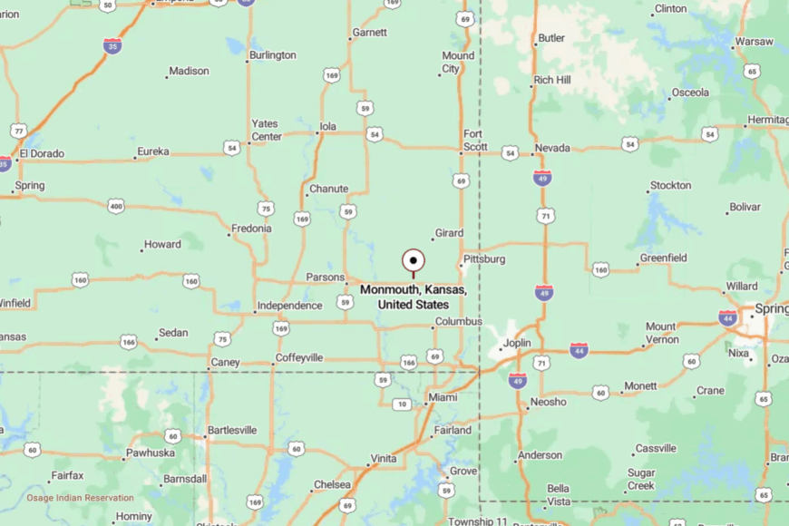
Monmouth lies in Crawford County, about 6 miles north of McCune and just west of US-69 Alternate. The last stretch is reached via a short county road that dead-ends in the village.
With no signage on the main highway, it’s easy to pass by without knowing it’s there. That anonymity is part of what preserves its deep calm.
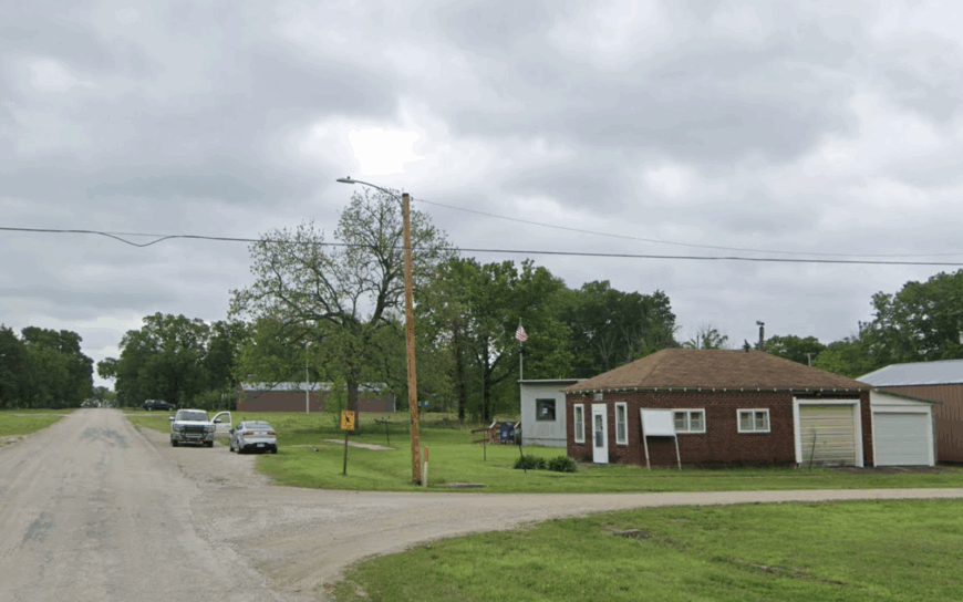
10. Chautauqua – Off-the-Grid Retreat in the Osage Hills
Roughly 100 residents call Chautauqua home, and most of them live on acre-plus parcels tucked among blackjack oak ridges. Weekend visitors usually fish or paddle at nearby Chautauqua County State Fishing Lake, scout turkey in the spring woods, or stargaze from the public boat ramp.
Cattle ranching, small-scale hay production, and a single combination café-general store provide what little commerce the town sees. A lack of industry is part of the appeal, keeping traffic light and night skies pitch black.
Deep draws and wooded hills dampen highway noise, while a fifteen-mile buffer from the larger town of Sedan helps preserve the hush. Even cell service fades in spots, reminding guests just how far off the beaten path they have wandered.
Where is Chautauqua?
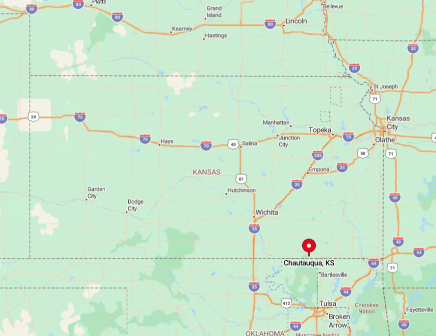
The hamlet sits in southwestern Chautauqua County, two gravel miles south of State Highway 166 and half a dozen winding miles west of the Oklahoma line. Hills on every side and only one paved approach road contribute to its tucked-away feel.
Travelers usually reach it from Sedan by taking K-99 south, then following county roads that narrow to gravel well before town limits. With no bus route and no nearby airport, the surest way in is a personal vehicle and a reliable paper map.
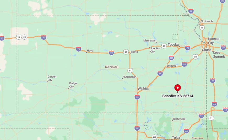
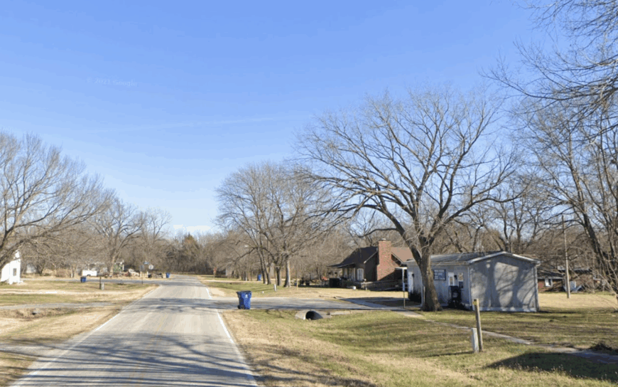
9. Benedict – Prairie Hamlet Along the Verdigris River
Benedict claims fewer than 75 year-round residents, most concentrated on roomy river-valley lots shaded by cottonwoods. Anglers slip jon boats into the Verdigris River just east of town, while birders scan the sandbars for herons and the prairies for prairie-chickens.
Local income comes largely from cow-calf operations and seasonal row crops, with a co-op grain elevator supplying the lone set of silos on the skyline. A vacant brick bank and silent rail spur hint at busier decades long past.
Today, half the surrounding land is open pasture or cropland, leaving sightlines that stretch for miles and a steady breeze that carries only meadowlark calls. The absence of through traffic makes Main Street so quiet that residents often park in the middle to chat.
Where is Benedict?
🔥 Would you like to save this?
The village rests in Wilson County, midway between Fredonia and Neodesha yet far enough from both to avoid spillover growth. It hides on a spur road south of US-400, so those who arrive usually intend to.
Verdigris River oxbows and unbroken pasture hem in the settlement, leaving only one paved route that dead-ends at the boat ramp. Visitors typically exit the highway at Morehead Road, then follow seven miles of chip-seal that turn to gravel just before town.
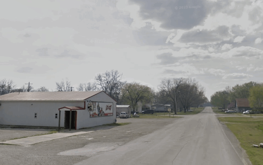
8. Havana – Oak-Shaded Hideaway on the Edge of the Flint Hills
Havana’s population hovers around 80, and most homes date to the early 1900s with deep porches and tin roofs. Locals spend weekends hunting mushrooms in the belts of post oak that circle town, or visiting the Havana Stagecoach Stop Museum, a restored 1870s inn many Kansans have never heard of.
Cattle grazing and custom hay cutting keep the few businesses busy when school is out. Gravel lanes, thick shelterbelts, and a low creek crossing at the south approach deter casual visitors and mask the town from passing traffic on US-75.
Even the whistle of the South Kansas & Oklahoma Railroad fades behind the timber. After sunset, only porch lights and the flicker of fireflies interrupt the darkness.
Where is Havana?
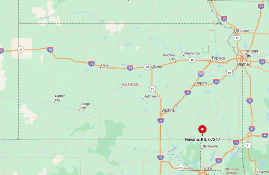
The town sits in northern Montgomery County, six miles northwest of Caney and two miles east of the Flint Hills’ first rolling limestone outcrops. Its secluded feel comes from lying a full mile off US-75 with no signage from the highway.
Drivers must turn west at an unmarked county road and cross Onion Creek on a low water bridge to arrive. The closest commercial airport is in Bartlesville, Oklahoma, an hour’s drive south.
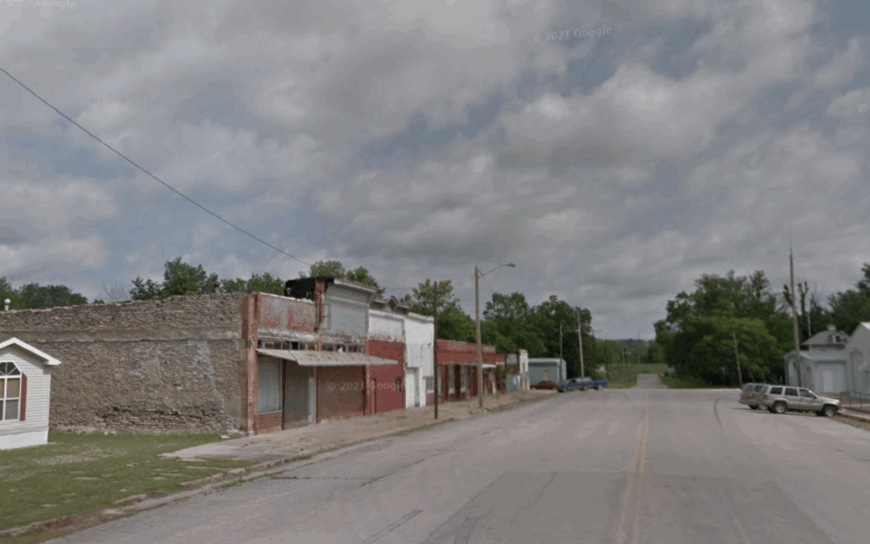
7. Liberty – Wide-Open Acreage Between Two Rolling Creeks
Liberty shelters about 120 residents spread over large, creek-bordered lots that encourage wildlife sightings. Deer browse orchards at dawn, while kids fish Pumpkin Creek for channel cat only a block from their back doors.
A small welding shop, a volunteer fire department, and seasonal farmhands make up the workforce, leaving the settlement free of chain stores or stoplights. The nearest city, Coffeyville, sits twelve miles away, yet intervening hills block its glow so completely that Milky Way viewing is routine.
Two creeks frame the town and push roads to the perimeter, keeping drive-through traffic nonexistent. As a result, roosters often outnumber passing cars at breakfast time.
Where is Liberty?
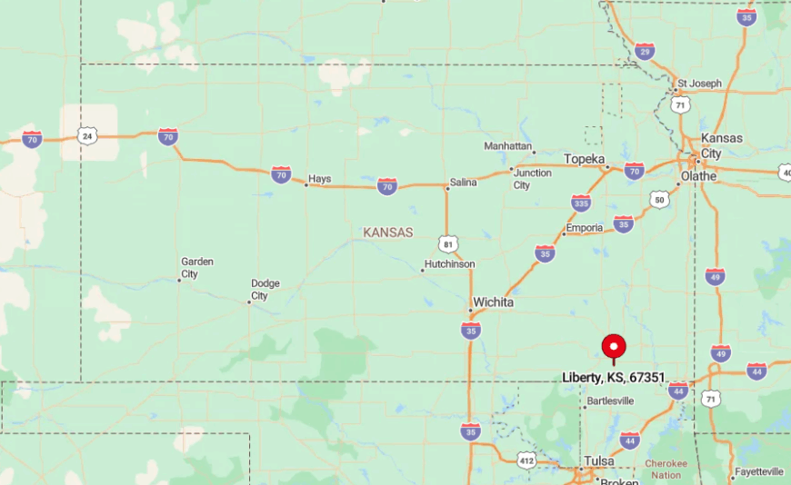
This Montgomery County village rests just north of US-166 but hides down a spur that ends at the fire station. Rolling pasture and the twin creek valleys isolate it from the commerce strip along the highway.
Visitors coming from Coffeyville follow County Road 3900 south, then jog east on a narrow blacktop that locals simply call Liberty Road. The lack of truck stops or franchises en route signals you are leaving the beaten path.
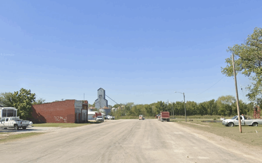
6. Elk City – Lakeside Village Capped by Wooded Bluffs
Elk City records close to 250 citizens, many living on oversized parcels overlooking Elk City Lake. Residents hike the Table Mound Trail, launch kayaks from the largely uncrowded Timber Road ramp, and photograph bald eagles that winter on the lake’s ice-free coves.
Tourism tied to the lake, a small bait shop, and part-time ranch work form the economic core. High limestone bluffs and state-park forest encircle the settlement, blocking both wind and outside noise.
Because no numbered highway runs through town, visitors often remark that they feel like they stumbled onto a private resort. At night, tree frogs harmonize with the soft hum of generators from the lakeside campground, and not much else.
Where is Elk City?
Elk City lies in western Montgomery County, five miles north of US-160 and eight curving miles west of Independence. The lake’s serpentine shoreline and steep hills force roads to weave, which slows travel and keeps heavy traffic away.
The simplest route is K-525 from Independence, a road that narrows to two lanes and ends at the dam. No public transport serves the area, so reaching Elk City requires a personal vehicle and a willingness to drive the curves.
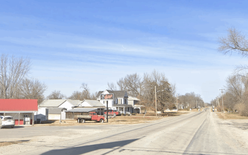
5. Elsmore – One-Road Junction Surrounded by Soybean Seas
Elsmore counts barely 75 residents, nearly all living within a three-block stretch along Main Street. When locals are not tending gardens, they gather for pie socials at the Methodist church or drive north for Friday-night football in Moran.
Farming dominates livelihoods, especially soybeans and winter wheat hauled to elevators fifteen miles away. The wide, flat landscape means sound carries, yet with no major route nearby, the loudest noise is often a distant combine.
Mile-wide squares of cropland encircle town, providing sunsets that appear to swallow the horizon. Streetlights end after one block, so a full moon is enough to cast shadows across the entire settlement.
Where is Elsmore?
The village sits in southeastern Allen County, just south of State Highway 54 yet screened from it by open section lines and shelterbelt rows. Travelers must leave the highway at Delaware Road and drive five miles of ruler-straight blacktop to reach Main Street.
Absence of rail service and commercial flights in the county adds to the isolation. Most arrivals are locals, farmers, or cyclists tracing the low-traffic Kansas Byway 2.
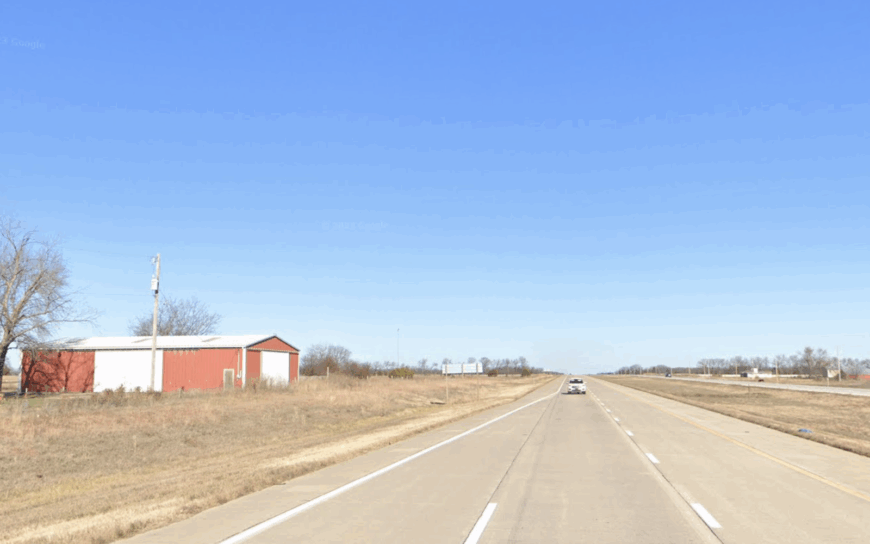
4. Mound Valley – Hilltop Enclave with Miles Between Neighbors
About 350 people make their homes in Mound Valley, a town perched on gentle rises that give it its name. Residents bike the newly paved Prairie Spirit Extension on quiet mornings, then cool off at the spring-fed city pool that few outsiders notice.
Ranching, a small lumber mill, and home-based crafts generate income without adding bustle. Rolling mounds and patches of oak scrub scatter homesteads across wide acreage, creating natural buffers between neighbors.
The valley’s shape shields the town from US-160 traffic three miles north. Even during the county fair in nearby Altamont, Mound Valley streets remain calm enough for children to ride scooters down the center line.
Where is Mound Valley?
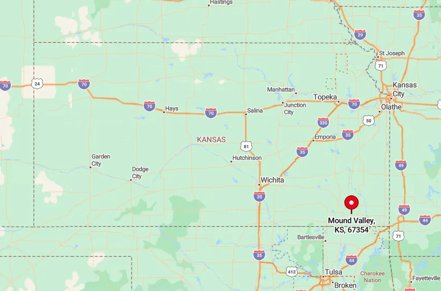
Located in western Labette County, the town rests south of the Neosho River watershed and north of the Verdigris. Drivers usually exit US-160 at a lone gas station, then wind through three miles of pasture on County Road Finney to crest the main ridge.
No intercity bus line or passenger rail comes close, and the nearest commercial airport is in Joplin, Missouri, an hour and a half east. That distance ensures the night sky stays ink black and traffic maps barely register the area.
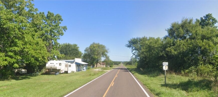
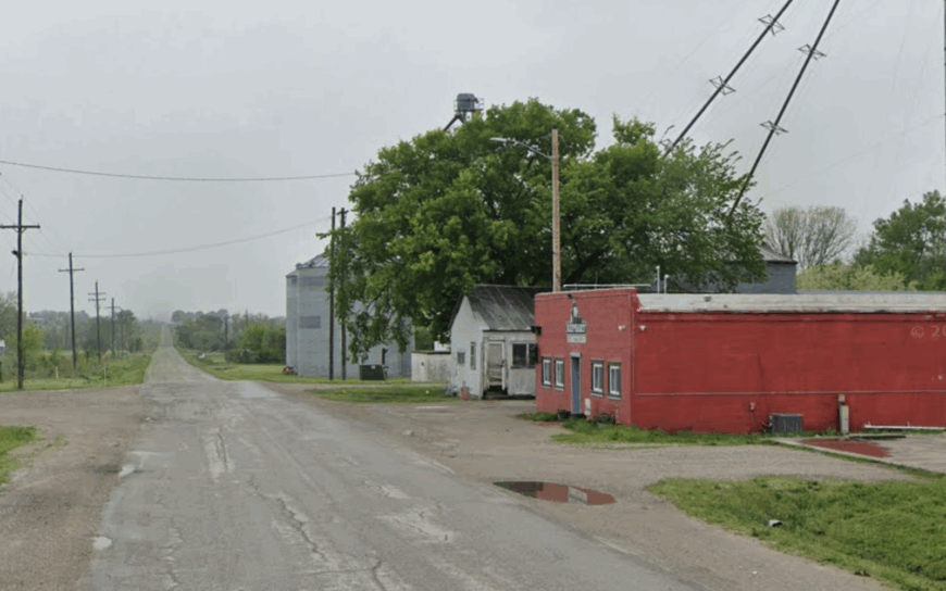
3. Englevale – Forgotten Mining Camp Now Cloaked in Timber
Englevale, technically unincorporated, hosts fewer than 200 residents scattered along former mine pits now filled with water and ringed by second-growth forest. Locals fish reclaimed strip-mine lakes for largemouth bass or ride ATVs on abandoned rail grades that twist through woods laden with wild blackberries.
Small-scale logging and part-time jobs in nearby Girard provide modest income, while the town’s past as a coal camp lingers only in a brick smokestack beside the community center. Oaks and walnuts have reclaimed slag piles, muffling noise and making the settlement almost invisible from the county road.
With no businesses on the highway and no streetlights beyond porch bulbs, fireflies supply much of the summer illumination. Evening air smells of cut wood and campfire smoke instead of diesel exhaust.
Where is Englevale?
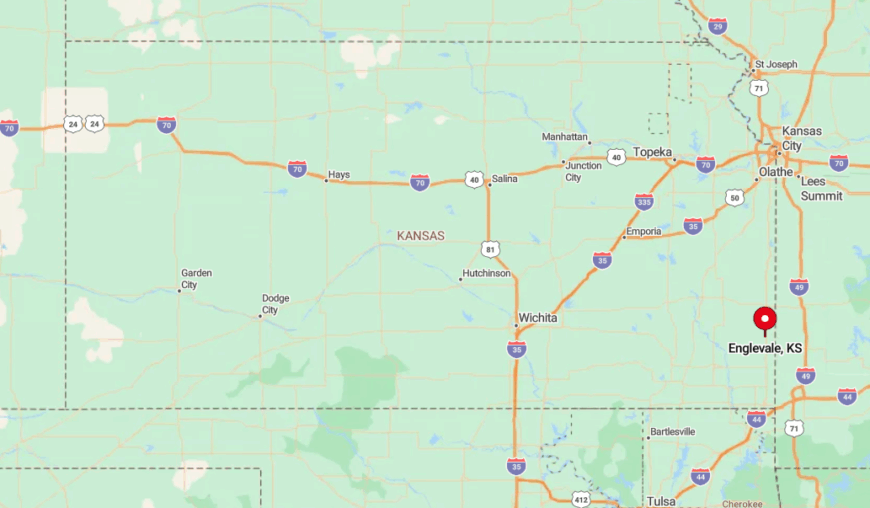
The camp sits in western Crawford County, roughly nine miles southwest of Girard and three miles off State Highway 7. Thick forest hides it from the highway, and only one gravel road marked with a small county sign points the way.
Visitors coming from Pittsburg must weave through a checkerboard of section roads, many of them unpaved. Once inside the tree line, GPS signals wobble, underscoring just how tucked away the town remains.
2. Galesburg – Meadowlark Country at the End of the Rail-Trail
Galesburg tops out near 150 inhabitants, most of whom know every dog in town by name. Cyclists finish the 6.5-mile Lehigh Portland Spur of the Southwind Rail-Trail here, often rewarded with homemade ice cream at the volunteer-run depot on Saturdays.
Grain farming and a small engine repair shop form the economic backbone, with many residents commuting to Parsons for additional work. The nearest thoroughfare is K-47, but an 18-mile gap keeps big-rig noise at bay and lets meadowlarks claim the soundscape.
Spacious lots border tallgrass meadows where monarchs stop on fall migrations, turning backyards into miniature sanctuaries. After dark, distant train horns rise over the prairie but quickly fade, leaving a blanket of quiet.
Where is Galesburg?
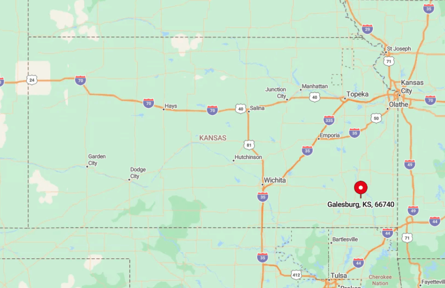
The town sits in Neosho County, just east of the confluence of Flat Rock Creek and the Neosho River. Reaching it involves leaving US-59 at Erie, then driving ten rolling miles where paved road becomes gravel for the final stretch.
The Southwind Rail-Trail is the only consistent link to larger towns, yet even it ends in crushed limestone two blocks from Main Street. Lack of direct highway or bus service cements the community’s seclusion.
1. Wilburton – Remote Crossroads Beneath the Tallgrass Sky
Wilburton is little more than a crossroads, yet roughly 60 residents maintain ranch gates set a quarter-mile apart across the surrounding prairie. Visitors often come to photograph prairie chickens at dawn or explore the crumbling foundation of an 1880s stage stop that locals keep mowed out of respect.
Ranching supplies the sole industry, with calves shipped seasonally to Oklahoma stockyards. With no post office, no store, and the nearest chain retailer half an hour away, the settlement remains blissfully removed from modern clamor.
Gravel roads fade into prairie in all four directions, and night brings a dome of stars uninterrupted by power plant glow. Only wind moving through big bluestem grass breaks the silence.
Where is Wilburton?
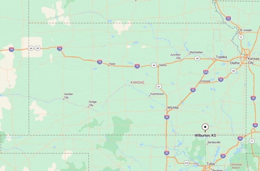
The hamlet lies in northern Chautauqua County near the Elk River headwaters, a full ten miles north of the already small town of Niotaze. It hides at the junction of Road 21 and Road 6, both unpaved and unsigned for long stretches.
Travelers usually rely on county plat maps or local directions that reference mailbox colors instead of mile markers. Those who make the trip discover one of the quietest places left in the Sunflower State.


