Would you like to save this?
Northwest New Mexico rewards the patient traveler with sprawling skies, lonely highways, and settlements so small they can escape notice even on a detailed road atlas. Our team has gathered twenty five of those quiet places—a mix of Navajo chapters, ranch outposts, and river hamlets—where isolation is more feature than flaw.
Each town offers its own blend of outdoor adventure, historic quirks, and star-studded nights free of neon glare. Populations seldom top a few hundred souls, industries lean on ranching or tourism light enough to leave the land largely untouched, and distance from interstates keeps traffic low.
Whether one is plotting a weekend of fly-fishing or scouting acreage far from subdivision life, these communities prove solitude is still alive on the Colorado Plateau’s southern fringe. Below, we count them down, highlighting what there is to do, how residents earn a living, and why the modern world feels pleasantly far away.
25. Torreon, NM
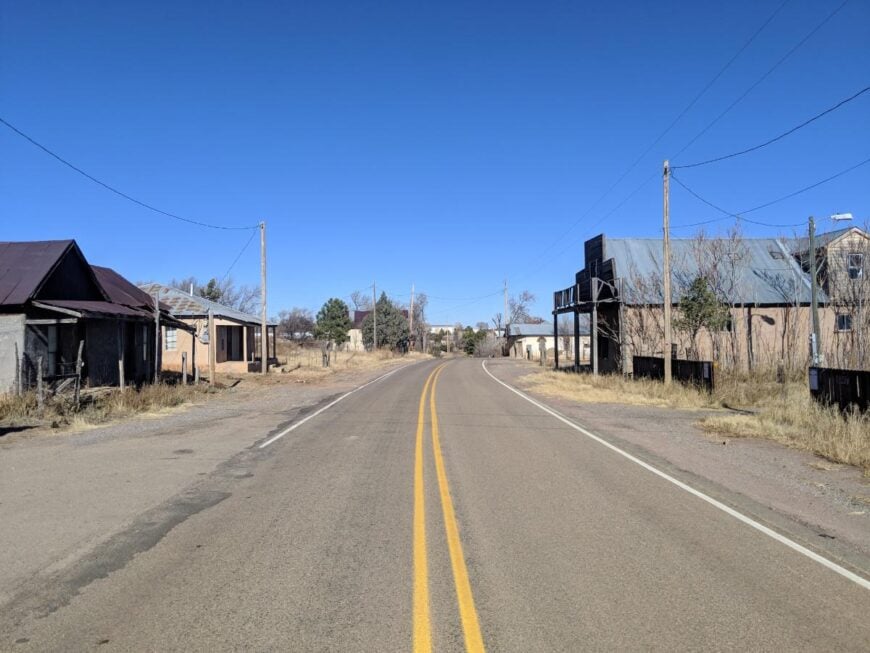
Torreon rests at the edge of the Manzano Mountains, where red earth meets high desert sky and piñon pines scatter across the ridges. It began as a small Spanish settlement, its name taken from the old defensive tower that once stood guard here.
Life has always been tied to the land—families tending sheep, cutting wood, and passing down traditions rooted in both Spanish and Native heritage. Visitors find quiet trails climbing into the mountains, with views stretching endlessly over mesas and valleys below.
The town is small and scattered, but its stories live in adobe walls, family gatherings, and the rhythm of work carried out beneath wide skies. It’s the kind of place where history and landscape weave together, leaving you with the sense that time still moves slowly.
Where is Torreon?
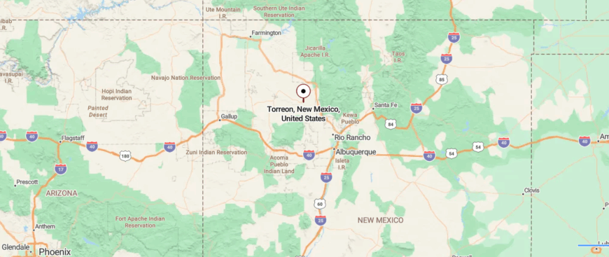
Torreon lies in central New Mexico, set at the base of the Manzano Mountains in Torrance County. About 50 miles southeast of Albuquerque, it is reached by following Route 337 south through winding mountain roads and stretches of open desert.
The journey shifts from scrubland to pine forests, with the peaks rising close as you approach. Surrounded by quiet ridges and wide skies, Torreon feels like a small village folded into the edge of wilderness.
24. Ojo Amarillo, NM
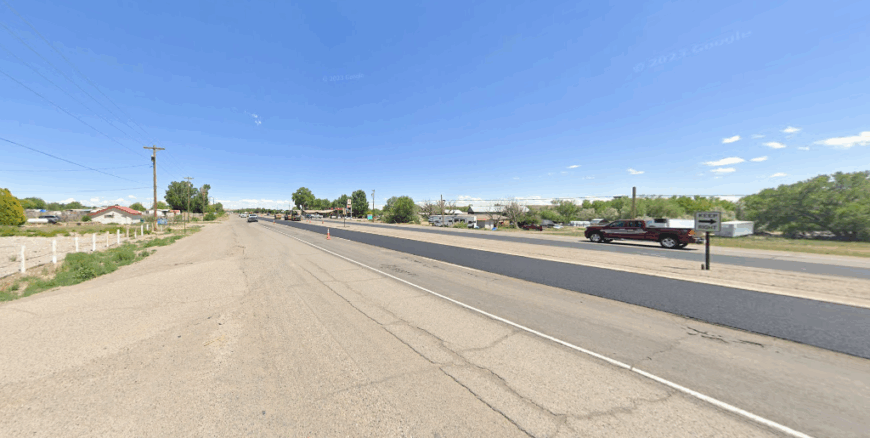
Ojo Amarillo rests in northwestern New Mexico, where red mesas rise above open plains and the horizon stretches wide beneath the desert sky. Its name, meaning “yellow spring,” reflects the sunlit earth and grasses that color the landscape.
The community is small and tied to ranching, farming, and the traditions of nearby Navajo families. Days move with the wind through sagebrush, the call of hawks above, and the steady rhythm of land-based work.
Visitors find beauty in the openness—sunsets spilling over mesas, trails weaving across arroyos, and silence that feels unbroken. It’s the kind of place where the land itself becomes memory, vast and enduring.
Where is Ojo Amarillo?
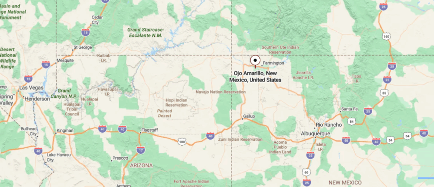
Ojo Amarillo sits in the northwestern corner of New Mexico, within San Juan County near the Navajo Nation lands. It lies about 25 miles south of Farmington, reached by U.S. Route 371 before turning onto smaller reservation roads.
The landscape is open and rugged, marked by mesas, sagebrush flats, and wide desert skies. Its remote setting and sparse surroundings give Ojo Amarillo a quiet, secluded character that feels far from city life.
23. La Jara, NM
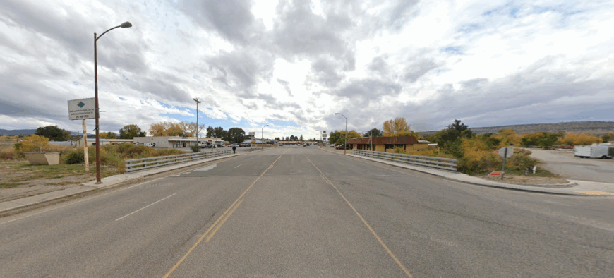
La Jara is a quiet village in northern New Mexico, its name taken from the willows that once grew thick along the streams. Founded by Spanish settlers, the town still carries the marks of that heritage in adobe homes, old fields, and traditions passed down through families.
Farming and ranching remain central, with sheep and cattle grazing on open pastures framed by mesas in the distance. The pace of life is steady—church gatherings, seasonal celebrations, and neighbors helping neighbors in rhythms as old as the land.
Visitors find traces of history in simple things: a weathered fence line, a hand-built chapel, a meal shared after long workdays. It’s the kind of place where history doesn’t feel written in books but spoken in everyday life.
Where is La Jara?
Would you like to save this?
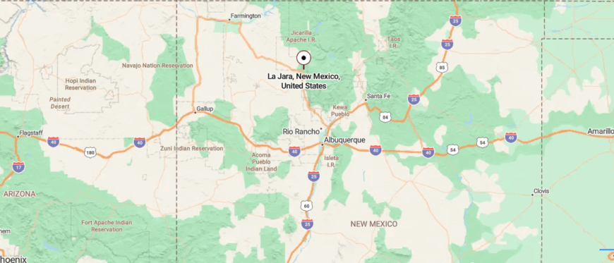
La Jara is a small community in Rio Arriba County, northern New Mexico, resting in a broad valley surrounded by forested hills. It lies about 20 miles northwest of Española, reached by U.S. Route 84 and winding county roads that narrow as they approach the village.
The area blends open meadows with stretches of piñon and juniper, giving way to mountain views in the distance. Set apart from busier towns, La Jara carries the stillness of a place held close by the land.
22. Regina, NM
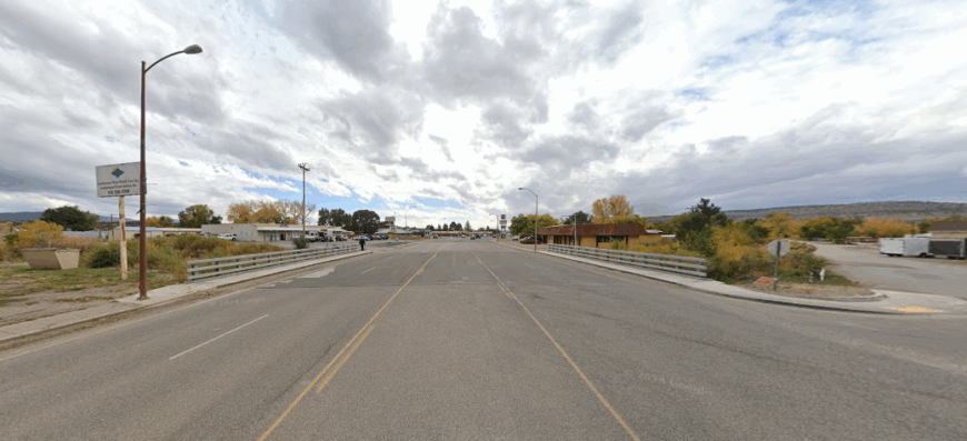
Regina sits high on the western edge of the Jicarilla Apache lands, where pine forests thin into open mesas and the sky feels impossibly wide. The town is small and scattered, its dirt roads winding past old cabins, ranch fences, and stands of juniper that catch the wind.
Life here leans on ranching, woodcutting, and the rhythms of the seasons, with long winters that hush the land and summers bright with wildflowers. Hunters and hikers come for the vast quiet, following trails into canyons where elk and deer move through shadowed clearings.
Nights bring a darkness so complete that the Milky Way spills across the horizon, unbroken by town lights. It’s the kind of place where the land feels larger than the people, reminding you of how much still belongs to wilderness.
Where is Regina?
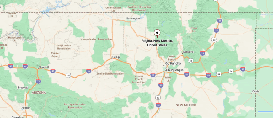
Regina is located in Rio Arriba County, north-central New Mexico, surrounded by the mesas and piñon-dotted hills of the Nacimiento Mountains. About 40 miles southeast of Cuba, it is reached by U.S. Route 96, a quiet highway that narrows into backroads leading into the village.
The land is wide and open, with high desert views stretching toward the horizon and forested slopes rising close by. In its quiet isolation, Regina feels like a small settlement where sky and land meet in solitude.
21. Youngsville, NM
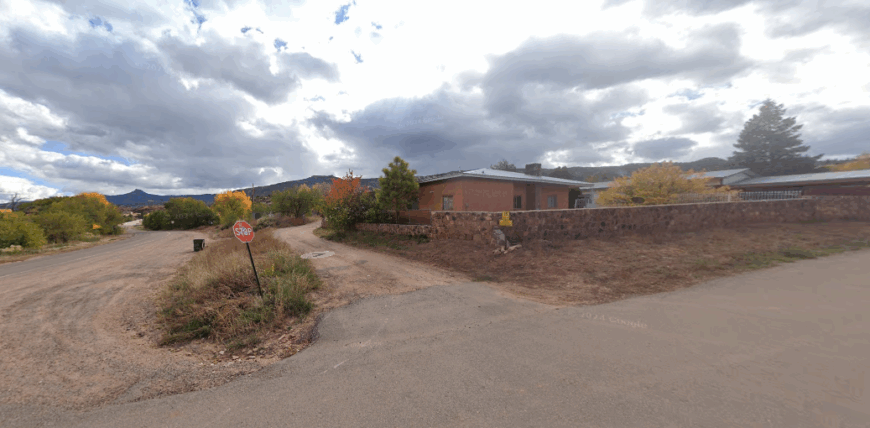
Youngsville is the kind of place you find by following a winding road into the northern New Mexico mountains, where piñon and juniper line the way. Old-timers still talk about the days when logging and ranching carried the town, and families worked the land with steady hands.
Now it’s quieter, with neighbors gathering at the small church, sharing meals, and watching the seasons shift across the mesas. The nearby El Vado and Abiquiú lakes bring fishermen and campers in summer, their voices echoing against canyon walls.
Winters are slower, marked by woodstoves burning and stories passed between generations. It’s the kind of place where memory and daily life blend, leaving you with the feeling that time is held a little more gently here.
Where is Youngsville?
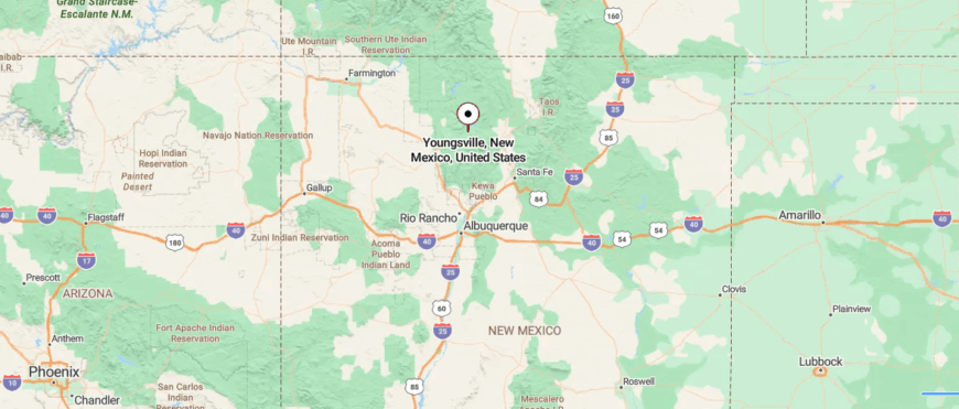
Youngsville rests in Rio Arriba County, northern New Mexico, nestled near the foothills of the Sierra Nacimiento. It lies about 60 miles northwest of Santa Fe, reached by U.S. Route 84 before turning onto Highway 96, a winding road that leads through mesas and juniper-dotted hills.
The landscape mixes high desert plateaus with glimpses of forested mountains, creating a backdrop both rugged and serene. With its distance from larger towns, Youngsville feels like a quiet pause on the edge of wilderness.
20. Coyote, NM
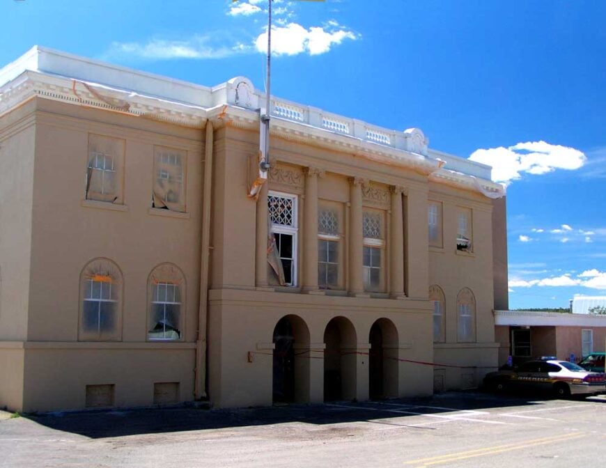
Coyote is a small northern New Mexico village that carries the weight of Spanish and Native traditions in its very name and landscape. Adobe homes and scattered ranches sit against the backdrop of mesas, with herds of sheep and cattle grazing in the open fields.
For generations, families here have worked the land, raised livestock, and passed down a way of life tied to both church and community. The rhythms of farming and ranching are joined by seasonal festivals, where music, food, and tradition bring neighbors together.
Visitors find beauty in the simplicity—hand-built fences, the sweep of desert grass, and a quiet that seems to honor the past. It’s the kind of place where heritage isn’t just remembered but lived each day in the smallest details.
Where is Coyote?
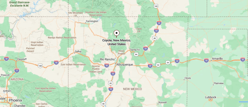
Coyote is a small village in Rio Arriba County, northern New Mexico, set among rolling mesas and wooded ridges. About 70 miles northwest of Santa Fe, it is reached by Highway 96, a two-lane road that curves through high desert country and scattered pine groves.
The settlement is surrounded by open rangeland, streams, and the distant rise of the Nacimiento Mountains. Far from crowded highways, Coyote carries the stillness of a place anchored in the wide New Mexican landscape.
19. Cuba, NM (Outskirts)
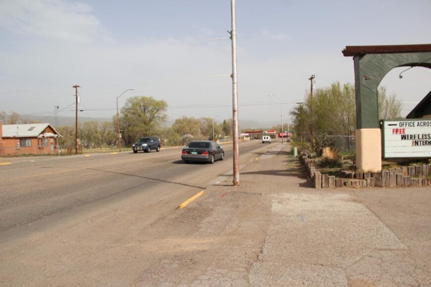
Cuba rests at the edge of the San Pedro Mountains, where wide desert plains rise into forested ridges and the horizon glows with New Mexico light. The town feels like a quiet pause on the road between Albuquerque and the northern highlands, a place both connected and removed at once.
Trails lead into the Santa Fe National Forest, where hikers find hidden waterfalls, high meadows, and views that stretch across mesas and red cliffs. Navajo and Hispanic traditions shape the community, reflected in local crafts, food, and gatherings that mark the seasons.
Small businesses and ranching anchor daily life, while travelers stop to rest before venturing deeper into the mountains. It’s the kind of place where the land itself feels like the guide, drawing you farther from the noise of the world.
Where is Cuba?
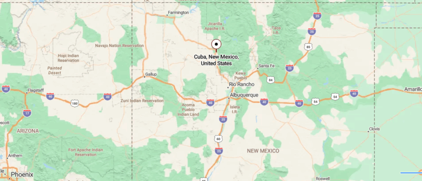
Cuba is a village in Sandoval County, northwestern New Mexico, sitting at the crossroads of U.S. Route 550 and State Road 126. Located about 70 miles northwest of Albuquerque, it is reached by a direct drive through mesas, desert flats, and high desert forests.
The town serves as a gateway to the Santa Fe National Forest and nearby Jemez Mountains, making it a natural stop for travelers heading into the wilderness. Though it offers easy road access, Cuba retains the feeling of a small outpost surrounded by wide skies and rugged landscapes.
18. Nacimiento, NM
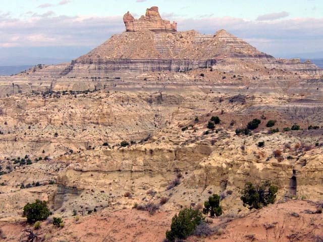
Nacimiento is a quiet settlement in Rio Arriba County, where neighbors still gather around family and tradition. With only a handful of homes and ranches, its dirt roads lead toward mesas and open pasture instead of busy streets.
Ranching, woodcutting, and seasonal work shape much of daily life, tying people closely to the land. Visitors pass on their way to the Santa Fe National Forest, stopping to hike backcountry trails, fish in clear streams, or watch elk in open meadows.
Stories of Spanish settlers and Native communities linger in the area, giving the township a layered sense of history. It’s the kind of place where roots matter more than size, and community is measured in lasting ties.
Where is Nacimiento?
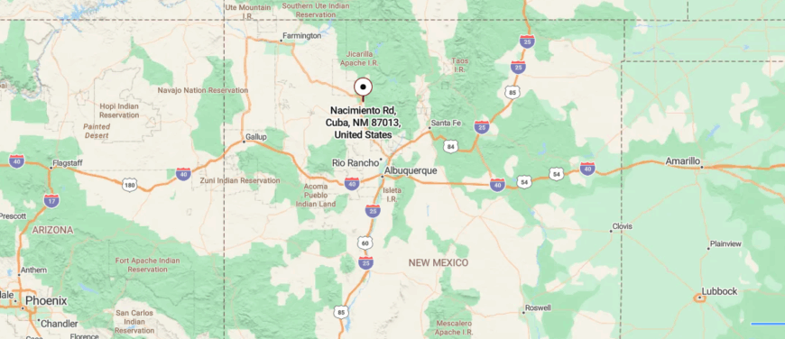
Nacimiento is an old settlement site in Rio Arriba County, northern New Mexico, set near the slopes of the Sierra Nacimiento range. It lies about 15 miles west of Abiquiú, reached by rural county roads that climb through mesas and piñon-dotted hills.
The land around it is marked by rugged ridgelines, deep arroyos, and sweeping desert views that stretch toward the horizon. With its high, quiet perch in the mountains, Nacimiento feels like a place where history lingers in the stillness of the land.
17. Gallina, NM
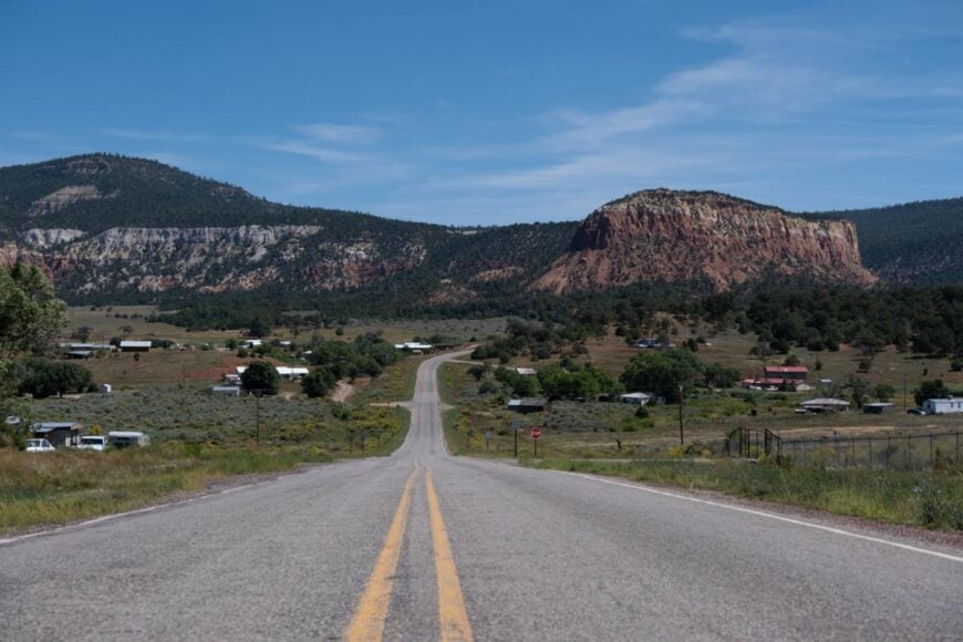
Gallina lies in a quiet valley of Rio Arriba County, where mesas rise in rust-colored tiers and the horizon stretches into endless blue. The air carries the scent of sage and juniper, and the rhythm of life feels bound to the sun’s slow climb and fall.
Nearby, the Chama River winds past cottonwoods, offering places to fish or simply sit and watch the water slide by. Trails lead toward canyons and ridgelines, where elk move silently through the timber and the sky opens wide above.
A history of ranching and small-scale farming still shapes the land, though the wilderness often feels like the stronger presence. It’s the kind of place where the landscape itself seems to hold the memory of everyone who has passed through.
Where is Gallina?
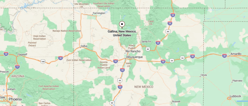
Gallina, New Mexico, rests in Rio Arriba County along U.S. Highway 96, tucked into the forested mesas and canyons of the Jemez Mountains. The community is small and rural, with a mix of traditional homesteads, ranchland, and access to surrounding public lands.
Outdoor activities nearby include hiking, hunting, and exploring the scenic landscapes that define this corner of northern New Mexico. Life in Gallina moves at a slower pace, offering a quiet retreat far removed from the busier cities of the state.
16. Llaves, NM
Would you like to save this?
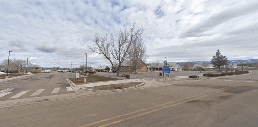
Llaves is a small northern New Mexico community whose name, meaning “keys,” reflects its place as a passage through mesas and valleys. Founded by Spanish settlers, its history lingers in adobe walls, irrigation ditches, and ranching traditions still alive today.
Sheep and cattle graze across open rangeland, framed by distant peaks. Travelers often pass through on their way to Abiquiú or the Jemez Mountains, pausing to notice the quiet roads and old homesteads.
Community life remains simple—neighbors gathering for church, branding days, and shared meals. It’s the kind of place where heritage feels like a key itself, unlocking a slower rhythm of living.
Where is Llaves?
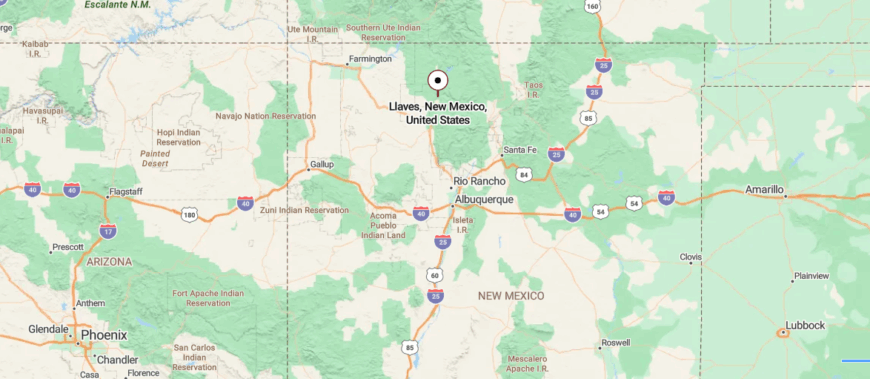
Llaves, New Mexico, is a quiet unincorporated community in Rio Arriba County, set within the wide-open landscapes of the state’s northwest. It sits along U.S. Route 112, surrounded by juniper-dotted mesas, ranchlands, and views that stretch across the high desert.
With limited development and a remote location away from larger towns, Llaves carries a secluded, rural character that reflects New Mexico’s rugged and tranquil backcountry.
15. Lindrith Mesa, NM
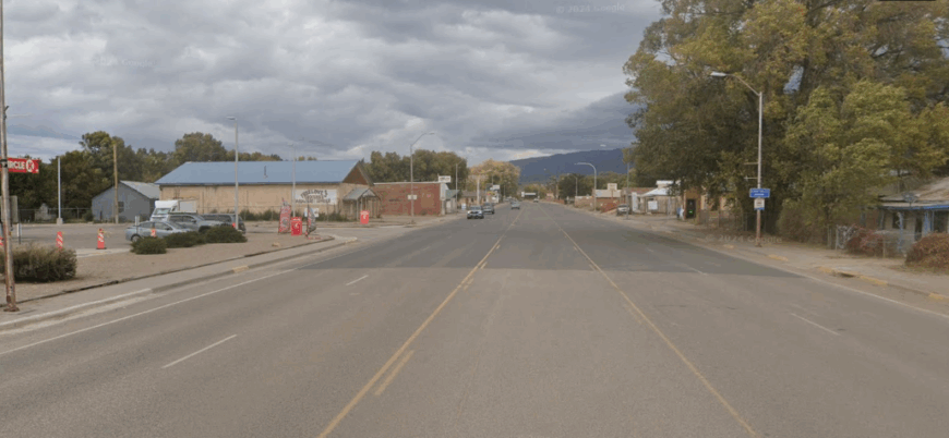
Lindrith Mesa stretches wide against the horizon, its flat top a landmark known to every family in the valley. Generations have worked this land, raising cattle, cutting wood, and keeping traditions alive through steady routines.
The mesa is more than scenery—it’s the backdrop for branding days, hunting trips, and quiet evenings under a sweep of stars. Travelers see rugged beauty here: dirt roads winding into juniper country, pronghorn on the flats, and windmills turning slowly in the breeze.
Life feels unhurried, shaped by the land and the work it demands. It’s the kind of place where stories live at kitchen tables, passed down as naturally as the seasons.
Where is Lindrith Mesa?
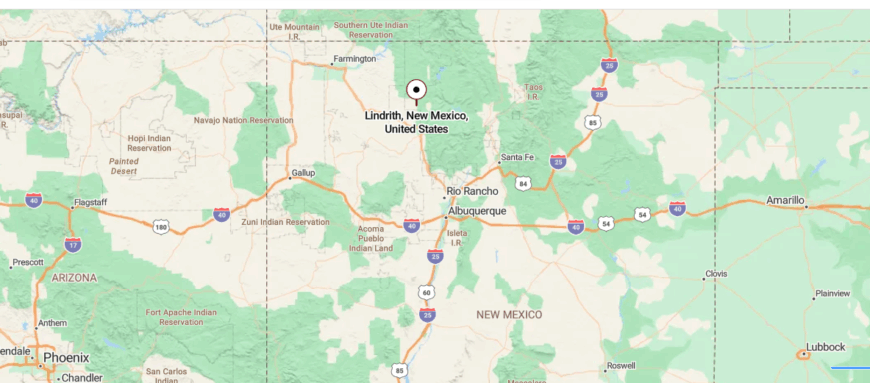
Lindrith Mesa, located in Rio Arriba County, New Mexico, is a high plateau community set against expansive desert and mountain views. The mesa lies west of Abiquiú and north of Cuba, reached by quiet rural highways that wind through pinyon-juniper woodlands and open rangeland.
Its setting offers a sense of remoteness, with wide horizons and access to nearby outdoor spaces like the Santa Fe National Forest, making it a secluded corner of northern New Mexico.
14. Canjilón, NM
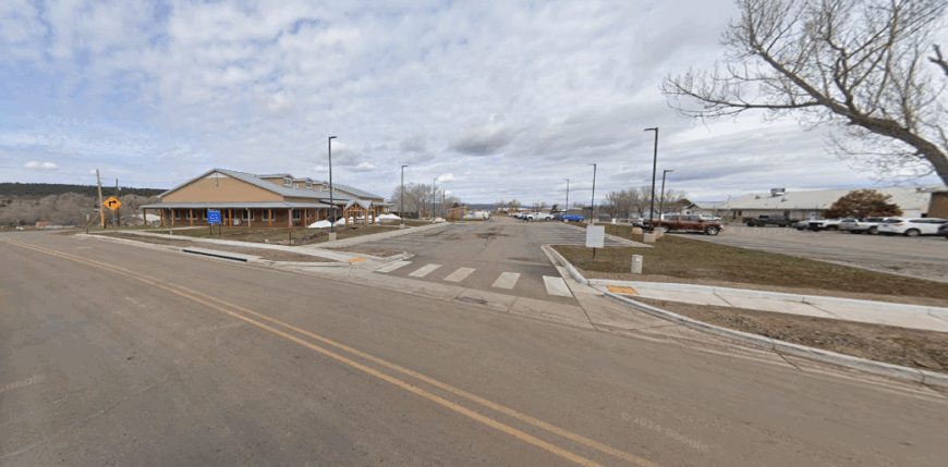
Canjilón takes its name, meaning “large drinking bowl,” from the nearby rock formations that shape the horizon. Founded in the 1800s, it grew through ranching and logging, with families building lives along the edges of the Carson National Forest.
Adobe homes, corrals, and hand-dug acequias still mark the land, tying the present to deep Spanish and Native roots. Visitors come for hunting, fishing, and the quiet of the surrounding forest, while locals continue traditions of woodcutting and ranching.
The pace here is steady, carried by both heritage and the rugged terrain. It’s the kind of place where history lives on as a way of life, not just a memory.
Where is Canjilón?
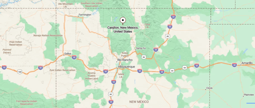
Canjilón is a village in Rio Arriba County, northern New Mexico, surrounded by the forests and mesas of the Carson National Forest. About 12 miles northeast of Cañon Plaza, it is reached by State Road 115, a rural route that winds through piñon-dotted hills and open valleys.
The area is marked by nearby lakes, trails, and mountain views that shape its quiet, rugged setting. With its remote location and natural backdrop, Canjilón feels like a community tucked gently into the edge of the wilderness.
13. Dulce Outskirts, NM
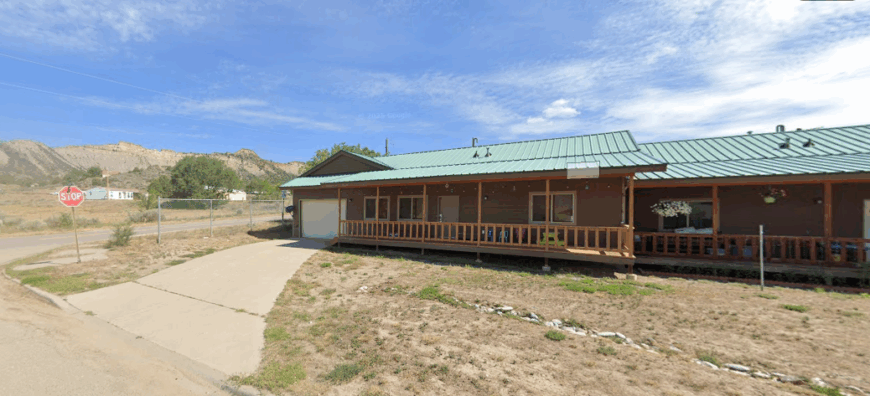
The outskirts of Dulce sit on the Jicarilla Apache Nation, where open land and scattered homesteads hold the stories of generations. This is a place where traditions run deep—ceremonies, crafts, and language keeping the culture alive against the backdrop of mesas and pine ridges.
Daily life blends old and new, with ranching, government work, and small businesses shaping the rhythm of the community. Visitors might find themselves drawn to the hills for hunting, to the rivers for fishing, or simply to the roads that carry echoes of history.
The land itself carries weight, holding centuries of connection between people and place. It’s the kind of area where heritage is not just remembered but lived, woven into every season and gathering.
Where is Dulce?
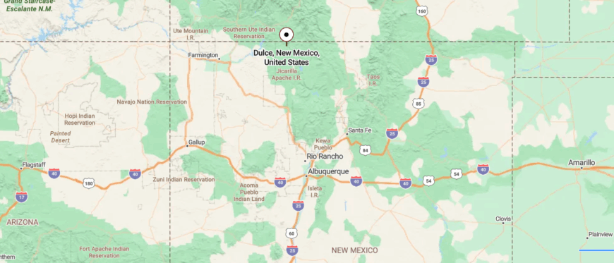
The outskirts of Dulce lie in northern Rio Arriba County, New Mexico, where the Jicarilla Apache Reservation meets forested mountains and valleys. Just south of the Colorado border, they are reached by U.S. Route 64 as it winds through pine ridges and open meadows.
Side roads lead into ranchlands, streams, and scattered homes set far apart. With mountains rising around it, the Dulce outskirts carry a quiet that feels both spacious and remote.
12. Ensenada, NM
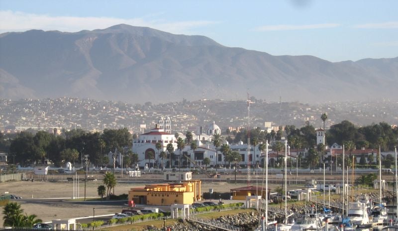
Ensenada feels like a village tucked quietly into the northern mountains, where narrow roads wind past adobe homes and fields framed by cottonwoods. Old-timers recall when every family kept sheep and cattle, and children played in the irrigation ditches that carried water from the acequias.
Today, life is gentler but still close to the land, with gardens, orchards, and firewood stacked for the long winters. Nearby Heron Lake and El Vado Lake bring campers and fishermen each summer, their voices mingling with the hum of crickets at dusk.
The rhythm here is unhurried, shaped by seasons and traditions that rarely change. It’s the kind of place where stories are told on porches at sunset, and every memory seems to settle into the hills.
Where is Ensenada?
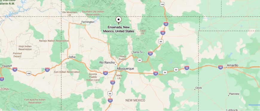
Ensenada is a small community in Rio Arriba County, northern New Mexico, nestled near the San Juan Mountains and close to the Colorado border. About 6 miles northeast of Tierra Amarilla, it is reached by U.S. Route 64 and smaller county roads that curve through open valleys and forested slopes.
The setting blends farmland with mountain backdrops, where fields meet stands of aspen and pine. Surrounded by high country views, Ensenada feels like a quiet stop pressed between farmland and peaks.
11. Monero, NM
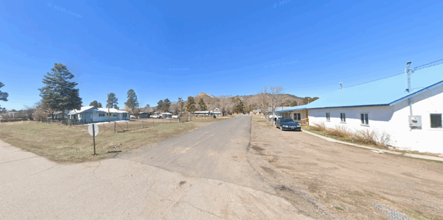
Monero sits quietly in Rio Arriba County, where mesas rise in bands of red and gold and the air carries the dry scent of sage. Once a small coal-mining community, its railroad spur and company houses have faded, leaving little but memory and land.
The wide sky feels endless here, stretching above arroyos, juniper hills, and the tracks that no longer echo with trains. Travelers find the beauty in its stillness—sunsets spilling fire over the mesas and stars bright enough to seem within reach.
The history of work remains in scattered ruins, but the land itself feels more permanent than anything people left behind. It’s the kind of place where silence becomes the story, spoken by earth and sky.
Where is Monero?
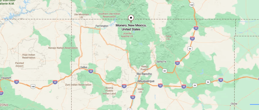
Monero is a rural community in Rio Arriba County, northern New Mexico, once known for its coal mining history. It lies about 8 miles north of Tierra Amarilla, reached along U.S. Route 64 as it climbs through wide valleys and rolling high desert hills.
The landscape is open, with scattered ranchland framed by distant mountain ridges. Quiet and sparsely settled, Monero carries the stillness of a place where the land’s history lingers in the air.
10. Counselor, NM
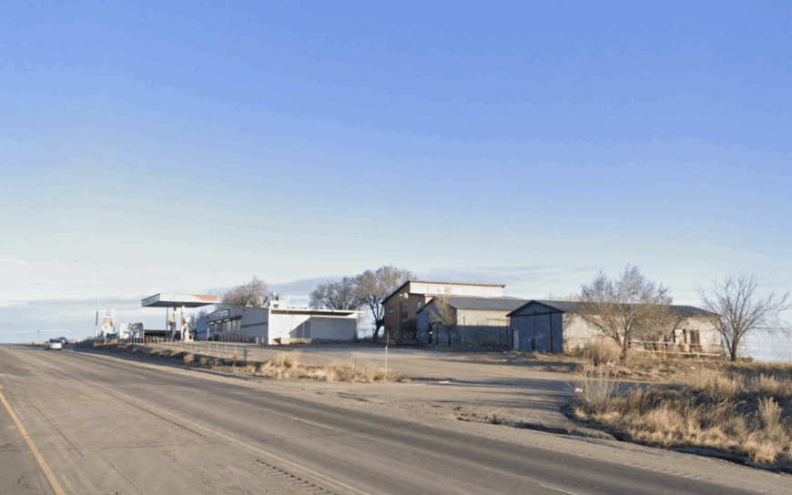
Home to roughly 60 residents, Counselor sits 65 miles south of Farmington amid blue-gray sagebrush and shale-layered badlands. Visitors can hike into the nearby Bisti Wilderness, photograph eerie hoodoos at Plaza Blanca, or simply spread a blanket for some of the darkest stargazing in the state.
Most income comes from cattle ranching, modest oil-field service work, and seasonal art sales at roadside stands along U.S. 550. A scattering of ranch houses on multi-acre tracts means neighbors are rarely in view, and there are no streetlights to ruin the Milky Way.
The lack of grocery stores, motels, or even a gas pump reinforces an end-of-the-road atmosphere. For those chasing absolute quiet, Counselor answers with wind, coyotes, and very little else.
Where is Counselor?
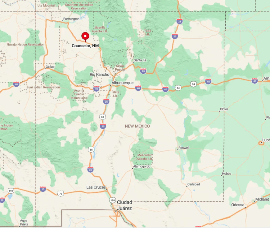
The settlement lies in eastern Sandoval County, just off U.S. 550 at the turnoff for NM-403. Surrounding miles of Bureau of Land Management terrain and checkerboard Navajo allotments block suburban creep from any direction.
Travelers reach Counselor by following U.S. 550 south from Bloomfield or north from Cuba, both drives crossing long, empty mesas. Once off the highway, gravel ranch roads quickly dissolve into two-tracks, underscoring how far one has come from town life.
9. Lindrith, NM
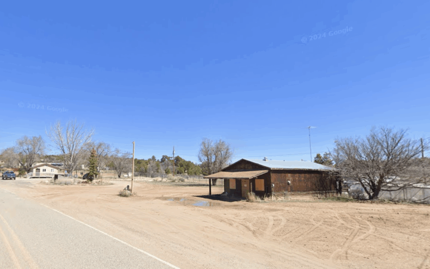
With barely 30 year-round inhabitants, Lindrith nestles in the piñon-juniper hills of southern Rio Arriba County. Days here revolve around horseback rides into Carson National Forest, turkey hunts in the fall, and community potlucks at the tiny volunteer fire station.
Ranching and small-scale logging supply most paychecks, while high-speed internet remains a rumor beyond the main dirt lane. Homes sit on one-acre-plus parcels connected by a web of rutted roads that turn to gumbo after summer storms.
Limited cell coverage and a 40-mile drive to the nearest supermarket create an enforced unplugged lifestyle. Those who choose Lindrith often cite the ability to watch elk grazing at dawn from their own porch swing.
Where is Lindrith?
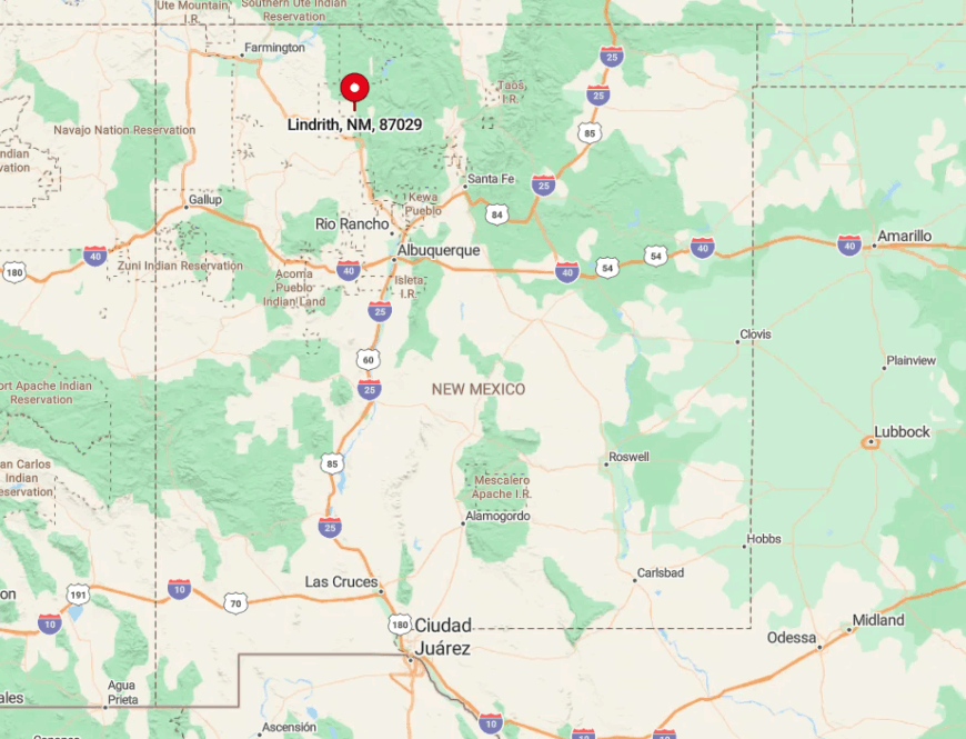
Lindrith lies along NM-595, about 20 miles west of Abiquiú Reservoir and Georgia O’Keeffe country. Encircling ridges keep radio signals weak and visitors rarer still.
Reaching the hamlet requires a slow, scenic drive over rolling sandstone bluffs from either U.S. 84 or NM-112. The final approach narrows to graded dirt, a fitting prelude to the stillness that defines the place.
8. Blanco, NM
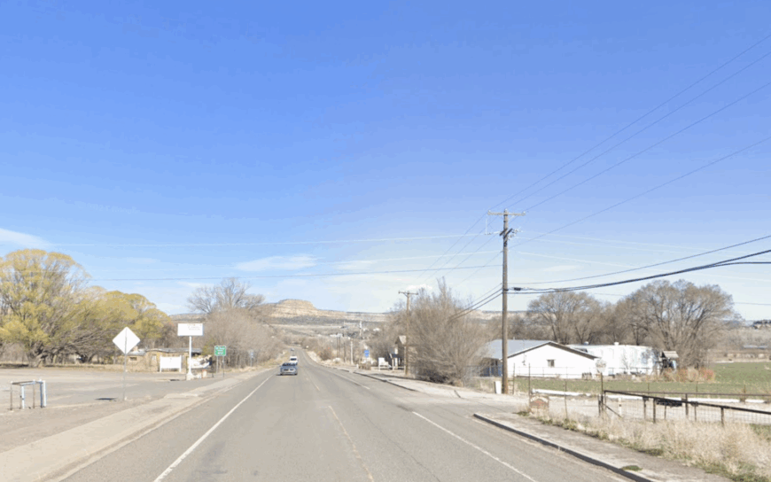
Blanco claims fewer than 400 residents stretched along a leafy bend of the San Juan River east of Aztec. Anglers drift its cool waters in search of trophy trout, while birders scan cottonwoods for bald eagles in winter.
Agriculture—chiefly alfalfa fields and small cattle pastures—anchors the local economy, supplemented by guide services tied to Navajo Lake. Roomy riverfront lots buffer homes from highway noise, and the nearest chain restaurant sits 25 miles away.
Nighttime brings silence punctuated only by flowing water and an occasional barn owl. Visitors quickly learn that the river and the sky provide most of the entertainment in Blanco.
Where is Blanco?
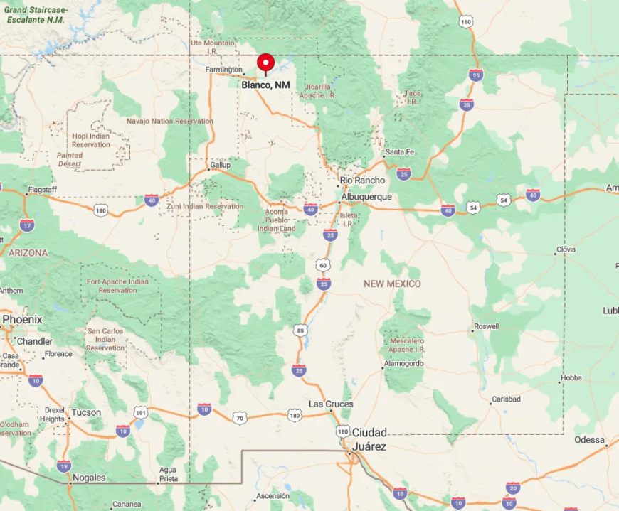
The village sits on U.S. 64, roughly halfway between Bloomfield and the dam at Navajo Lake. Cottonwood groves and a tight river valley limit development to a single ribbon of road and a few side lanes.
Drivers coming from Farmington cross open high desert before dropping into this hidden green corridor. Because there is no public transit or commercial airport nearby, arrival is strictly a keys-in-the-ignition affair.
7. Ojo Encino, NM
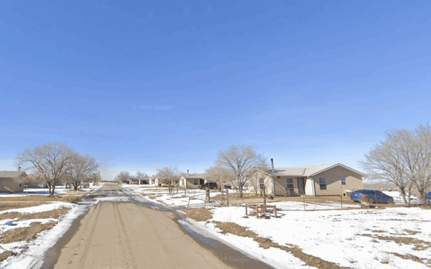
Approximately 200 people live in Ojo Encino, a Navajo chapter where wide dirt lanes meander among hogans, corrals, and wind-sculpted sandstone bluffs. Community life centers on rodeos, rug-weaving classes at the chapter house, and sheep camps that dot the surrounding open range.
Income springs mainly from ranching, seasonal construction, and arts and crafts sold at the occasional roadside market. Fifty miles of empty rangeland in every direction make it easy to forget city schedules.
With no convenience stores or gas stations, residents stock up on supplies during infrequent runs to Cuba or Gallup. The payoff is unbroken horizon at sunset and a sky so clear even faint satellites are visible.
Where is Ojo Encino?
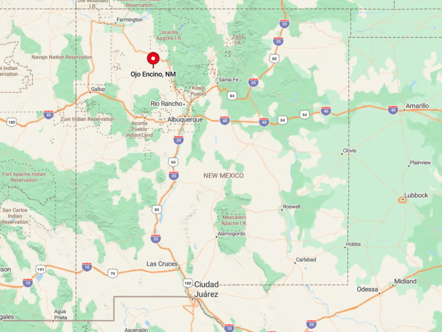
The chapter sits just east of NM-197, about 25 miles south of Counselor. Low mesas and washboard roads discourage through traffic, adding to the sense of remoteness.
Reaching Ojo Encino involves a junction off U.S. 550 at Lybrook, followed by miles of graded dirt that can turn slick during monsoon storms. Four-wheel drive is recommended, though locals swear by well-maintained pickups and patience.
6. Pine Hill, NM
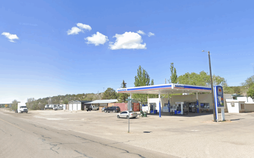
Pine Hill’s roughly 550 residents occupy a high-elevation plateau lined with ponderosa forest and black-basalt mesas. Weekends might include hiking the Narrows Rim Trail, gathering piñon nuts, or attending the annual Ramah Navajo Fair.
Livelihoods rely on the Ramah Navajo School Board, small-scale logging permits, and ranching on five-acre family allotments. The nearest full grocery store is 35 rugged miles away in Grants, so pantry planning is a local art form.
Sparse traffic, towering pines, and crisp alpine air combine to muffle outside noise. Even during summer, nights can drop into the 40s, adding another layer of seclusion for those accustomed to lower-desert heat.
Where is Pine Hill?
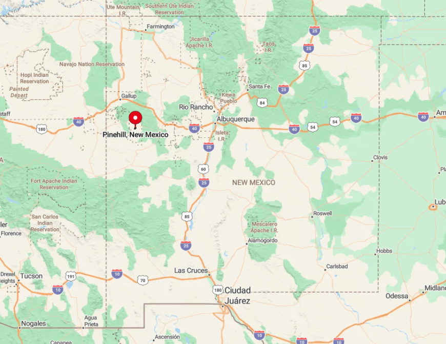
The settlement sits in southern Cibola County, reached via NM-53 and a final 18-mile spur on NM-300. Encircling mesas create a natural amphitheater that blocks radio and cellular signals.
Visitors often arrive from Gallup, threading volcanic flows and sandstone cliffs before cresting into the forested basin. Winter snows occasionally close the road, reinforcing Pine Hill’s seasonal isolation.
5. Huerfano, NM
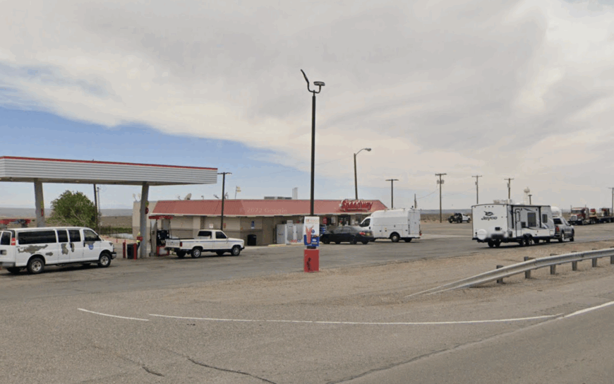
Huerfano supports about 160 people whose adobe homes perch on a sandstone rise southwest of Bloomfield. Locals explore nearby Angel Peak Scenic Area, hunt for petrified wood in dry arroyo beds, and host community dances at the chapter house on cool summer evenings.
Sheep herding, small cattle operations, and tribal government jobs provide modest income. Vast tracts of Navajo Nation rangeland stretch outward, keeping traffic noise to the faint hum of distant pickups.
Streetlights are nonexistent, so meteor showers feel like private shows. Visitors often comment on the way sandstone spires glow pink at dawn, unspoiled by development.
Where is Huerfano?
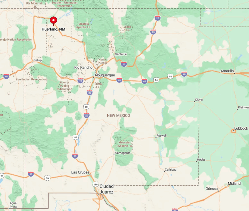
The community lies a dozen miles off U.S. 550, accessed by Indian Service Route 7060. Surrounding Bureau of Indian Affairs land restricts new construction, preserving wide sight-lines.
Traveling here involves a paved drive that quickly narrows to dirt, then climbs a ridge with panoramic desert views. The closest bus station or commercial airport sits an hour away in Farmington, reinforcing Huerfano’s quiet perch.
4. Nageezi, NM
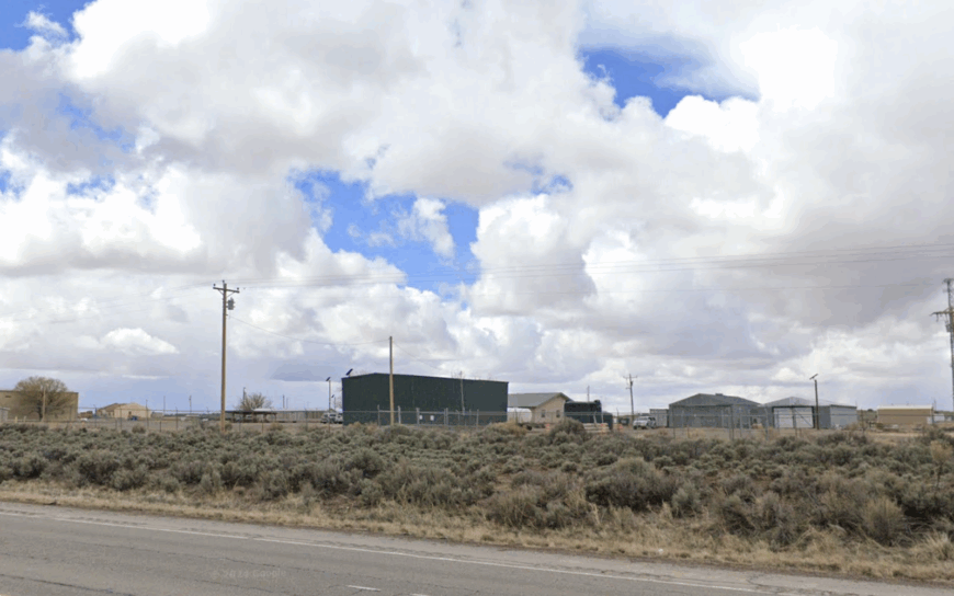
Nageezi’s population hovers near 275, gathered around a small crossroads on the route to Chaco Culture National Historical Park. Daytime diversions include touring ancient Great House ruins, photographing wild horses, or picnicking beside the rarely visited Kin Bineola outlier.
Ranch work, seasonal park employment, and local trading posts keep households afloat. Open pastures replace subdivisions, and coyotes often outnumber cars after dark. With only a scattering of homes and one convenience store, ambient noise seldom rises above a rustling breeze.
The night silence here becomes part of the landscape, as memorable as the sandstone buttes.
Where is Nageezi?
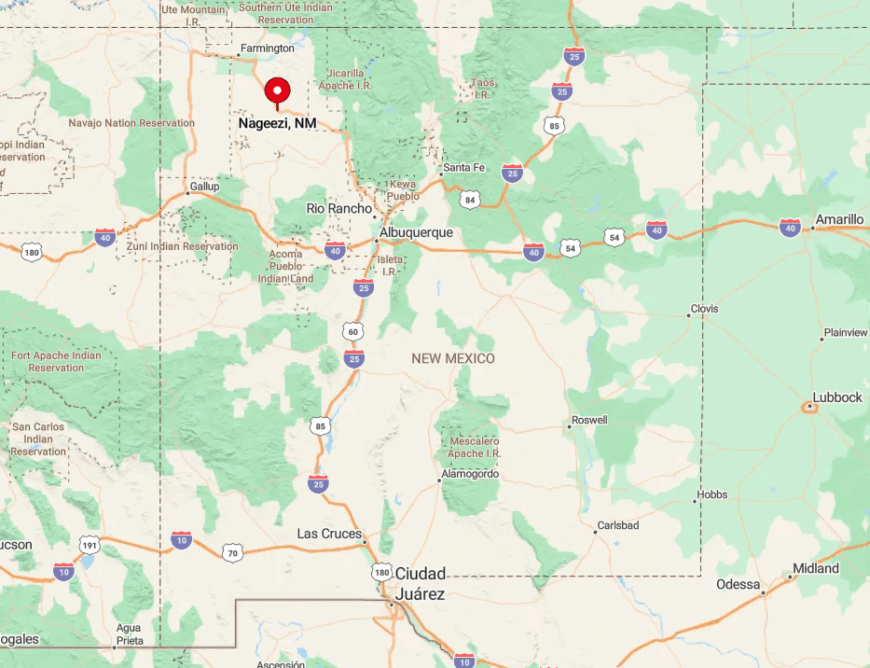
Nageezi straddles U.S. 550 roughly 45 miles south of Bloomfield. Isolation stems from its position amid Navajo grazing land and federal wilderness buffers.
Drivers heading to Chaco turn west onto County Road 7900, then bump 20 miles over washboard track—an approach that filters out casual sightseers. No public transport serves the area, so visitors must rely on sturdy tires and a full tank.
3. Sanostee, NM
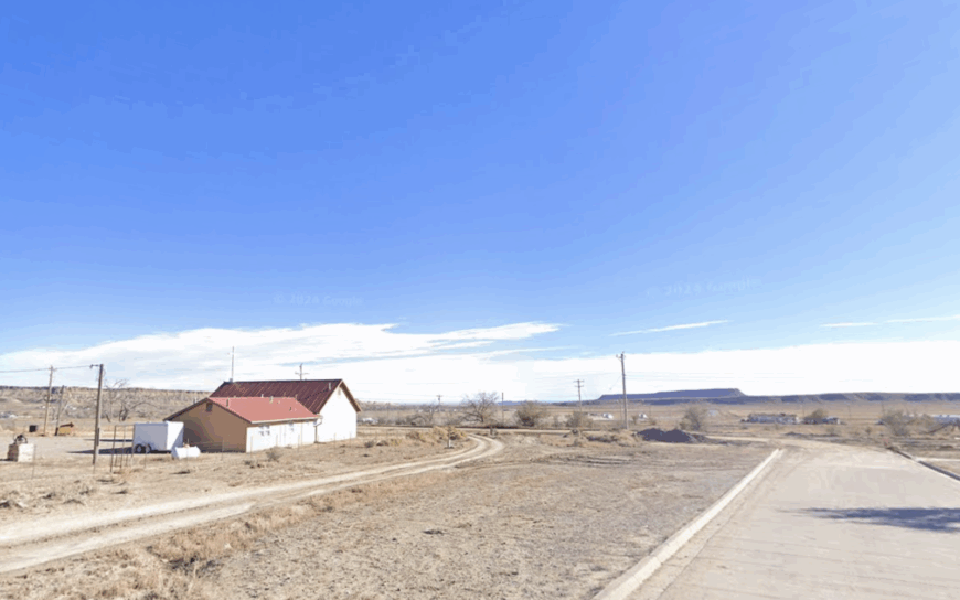
About 400 people reside in Sanostee, a valley village cradled by the forested Chuska Mountains. Residents spend weekends gathering spring water at local seeps, riding ATVs on old logging roads, and hosting family corn roasts.
The economy revolves around small farms, grazing permits, and forestry contracts tied to the Navajo Nation. Natural springs and mountain ridges create a physical buffer from busy US-491 just a few miles west.
Cell towers struggle to penetrate the fold of the valley, so calls often require a short drive up the nearest ridge. Those willing to trade convenience for clean air find Sanostee an appealing retreat.
Where is Sanostee?
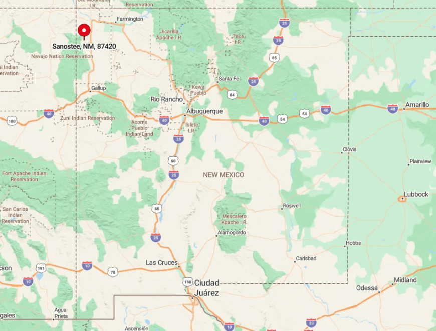
The town sits along Indian Service Route 5010, about 30 miles north of Gallup. Dense ponderosa and steep foothills funnel access to two narrow roads that can become impassable during heavy snow.
Reaching Sanostee involves leaving US-491 at Newcomb and winding eastward through piñon groves that gradually give way to tall pines. The final miles feel like entering a hidden basin guarded by the mountains themselves.
2. Ramah, NM
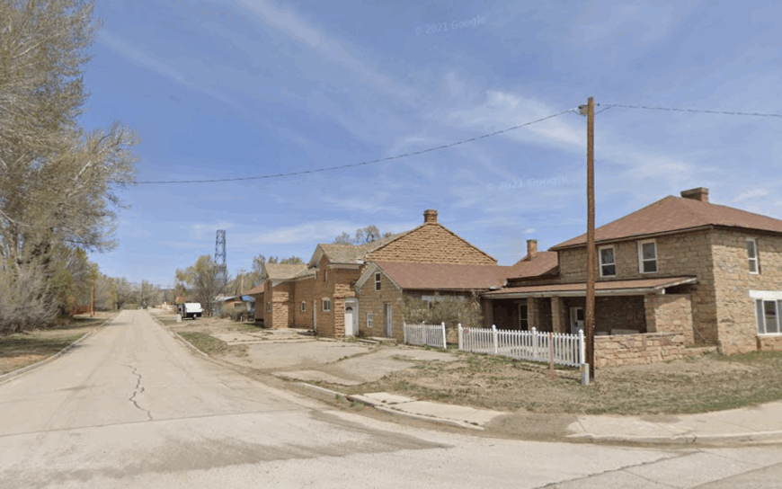
Ramah counts roughly 450 inhabitants on a pine-scented plateau 50 miles south of Gallup. Days may include hiking El Morro National Monument, exploring lava tubes at El Malpais, or browsing the weekly farmers market behind the old stone mission.
Jobs stem from tourism, ranching, and a handful of artists who sell woodcarvings and wool tapestries. A single two-lane road and large five-acre lots ensure that neighbors remain comfortably distant.
Even during peak travel season, most cars belong to locals or hikers headed to the Ice Caves, not tour buses. The ambiance is one of crisp mountain air mixed with wood-smoke from pot-bellied stoves.
Where is Ramah?
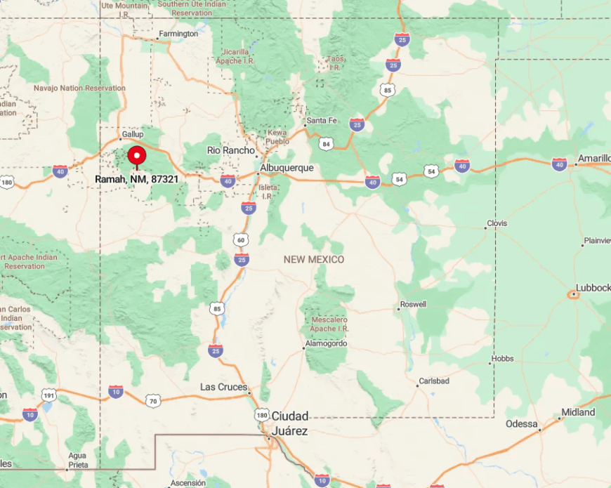
Set along NM-53 in southern McKinley County, Ramah is ringed by lava flows and sandstone cliffs that corral expansion. The nearest stoplight stands 46 miles away in Grants, underscoring its detachment from urban grids.
Travelers reach the village via NM-53 from either Grants or Zuni Pueblo, both routes offering sweeping views and minimal services. Winter storms sometimes close the road over the Continental Divide, making Ramah even quieter than usual.
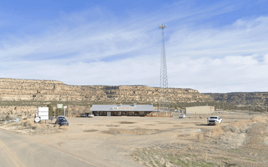
Navajo Dam supports around 300 full-time residents who live in scattered cabins and homes along the north shore of Navajo Lake. Fly-fishing on the world-famous San Juan River, kayaking secluded coves, and combing cedar-dotted ridges for petrified wood occupy much of local life.
The area’s income centers on guide services, marina work, and seasonal hospitality roles catering to anglers, yet even peak season feels uncrowded thanks to five-acre zoning. A 40-mile gap to the nearest sizeable town means bright city lights never reach these hills.
Nights belong to crickets and the distant whir of a boat motor heading home. Those craving privacy find that lake fog at sunrise feels like their own personal veil.
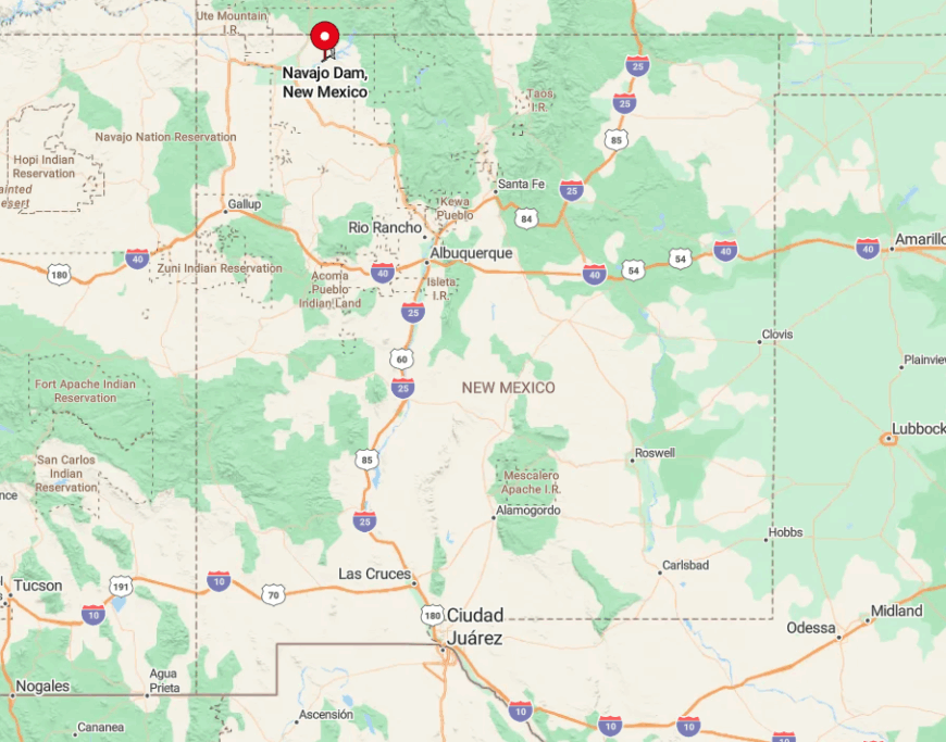
The community spans NM-511 in San Juan County, hugging the reservoir’s north rim. A patchwork of state land, steep ridges, and water on three sides curtails development and maintains solitude.
Access requires a drive east from Bloomfield on US-64, then north on NM-511, a route that winds through open ranchland before descending toward the lake.
With no public transport and limited cell service in canyons, travelers plan ahead, ensuring Navajo Dam remains one of the quietest waterfront retreats in the Southwest.


